The Nuneaton and North Warwickshire Local and Family History Web Site
Search
  • Home Page
  • Images from the archives
    • Events & News from the Past
    • Local People
    • Townscapes - Nuneaton
    • Townscapes - Bedworth
    • Townscapes - Atherstone
    • Villages, Parishes, Churches & Estates
    • Family Images
    • Mystery Photos (Can you identify them)
    • Sports, Teams and Sporting Events
    • Boer War
    • World War One
    • World War Two >
      • The Story of Alan Wilson of Nuneaton (1920-1943) and his war experience.
    • About the photographers and contributors of these images
    • Local Industries >
      • MIRA
    • Brickyards, Quarries & Collieries (Extractive Industries)
    • Railways >
      • On London & North Western Railway Lines
      • On Midland Railway Lines
      • Industrial Railways
    • Canals >
      • Canal Films
    • Road Transport - Buses >
      • Motoring Through Time
      • Commercial Vehicles
      • The Days of Horses
      • Cycling and Motorbikes
    • Along the Watling Street >
      • Around North Warwickshire Parishes
      • Archives and Documents
  • Archives, Documents, Articles on North Warwickshire
  • Family History Research Resources
  • Maps & Plans from the Archives
  • Local Parishes
  • George Eliot
  • Ken Loach
  • Larry Grayson (Billy Breen)
    • A Tribute to Larry Grayson
  • Boadicea (Boudicca)
  • The Battle of Bosworth
  • Memories
    • Remembering the War
    • Local Newspaper Clippings & Trade Advertising
  • Forum & Discussions
  • Useful links
  • Link to BBC Coventry & Warwickshire Radio Here
  • Contact
  • Films
    • The Ritz Compton Organ
    • The Restoration of Astley Castle by the Landmark Trust
    • Bus Trip Nuneaton-Wicksteed Park 1932
    • Nuneaton Carnival in the 1930's
    • Nuneaton Rail Crash 1975
    • The Midland Red at Nuneaton Bus Station in the 1980's by Robert Deloyde
  • Nuneaton Steam Club
    • The Rev. Teddy Boston and the famous Cadeby Light Railway (Leicestershire)
  • Remember the Co-Op Hall
  • Local Hauntings, Myths & Legends
  • Blog

Ansley

Picture
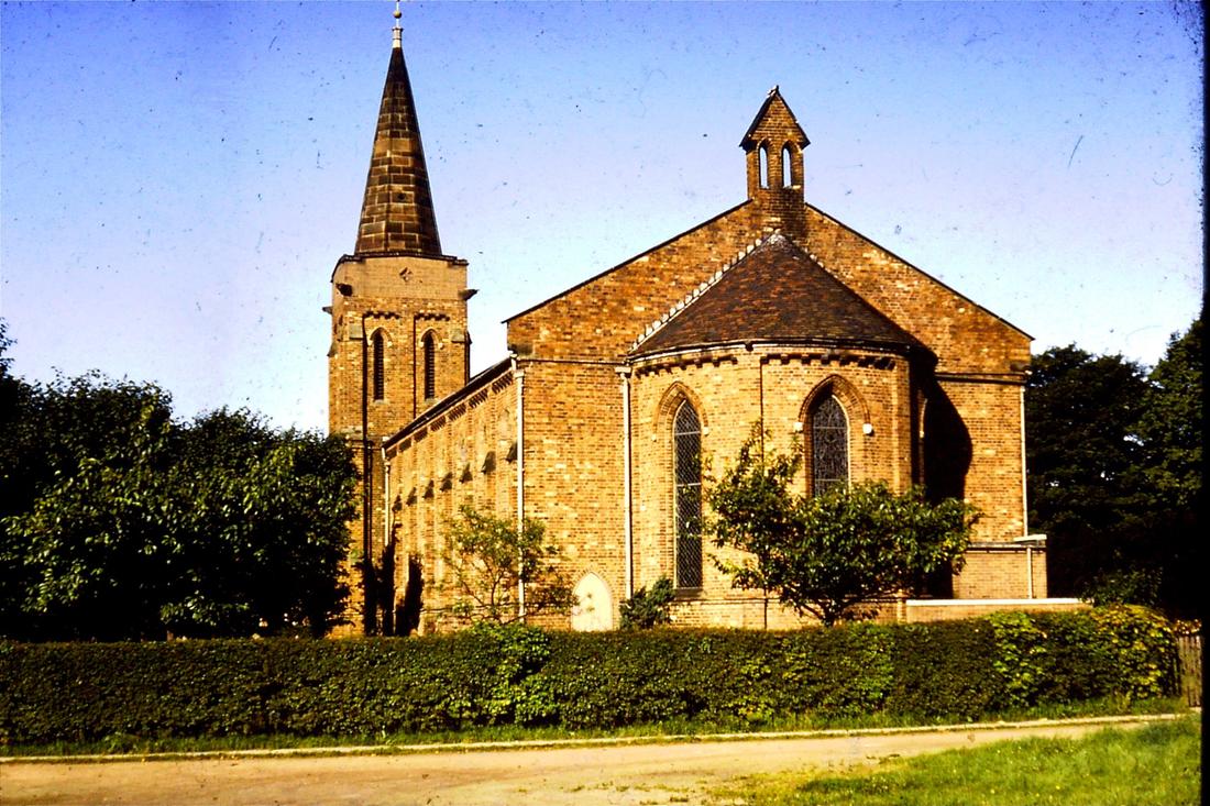
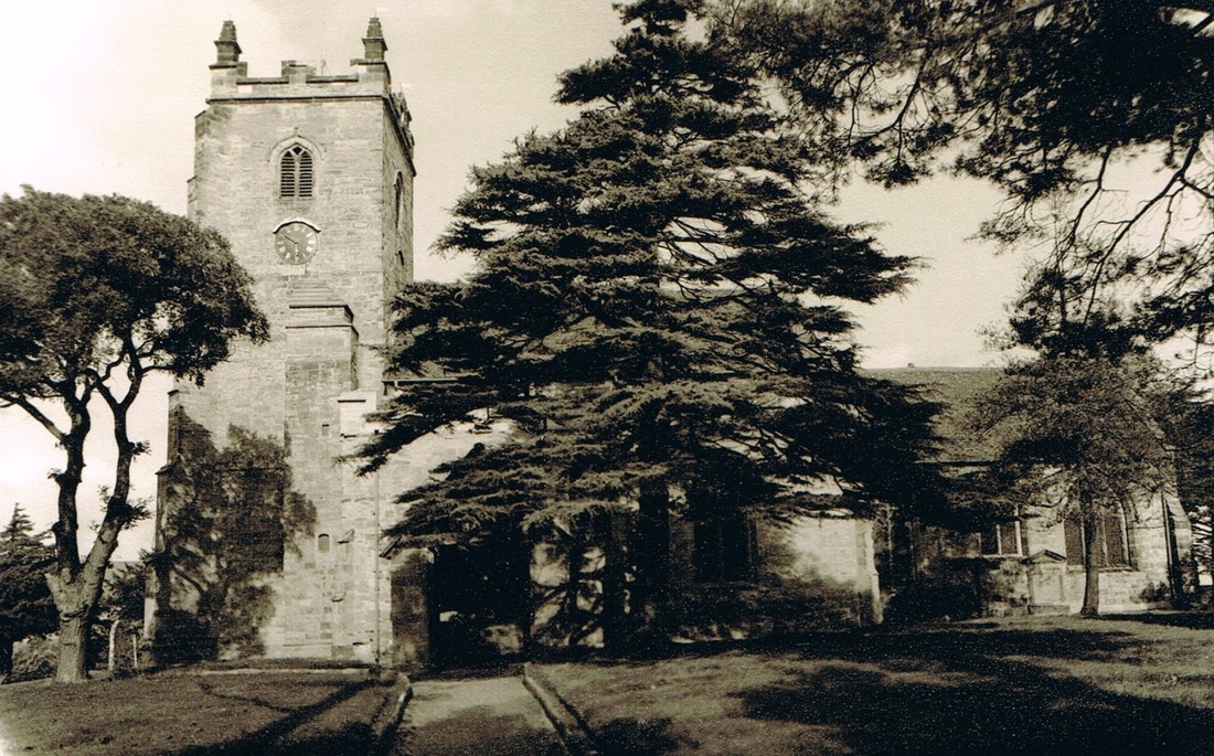
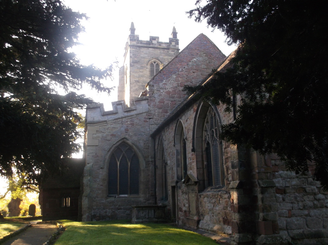
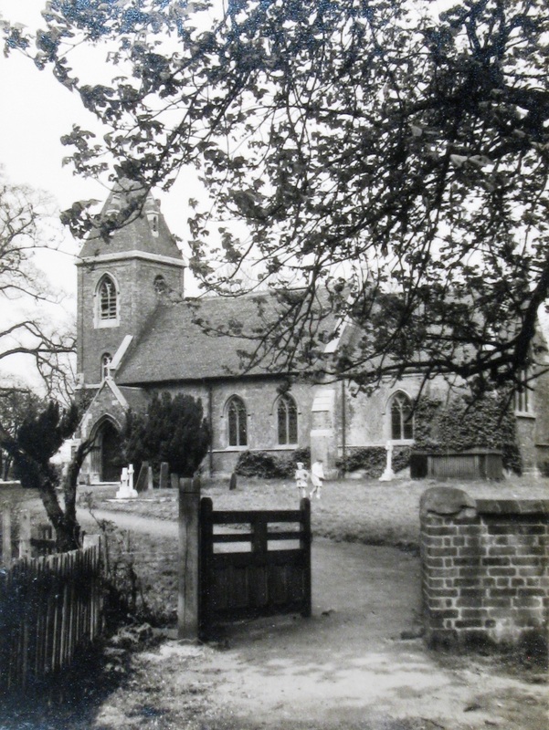
Ansley Church
Picture
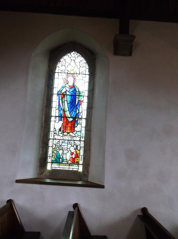
The William Morris window in Ansley Church (Peter Lee)
Picture
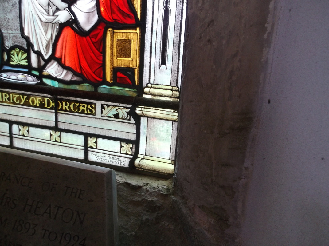
A close up of the William Morris window showing the designer's name in the bottom right hand corner.(Peter Lee)
Picture
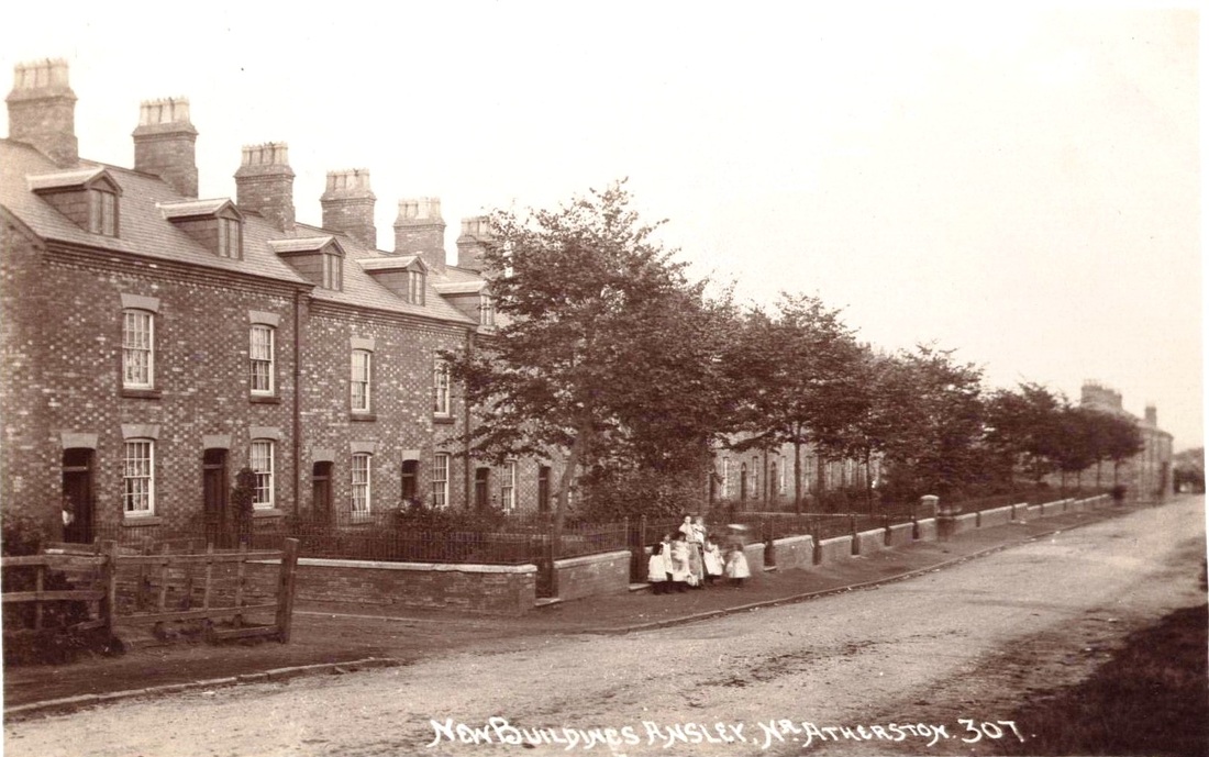
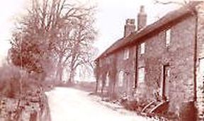
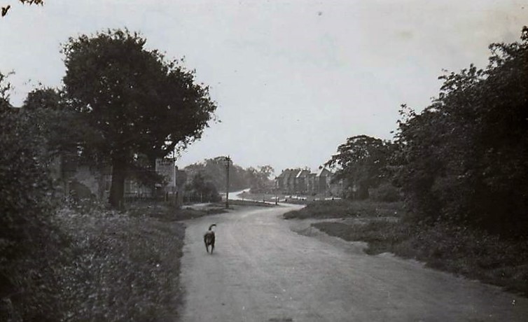
Ansley Common. Miner's houses. c.1900. The roadway heads towards Nuneaton. The cottages look quite new in the photo. (Alan Cook Collection)
Picture
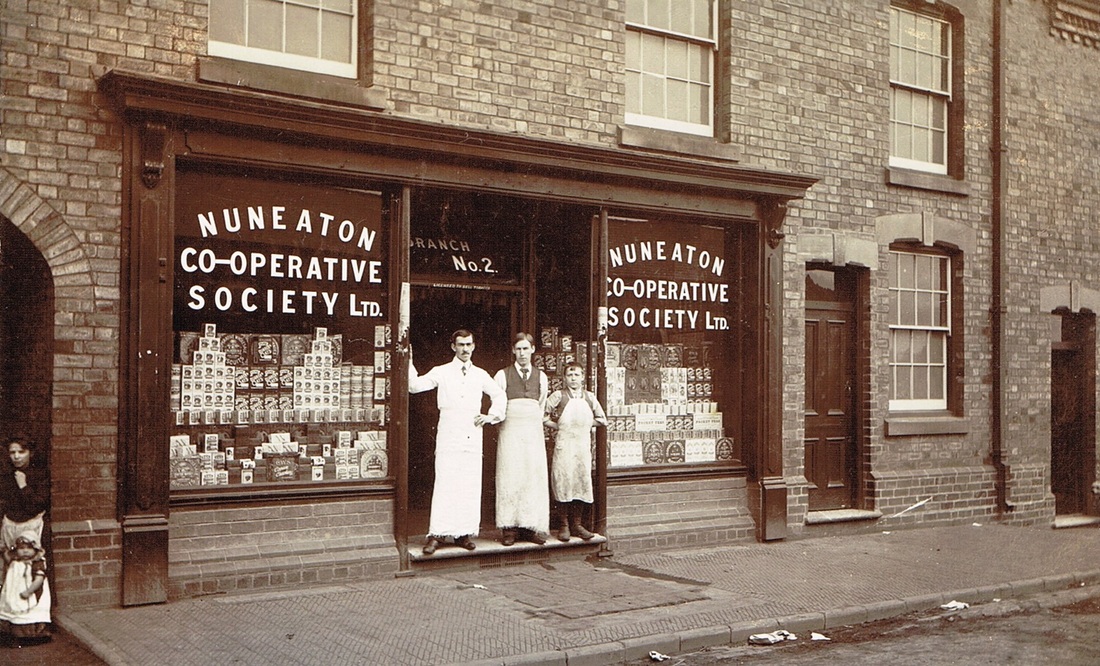
Believed to be the local Co-Op store in Ansley Common.
Picture
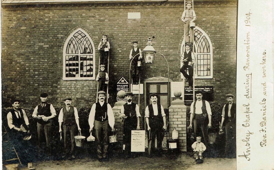
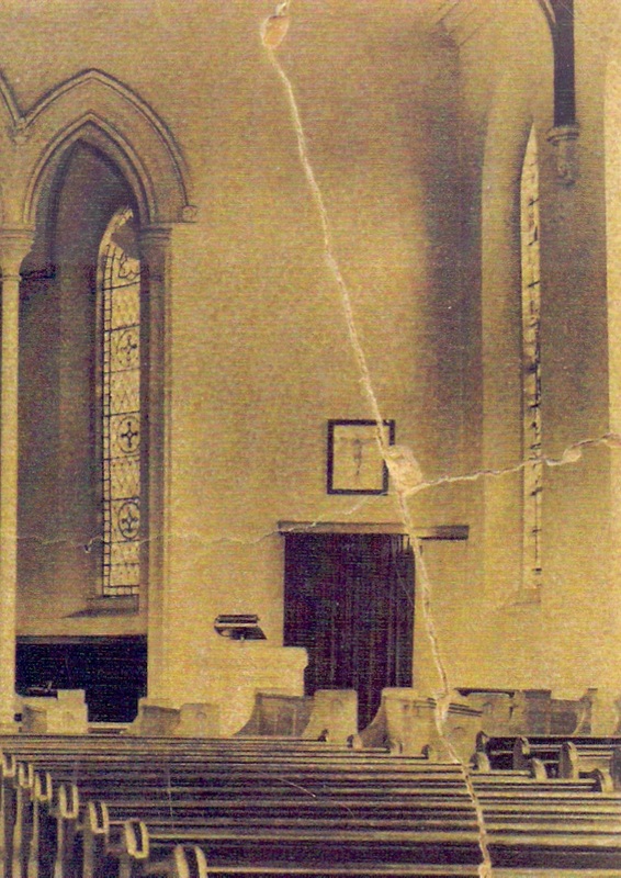
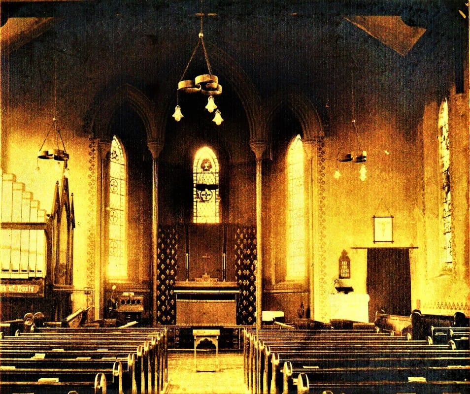
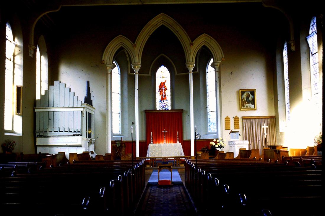
Ansley Chapel - (Tom Burgoyne Collection courtesy of Ian Burgoyne)

​Ansley Hall

Picture
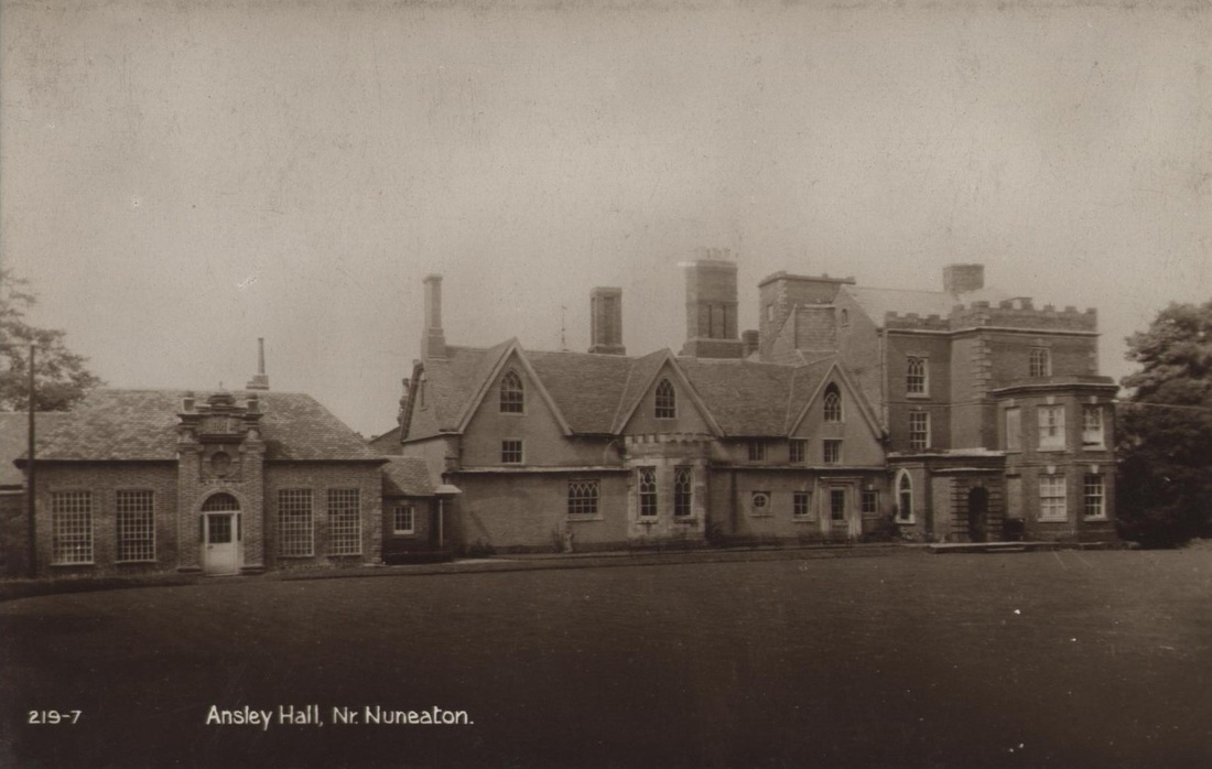
Ansley Hall (Alan Cook Collection)
Picture
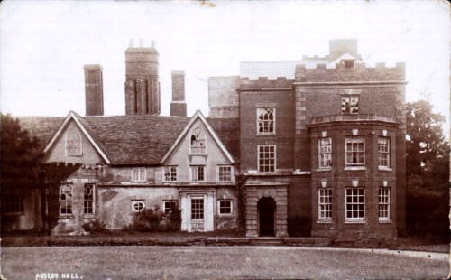
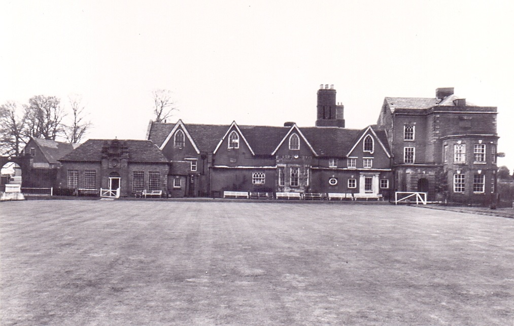
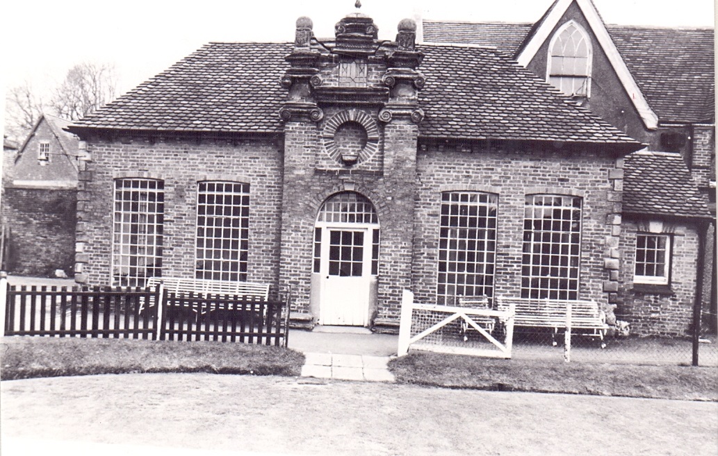
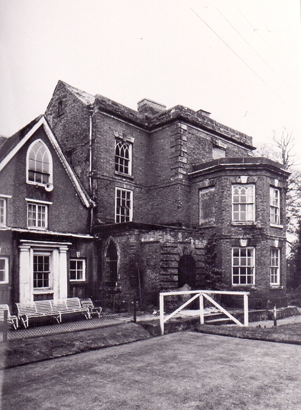
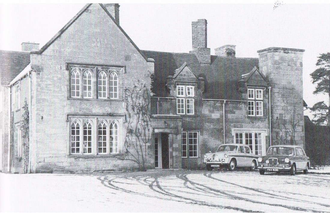
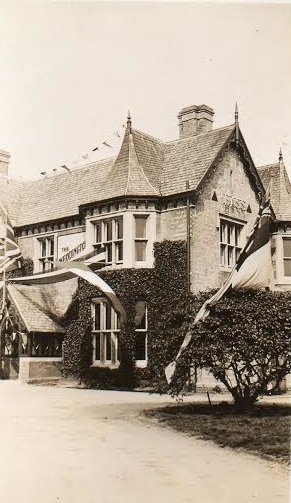
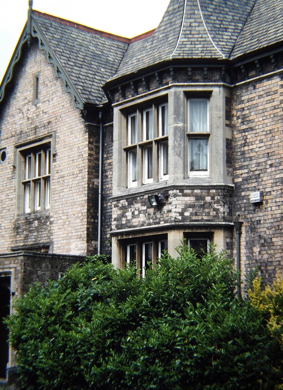
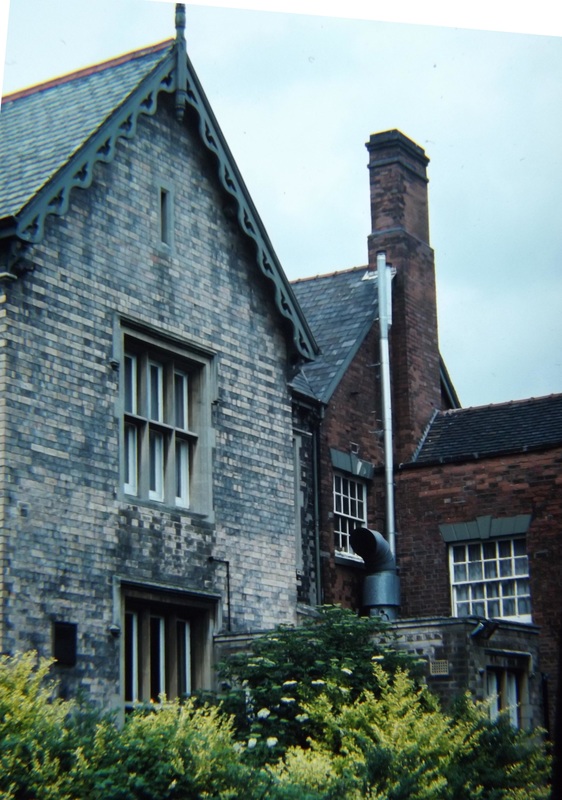
Ansley Hall (Old section of the hall on the left. "New" addition to the right.)
Picture
Picture
Picture
Picture
Picture
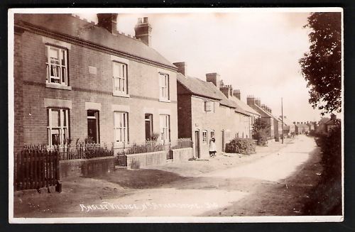
Ansley Village c. 1900.
Picture
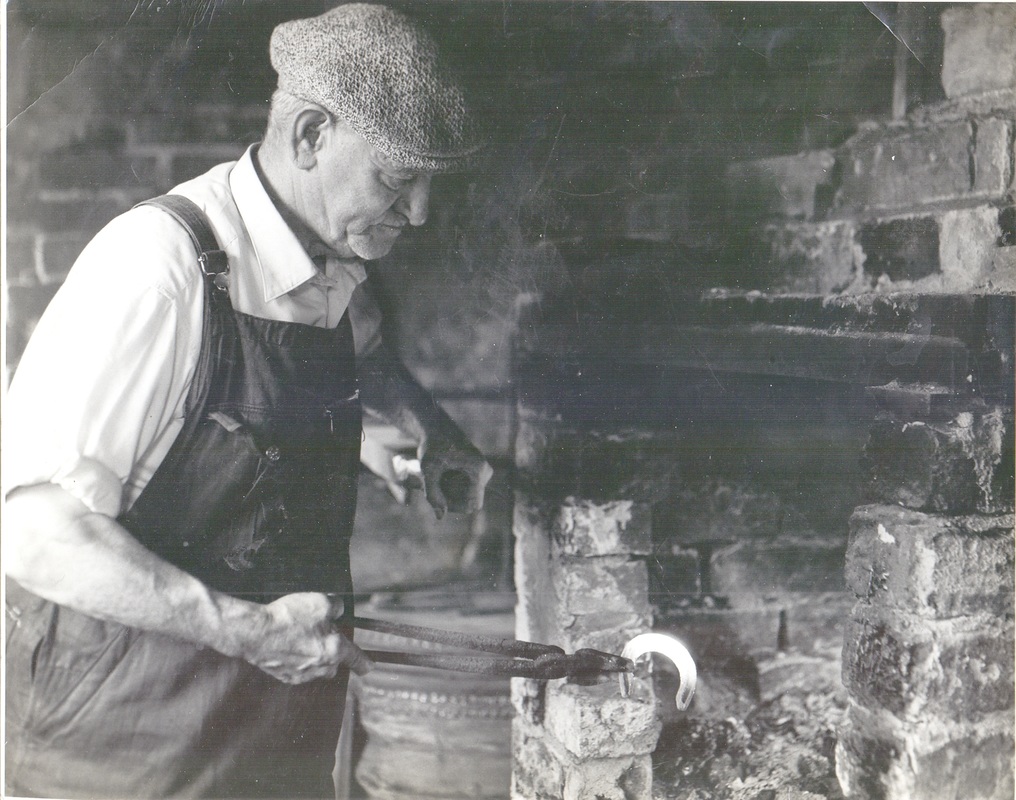
Blacksmith Goode of Ansley Village.

Arley

Picture
Picture
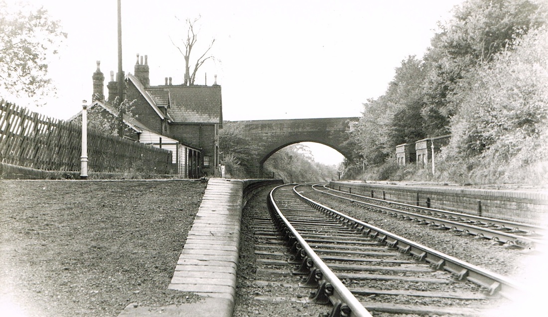
Arley & Fillongley Railway Station looking towards Whitacre Junction. (Geoff Edmands)

Astley

Picture
Picture
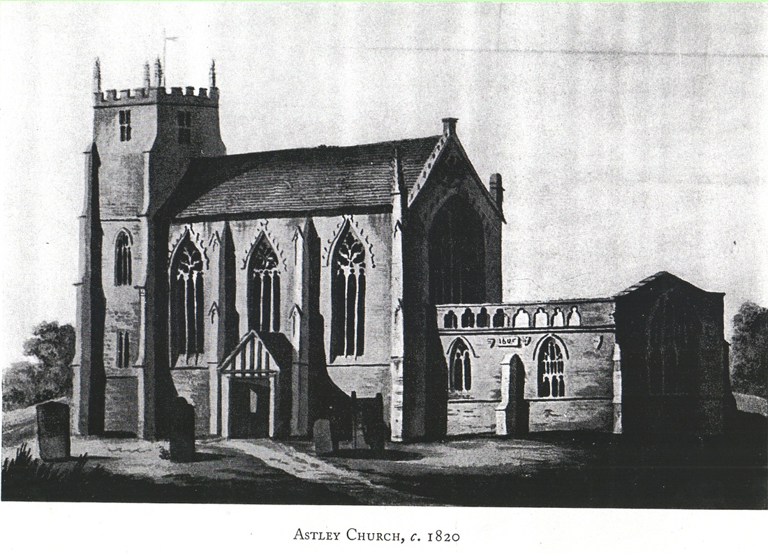
Astley Castle 1820. (From the Aylesford Collection)
Picture
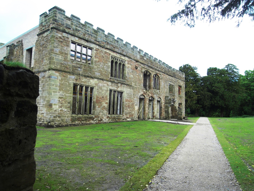
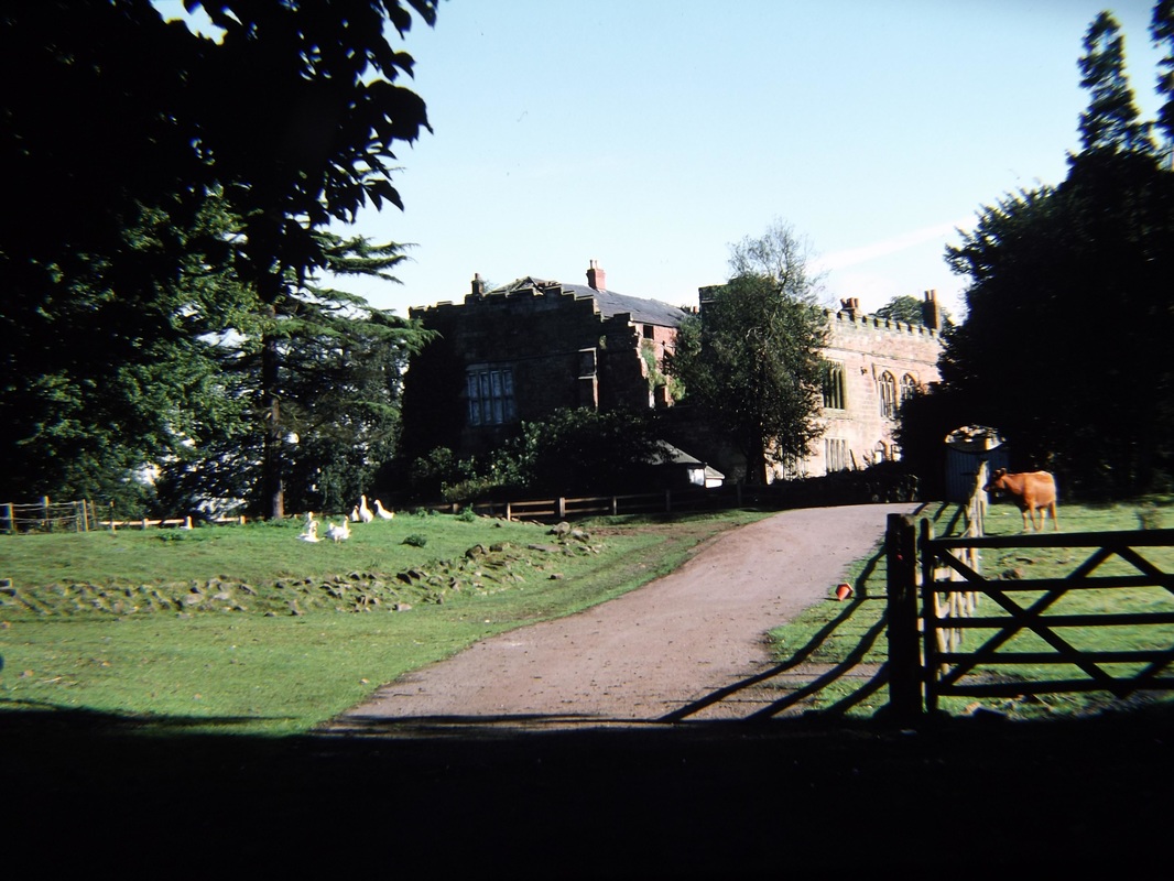
Astley Castle Today. (Peter Lee)
Picture
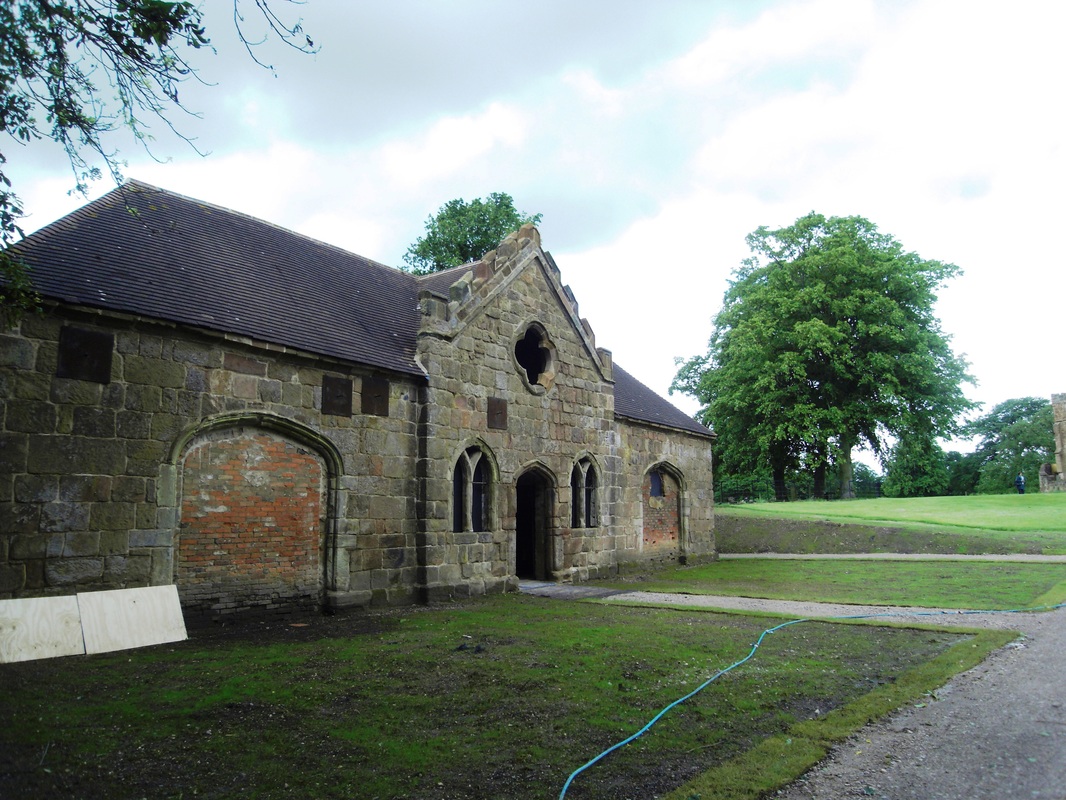
Astley Castle stables. (Peter Lee)
Picture
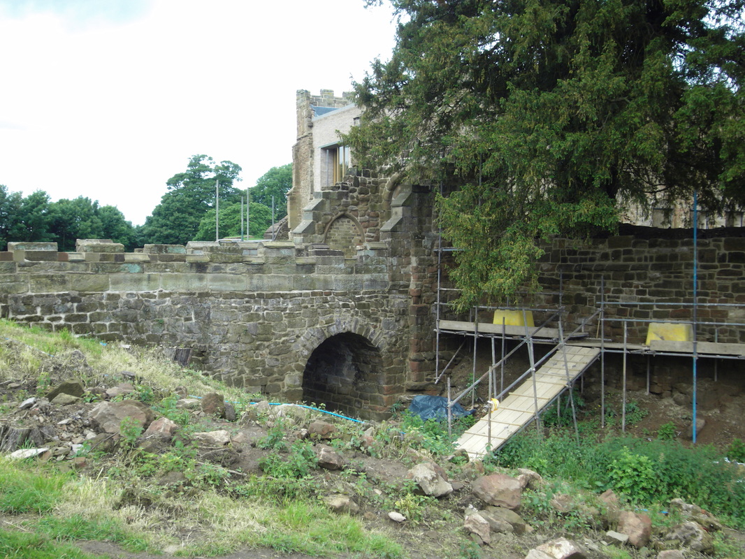
Astley Castle Moat and main entrance gateway. (Peter Lee)
Picture
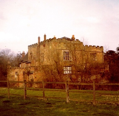
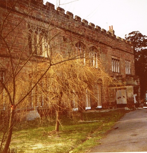
Astley Castle c. 1990 (Peter Lee)
Picture
Astley Castle in the 1980's. (Peter Lee)
Picture
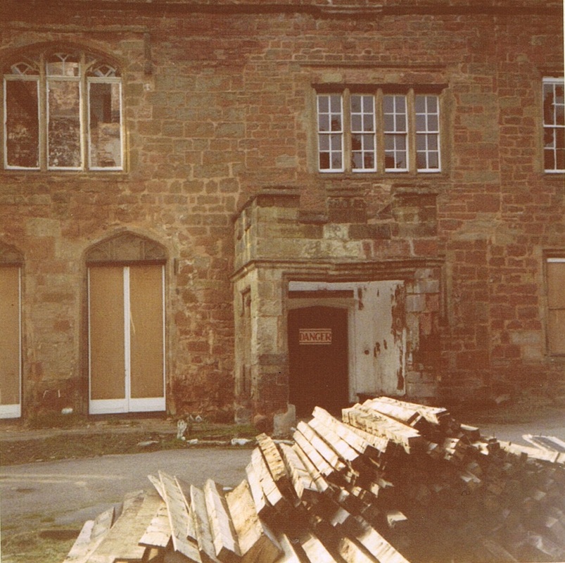
Astley Castle front entrance in the 1980's. (Peter Lee)
Picture
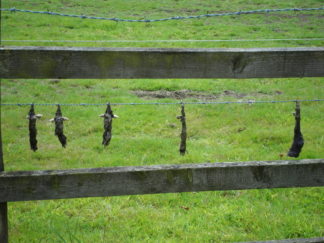
Strange practices with deceased vermin at Astley. (Peter Lee)
Picture
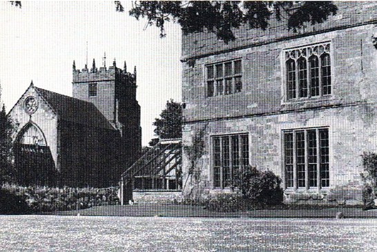
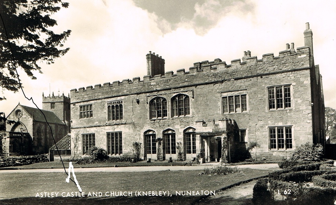
Astley Castle & Church in the first half of the twentieth century. Today the restored castle and church are in fine juxtaposition.
Picture
Picture
Picture
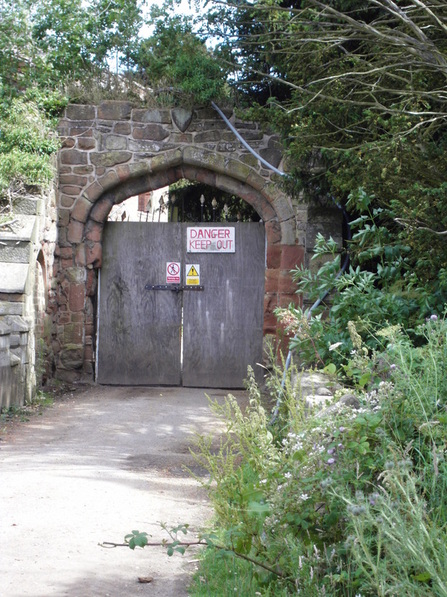
Astley Gateway before restoration in the 1990's. (Peter Lee)
Picture
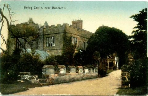
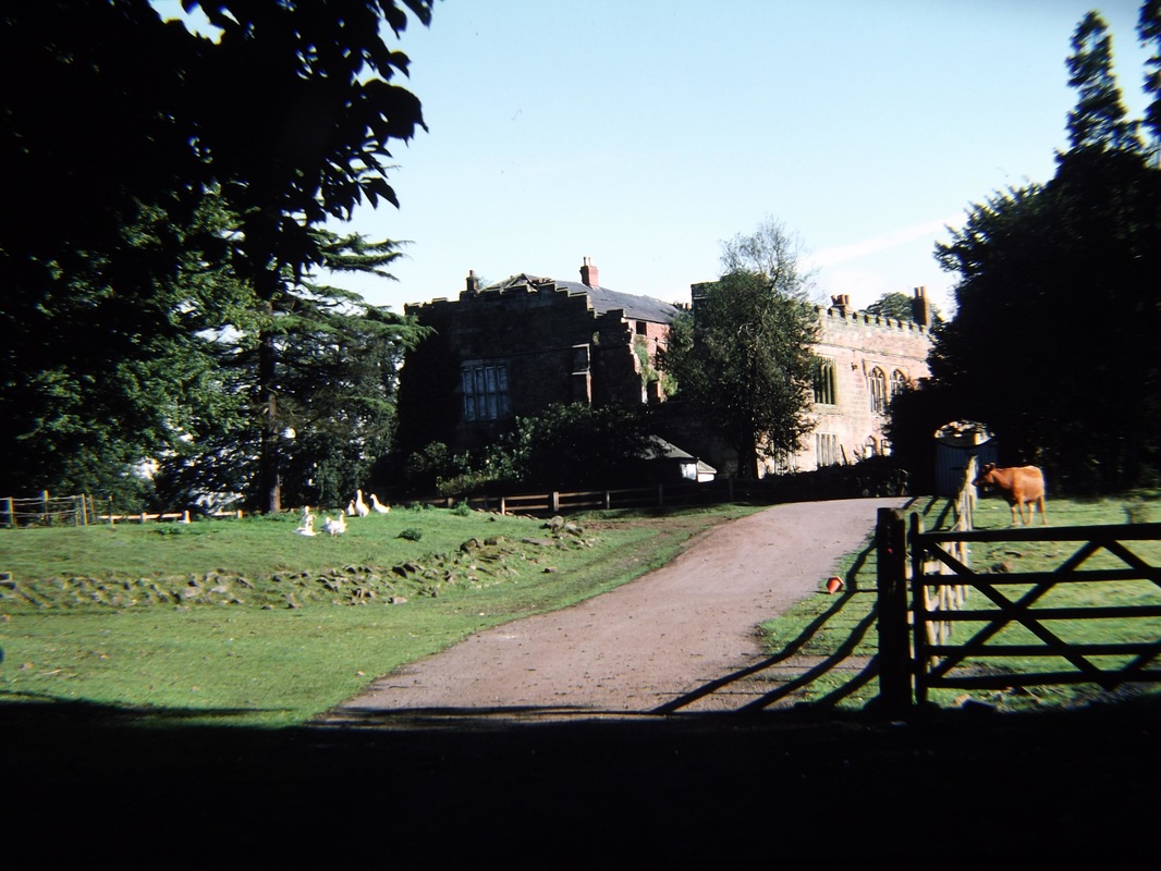
The approach road to Astley Castle. (Alan Cook)
Picture
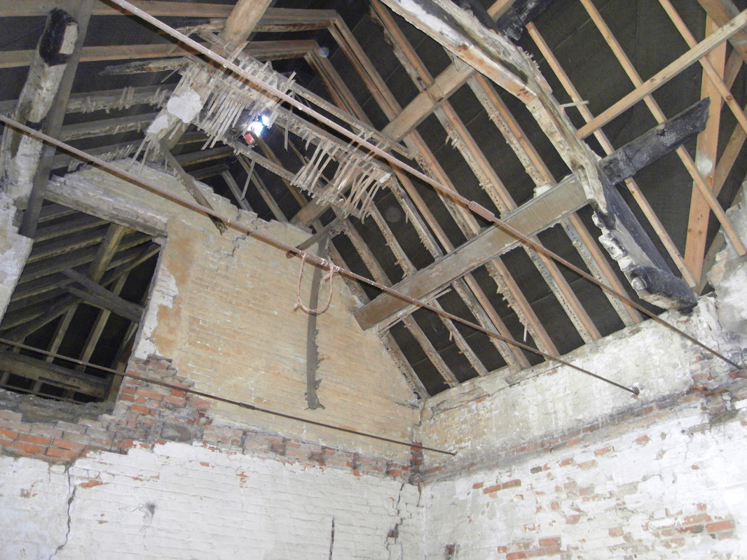
Inside the roof of Astley stables. (Peter Lee)
Picture
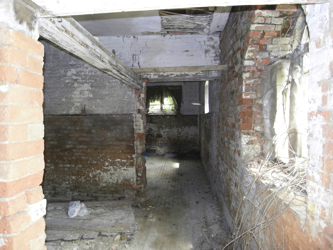
Interior of the derelict Astley stable block. (Peter Lee)
Picture
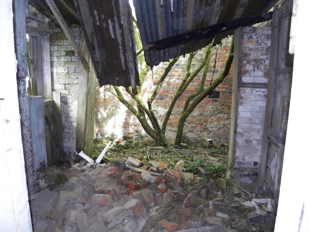
The caved in roof of the Astley stable block with a sapling growing in a courtyard. (Peter Lee)
Picture
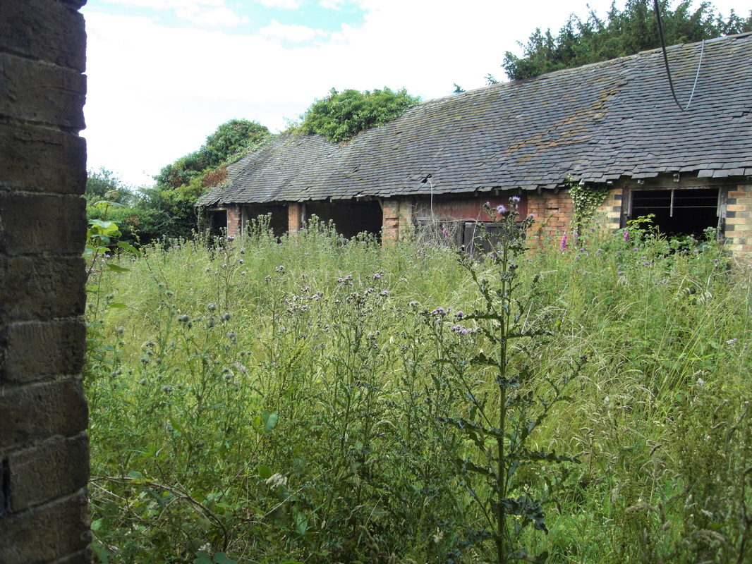
Astley outbuildings. (Peter Lee)
Picture
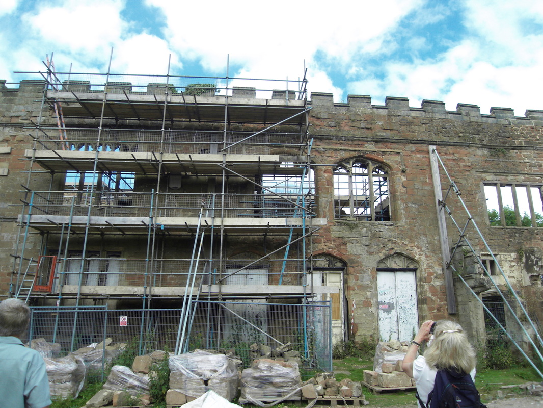
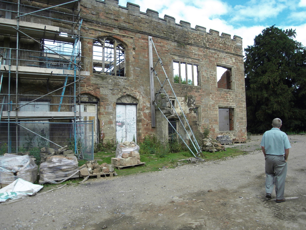
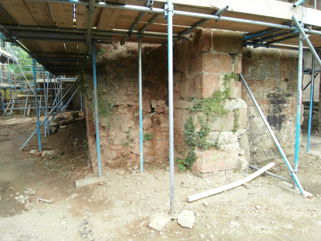
Views of the temporary propping and scaffolding to Astley Castle as it is readied for reconstruction. (Peter Lee)
Picture
Further inspection of the external envelope with palletts of recovered stone work. (Peter Lee)
Picture
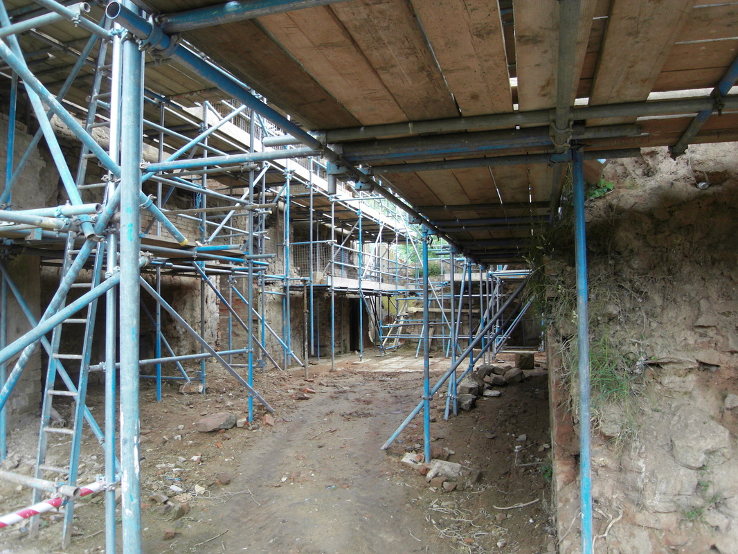
The scaffolded interior. (Peter Lee)
Picture
The scaffolded interior. (Peter Lee)
Picture
At the rear of the scaffolded castle. (Peter Lee)
Picture
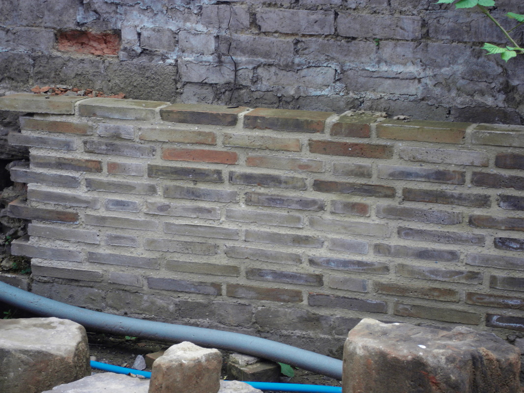
Sample of the proposed brickwork at Astley. (Peter Lee)
Picture
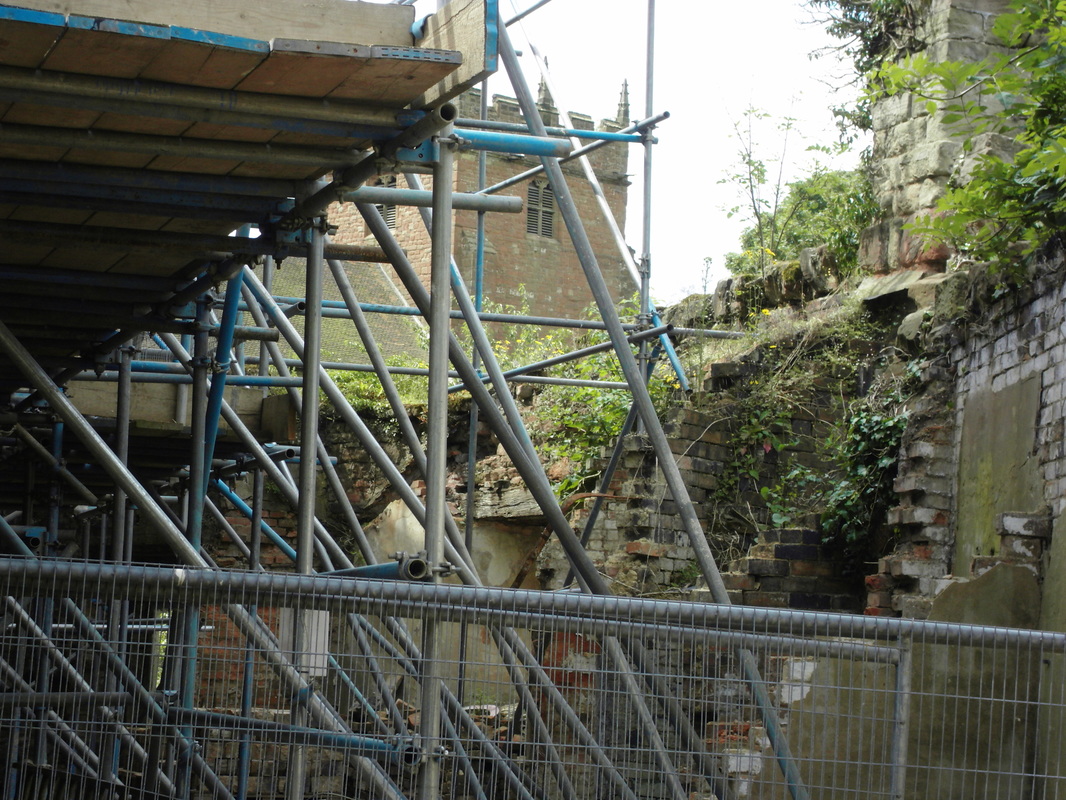
An exterior view shoring an external wall. The church can be seen. (Peter Lee)
Picture
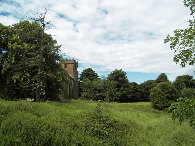
A different view of Astley Church. (Peter Lee)
Picture
The lane up to Astley Castle before the disastrous fire in the 1970's. (Alan Cook)
Picture
Astley Post Office
Picture
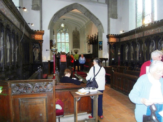
The interior of Astley Church during a visit by the Nuneaton Local History Group recently. The church has been beautifully restored in recent years. (Peter Lee)
Picture
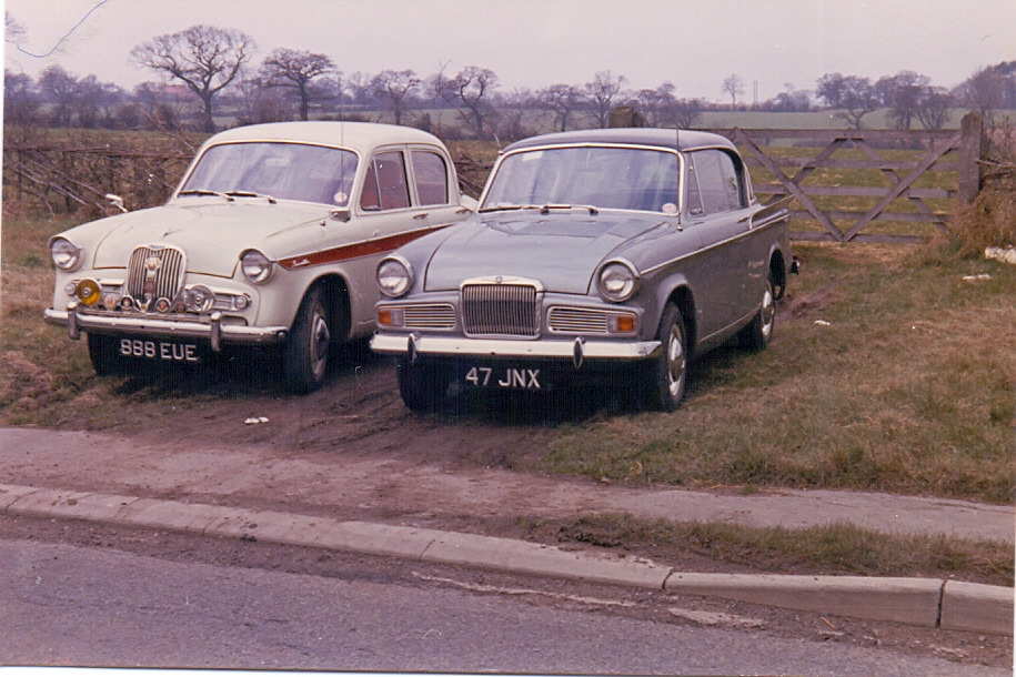
A brace of Sunbeam period pieces in concourse condition in Astley Lane. 5th April 1964. Geoff Edmands 1963 Singer Gazelle and Cyril Bull's 1964 Sunbeam Rapier. (Geoff Edmands 1/50:F.8 Nr. 2582)

Attleborough (formerly a hamlet of Nuneaton)

Picture
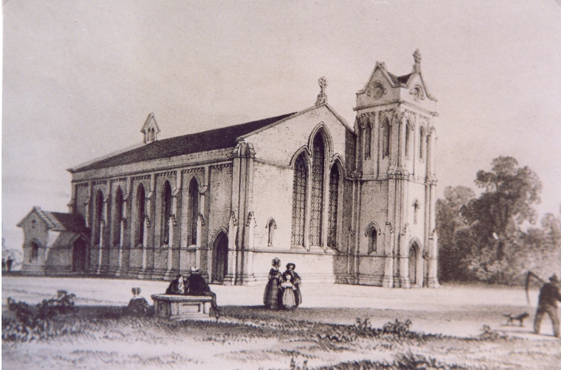
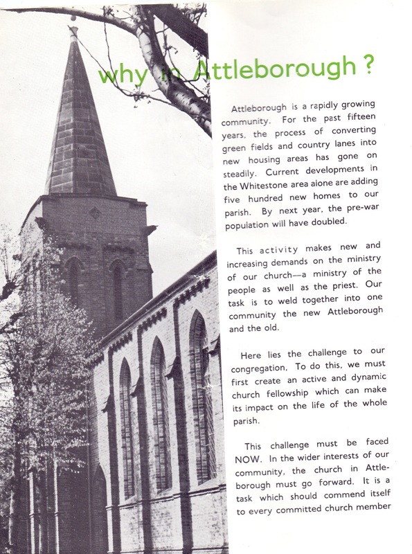
Original architects drawings of Attleborough church as it was designed by Thomas Larkins Walker, although it seems to have differed when built. A spire was inserted on the tower and I am not sure if the porch on the left hand side was applied. The church opened in 1842 at a cost of £3000 to build.
Picture
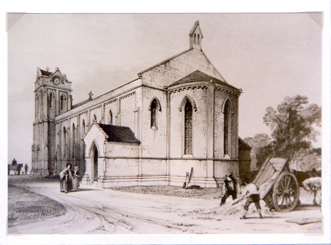
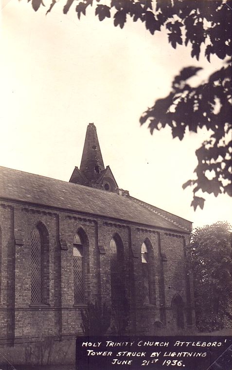
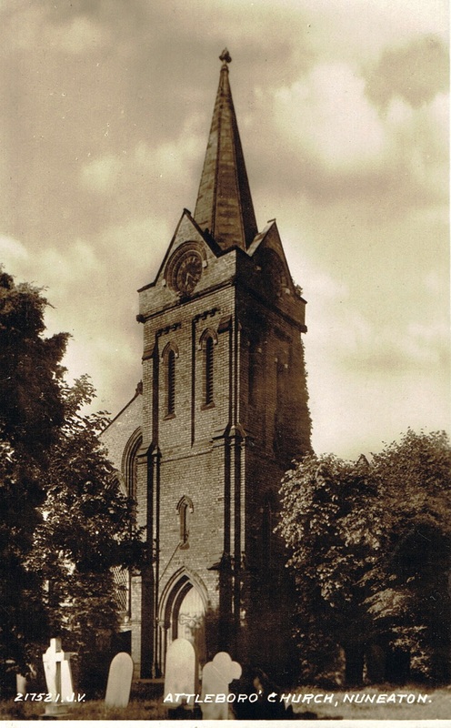
Attleborough church - as built. (Nancy Bradley)
Picture
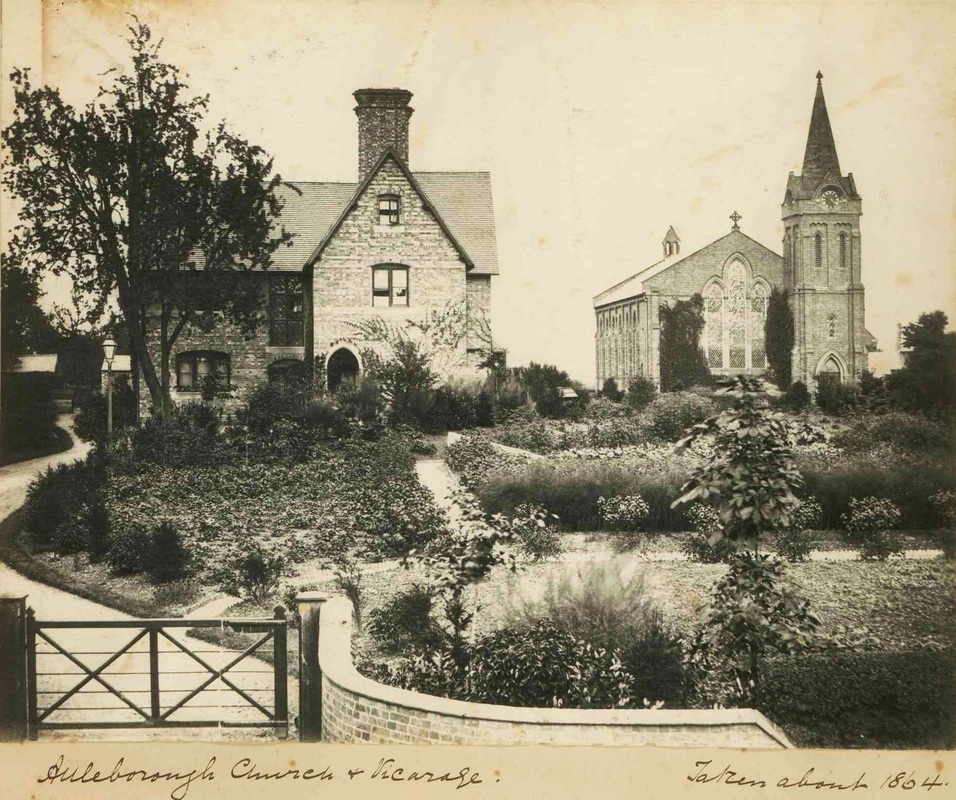
Attleborough Church and Vicarage c. 1864 (copyright Jan Brock)
Picture
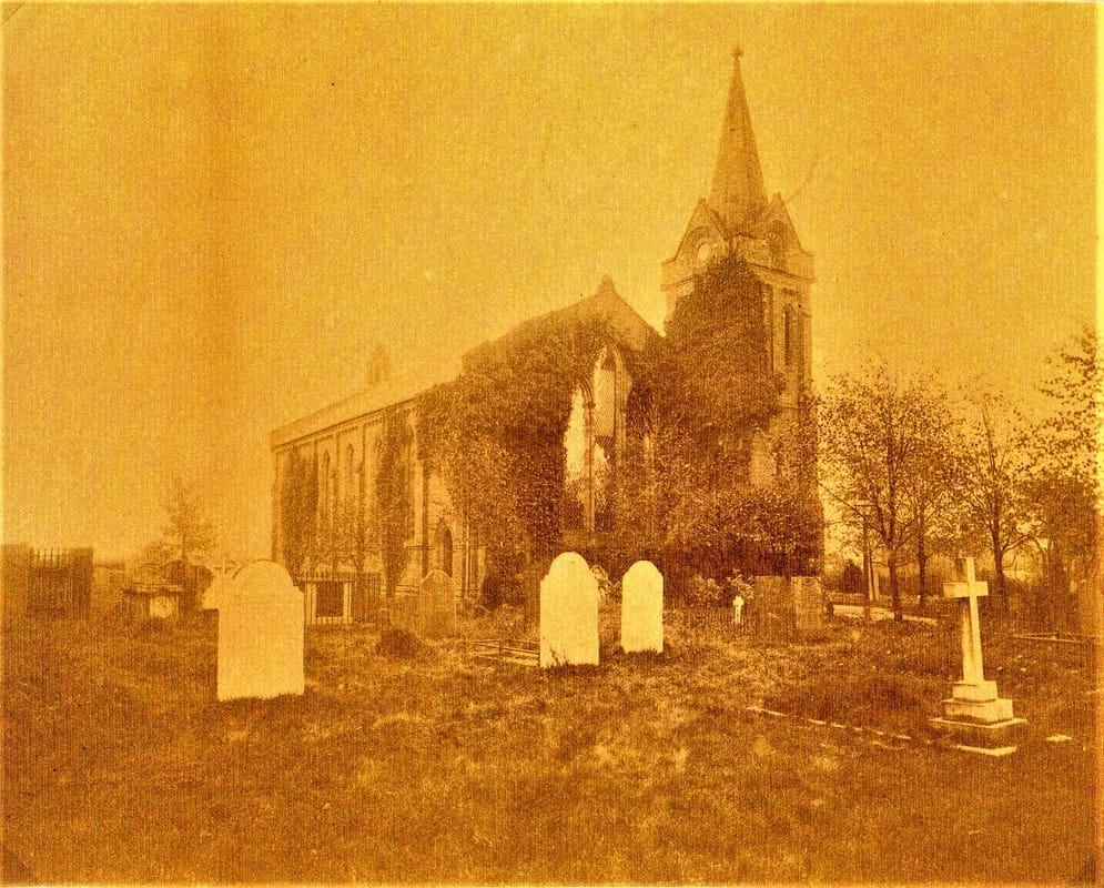
Attleborough Church before 1900. (Nancy Bradley)
Picture
(Courtesy Stephanie Southall)
Picture
(Courtesy Nancy Bradley)
Picture
Picture
Picture
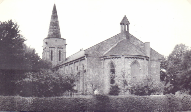
Attleborough Church in the 60's. (Roger Fifield)
Picture
Picture
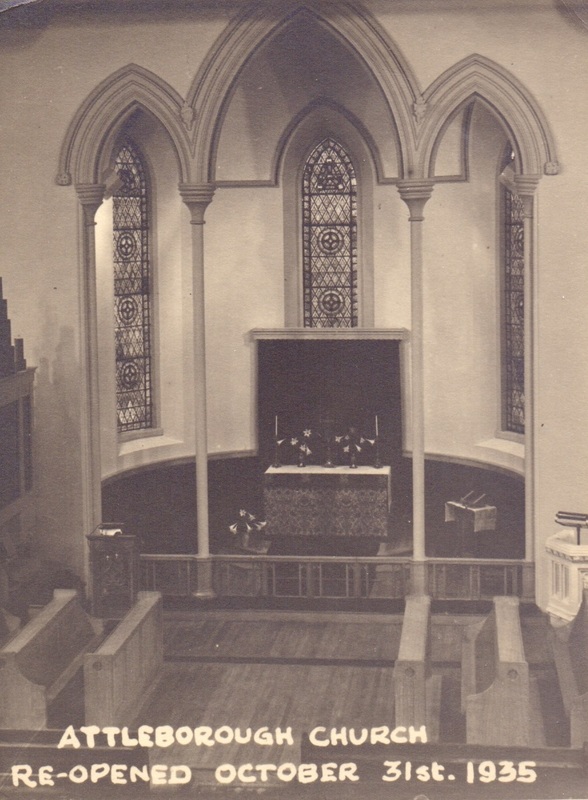
An Attleborough church interior (date unknown). (Nancy Bradley)
Picture
Attleborough church as it looked after its re-decoration by Rev. Fifield (Roger Fifield)
Picture
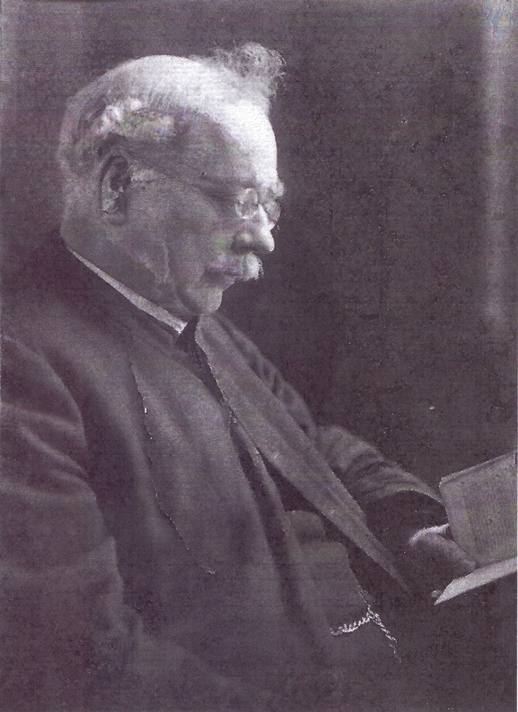
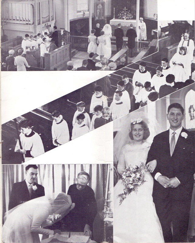
An Attleborough vicar, not sure which one at present.
Picture
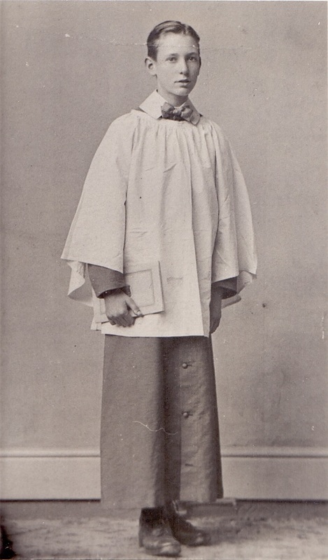
An Attleborough choir boy.
Picture
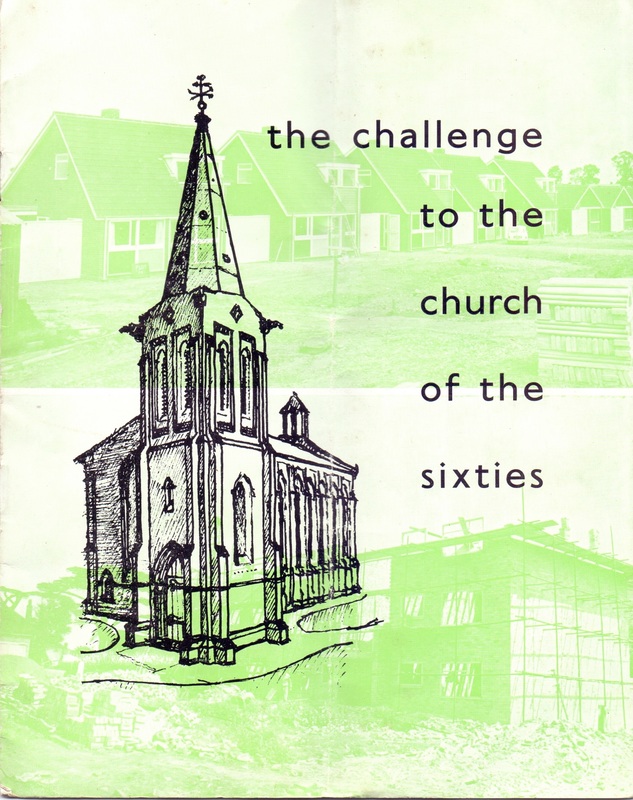
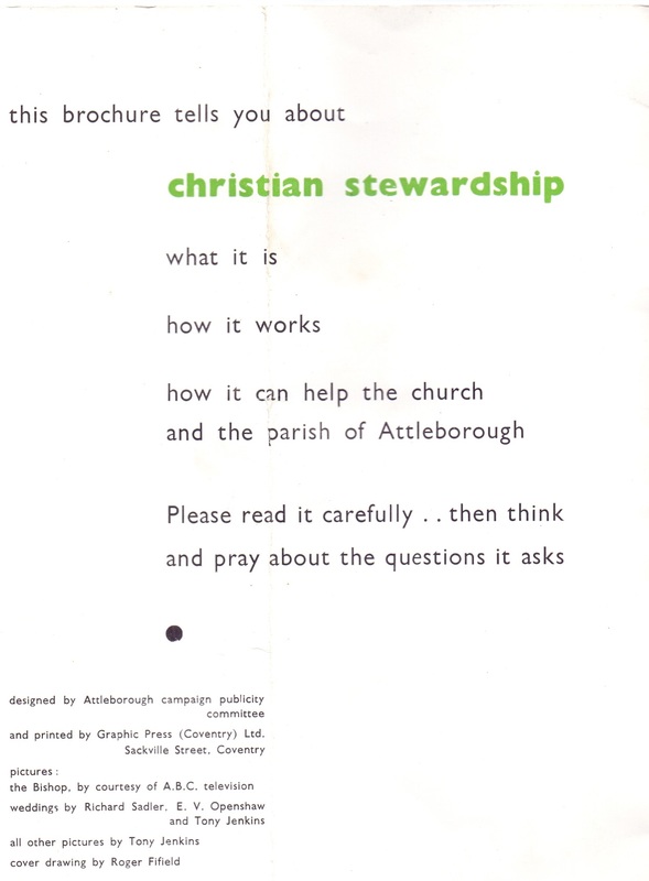
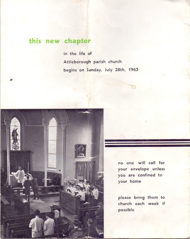
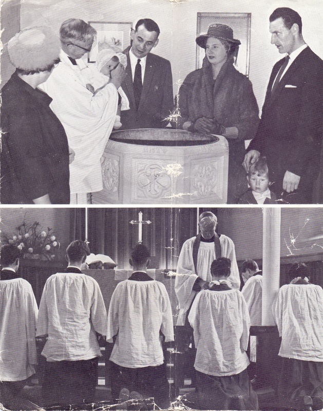
(This Leaflet is from the Stephanie Southall collection)
Picture
Picture
Picture
Picture
Picture
Picture

A tour of the village:

Picture
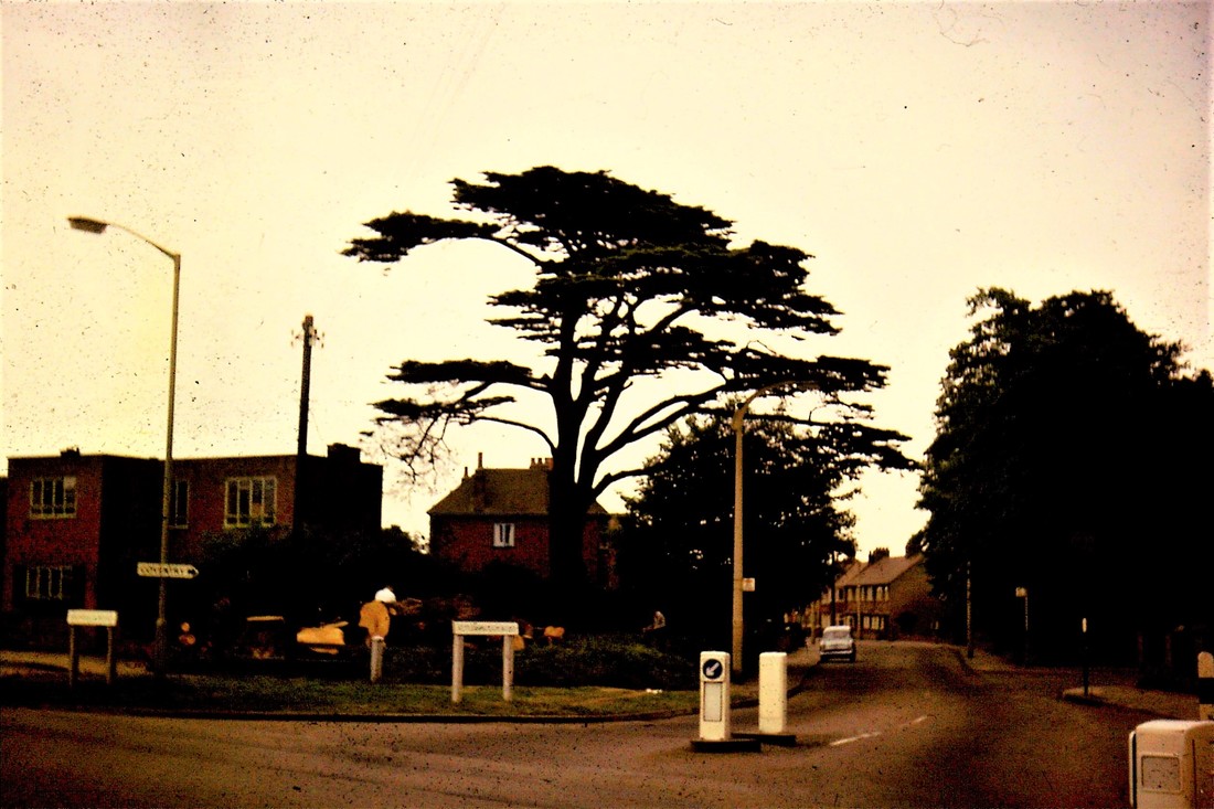
A famous tree provided a welcome to the village of Attleborough on the corner of Attleborough Road and Highfield Road. This once stood in the lovely park of Attleborough Hall. (Roger Fifield)

The Green (formerly the Square and the Green)
Picture
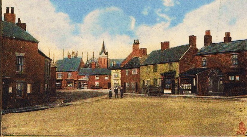
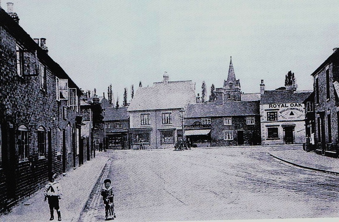
A heavily tinted photograph to depict Attleborough Green & Square about 1900. (Jean Lapworth Collection)
Picture
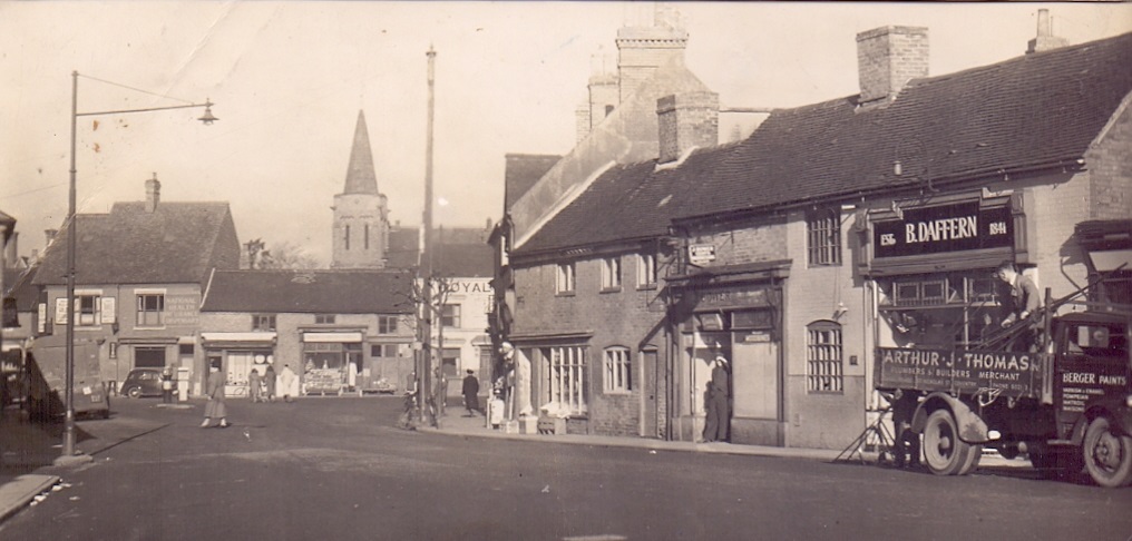
Attleborough Square in the early 1900's. The Fox Inn on the left (with wooden board attached to the front) and the Royal Oak which opened as a pub in 1830. The Fox was older and for many years was only a beer house not licensed to sell wines and spirits. The road off to the left was Bull Street leading towards the Bull Inn, Attleborough's principal hostelry which dates back to the 18th century. (Lee Family Collection)
Picture
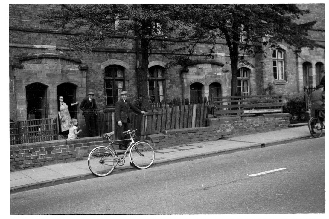
Attleborough Square in the 1940's. (Nancy Bradley Collection)
Picture
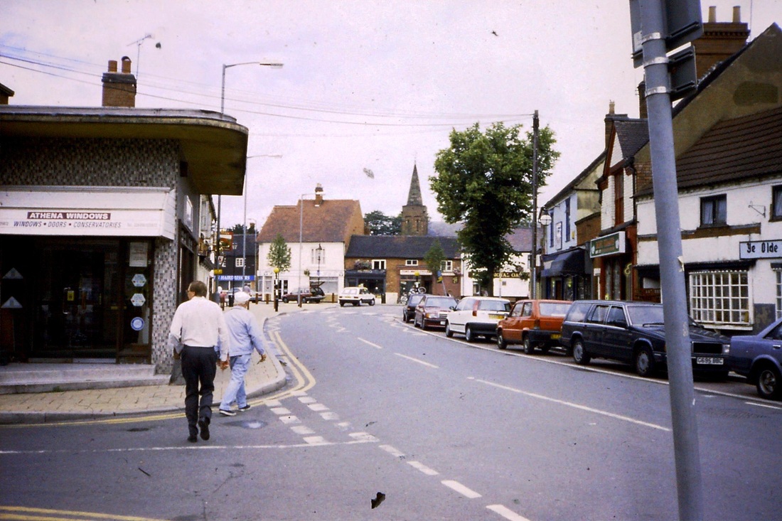
Attleborough Green in the 1990's. The fellow in the picture with the white cap and blue outfit is an old gruff sea captain - Peter Richardson - who inhabited the pubs hereabouts. He has sadly passed on but he was a real character not least for the fact he captained merchant ships, but lived in Attleborough as far as you could go in any direction from the sea in this country. Maybe after a life on the ocean he felt Attleborough was comforting so far away from the raging sea. When he died he was buried at sea. Off the Isle of Wight I am reliably informed (Peter Lee)
Picture
This old shop stood on the corner of Attleborough Square and Bull Street to the left. The dairy business of John & Jessie Saunders who came there between 1901 & 1911. (Gill Heatley, nee Saunders)
Picture
Another view of the Saunders family shop, where the Attleborough dance studio is today. (Gill Heatley)
Picture
Another view of the Saunders family shop. (Gill Heatley)
Picture
A rear view of the Saunders shop on Attleborough Green. (Gill Heatley)
Picture
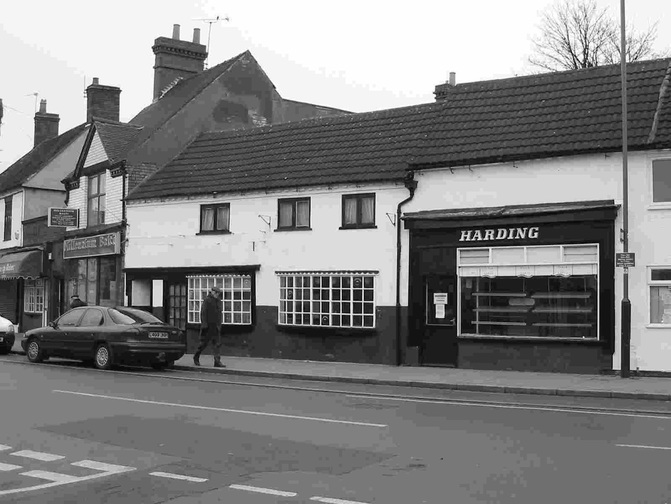
Hardings bakers and confectionary shop on Attleborough Green. Unfortunately the building collapsed. The heavy concrete tiles on the roof caused the worm ridden roof joists to give way and the entire shop fell down. The site is now boarded up.
Picture
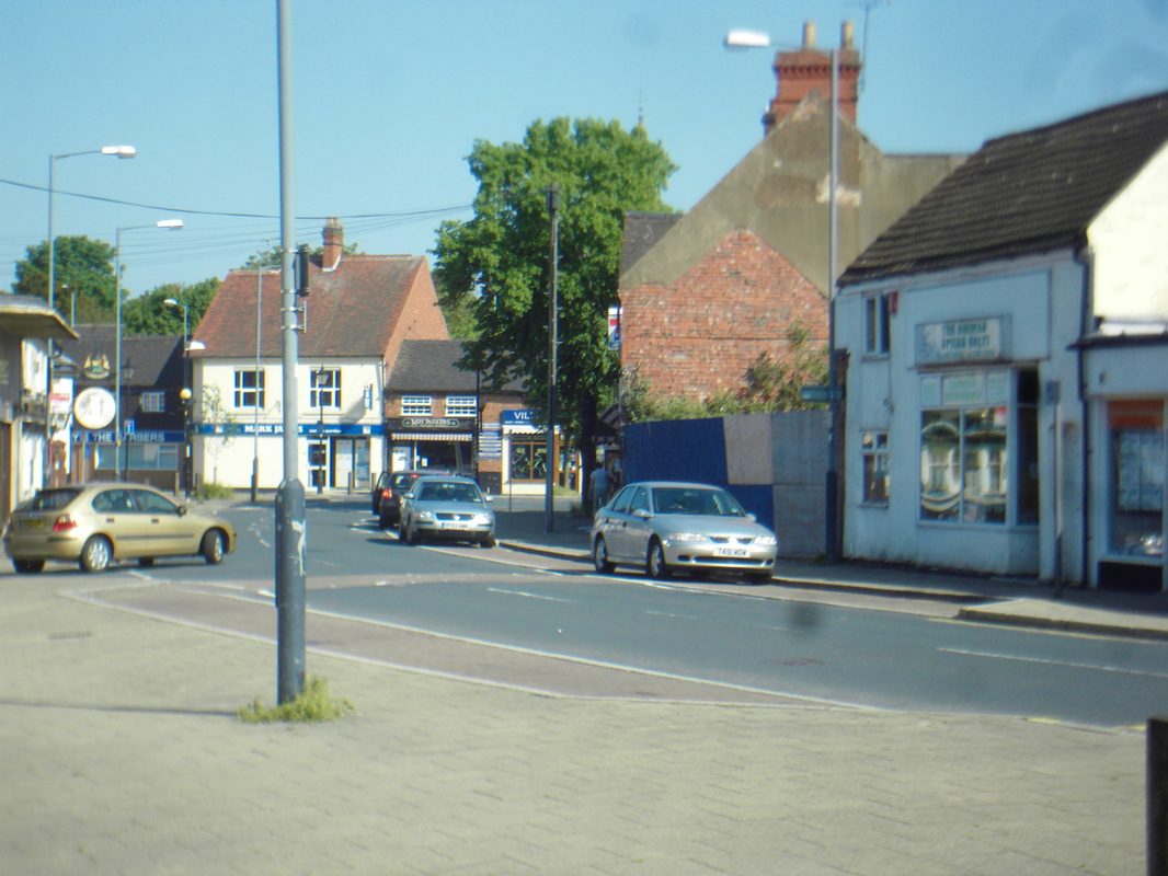
Attleborough Green in 2011 note Harding's shop has disappeared. It fell down collapsed under the weight of very heavy concrete roof tiles on perished roof timbers. (Peter Lee)
Picture
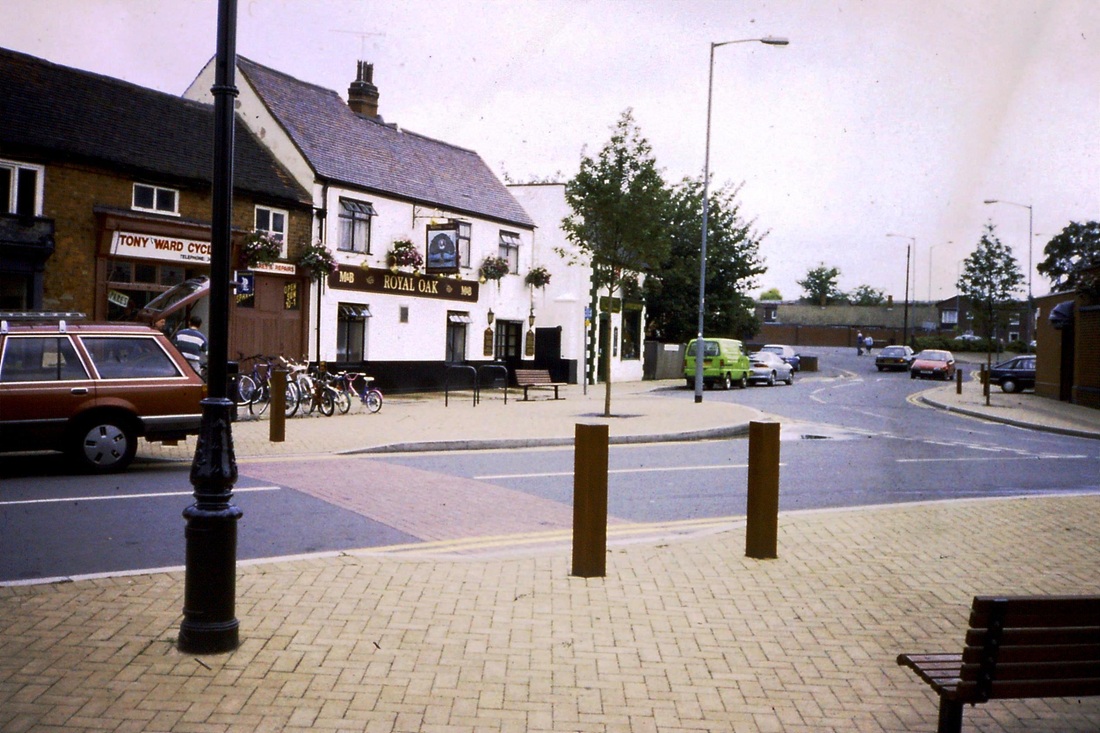
The Royal Oak in the 1990's. The 1830 beer house. Still going strong.
Picture
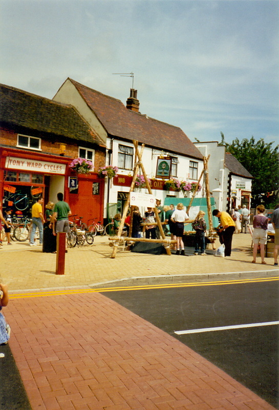
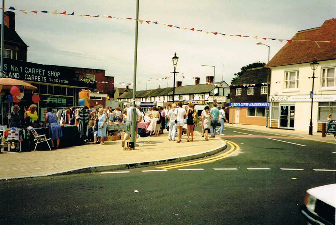
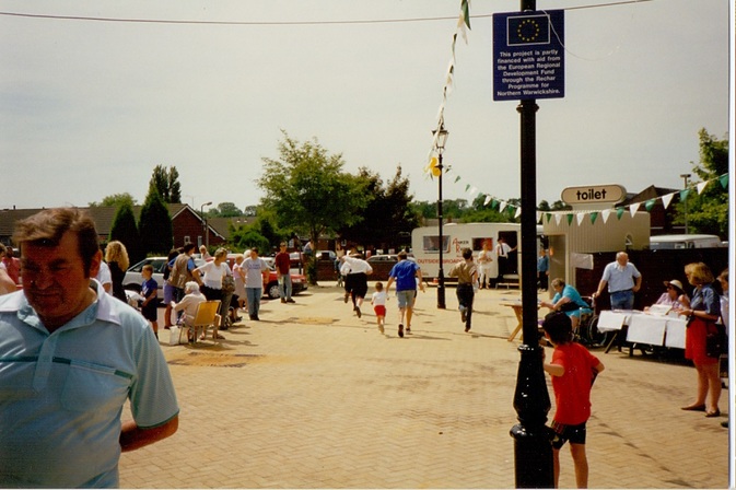
The Royal Oak in 1994, Attleborough Carnival. (Peter Lee)
Picture
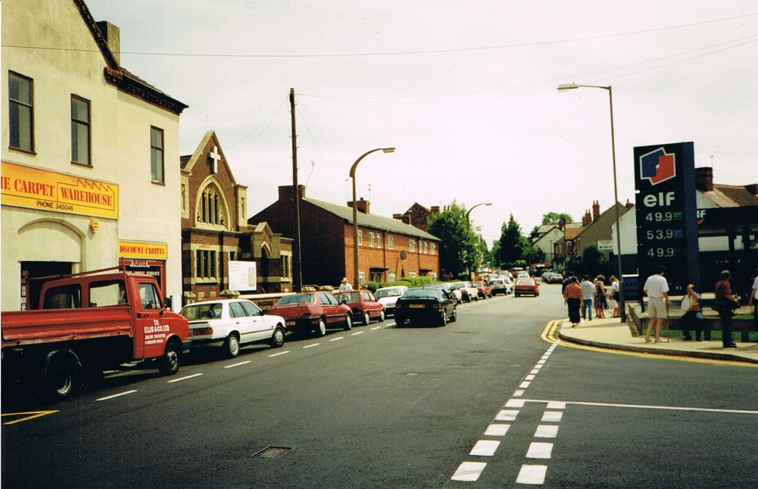
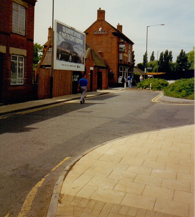
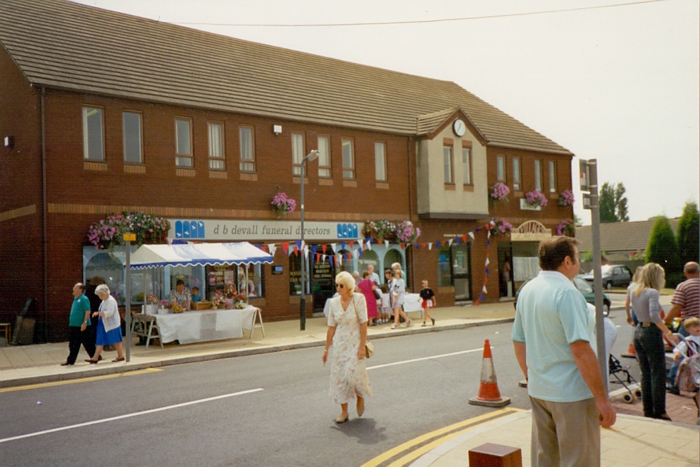
Attleborough in 1994. we are looking from the Green towards Lutterworth Road. Do you remember the garage which stood where Devall's undertakers is now. When petrol was 49.9pence a litre.? (Peter Lee)
Picture
Attleborough village carnival 1994. Bull Street from the Square. (Peter Lee)
Picture
An earlier view of Bull Street, Attleborough in the 1950's. (Reg. Bull)
Picture
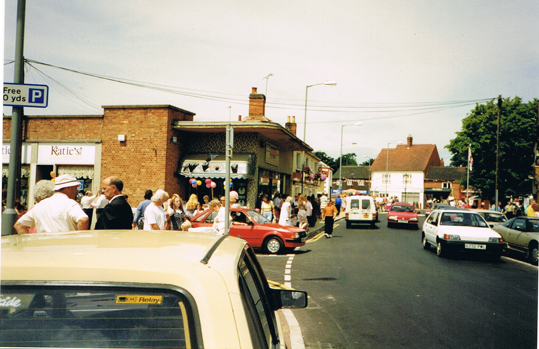
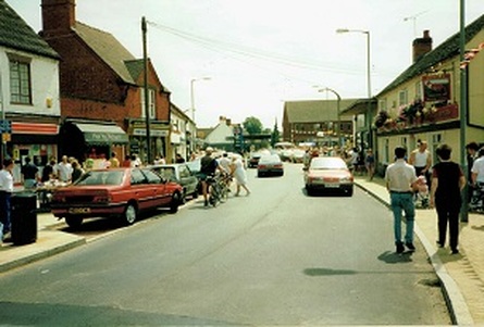
Attleborough village carnival 1994. The Green looking towards the Square. George Street on the left. It was a great day out. (Peter Lee)
Picture
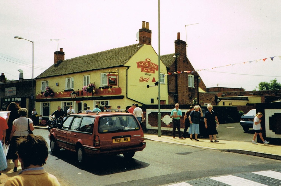
Attleborough Square looking towards the Green. The Fox on the right. 1994 (Peter Lee)
Picture
The Fox, Attleborough. 1994.
Picture
Attleborough Green. Carnival Day 1994. (Peter Lee)
Picture
Attleborough - Bull Street, 1994. The Bull Inn in the centre. (Peter Lee)
Picture
Attleborough - Freer Street, 1994. (Peter Lee)
Picture
Attleborough - Kem Street. 1994 (Peter Lee)
Picture
The end of Attleborough Road 2011. (Peter Lee)
Picture
The former manager's house that stood in front of Lister's Mill in the 60's before demolition. In later years it was a doctor's surgery. (Roger Fifield)
Picture
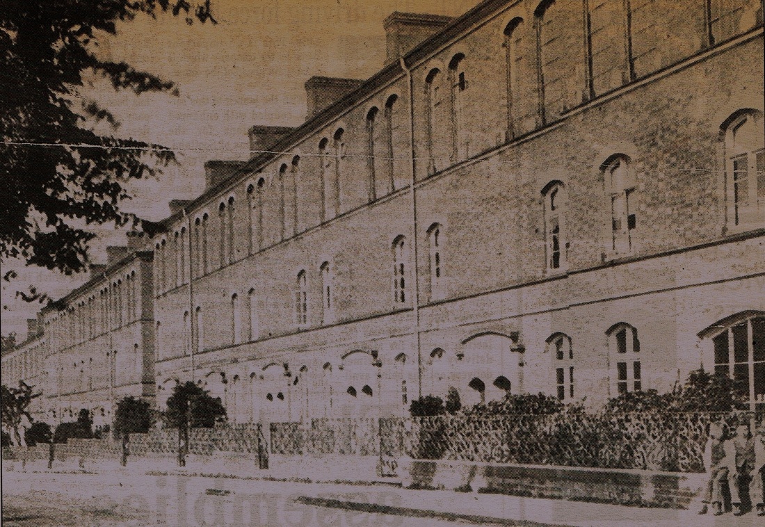
An old photograph of the magnificent edifice that was the Albion buildings in the 19th century.
Picture
Picture
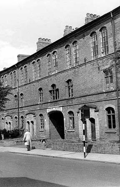
The Albion Buildings in the 1950's.
Picture
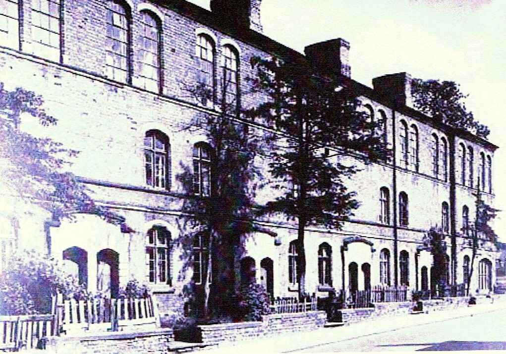
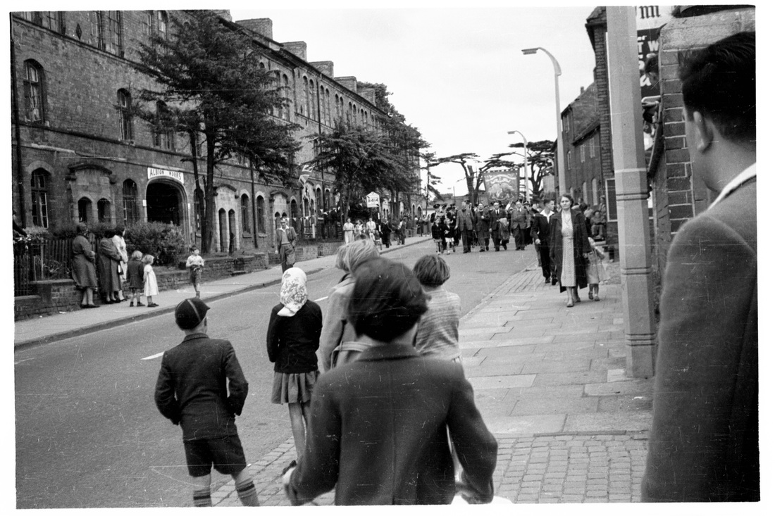
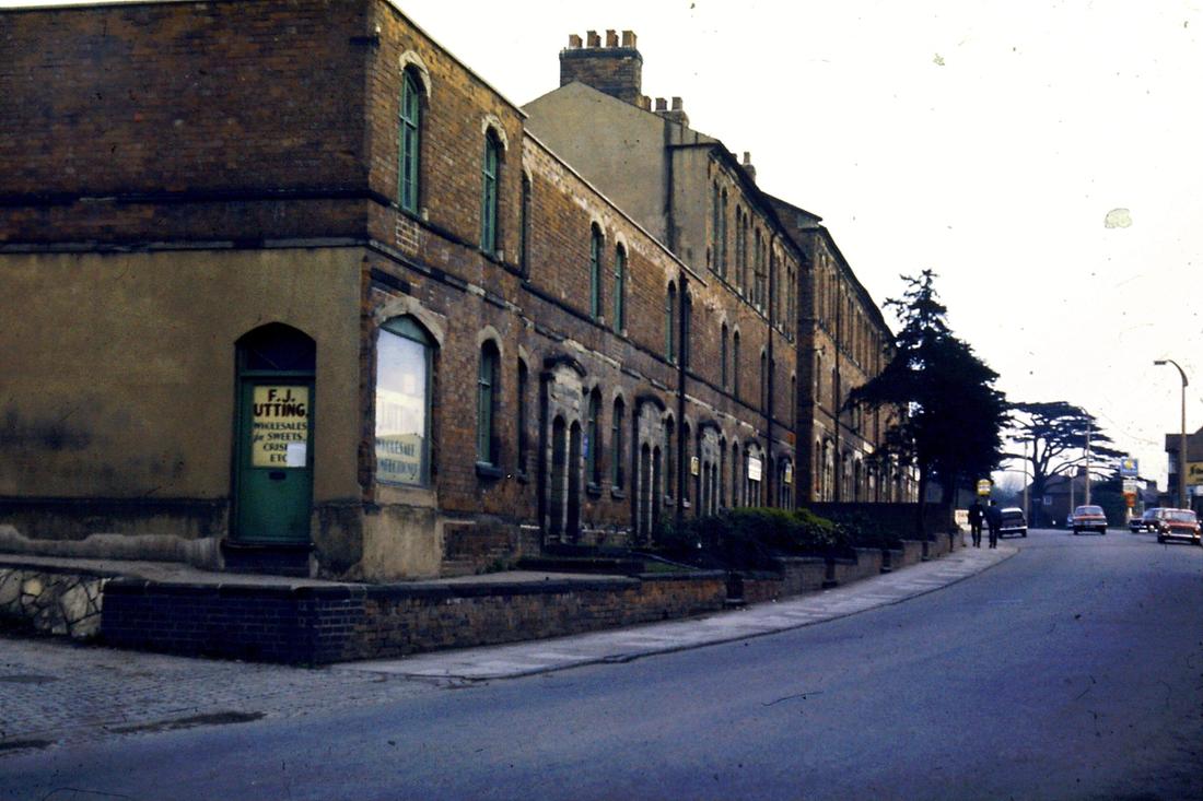
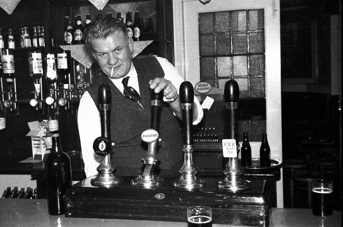
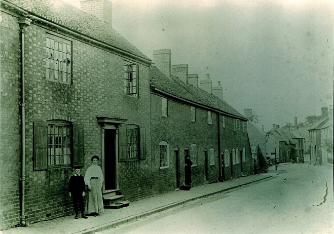
Residents of the Albion Buildings, Attleborough Road. in the parish of Attleborough. This block of tenements and top shops was built in the 1840's to house ribbon weavers who could hook their looms up to a rotating armature that threaded the whole of the top of the building and was powered by a steam engine. It was an early form of mechanisation designed to speed up the silk manufacturing process which was a staple trade in the Nuneaton, Attleborough and Chilvers Coton parishes at the time. But it was too late as the trade was in serious decline by then, and gradually the top floor was abandoned, although the premises did remain used for silk manufacturing until the end of the 19th century at least. The cottages were still used as such until the 1950's as seen here, with their dilapidated fences. Surprisingly for Nuneaton the buildings remain today although the high windowed top floor has been removed. In the 19th century the roadway in this section of the Attleborough Road was known as Albion Street. (E.J.Wiltshire courtesy Colin Yorke)
Picture
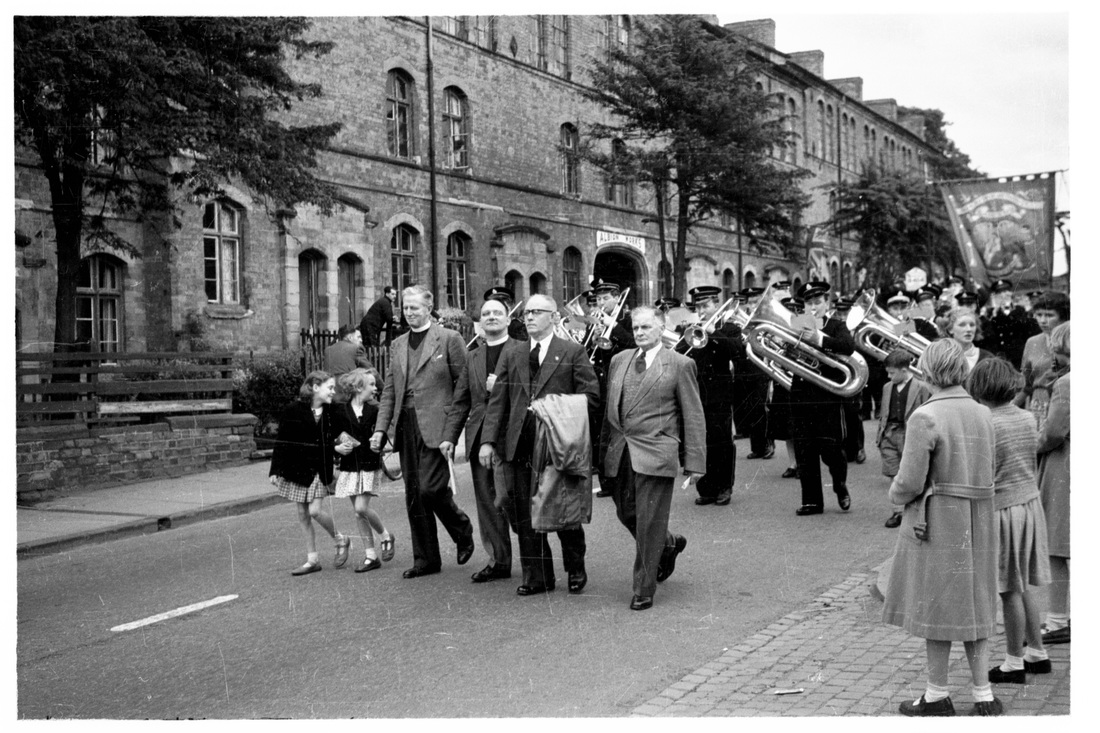
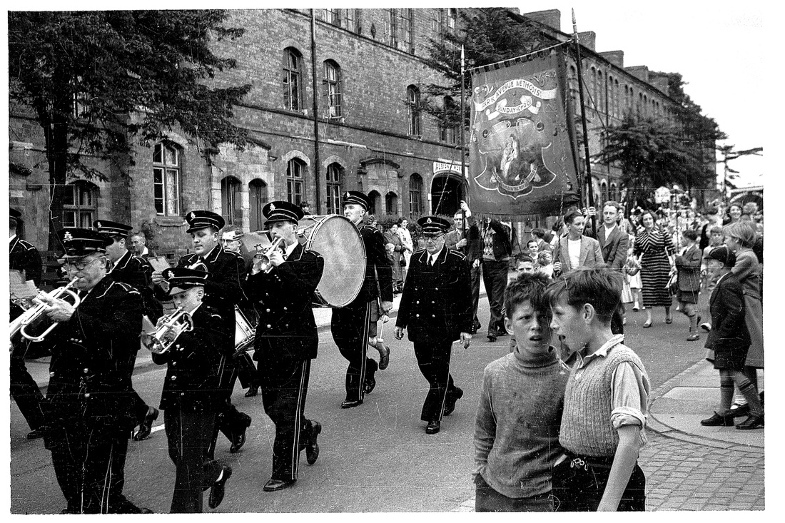
Looking up Attleborough Road as the parade approaches. (E.J.Wiltshire - Colin Yorke Collection)
Picture
Residents of the Albion Buildings. (E.J.Wiltshire - Colin Yorke Collection)
Picture
The head of the procession comes into view with the Rev. W.H.Fifield leading on the left. (E.J.Wilshire, Courtesy Colin Yorke)
Picture
One of the kids in this conversation piece on the left is Arthur Looms. It was such a fine view of the Albion Buildings I had to include it in the Attleborough section. (E.J.Wiltshire courtesy Colin Yorke)
Picture
Picture
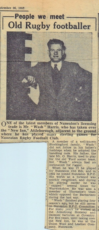
The Rugger Tavern, formerly known as the New Inn, still stands today in Attleborough Road and has been modernised and is a well known eating establishment. For many years its landlord was "Wash" Harris. (E.J.Wiltshire, courtesy Colin Yorke)
Picture
The Albion Buildings in the mid 1960's. (Roger Fifield)
Picture
The rear of the Albion Buildings in the 60's. (Roger Fifield)
Picture
Another view of the Albion Buildings with the main archway through. (Roger Fifield)
Picture
Looking along Attleborough Road with the Albion Buildings on the left. Partial removal of the top floor has already taken place. (Roger Fifield)
Picture
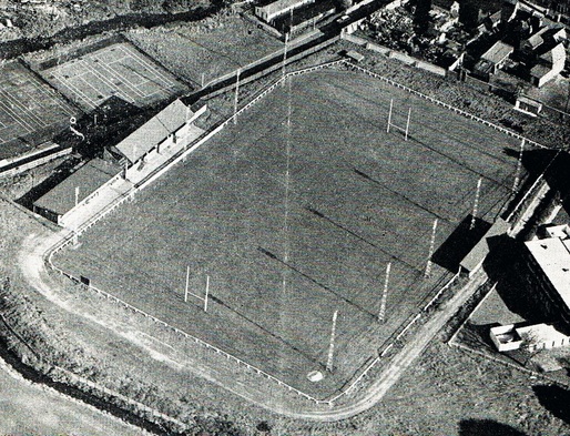
The Harry Cleaver ground of Nuneaton Rugby Club. The Ribbonfields housing estate occupies this site today.
Picture
Wash Harris landlord at the New Inn or as later called "The Rugger Tavern" Wash was the popular landlord there for 27 years between 1952 and 1979. He had been a rugger player in his youth and the Rugger Tavern was the headquarters of Nuneaton Rugby Club. When "Wash" took over the old pub was very run down. (E.J.Wiltshire, courtesy Colin Yorke)
Picture
(Stephanie Southall Collection)
Picture
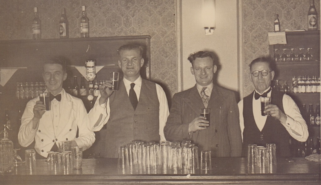
A hearty occasion with Wash Harris left of centre and George Paul on the end right, but can anyone recognise the others. (Stephanie Southall Collection)
Picture
Wash Harris on the right and his groundsmen on the Nuneaton Rugby Ground. (Stephanie Southall Collection)
Picture
Wash with his daughter Stephanie just before the New Inn ground was sold in 1980. (Stephanie Southall Collection)
Picture
Attleborough old timer Mr. Whitmore (first name not currently known) who used to help Wash out by sweeping up and clearing around the pub, in return for a good pint of beer kept in good condition by Wash. Here he is at the back of the Rugger Tavern. (Stephanie Southall Collection)
Picture
Remember the little shop next to the Rugger Tavern? (E.J.Wiltshire-Colin Yorke Collection)
Picture
The Albion Buildings 1988. (Alan Cook)
Picture
Albion Buildings today (Peter Lee)

Attleborough Hall

Picture
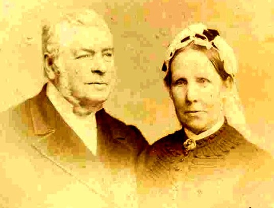
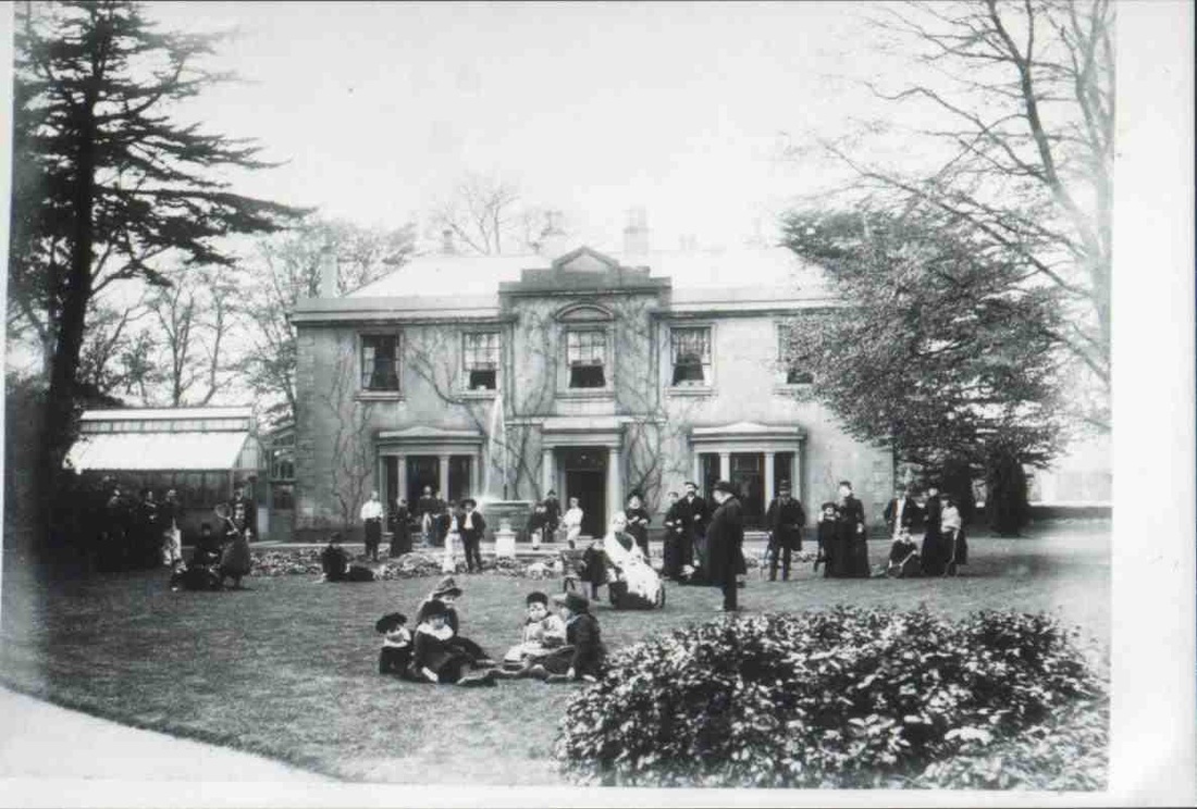
Attleborough Hall, May 10th 1885. A party on the lawn to celebrate the 50th wedding anniversary of Thomas Townsend (1812-1892) and his wife Sarah (nee Walker) (1815-1900). The celebratory couple are surrounded by their extended family. (Jan Brock)
Picture
Thomas & Sarah Townsend of Attleborough Hall in 1885. Thomas's life history was a rags to riches story. He came from a humble Bedworth family. His father Samuel Townsend was born in 1786. Thomas was born in Bedworth in 1812, his father I think was a miner, and by hard work and industry Thomas started his own business in Coventry as a weaver. This prospered and he moved to Attleborough in the 1850's and bought Attleborough Hall taking over the Albion Builders then erecting a new mill in 1858. The factory we latterly knew as Listers. His wife Sarah Walker also came from humble beginnings in Bedworth. Daughter of Benjamin Walker baptised on 13th August 1815, one of six children. (Jan Brock)
Picture
Thomas and Sarah Townsend enjoy their 50th wedding anniversary in 1885 surrounded by their extended family on the lawn of Attleborough Hall. (Jan Brock Collection)
Picture
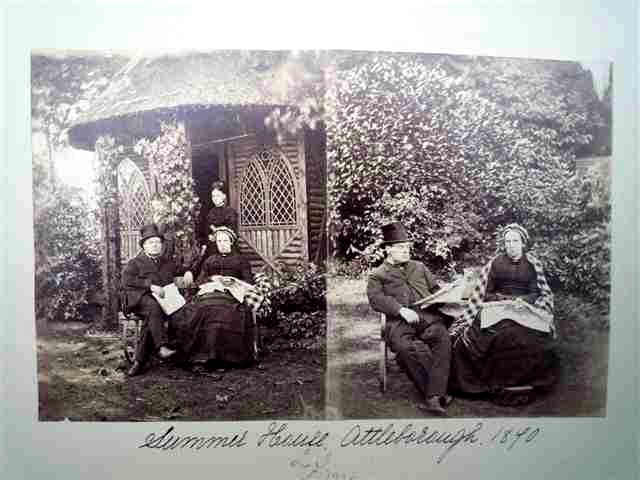
In Attleborough Hall gardens - the Summer House 1890. Thomas and Sarah Townsend enjoy a quiet Summer's afternoon. (Jan Brock)
Picture
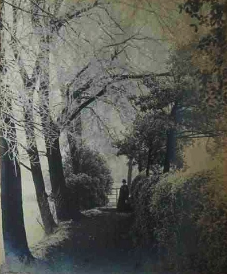
Another quiet moment in the grounds of Attleborough Hall c. 1890. A cold Winter's day amongst the hedgerows. (Jan Brock)
Picture
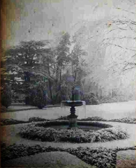
On a very icy day around the year 1890. The frozen fountain in the grounds of Attleborough Hall. (Jan Brock)
Picture
Another view of the 50th anniversary party of Thomas & Sarah Townsend at Attleborough Hall in the year 1885. (Jan Brock)
Picture
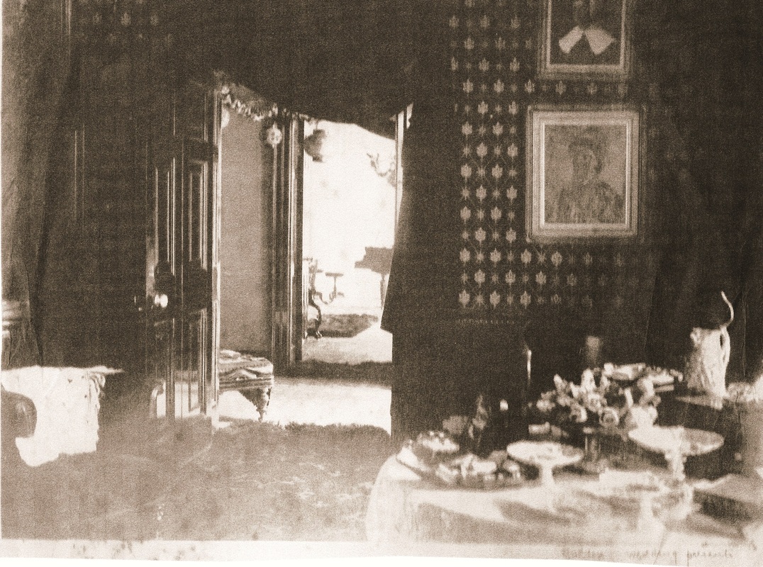
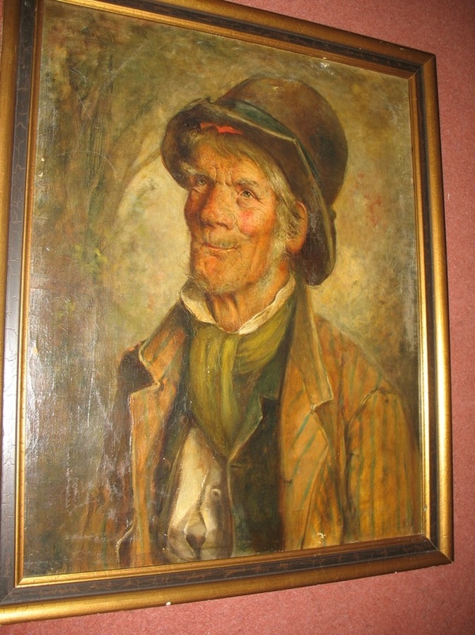
The interior of Attleborough Hall in 1885. A painting by Pattie Townsend hangs on the wall of William Garratt the gardener which is now in New Zealand. (Jan Brock)
Picture
The painting of William Garratt (1857-1933) today hangs in a New Zealand house of a descendent of the Attleborough Hall Townsends. The red cloth peeping from below the rim of William's hat is the handkerchied in which he kept his "Snap". This painting appeared on the BBC TV Antique's Roadshow on 23rd November 2008 and was valued at £5000. (Jan Brock)
How Old William's portrait got to New Zealand.
File Size: 147 kb
File Type: pdf
Download File

Picture
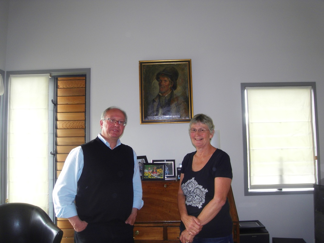
Your web master and Jan Brock with the portrait of William Garrett in his new home in Napier, New Zealand.
Picture
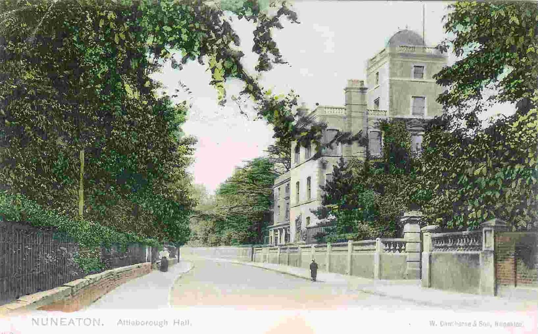
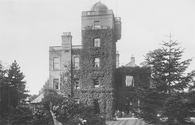
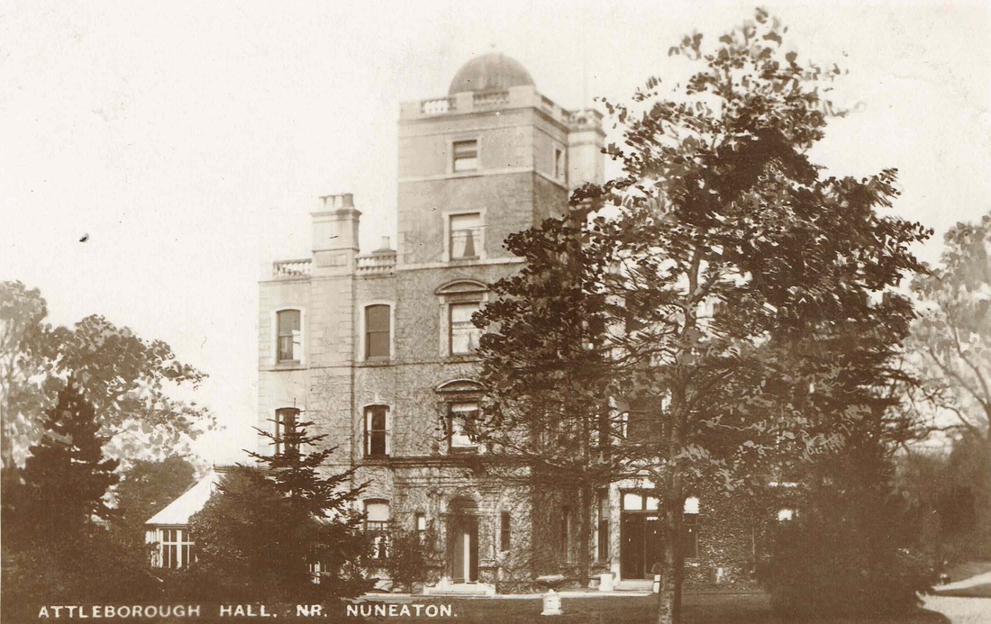
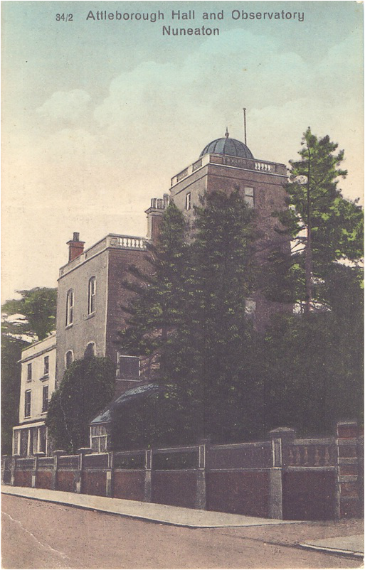
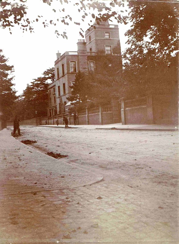
By the first years of the twentieth century the small country mansion of Attleborough Hall had been extended by the addition of an observatory which housed a telescope for one of the Fielding Johnson boys, and the three story block nearest the camera. The hall itself stands where Highfield Road cuts through and the site is obliterated although a section of the perimeter wall remains as well as the stone setts paving leading into the gateway on the right. (Alan Cook Collection)
Picture
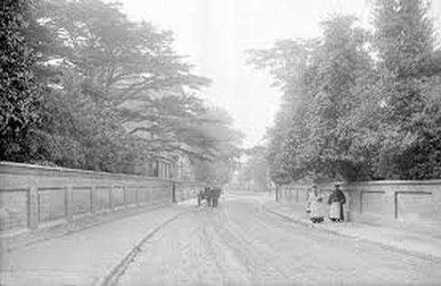
A very familiar street view to our Attleborough ancestors was Attleborough Hall which unlike many local mansions was placed in very close proximity to the busy thoroughfare of Attleborough Road. The road in the distances leads to Nuneaton. The distinctive tall observatory can be seen in this view which was taken early last century. The Hall gates to the right (The granite sets leading into this gateway are still there today if you know where to look). The fine Monkey Puzzle tree beyond the hall itself. One gets the impression this might be an autumnal view as street sweepers are engaged (one either side of the road) shovelling leaves into piles. When the hall stood empty for some years prior to demolition locals passing it at night were frightened by the noises emanating from behind the high wall. One old timer told me there was at least one peacock in the grounds whose blood curdling screeches petrified pedestrians walking past there at the dead of night. As you can see there was only the occasional gas lamp to illuminate the footpath. (Horace Bull, courtesy of Ruby Atkins).
Picture
Another view of Attleborough Hall with the additions made by the Fielding Johnson family, the observation tower from the garden side of the house.
Picture
Attleborough Hall in Fielding Johnson days.
Picture
Attleborough Hall in a heavily re-touched but unusual image. (Nancy Bradley)
Picture
Attleborough Road looking back towards Attleborough village with Attleborough Hall on the left.
Picture
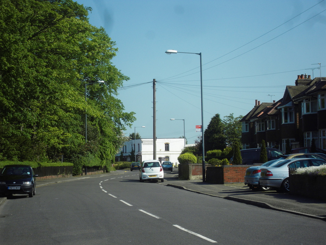
Attleborough Road looking towards the junction with Highfield Road, 2011. Albion Buildings in white. (Peter Lee)
Picture
Hall End, Attleborough. c. 1910. The lady in view is standing outside her ancestral home - a house occupied by the Hackett family for 150 years. The Hacketts were wood turners and rake makers, a trade which they practised for all that time. In fact their house we see here was turned into a beer house called "The Woodman". The lady, Catherine Mary Ensor (1883-1973), is visiting her family from Massachussets where she then lived. (Moreton J. Ensor)
Picture
9-12 Hall End before demolition. (Nancy Bradley)
Picture
Hall End (attleborough Treats). (Nancy Bradley)
Picture
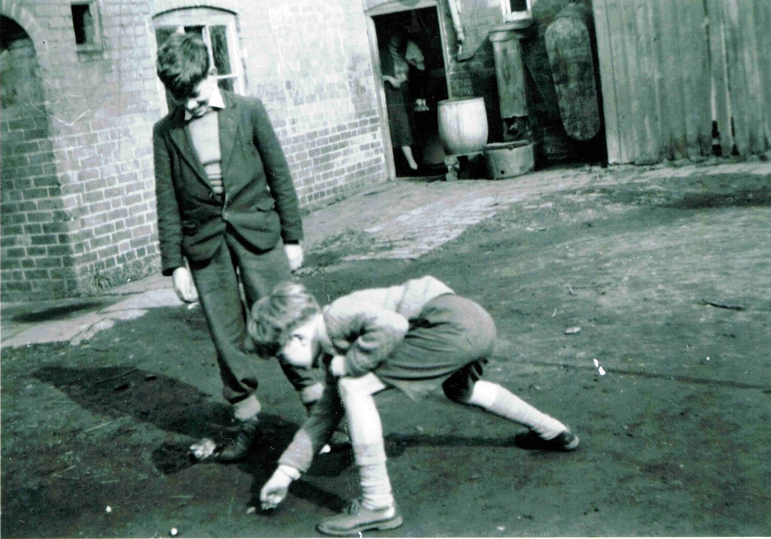
Alan Compton and his pal playing alli's (marbles) in the back yard of his house in Brook Street. Its all there. The tin bath, the soft water butt and the pump in the yard. !950's. (Alan Compton)
Picture
Attleborough Lodge
Picture
Paul's Ford, named after the ancient family of Paul who were one of Attleborough's principal families.
Picture
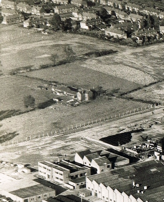
The Attleborough business of Sterling Metals Ltd was built on farmland which was part of Kem's farm seen here. Popularly known at "Teddy Kem's Heaven". Beyond the farm are the houses built in the 1920's known locally as the "Battlefields" with names from Sir Walter Scott's novels - Ivanhoe, Waverley etc. Teddy Kem was a real person - Edward Kem (1722-1800) believed to have been the inspiration for George Eliot's novel - "Silas Marner". Although I suspect George Eliot cleaned him up a bit to render him as Silas Marner. Teddy is celebrated locally in Attleborough today as a local roadway is called "Kem Street".
Picture
The farm house in the foreground was known as Kem's Farm, or "Teddy Kem's Heaven". It is believed to be the lonely farm occupied by the fictional character Silas Marner in George Eliot. The roadway top left is Marston Lane, Attleborough. Photo c. 1950. (Sterling Metals Ltd.)
Picture
A close up view of Kem's farm, Attleborough before it was demolished. (Alan Cook)
Picture
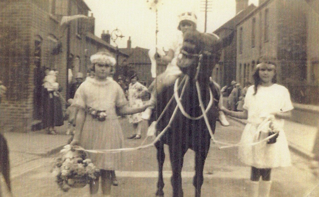
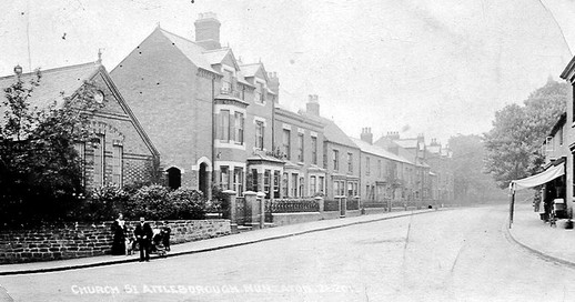
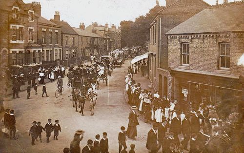
This procession in Church Street, Attleborough may have been part of the celebrations for Charter Day in Nuneaton. All the properties on the right have been demolished, those on the left partially intact today. The name Church Street was changed to Attleborough Road possibly in the 1930's when Highfield Road was built.
Picture
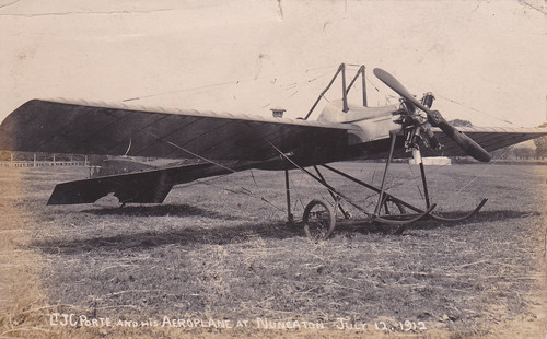
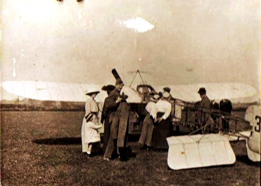
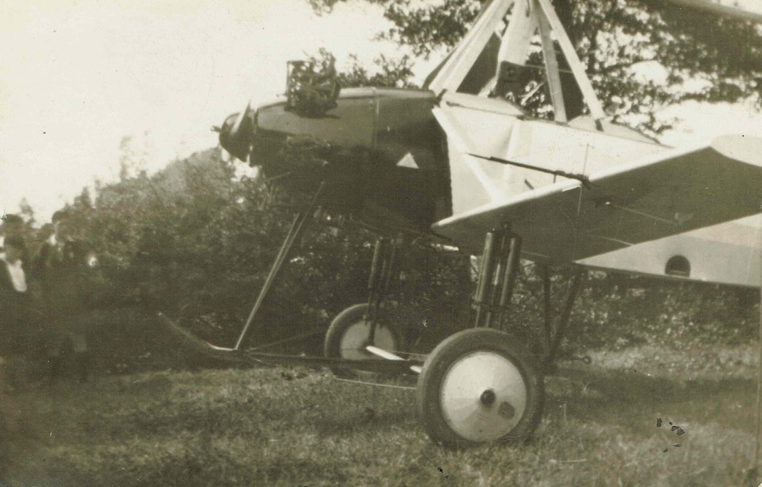
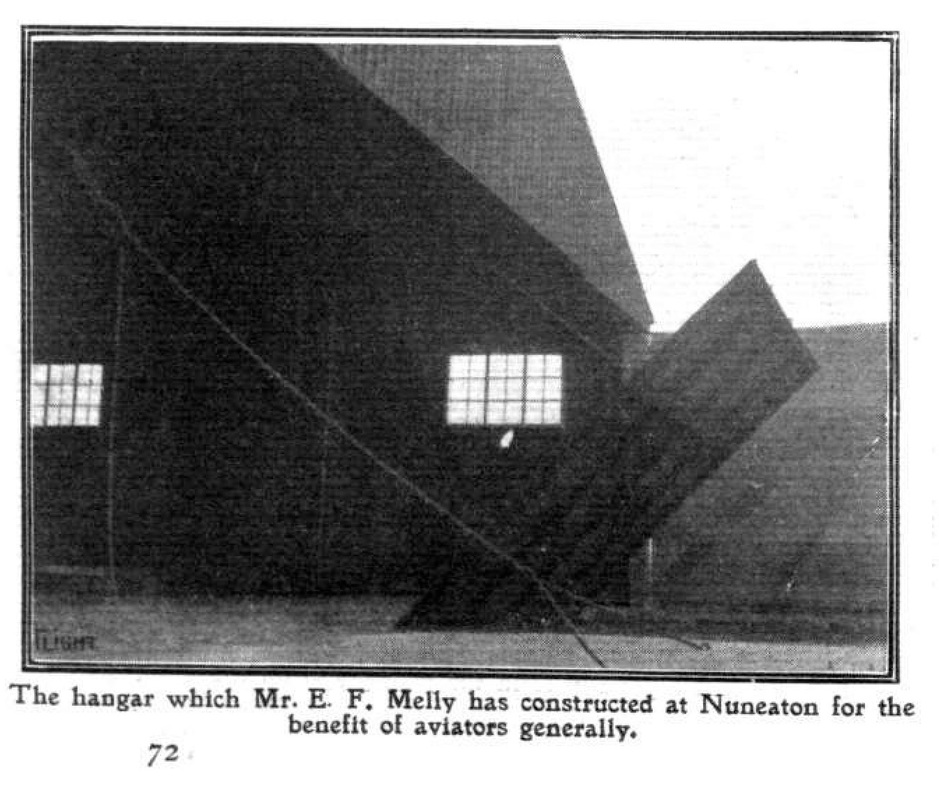
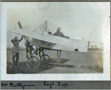
Scrapbook of photos - Attleborough Airfield.
Picture
Picture
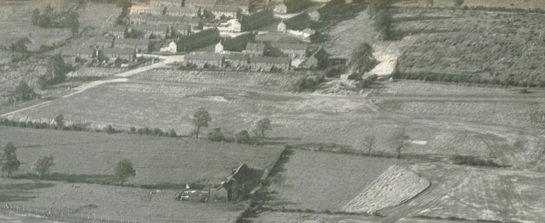
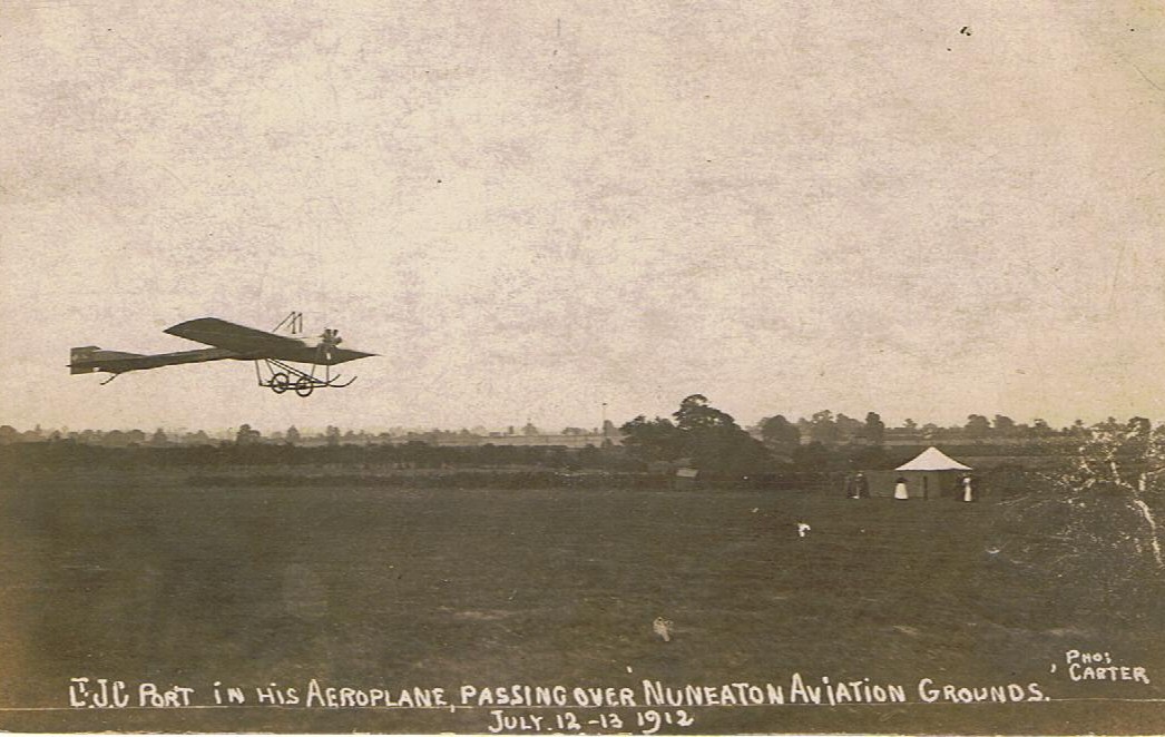
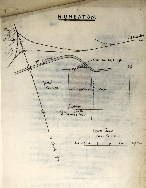
At one time there was an important airfield at Attleborough. It was brought into use about 1912 and was chosen as a half way point between London and Manchester when flyers used the main railway lines for navigation purposes.
Picture
Another view of Attleborough airfield about 1912-14.
Picture
Attleborough airfield again? Does anyone recognise the type of plane. (Tom Burgoyne, courtesy of Ian Burgoyne)
Picture
Picture
Picture
Attleborough Airfield Plan.
Picture
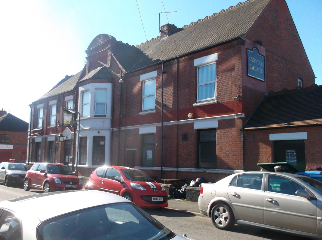
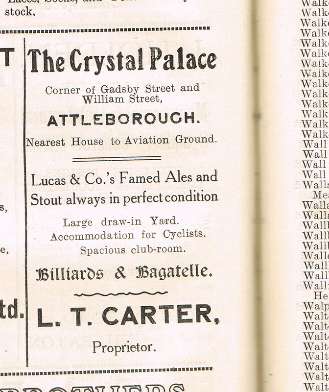
The Crystal Palace pub served as Attleborough Airfields refreshment rooms. Flyers between Manchester and London, having landed at Attleborough to re-fuel could call in for a couple of pints before resuming their journey! Len Carter was one of the Carter brothers, builders of Attleborough, and was a plumber by trade. (Fred Phillips Collection)
Picture
The Crystal Palace pub in September 2015. (Peter Lee)
Picture
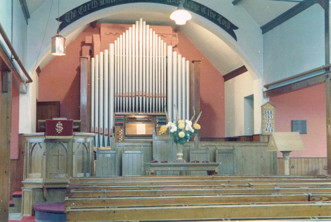
The interior of Attleborough Baptist Church. (Geoff Edmands)
Picture
A selection of different house styles in Gadsby Street. (Glen Noon collection)
Picture
The Stone Row, Gadsby Street may pre-date most of the rest of the street by some considerable margin. It is thought the stone may be from the Staffordshire Moorlands and is too gritty to be Attleborough in origin. (Glen Noon Collection)
Picture
Picture
More views of the varied style of houses in Gadsby Street. (Glen Noon Collection)
Picture
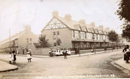
Corner of Park Avenue with its distinctive villas.
Picture
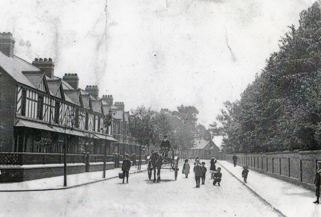
A fine view pf Park Avenue before WW1. With the wall surrounding Attleborough Hall Park on the right.
Picture
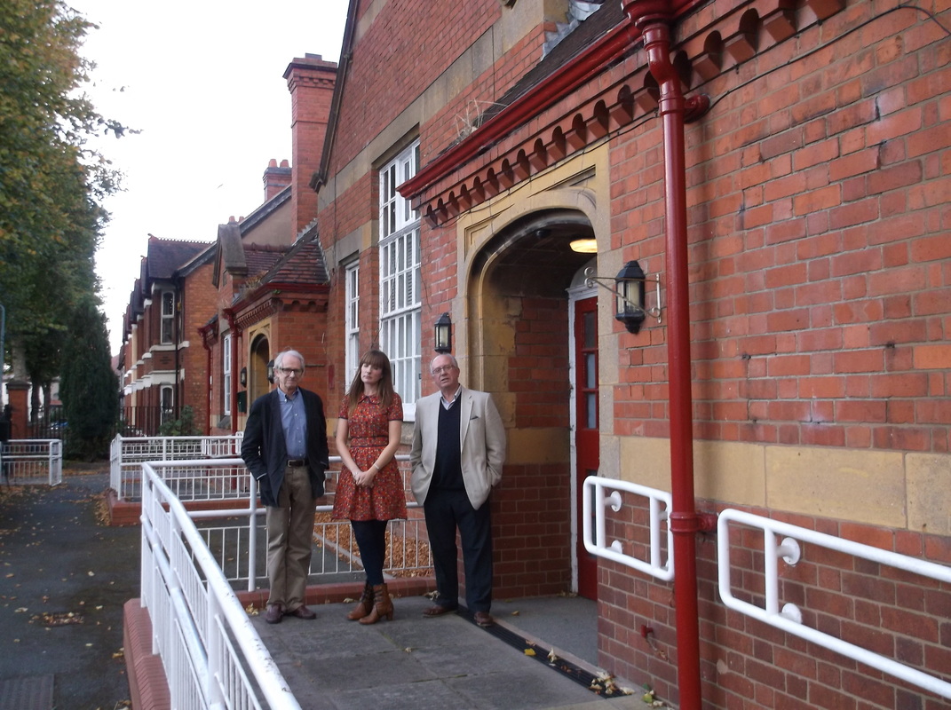
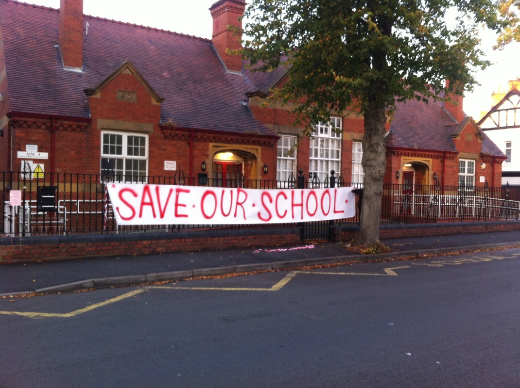
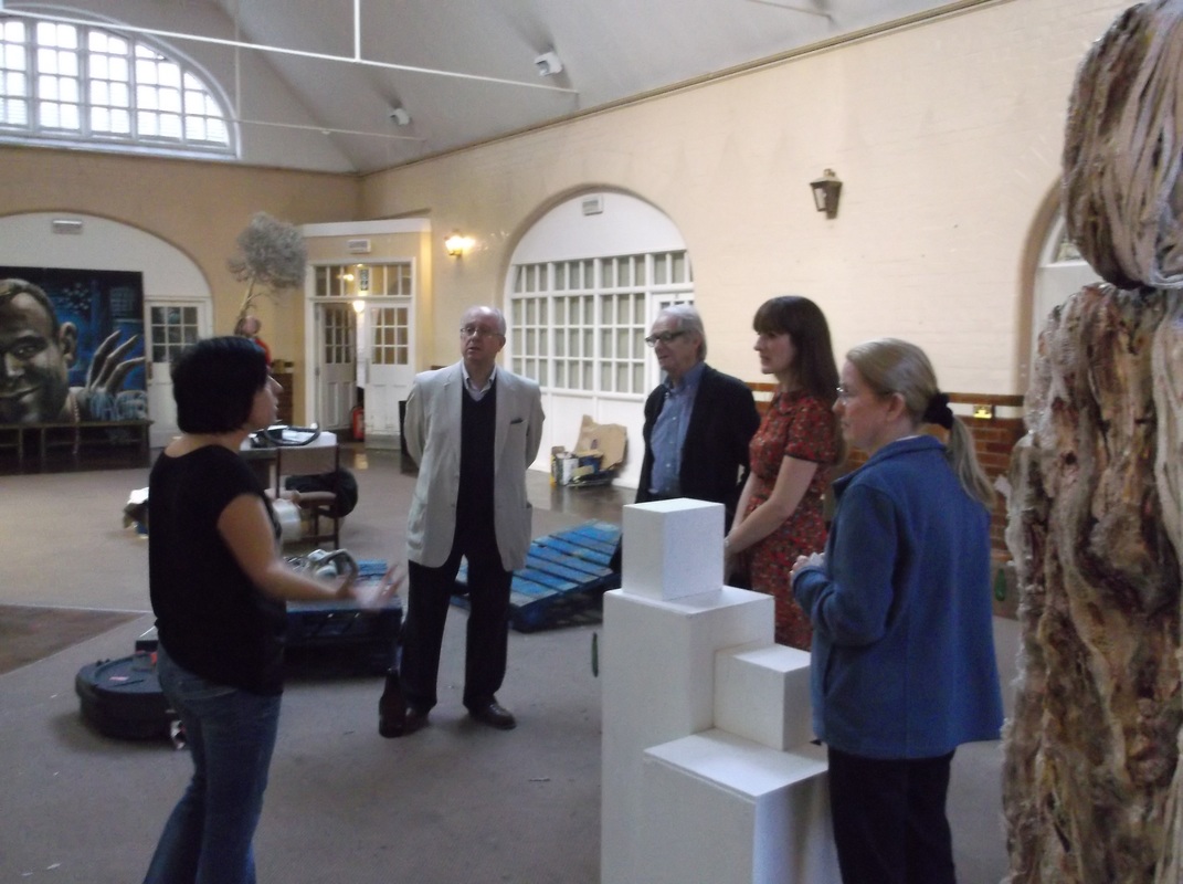
Ken Loach, Julie Ann Simms and Peter Lee stand outside the soon to be condemned Park Avenue School. Julie Ann has waged a vigorous campaign to stop the demolition of the building backed by Ken and myself.
Picture
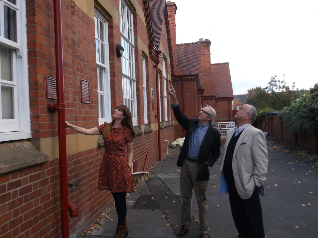
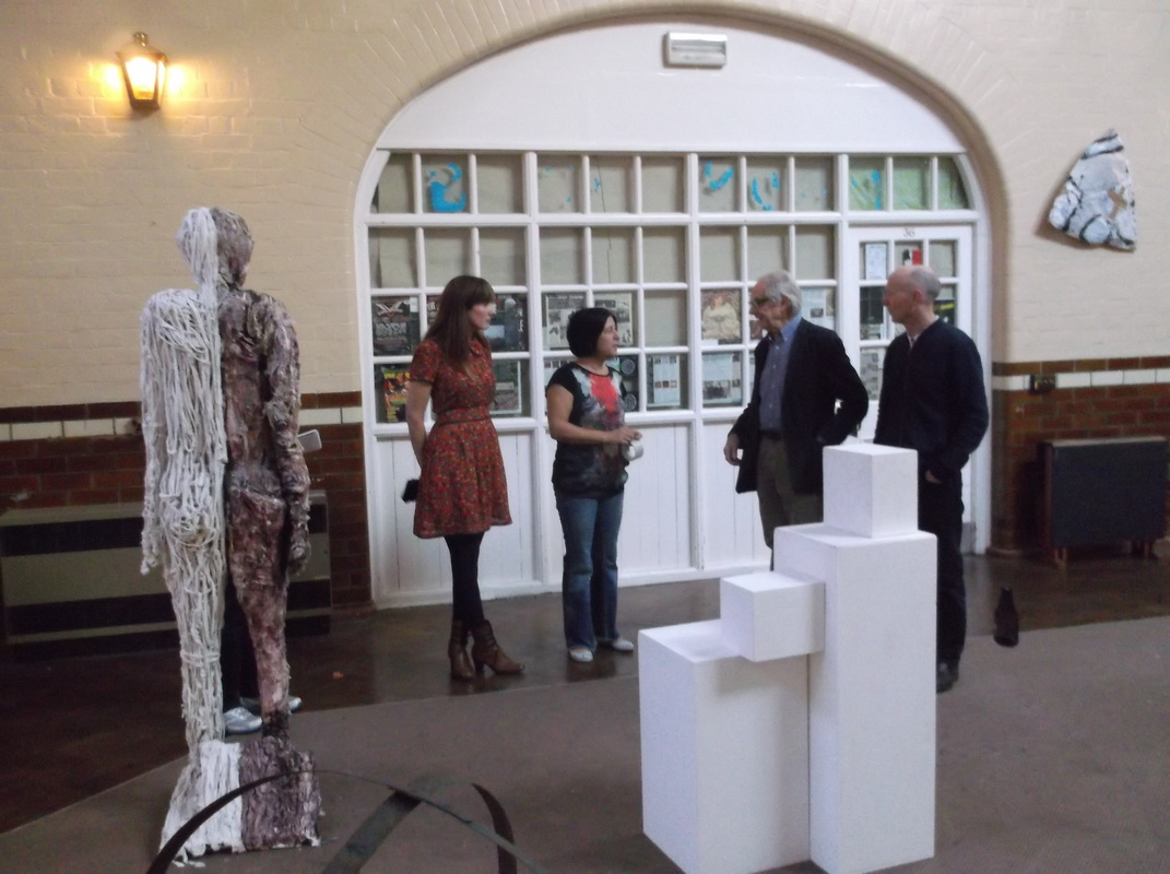
Ken points out some of the finer points of the fine Stanley's brickwork on the school.
Picture
The campaign to save Park Avenue school gets underway. (Julie Ann Simms)
Picture
The interior of the Park Avenue school on the occasion of Ken Loach's visit. The school has been used latterly as an art studio.
Picture
Picture
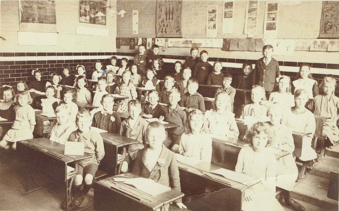
In a classroom at Park Avenue school 1918. (Lee Family Collection)
Picture
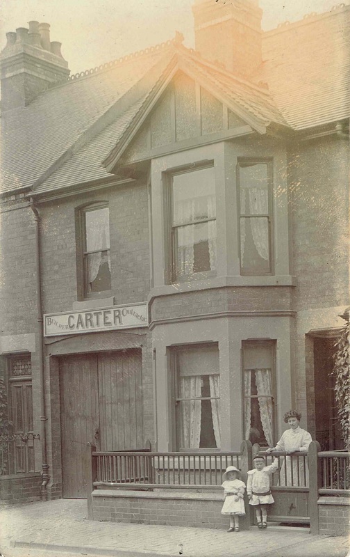
Carter's Building Contractors, William Street, Attleborough. Carter's built large sections of Gadsby Street, Park Avenue etc.
Picture
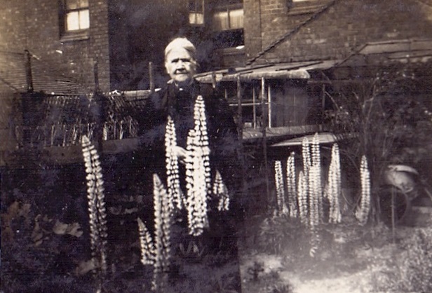
Lupins bring a blaze of colour to this William Street back yard, but who is the lady? (Stephanie Southall Collection)
Picture
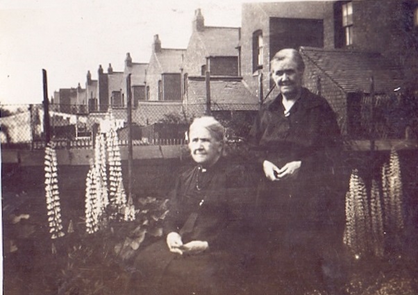
Here she is again with another lady. A good view of the backs of the houses in William Street. (Stephanie Southall Collection)
Picture
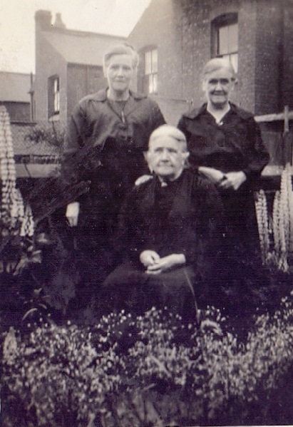
The William Street family group. (Stephanie Southall Collection)
Picture
Church Street, Attleborough in the early 20th century. The Jireh Baptist chapel on the left dates back to the 1870's.
Picture
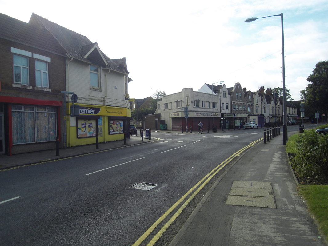
The corner of Attleborough Road and Lister Street in the 1990's. Looking towards Attleborough Village (Peter Lee)
Picture
At one time Eastborough Way looked like this, a country lane. No Attleborough Fields industrial Estate, no Crowhill housing estate. Just a few farm buildings and wide open green fields. (Maurice Billington)
Picture
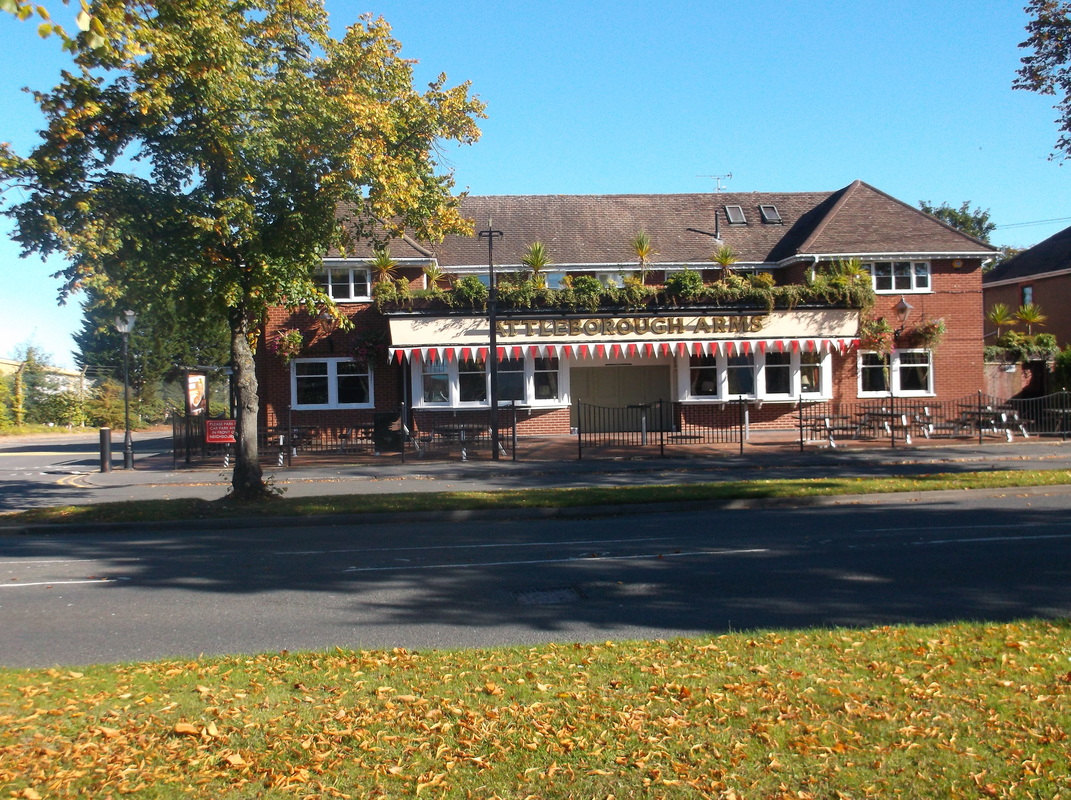
The Attleborough Arms. A very popular new pub which gets crowded at the week-end. September 2015. (Peter Lee)
Picture
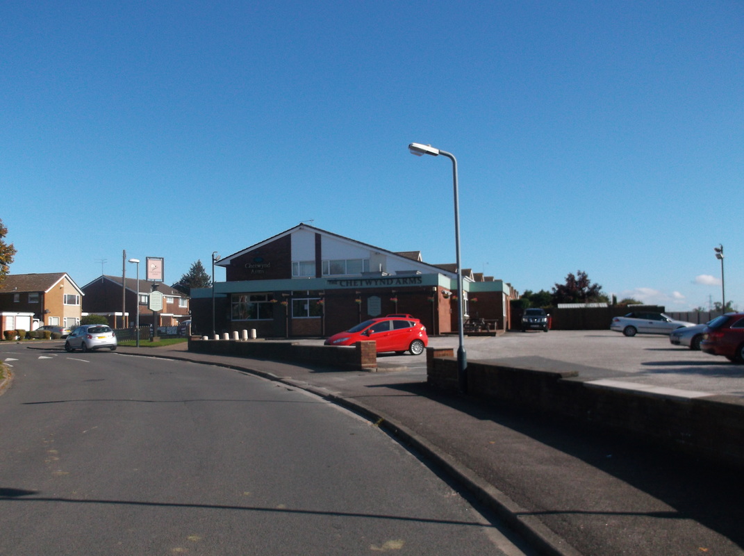
The Chetwynd, another popular estate pub. September 2015. (Peter Lee)
Picture
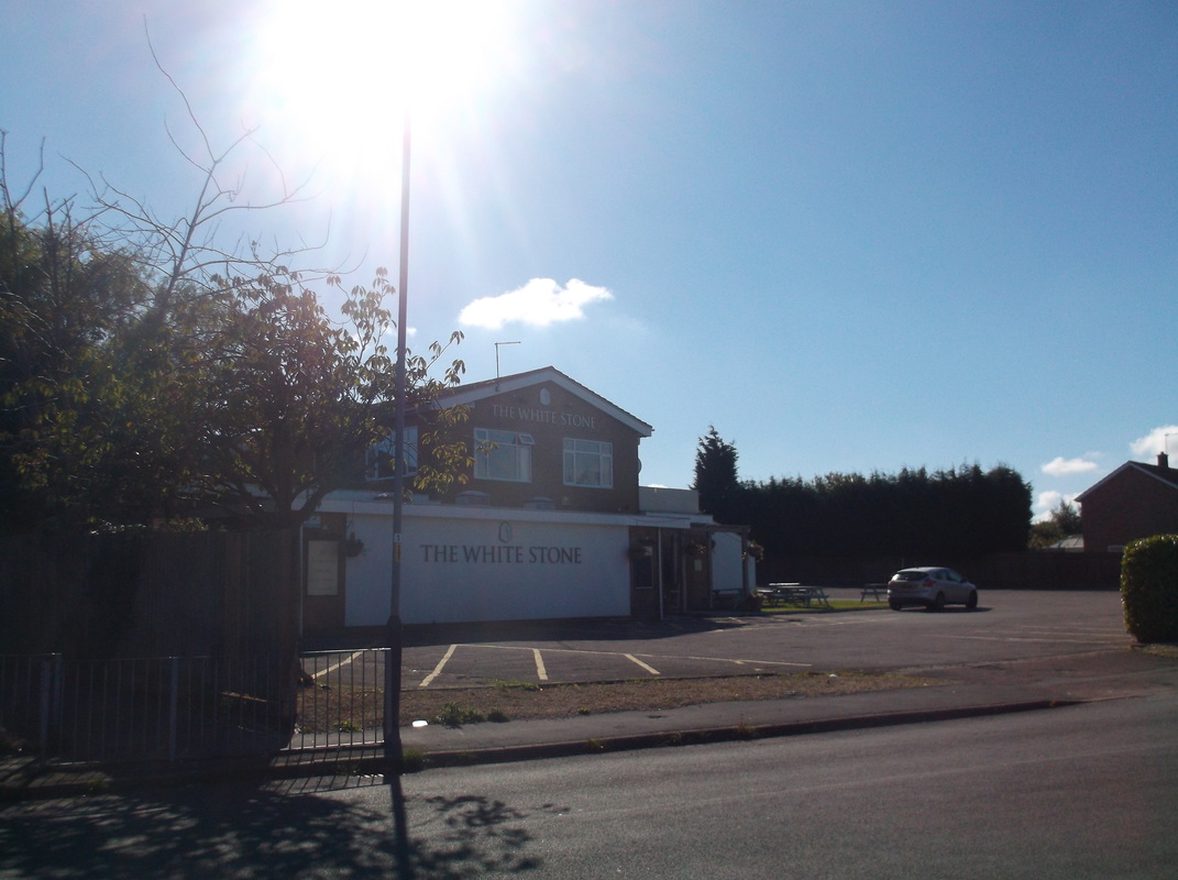
The Whitestone. A popular pub and excellent restaurant. Used to be called the Hayrick when first opened. (Peter Lee)

Austrey

Picture
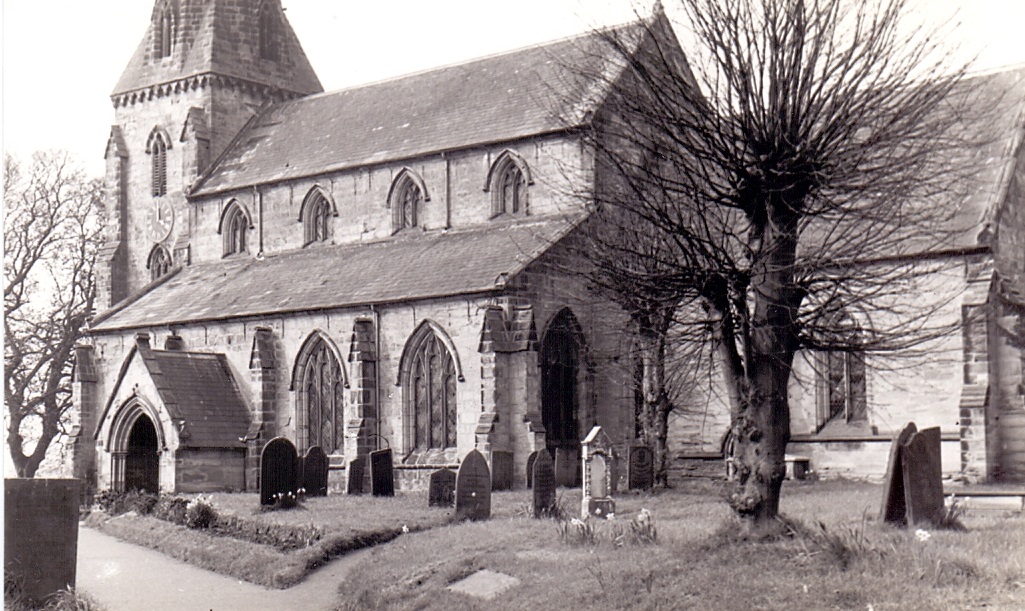
Austrey Church 9th April 1961. (Geoff Edmands)
Picture
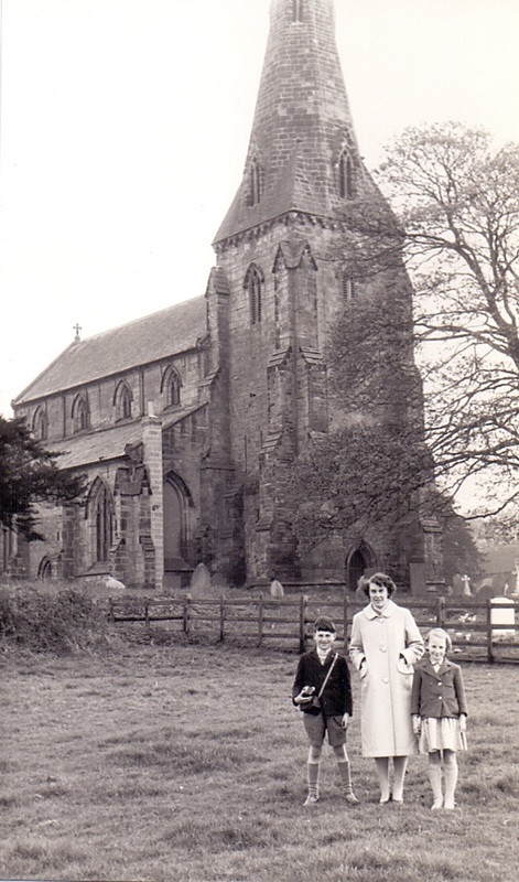
The parish church of St. Nicholas, Austrey and Mrs. Ruby Sargent and children Richard 9 years old, and Prudence aged 8. 9th April 1961 (Geoff Edmands)

Bentley

Picture
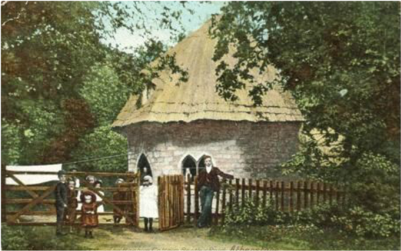
Beehive Cottage at Bentley near Atherstone. On the road between Atherstone and Coleshill. A lovely part of old Warwickshire.
Picture
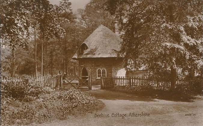
Another view of the Beehive Cottage.

Berkswell

Picture
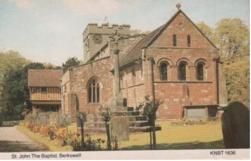
St. John the Baptist Church at Berkswell.
Picture
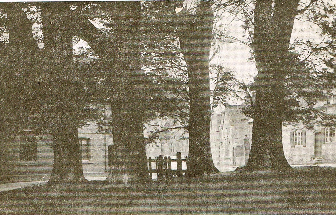
(The Harridan On Line Collection)
Picture
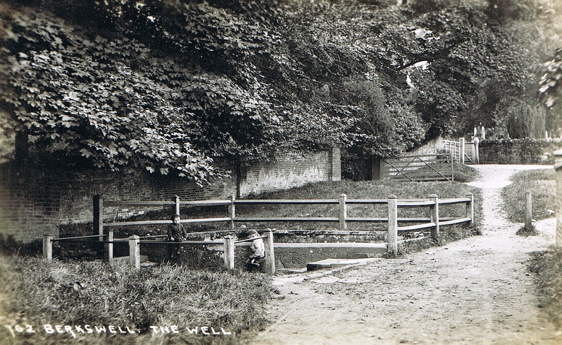
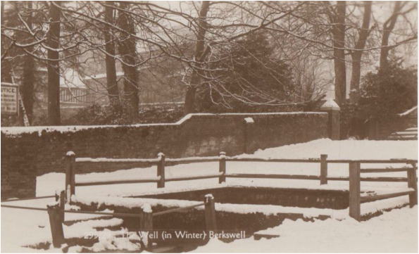
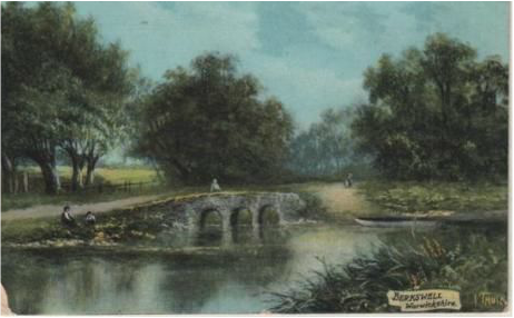
Berkswell Well in winter.
Picture
Berkswell - The Stocks (The Harridan On Line Collection)
Picture
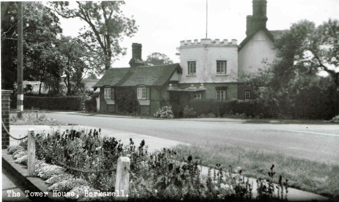
The Tower House at Berkswell. 1950's. (Harridan On Line Collection)
Picture
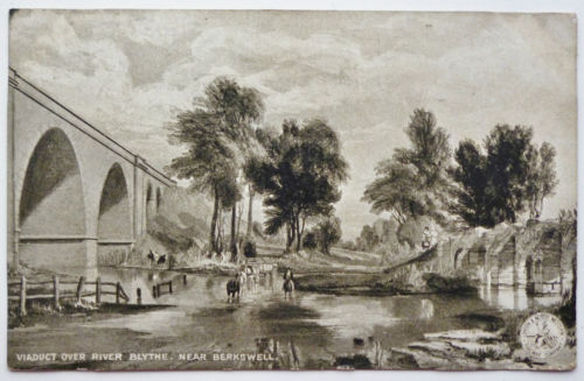
The railway viaduct across the River Blythe at Berkswell.
Picture

Brinklow

Picture
Picture
Picture
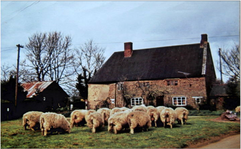
Warwickshire sheep at Brinklow. (Mrs. M.Jowett)
Picture
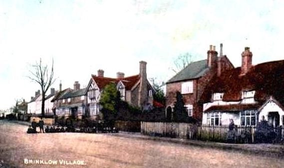
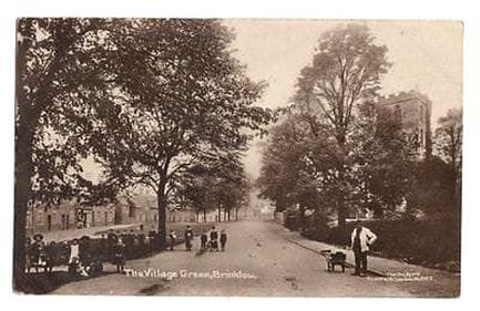
The village green, Brinklow.
Picture
Picture
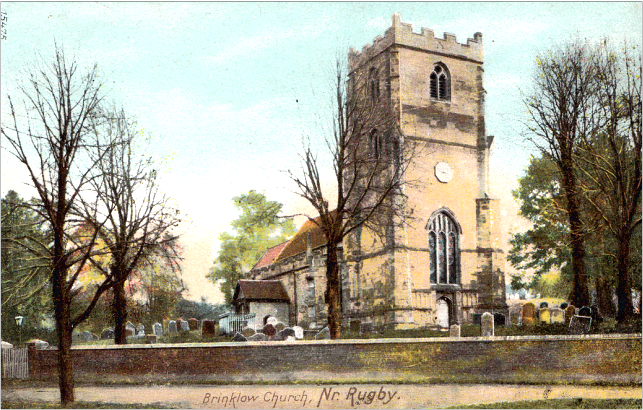
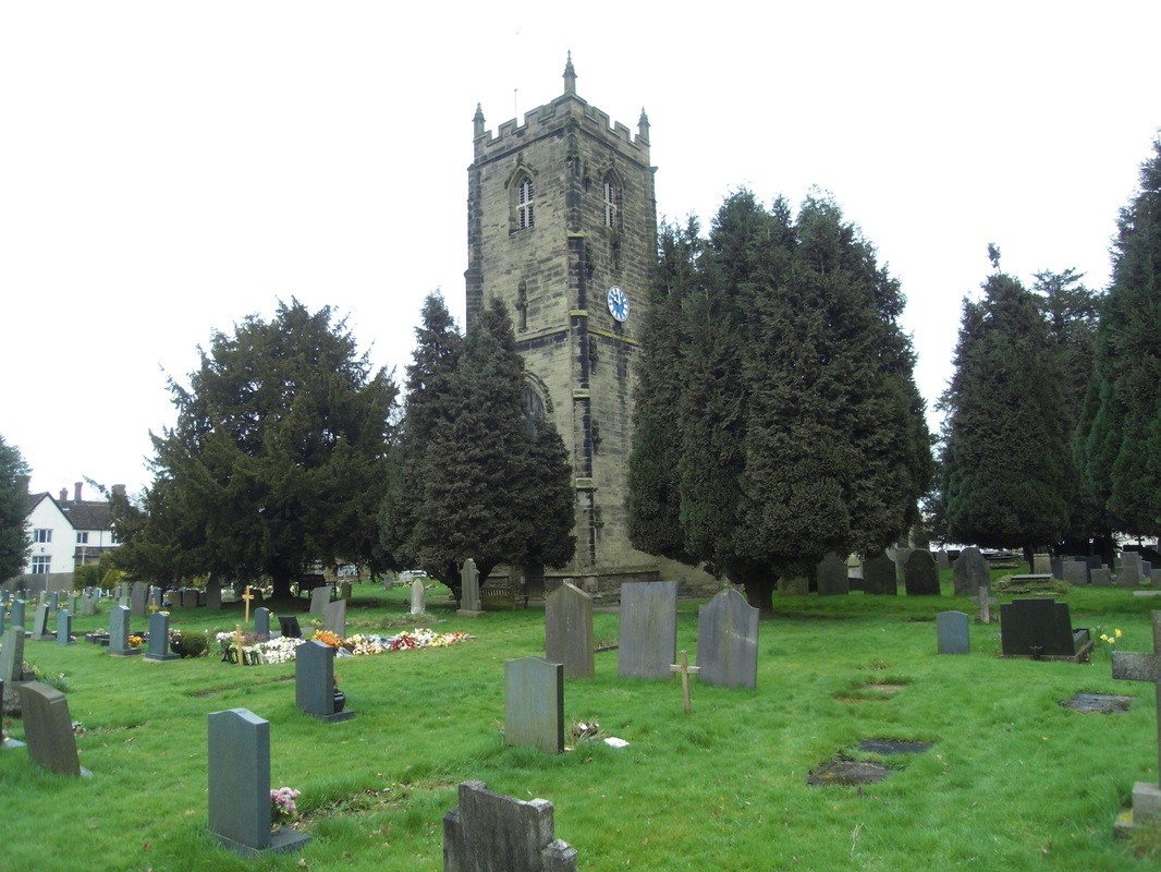
Brinklow Church

Bulkington

Picture
Bulkington Church 6th April 2014 (Peter Lee)
Picture
(Fred Phillips)
Picture
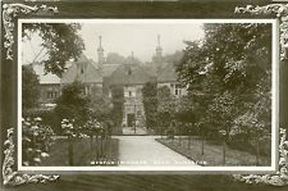
Weston Hall, Bulkington.

​Burton Hastings

Picture
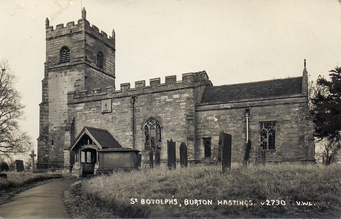
St. Botolph's Parish Church, Burton Hastings. (Geoff Edmands Collection)

Caldecote

Picture
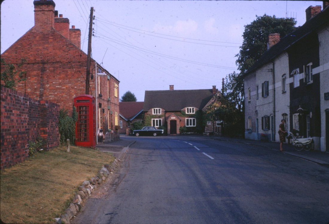
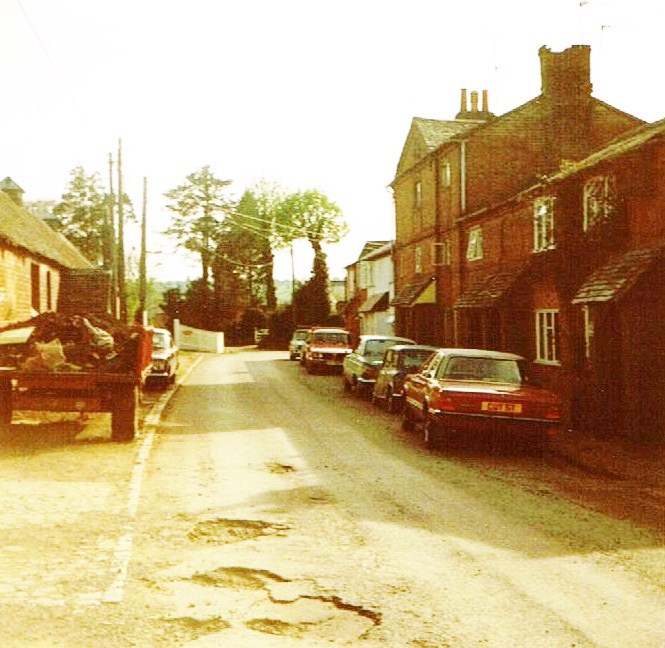
Caldecote Village in the 1980's (Peter Lee)
Picture
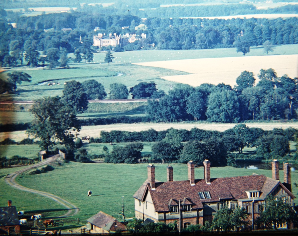
Caldecote Hall from the Nuneaton ridge near Hartshill (Alan Cook)
Picture
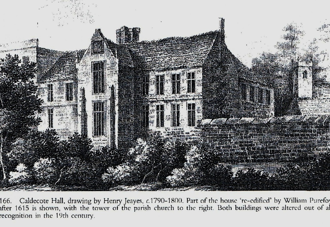
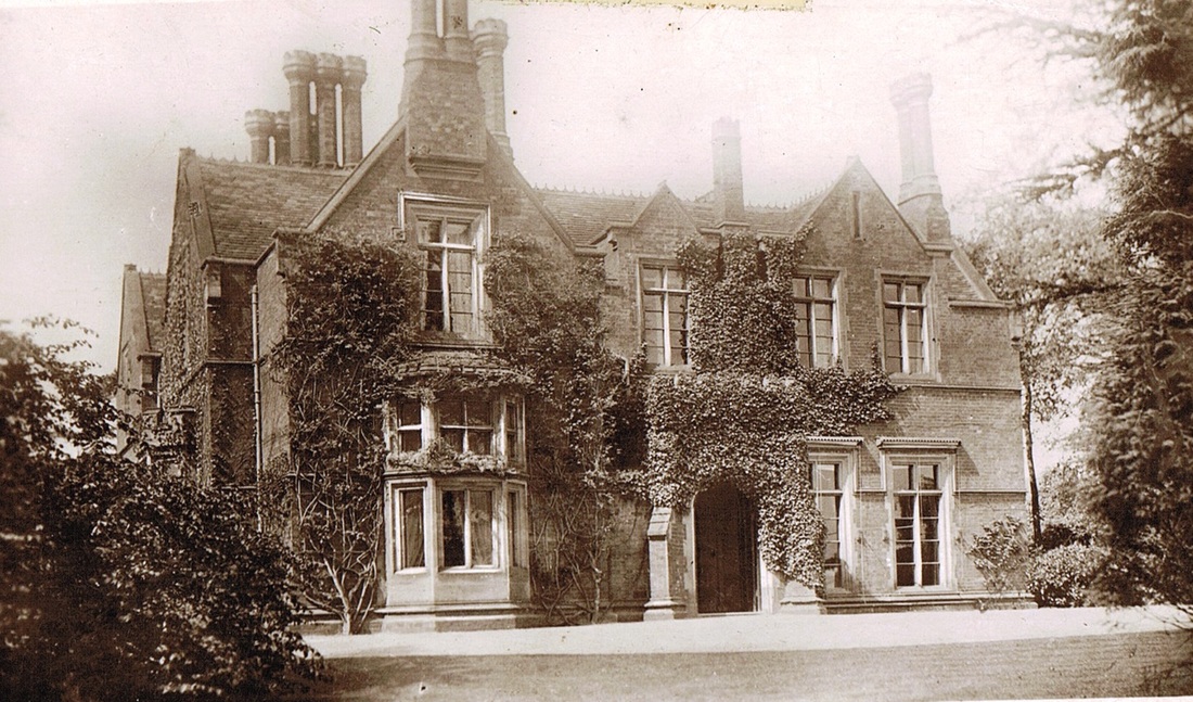
This old Caldecote Hall was pulled down and entirely rebuilt in the 1880's.
Picture
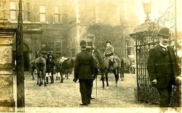
A meeting of the Atherstone Hunt at Caldecote Hall before 1907.
Picture
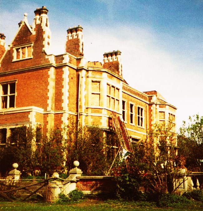
The fire damaged derelict wing of Caldecote Hall in the 1980's. (Peter Lee)
Picture
The occupied wing of Caldecote Hall in the 1980's. The house has now been beautifully restored as luxury apartments in the most idyllic surroundings. (Peter Lee)
Picture
(Peter Lee)
Picture
Picture
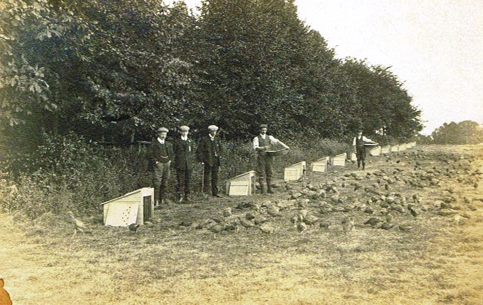
The nurseries at Caldecote Hall. (Peter Lee)
Picture
Feeding the pheasants at Caldecote. (Tom Burgoyne Collection)

Camp Hill, Nuneaton.

Picture
Camp Hill Hall from the Wright Family North Warwickshire Collection. Constructed about 1838 for a local lawyer - John Craddock. It was demolished c. 1932. (The Wright Family -North Warwickshire Collection)
Picture
A poor photo but worth showing to see Camp Hill Hall in its wider setting.

Chapel End

Picture
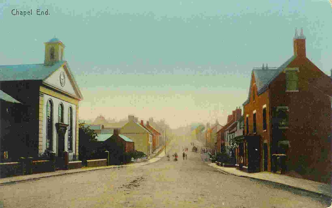
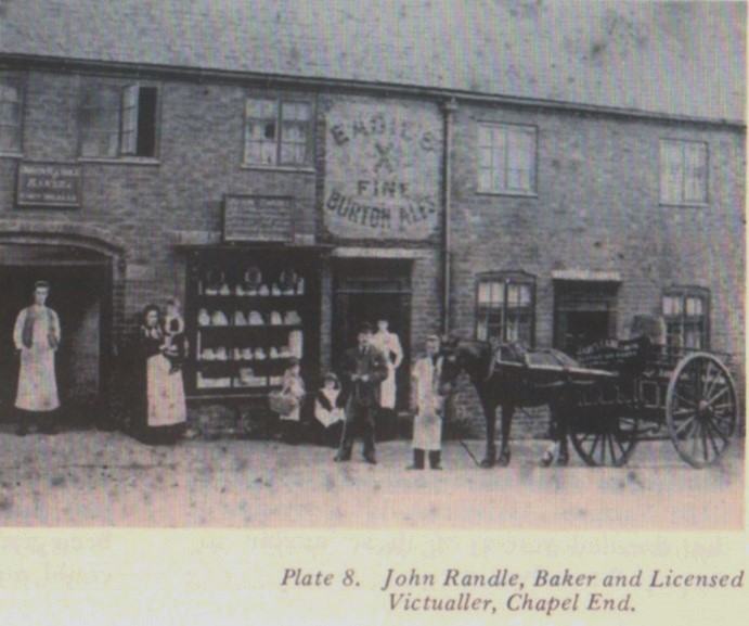
Chapel End derived its name from the Chapel on the left. We are standing in the middle of the main road towards Nuneaton with the road to Birmingham behind the cameraman in this turn of the 20th century view.
Picture
Picture
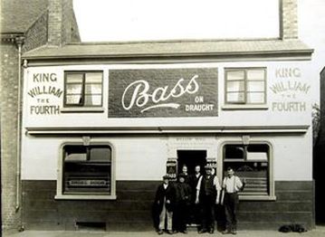
The King William IV pub, Chapel End. (Nuneaton News)
Picture
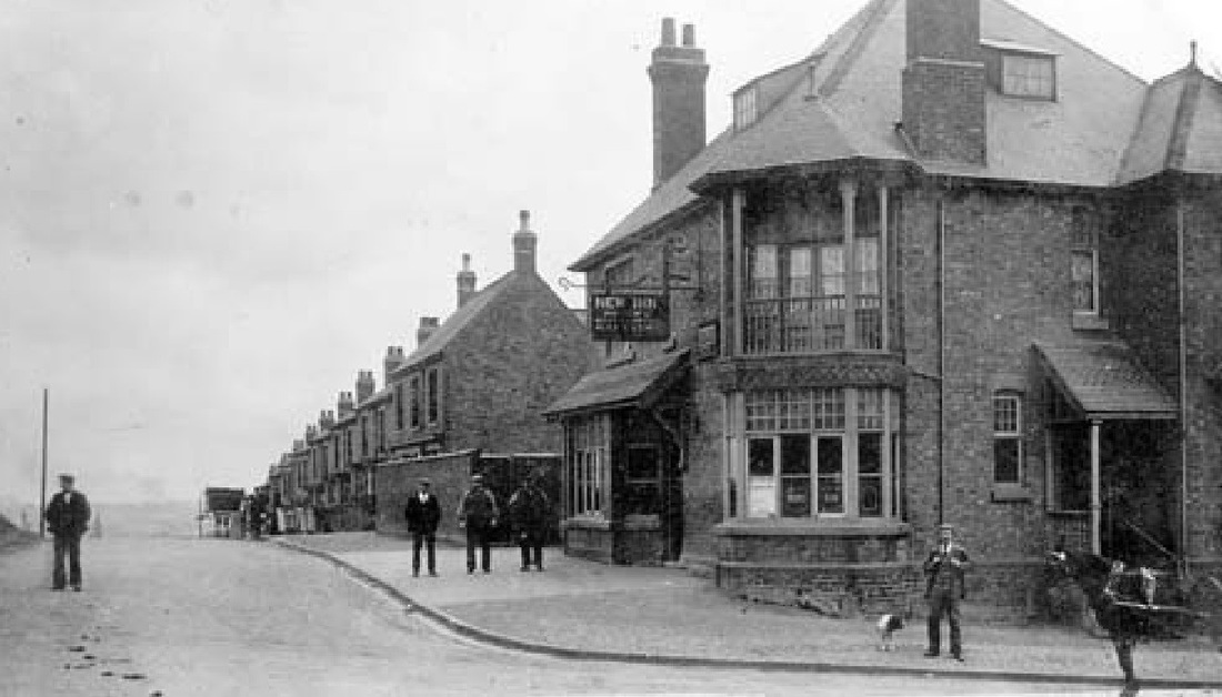
The New Inn (or better known as the Cripples) looking down Bucks Hill.

Chilvers Coton

Picture
A view taken from Griff Nr. 4 colliery tip looking towards Mount Jud in the far distance over Heath End Road with Bermuda Road to the right. The Cloddies in the middle distance. (Geoff Edmands)
Picture
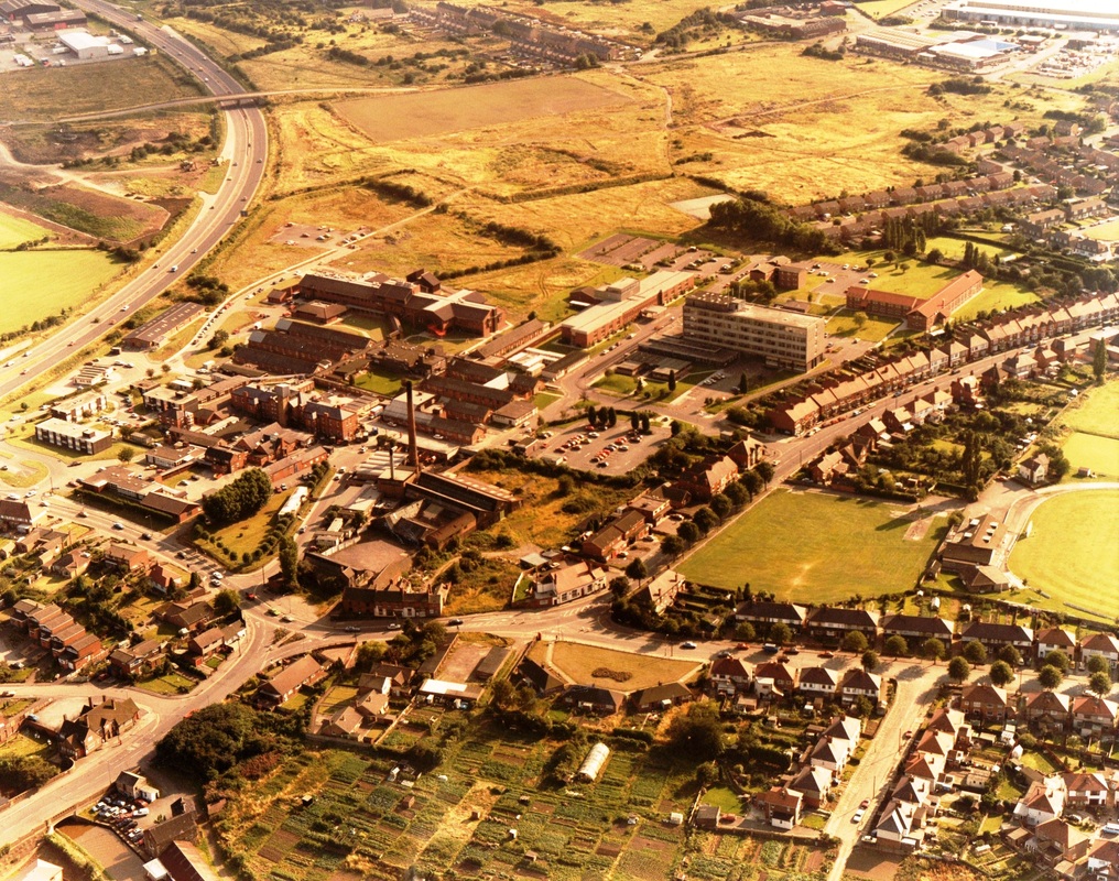
An aerial view of Chilvers Coton with Heath End Road dominating the picture in the centre. On the left is the George Eliot Hospital and the end of the Bedworth by pass and the Banana Bridge. Bull Ring to the right lower with the Nuneaton Foundry (now demolished and covered in flats) still there and not long before demolition. (courtesy John Walklate)
Picture
Another view across Coton with Heath End Road off to the right (Upper) and Greenmoor Road right (lower). The George Eliot Hospital dominates and the Bedworth By Pass. Much of this has changed over the years since this view was taken. (Courtesy John Walklate)
Picture
Picture
The old "Fleur de Lys" pub on Coventry Road was part of old Chilvers Coton. Its modern replacement still stands of course. (Fred Phillips Collection)
Picture
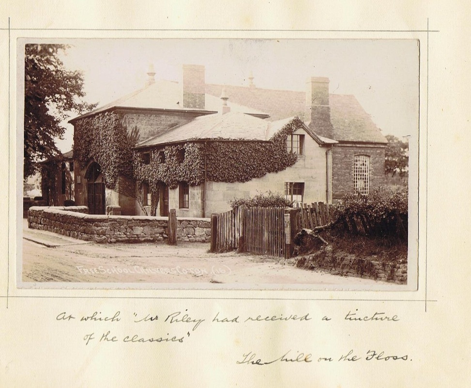
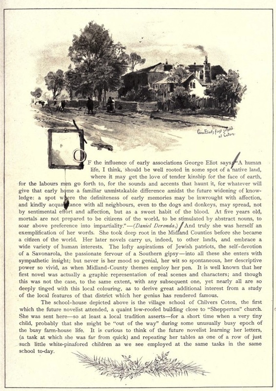
This is the old school at Chilvers Coton which is still there of course. The building today is testimony to the hard work of one lady - Beryl Kerby who saved it from demolition. There is no evidence that George Eliot had any close association with the building as she was educated at the local private schools and this school was for poor kids. But she would have passed it regularly and maybe went inside from time to time in her 22 years in the parish.
Picture
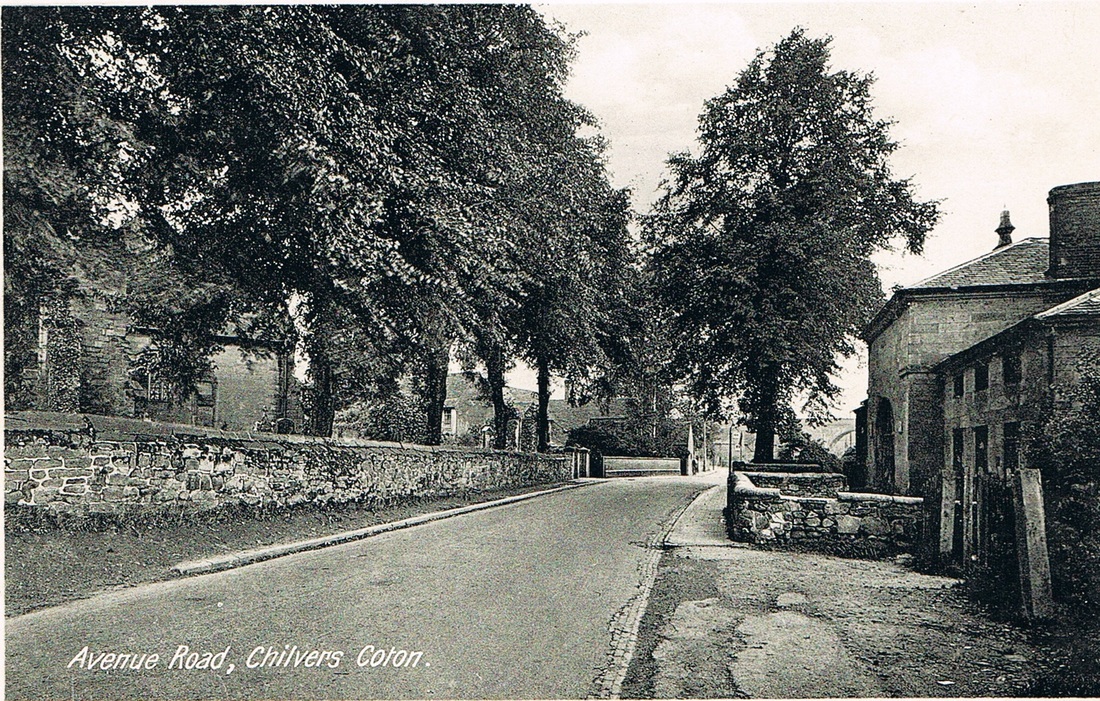
Avenue Road, Chilvers Coton, early 1900's. Looking towards Coton Arches. Old school on the right, church on the left. The name Avenue Road is a relatively recent re-naming because in the 19th century this part of Chilvers Coton was called, for obvious reasons - Church End, and was one of the four "ends" of Chilvers Coton. The scene has not changed a great deal other than the Attleborough stone wall in front of the school has been swept away and the road widened. It would be ill advised to take a similar view today with the heavy volume of traffic that comes down this road which has been converted into a through route around the town bringing traffic from the Motorway to the industrial estates at Attleborough.
Picture
Patty Townsend the well known Attleborough artist illustrated a book on the theme of George Eliot Country in the 1890's and depicted the Old school at Chilvers Coton. Although it is known that George Eliot did not attend here and may have only known it in passing through the village of Chilvers Coton to attend school at Attleborough or to visit relatives who lived there. It is unlikely she had cause to enter the building.
Picture
Avenue Road Mid 1960's, taken from the tower of Coton church. Coton arches to the left. (Geoff Edmands)
Picture
Another view of Avenue Road looking over the Chilvers Coton Heritage Centre towards the Pingles swimming pool. Mid 1960's. (Geoff Edmands)
Picture
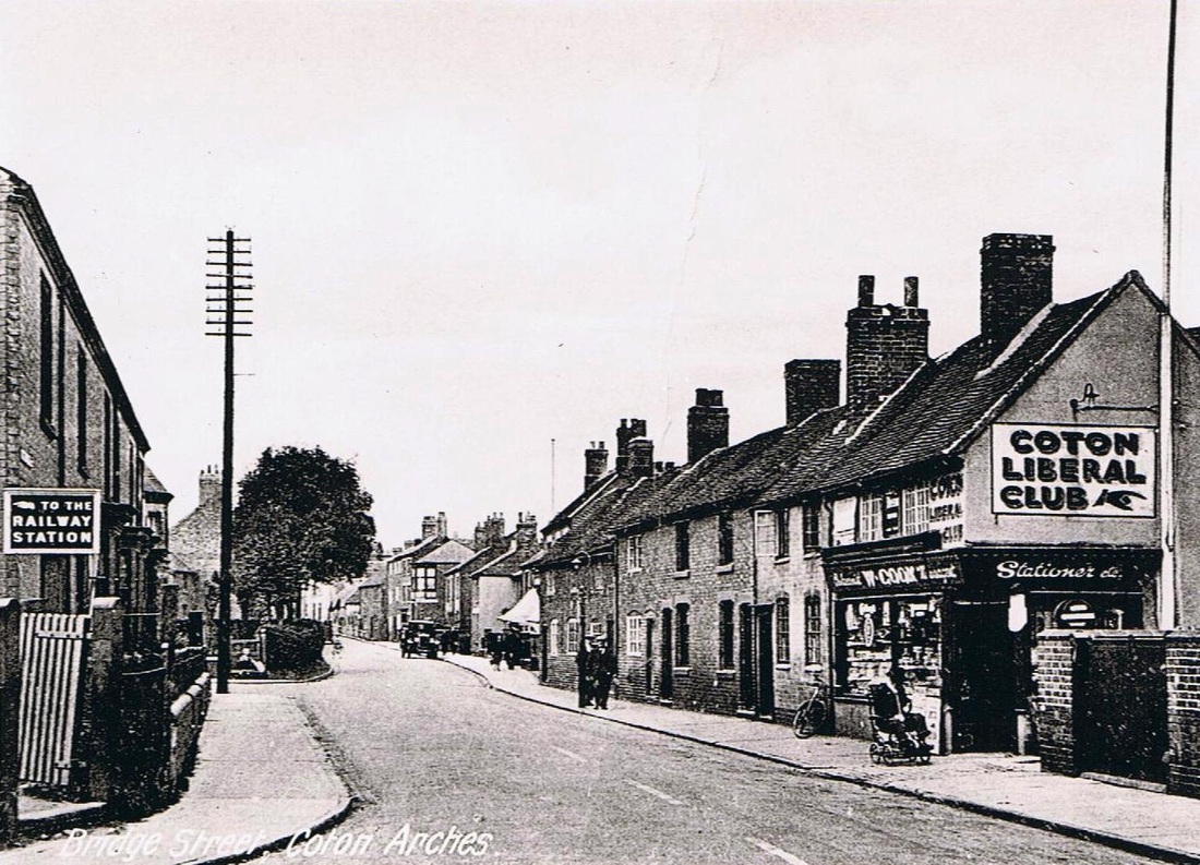
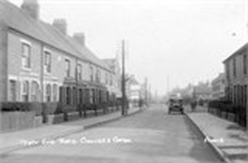
Bridge Street, Chilvers Coton. Probably in the 1920's or early 1930's.
Picture
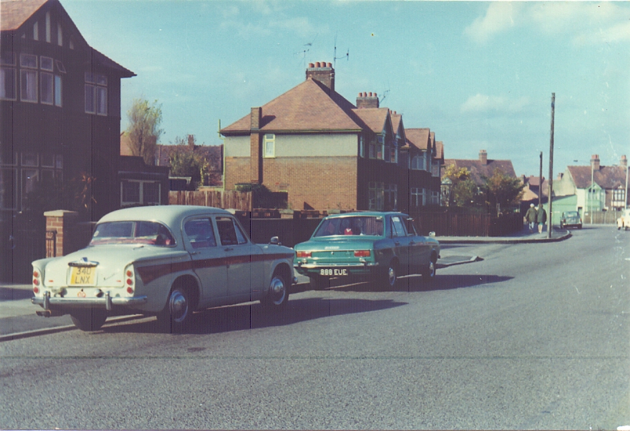
Greenmoor Road with two of Geoff's cars. (Geoff Edmands)
Picture
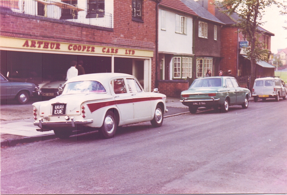
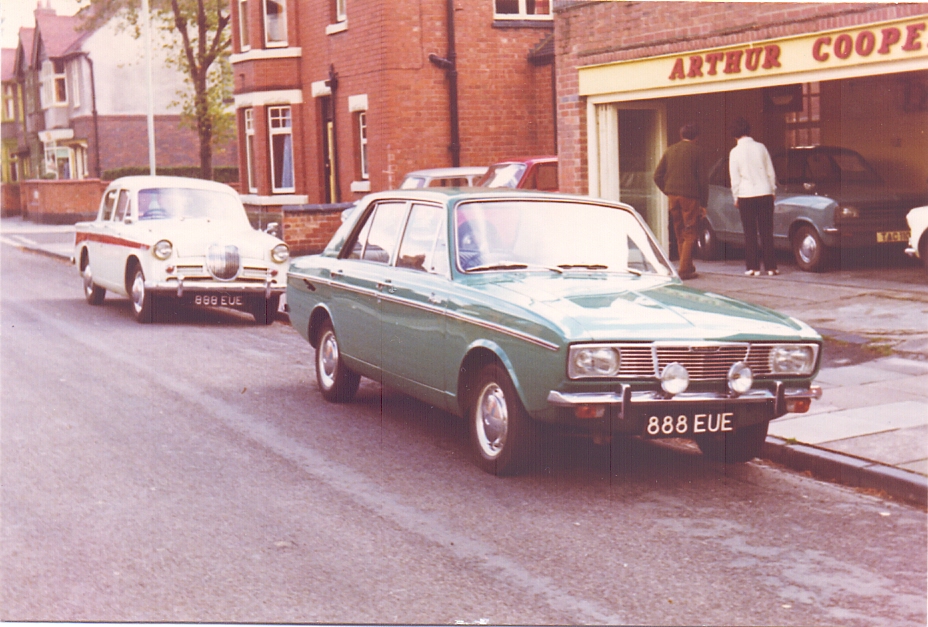
Two views of Arthur Cooper Cars, Princes Avenue, Chilvers Coton. Geoff is about to trade in one of these cars for a replacement. (Geoff Edmands)
Picture

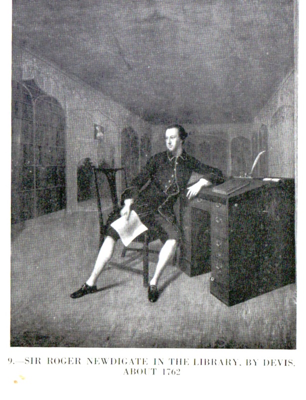
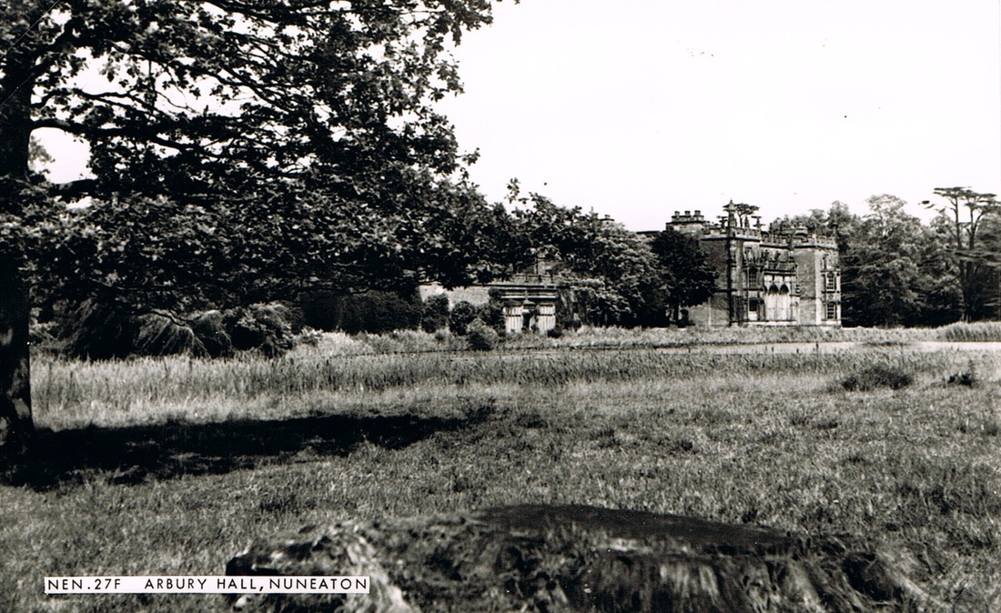
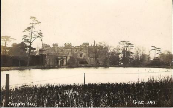
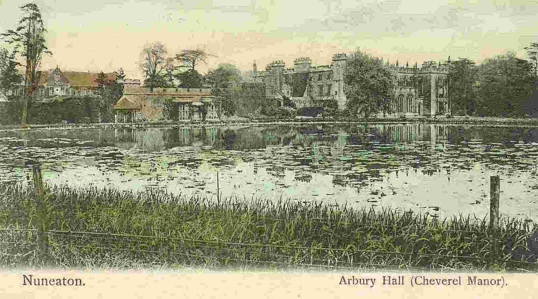
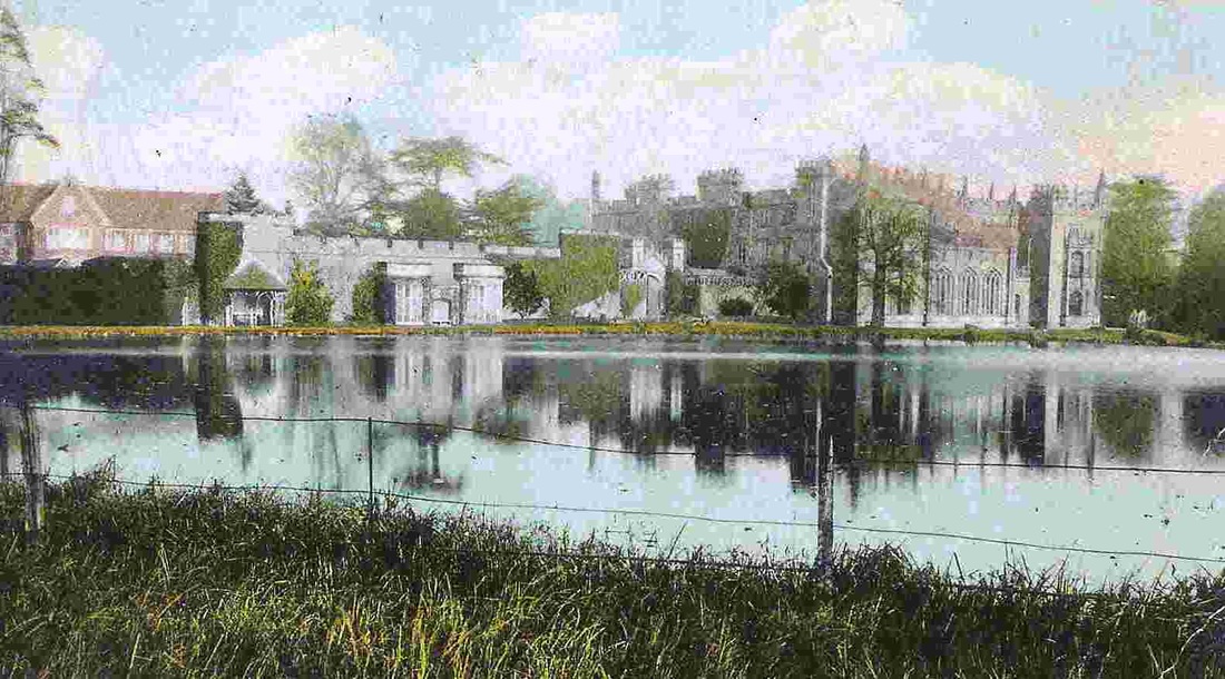
Arbury Hall (seat of the Newdigate Family)

Picture
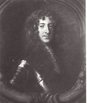
Sir Richard Newdigate.
Picture
(as illustrated in Country Life, 1953, courtesy Jean Lapworth)
Picture
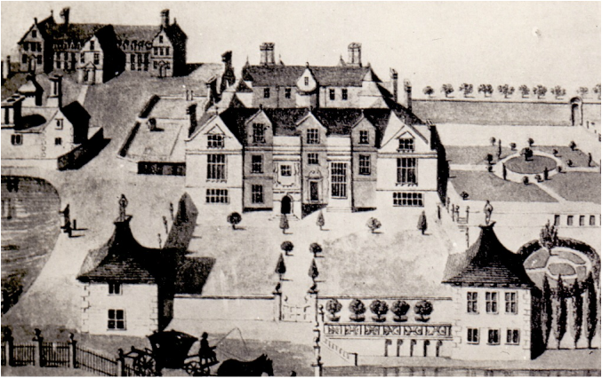
Arbury Hall before the Gothicisation carried out by Sir. Roger Newdigate. (Dr. A.W.A.White Collection)
Picture
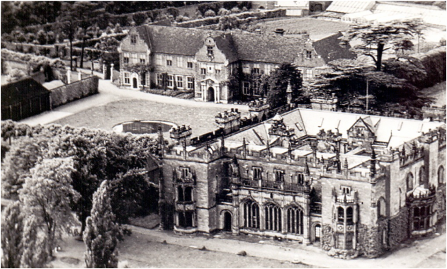
A modern aerial view - showing how the house was altered. (Dr.A.W.A.White Collection)
Picture
Picture
Picture
Picture
Picture
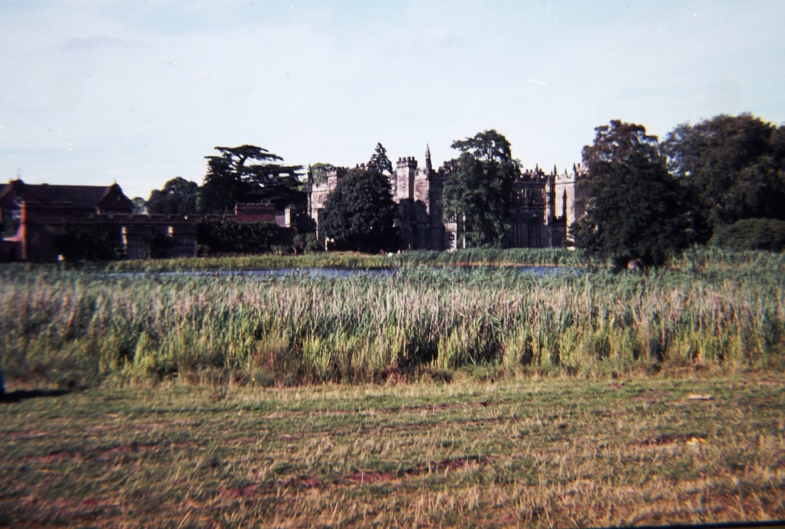
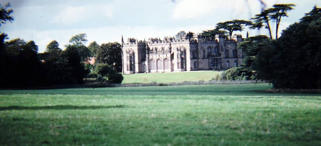
Arbury Hall 1974 (Alan Cook)
Picture
Arbury Hall 1975 (Alan Cook)
Picture
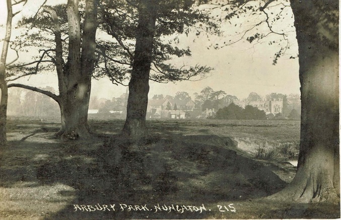
The idyllic grounds of Arbury Hall before WW1. (Jean Lapworth collection)
Picture
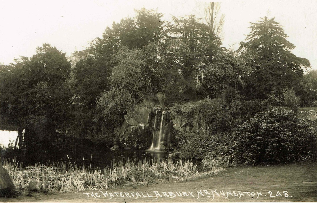
A waterfall in the grounds of Arbury Hall before WW1. (Jean Lapworth Collection)
Picture
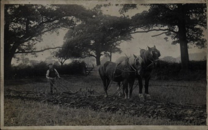
Ploughing horses on the Arbury Estate.
Picture
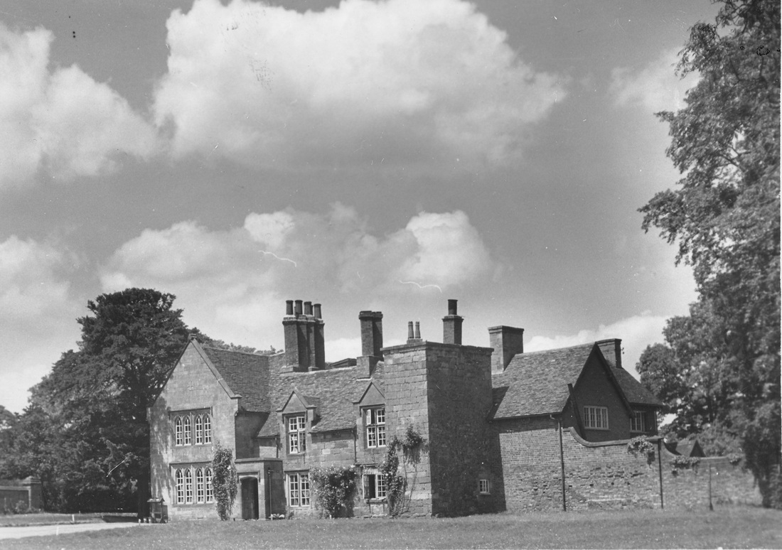
Arbury Hall (Geoff Edmands Collection)
Picture
Picture
Arbury Hall (Geoff Edmands Collection)
Picture
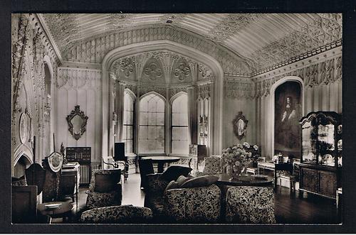
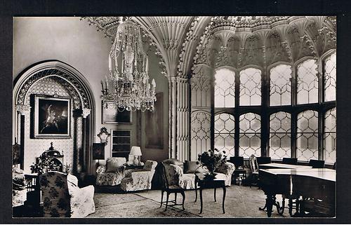
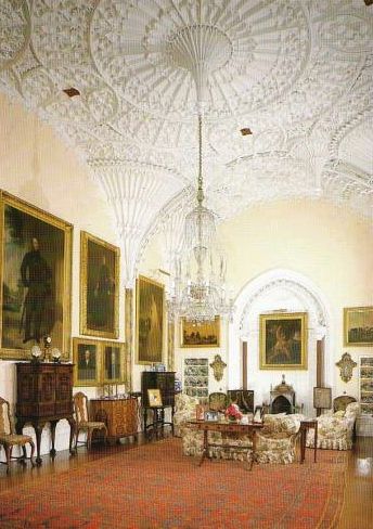
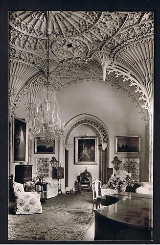
Arbury Hall, the Saloon.
Picture
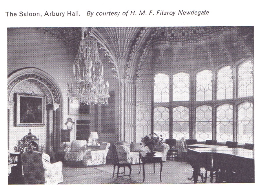
Arbury Hall, The Saloon. (Geoff Edmands Collection)
Picture
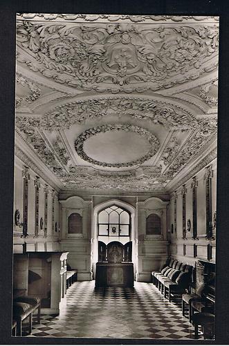
Arbury Hall Chapel (Geoff Edmands Collection)
Picture
Picture
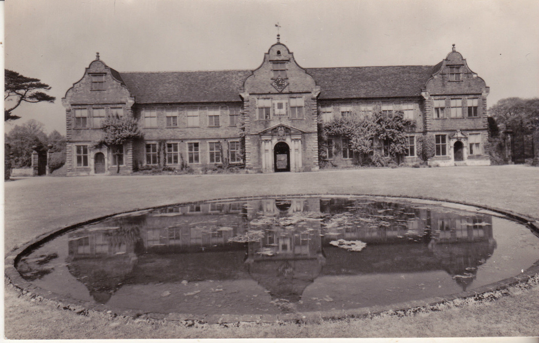
The magnificent stable block at Arbury.
Picture
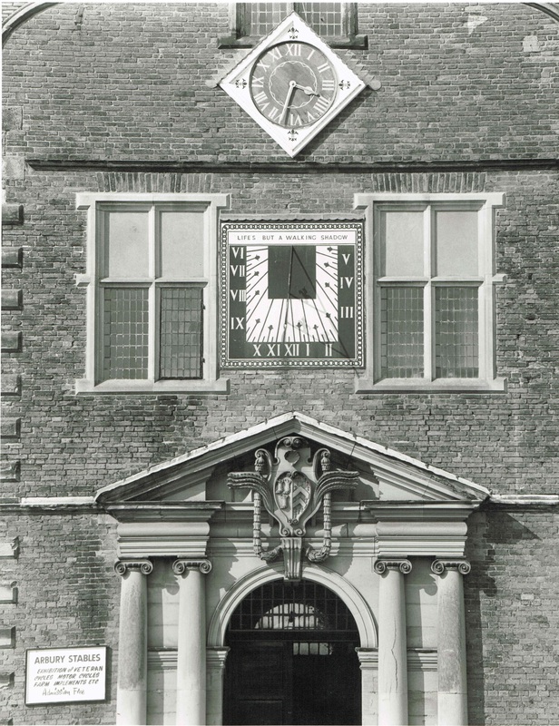
Arbury Stables - Doorway detail. Possibly by Sir Christopher Wren. (Jean Lapworth Collection)
Picture
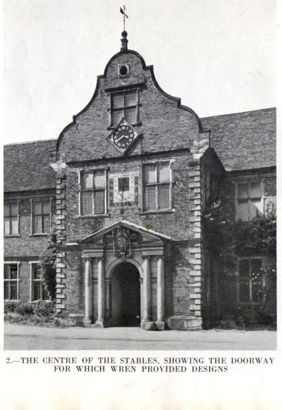
Arbury Stables (Country Life, 1953, courtesy of Jean Lapworth)
Picture
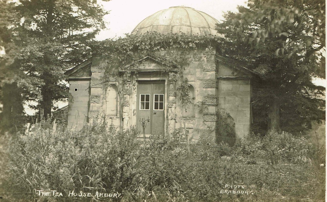
The Arbury Tea House, where members of the Newdigate family could take Tea in the summer. It was later used as a cottage on the estate but has now fallen into a ruin and may only now be a pile of stone today. (Jean Lapworth Collection)
Picture
Picture
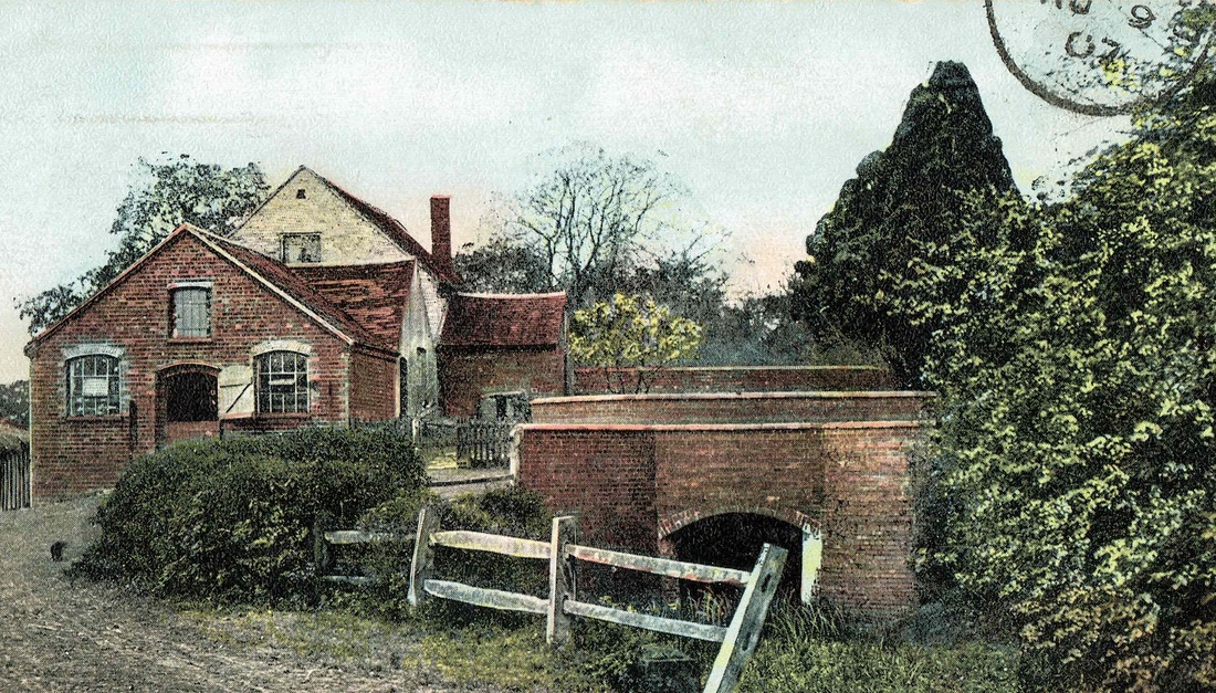
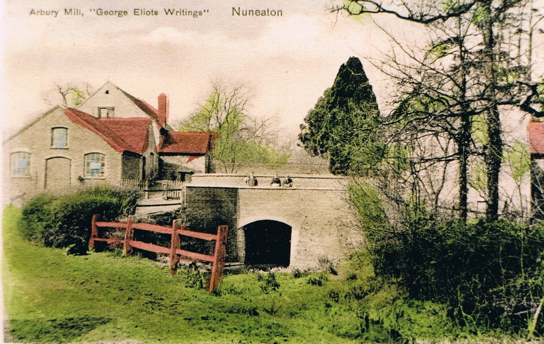
Arbury Mill (The Mill on the Floss) (Jean Lapworth Collection)
Picture
Picture
Temple House, Arbury.
Picture
A wintry visit to Temple House on the Arbury Estate. (Geoff Edmands)
Picture
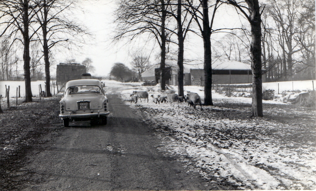
Amongst the sheep near Temple House in Arbury Park, Nuneaton. Geoff's December 1962 Singer Gazelle on 27th December 1968. (Geoff Edmands 1/25:F:8 (Woolworth's Film) Nr. 4497)
Picture
Picture
The garden in front of South Farm on the Arbury Estate. Birthplace of George Eliot, Mary Ann Evans 1819. (Alan Cook)

The Hamlet of Griff, in the parish of Chilvers Coton
Picture
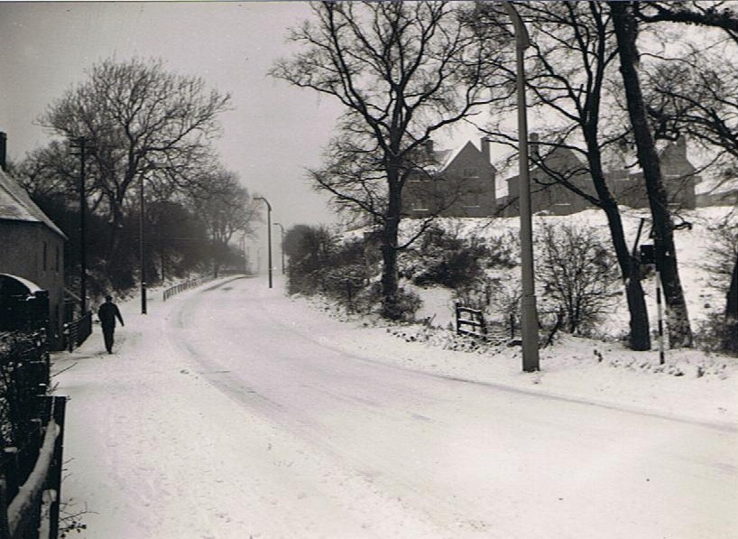
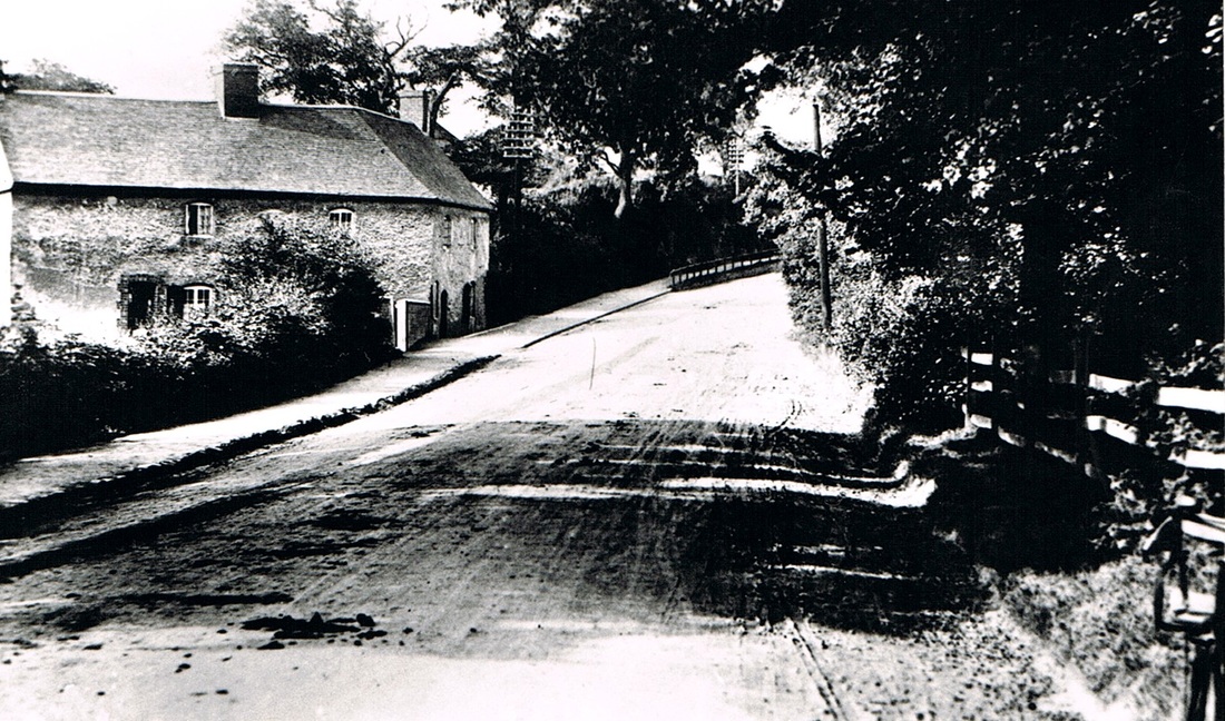
A wintry Griff Hollows 1956. (Geoff Edmands)
Picture
Picture
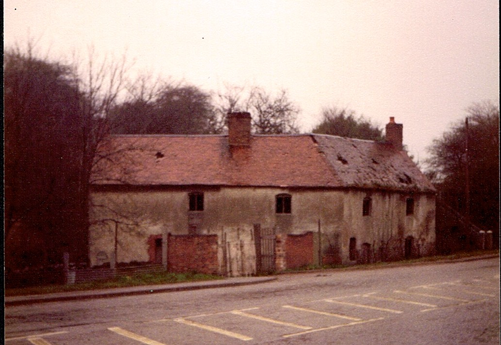
The old Inn in Griff Hollows. This old pub ceased to serve ale in the mid 19th century and seems to have been occupied solely as one or more dwellings thereafter. When it was a pub it had the name "The Bloody Hand" because the pub sign had a red hand on it the significance of which is open to research. The last family to live there did so between 1930 and 1964. The tenants were Fred Hunt and a Mr. Coleman, both employees of the quarry company. Within living memory the old pub sign board showing the Bloody Hand was still at the pub in the rear underground cellar. Many thanks to Mr. Hunt whose family once lived there for 34 years and has contacted me to update the picture. (Fred Phillips Collection)
Picture
Griff Hollows 28.2.1957. The old "Bloody Hand" public house in the middle distance. (Geoff Edmands)
Picture
I took this photo of the Bloody Hand Inn in the 1970s by which time it was derelict and ready for demolition. The old pub sign probably still lingered in the cellars even then. (Peter Lee)
Picture
Looking north from the old road at the southern end of Griff Hollows, near Nuneaton for the then new Bedworth By Pass taking shape on the right. 1st May 1969. (Geoff Edmands 1/25:F.2.8 (Woolworths Film) Nr. 4529)
Picture
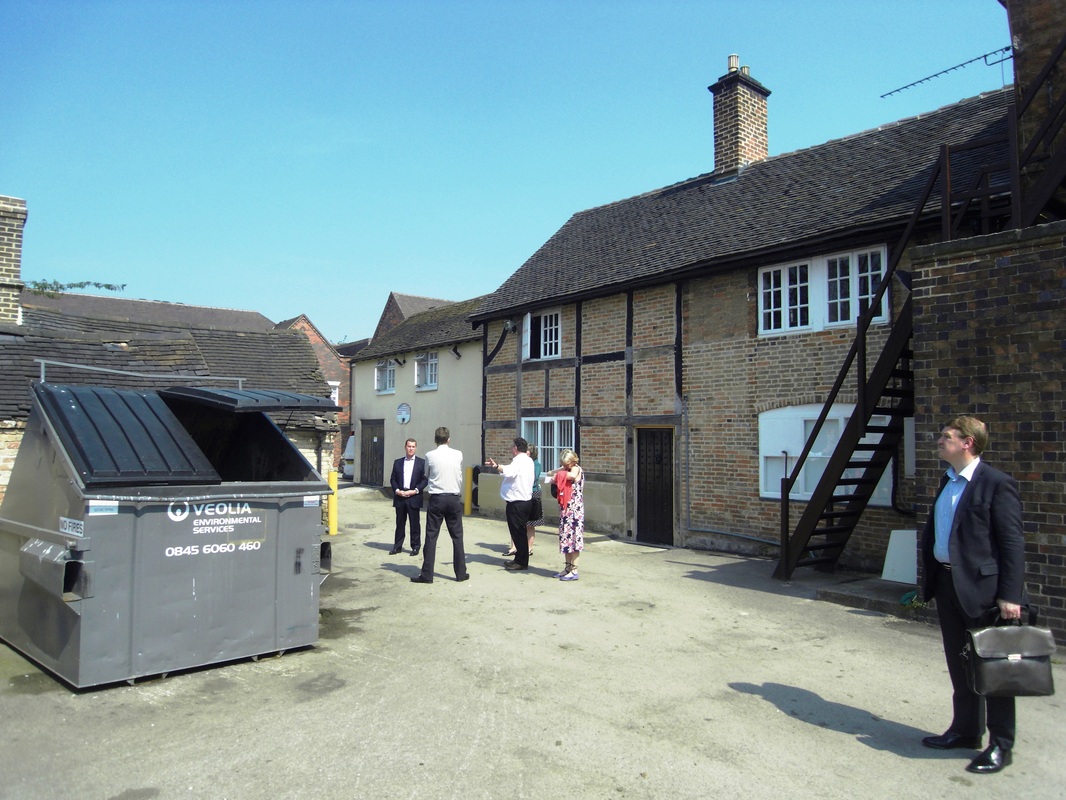
Members of the Nuneaton Civic Society, the George Eliot Fellowship and Whitbread plc. inspect derelict out buildings which are under threat due to their dilapidated condition which are associated with George Eliot who lived at Griff House. As a result of this specific meeting Whitbread plc kindly agreed to assist with the entire reconstruction of the derelict outbuildings and the George Eliot Fellowship and the Nuneaton Civic Society intend to turn the buildings into a George Eliot Study and Visitor Centre. A great example of collaboration which was spurred by pressure brought to bear by people who wanted to see this small part of George Eliot Country saved for posterity. The derelict buildings are on the left and the timber framed building on the right is the beautifully restored original Griff House farm house. (Peter Lee)
Picture
Bob Jakins Cottage. (Peter Lee)
Picture
Picture
The cottages at the border of Griff and Collycroft. (Peter Lee)

Beautiful Industrial Griff with remains of the coalfield evident in the fields.

Picture
(All Four Photos - Peter Lee)
Picture
Picture
Picture

Chilvers Coton - continued

Picture
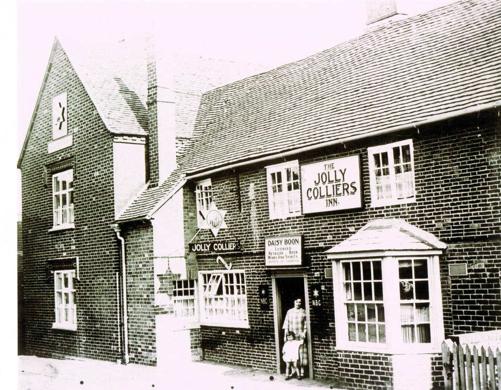
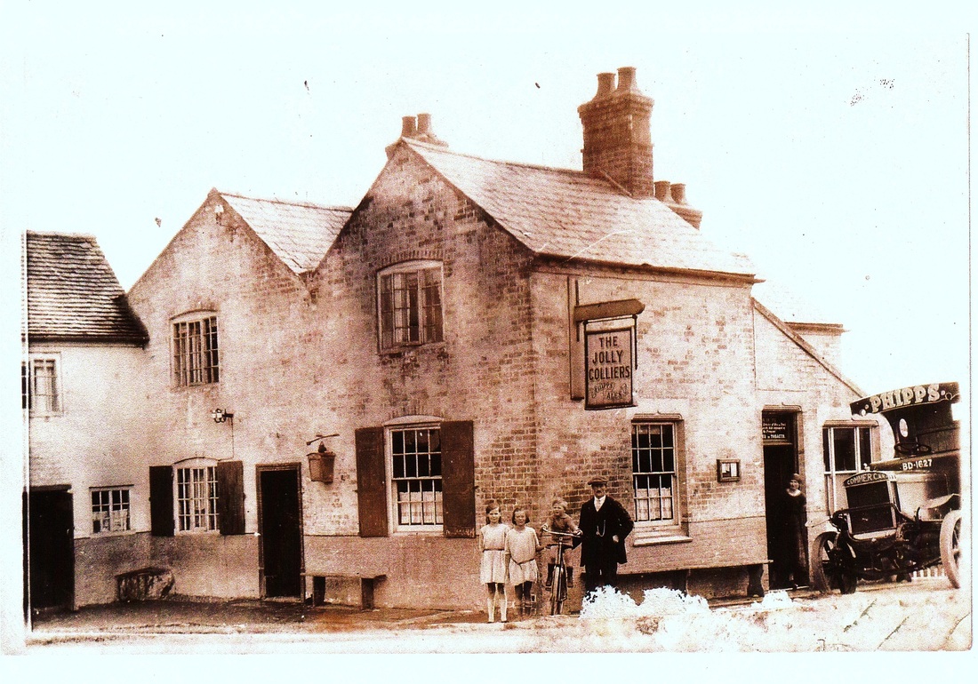
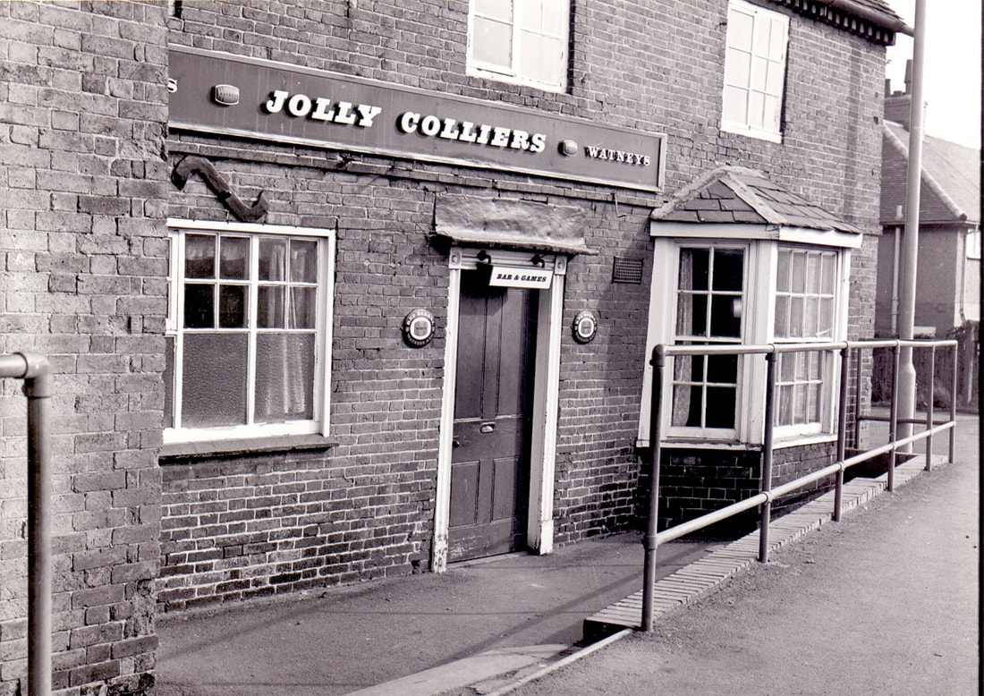
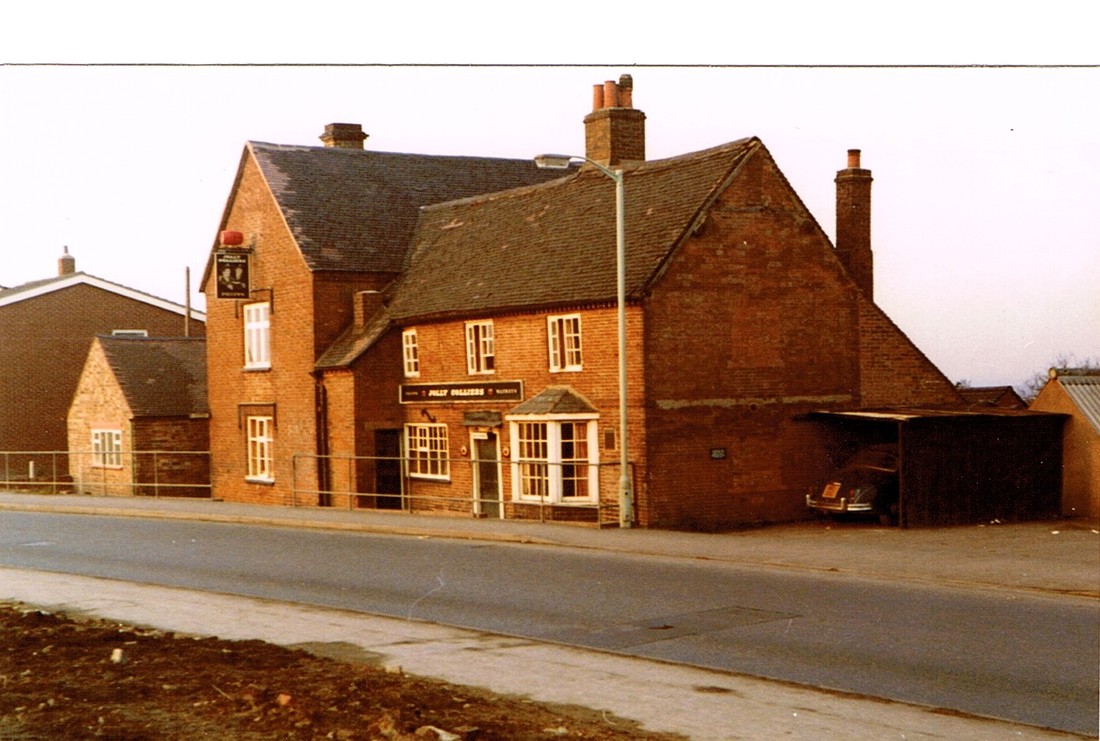
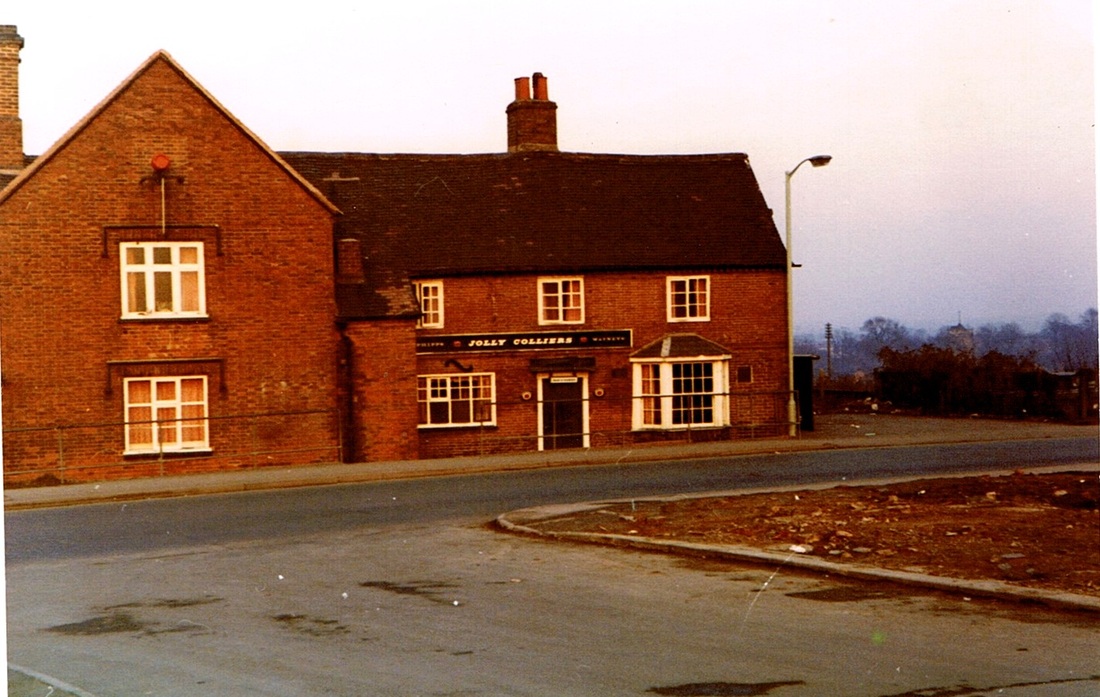
The Jolly Colliers Pub at Chilvers Coton was owned by the Mallabone family for 100 years. (Charlie Mallabone)
Picture
Round the back of the Jolly Colliers, in the 20's probably. The Phipps lorry was delivering ale from the Brewery in Northampton. (Rod Grubb Collection)
Picture
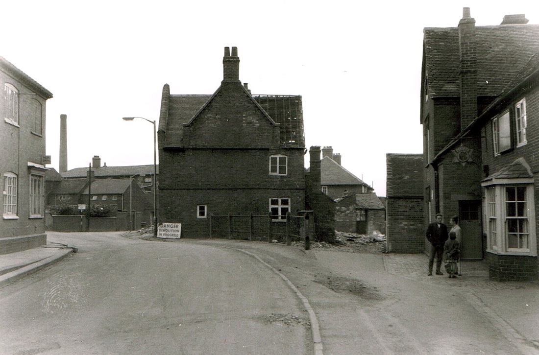
The Jolly Colliers on the right, old properties are being prepared for demolition in College Street to build the new ring road. The chimney is for the boiler house at the back of the College of the Poor or Chilvers Coton workhouse. (Geoff Edmands)
Picture
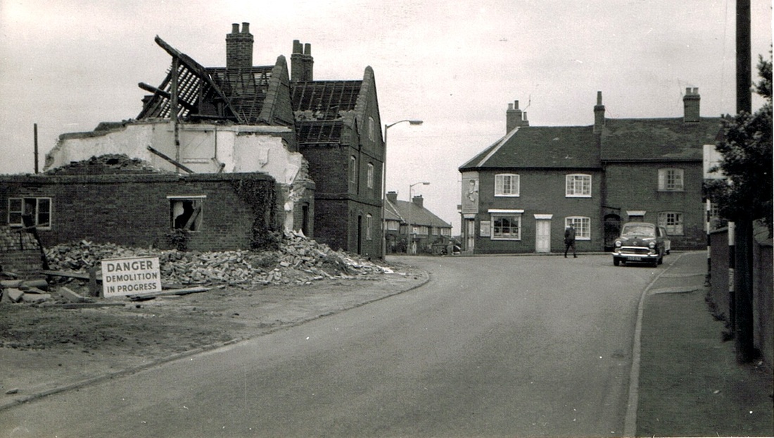
College Street looking towards The Jolly Colliers hidden behind the part demolished house on the left. The houses on the right stood in the middle of the current traffic island. (Geoff Edmands)
Picture
A close up of the front of the Jolly Colliers. (Reg. Bull / Courtesy of Ruby Atkins / NLHG Archives)
Picture
Picture
The Jolly Colliers closed and just prior to demolition. The Nuneaton - Bedworth dual carriageway would be driven through the site of this building. (Geoff Edmands)
Picture
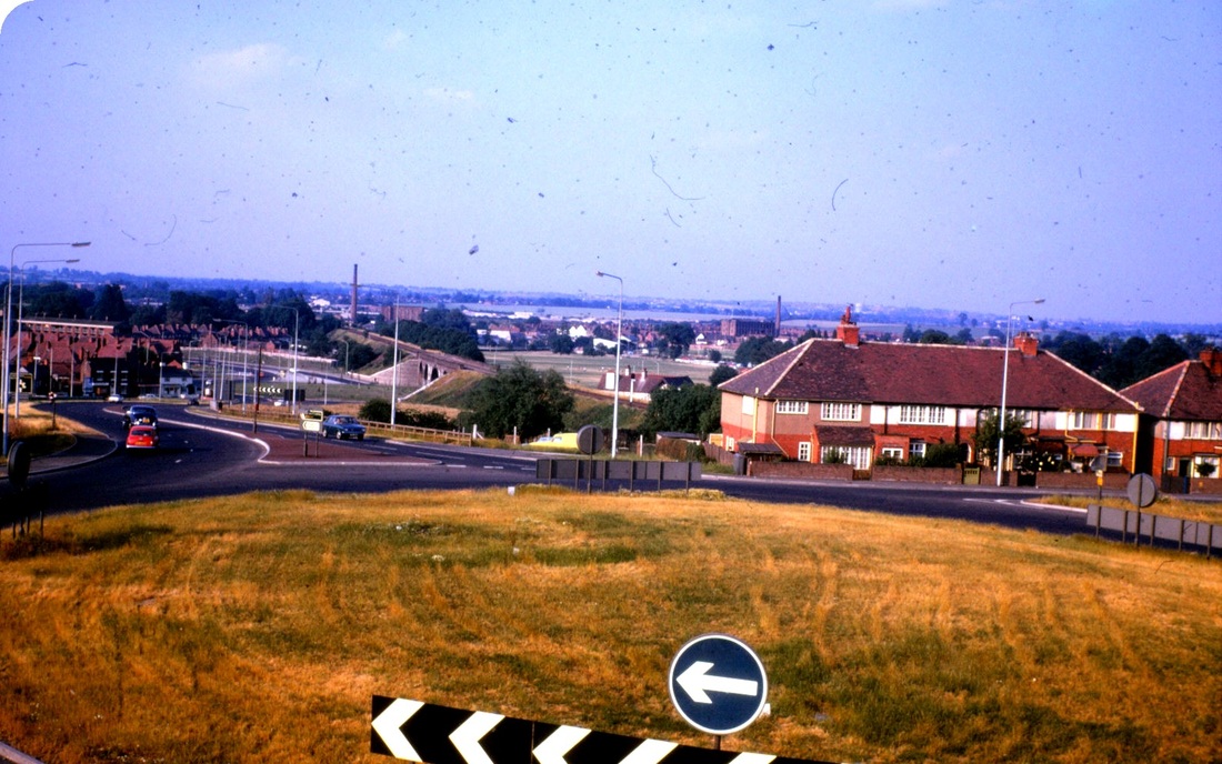
The Jolly Colliers pub stood in line with the houses on the right in College Street on the edge of the island just about where the red car is descending into Nuneaton. Photo taken from the Banana Bridge, which serves today as one of Nuneaton's iconic landmarks. (Fred Phillips)
Picture
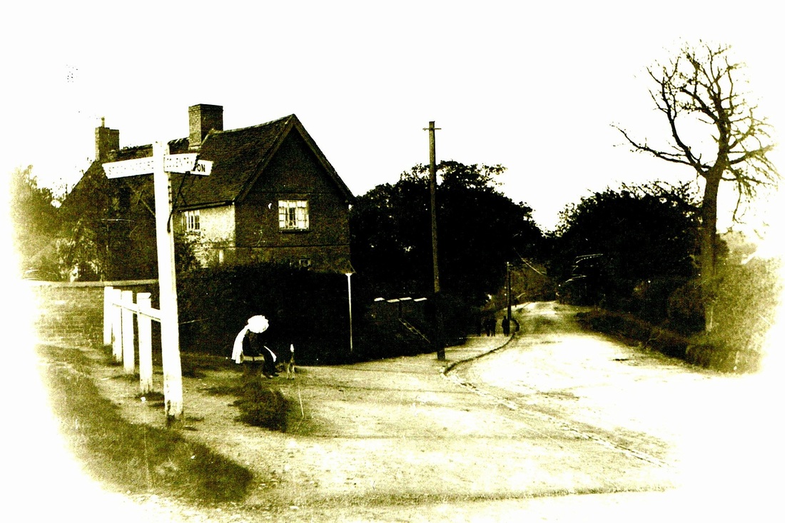
Virgins End, Chilvers Coton. Today this is the junction between Coventry Road and College Street. it was known as Virgin's End (one of the four "ends" in Chilvers Coton because at one time legend has it that there was a shrine to the Virgin Mary for the small group of Catholics worshipping in the village). Nearby in cottage behind the finger post was the "Virgin's Inn"

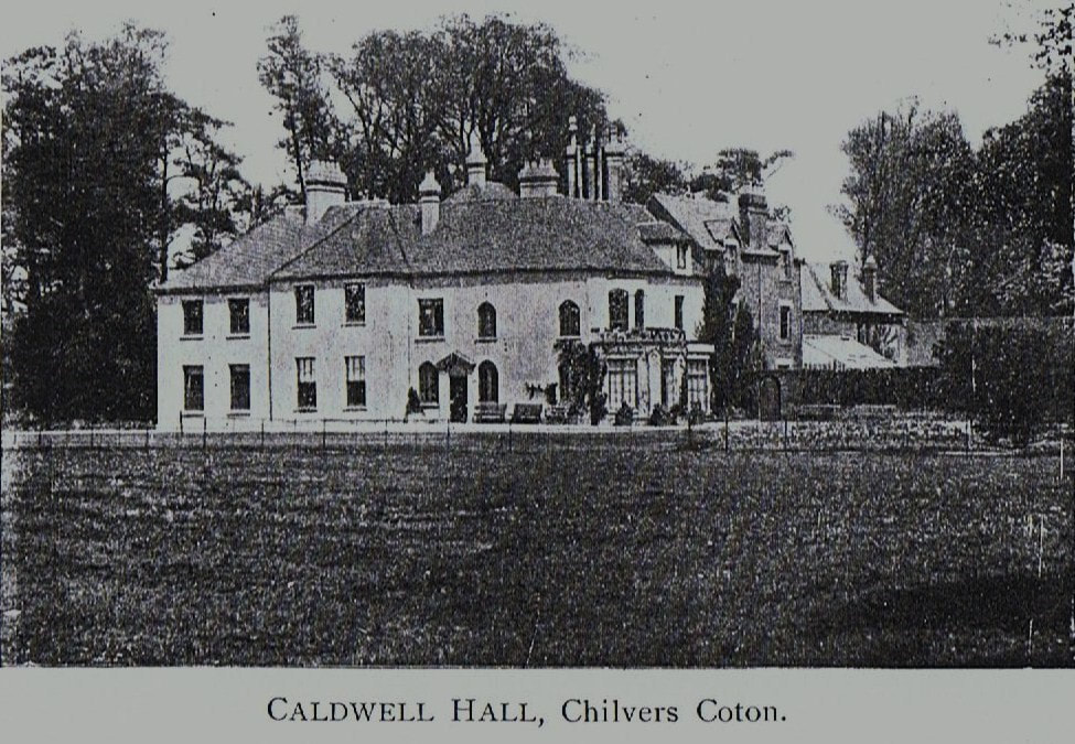
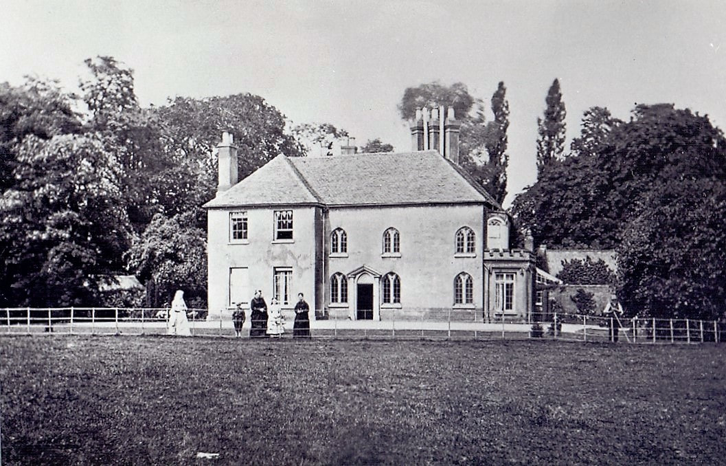
Coton Hall, (better known as Caldwell Hall) seat of the Harpur Family.

Picture
(NLHG Archives)
Picture
Caldwell or Coton Hall which stood until the late 1940's in Avenue Road. The name Caldwell derives from the Harpur family's estate near Kidderminster also named Caldwell. Although its proper title should be Coton Hall. (Reg. Bull Collection / Courtesy of Ruby Atkins / NLHG Archives)
Picture
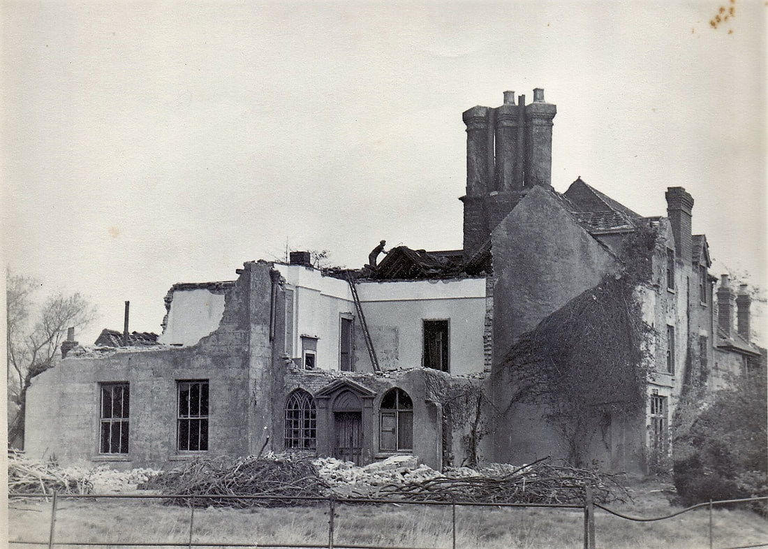
The demolition of Caldwell Hall. Late 1940's. (Reg. Bull / Courtesy of Ruby Atkins / NLHG Archives)
Picture
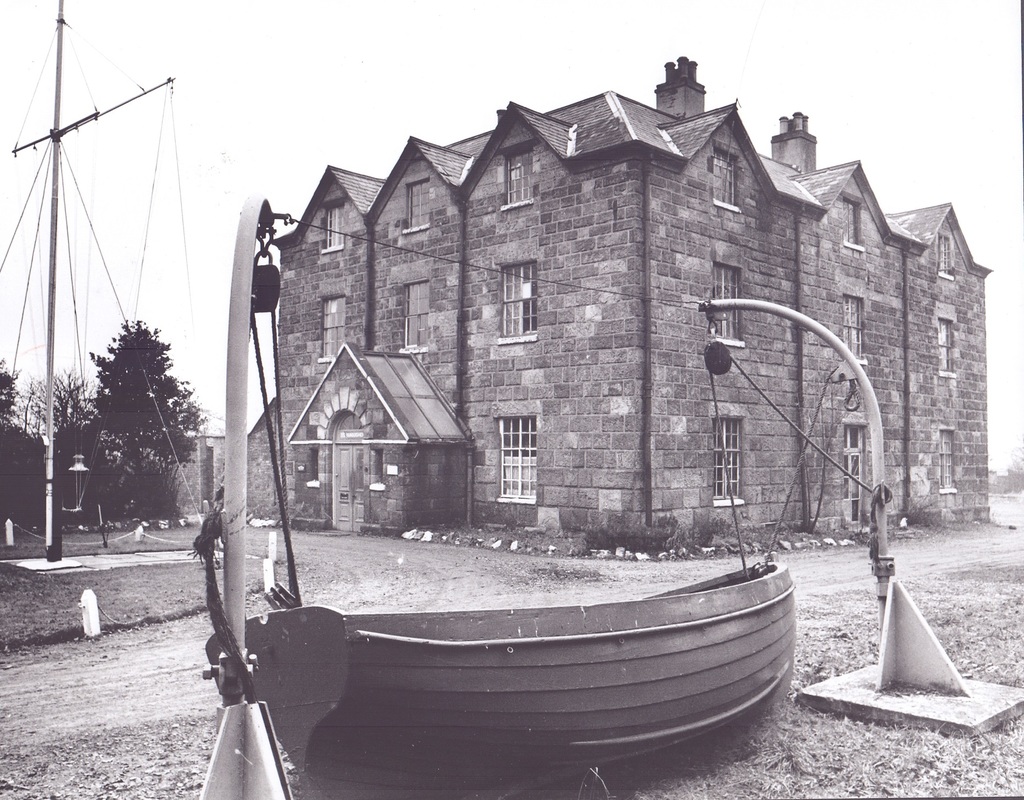
Coton House, Coventry Road, Nuneaton, here in use as HMS Vanquisher headquarters of the Nuneaton Sea Cadets. January 1968 (B. Wood)
Picture
Aftermath of the fire that destroyed Coton House. (Alan Cook)
Picture
The Rev. M.W.Mansbridge tries to persuade Dorothy Edmands to enter some type of competition, on Coton Road on 29th June 1968. A real period piece. (Geoff Edmands)
Picture
Coton Arches looking towards Coton Road and Nuneaton. (Reg. Bull / Courtesy of Ruby Atkins / NLHG Archives)
Picture
Chilvers Coton junior school with Miss Pallett their headmistress. 1902. (Jean Lapworth Collection)
Picture
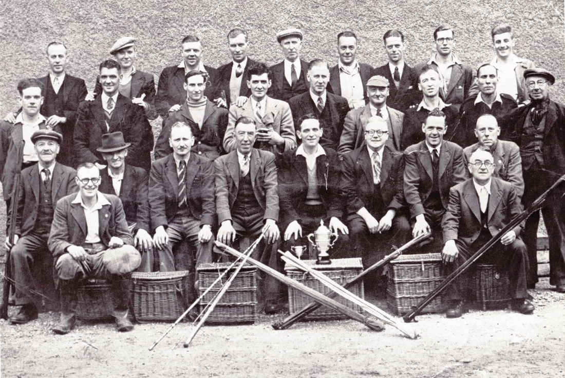
Chilvers Coton Fishing Club display their trophies. Fourth from the left back row. Edward Storer (1901-1964?) (Ian Storer)

Bermuda Village

Picture
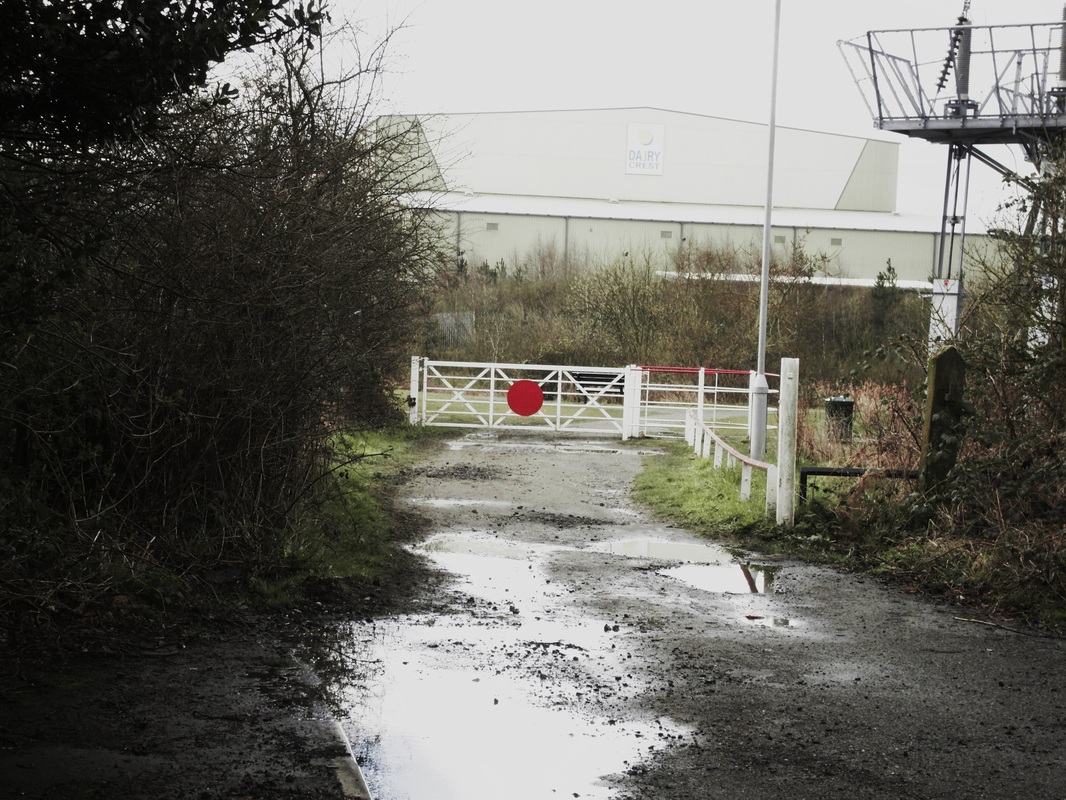
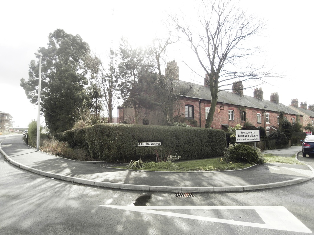
Bermuda Village, The "new" level crossing gates mark the site of the original level crossing which took the Griff branch from Griff Junction to the coalpits locally, Stanley Brothers 1-5 brickyards and Haunchwood Nrs. 2 & 3 yards. At this point the branch was operated by the main line rail company (the LNWR, later BR) whereas the local colliery company had running powers over the Griff branch to move between collieries. The railway company had a company house for the benefit of the branch foreman who had entire control from the level crossing up the branch. There was a small signal cabin at this point that interlocked with the Griff Junction box on the Coventry line and main line freight trains were despatched from here to the main line after being made up in the extensive sidings at Griff. Beyond the level crossing we see here the road went on to the Griff canal arm, and these were served by sidings to discharge coal into the barges. Beyond that a narrow lane went through to Griff hamlet. Now the way is blocked by a large industrial temperature controlled shed for Dairy Crest warehousing cheese. (Peter Lee)
Picture
Picture
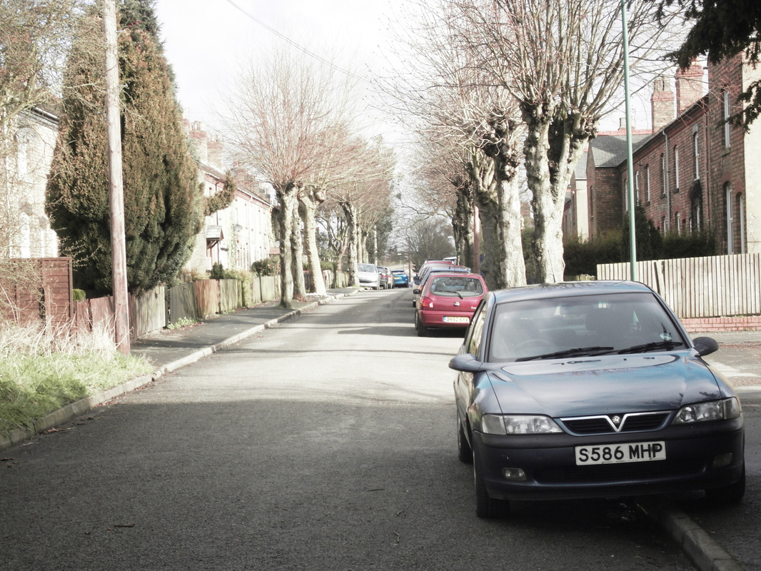
Bermuda Village (Peter Lee)
Picture
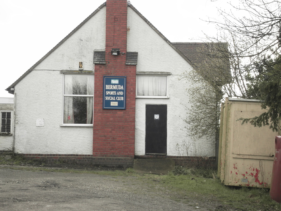
Bermuda Sports & Social Club (Peter Lee)
Picture
Charlie Wilson, coal miner of Bermuda Village in typical miner's outdoor clothes.

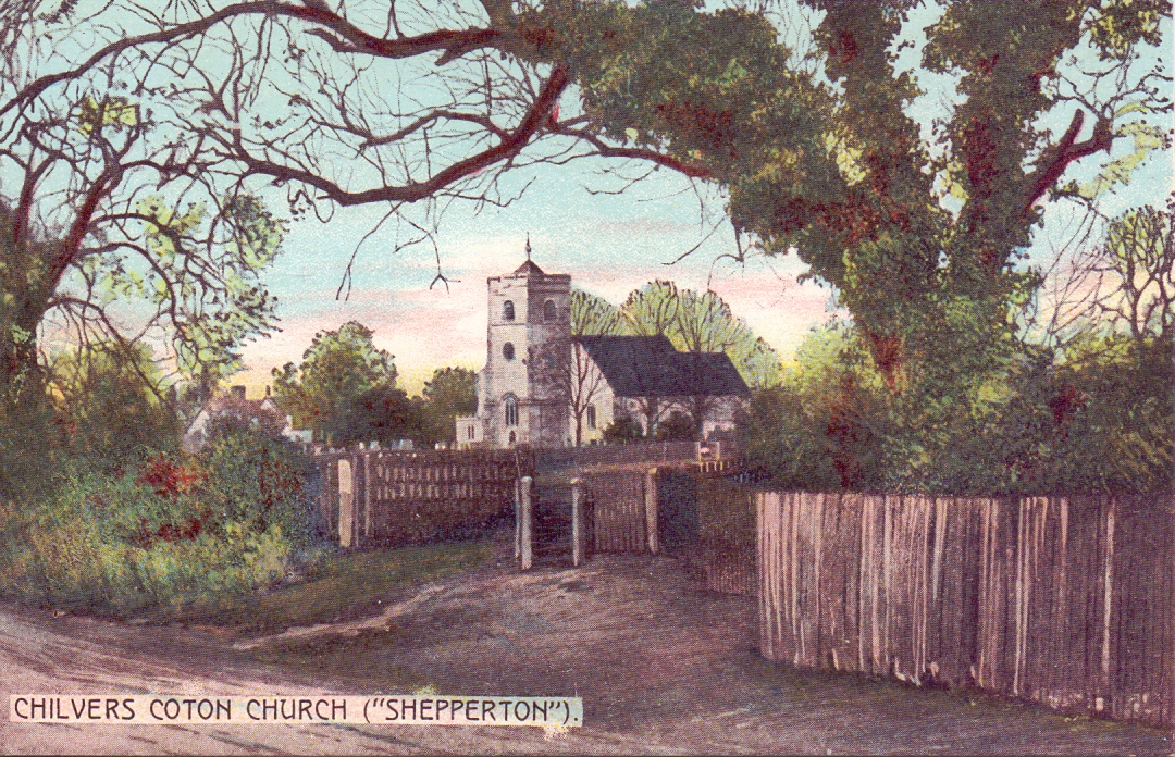
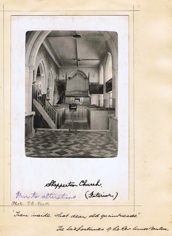
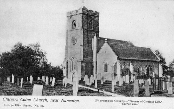
Chilvers Coton Parish Church (Shepperton church in the novellas of George Eliot)
Picture
(Geoff Edmands Collection)
Picture
Picture
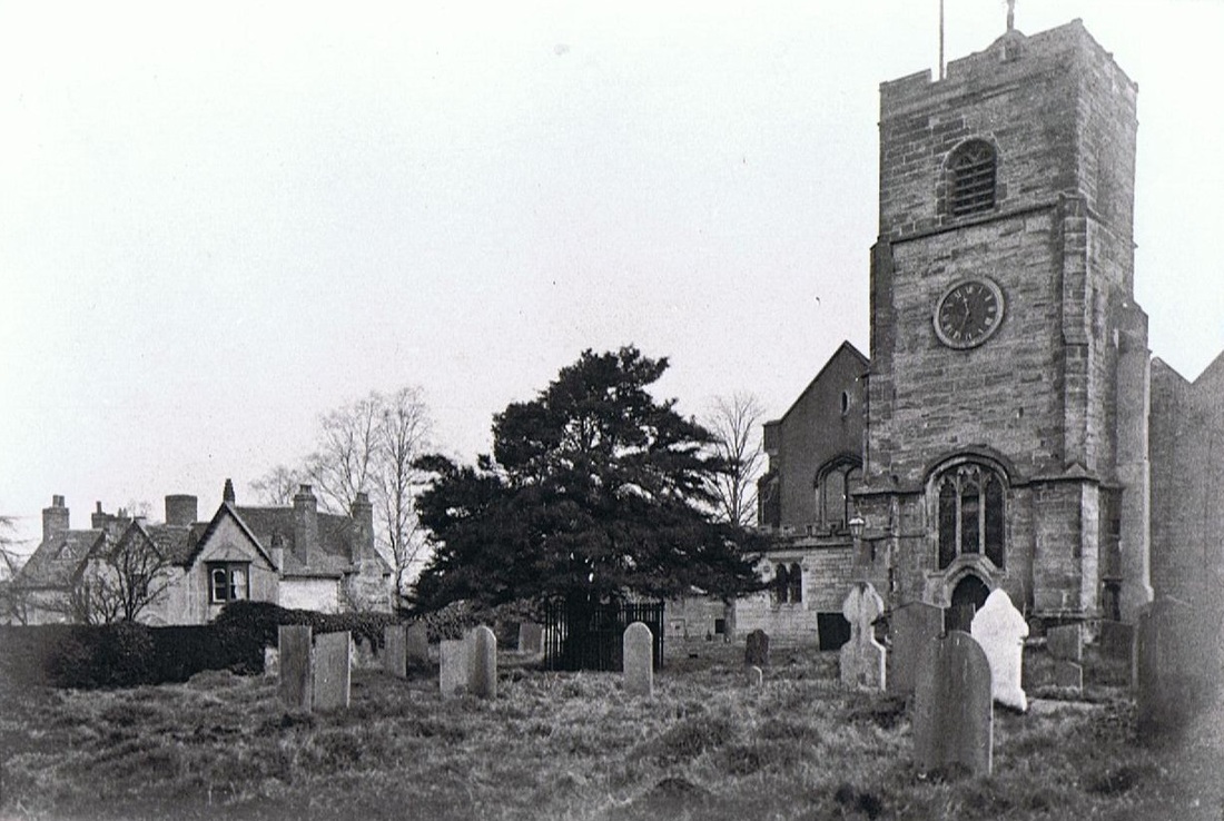
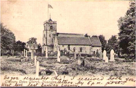
Chilvers Coton Parish Church
Picture
Chilvers Coton Parish Church and old vicarage.
Picture
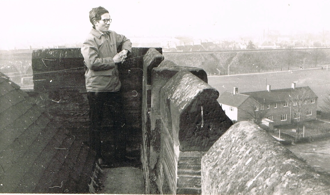
A view from the top of Chilvers Coton church tower in the 1960's. The view will not have changed much today. The council houses to the right are still there. The open space of the Pingle Fields is still there but today you might see the fence surrounding the running track from this viewpoint. The Nuneaton-Coventry railway line cuts across the picture and on the extreme left you can see Coton Arches. Beyond the railway embankment the streets of Chilvers Coton stretch away. (Geoff Edmands)
Picture
Picture
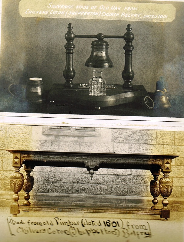
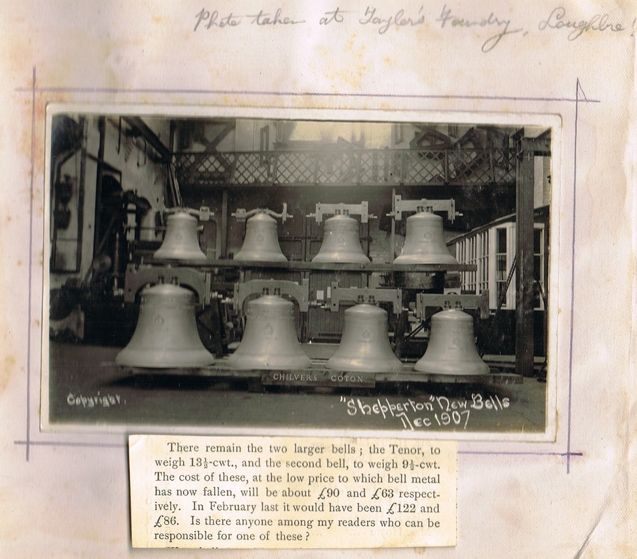
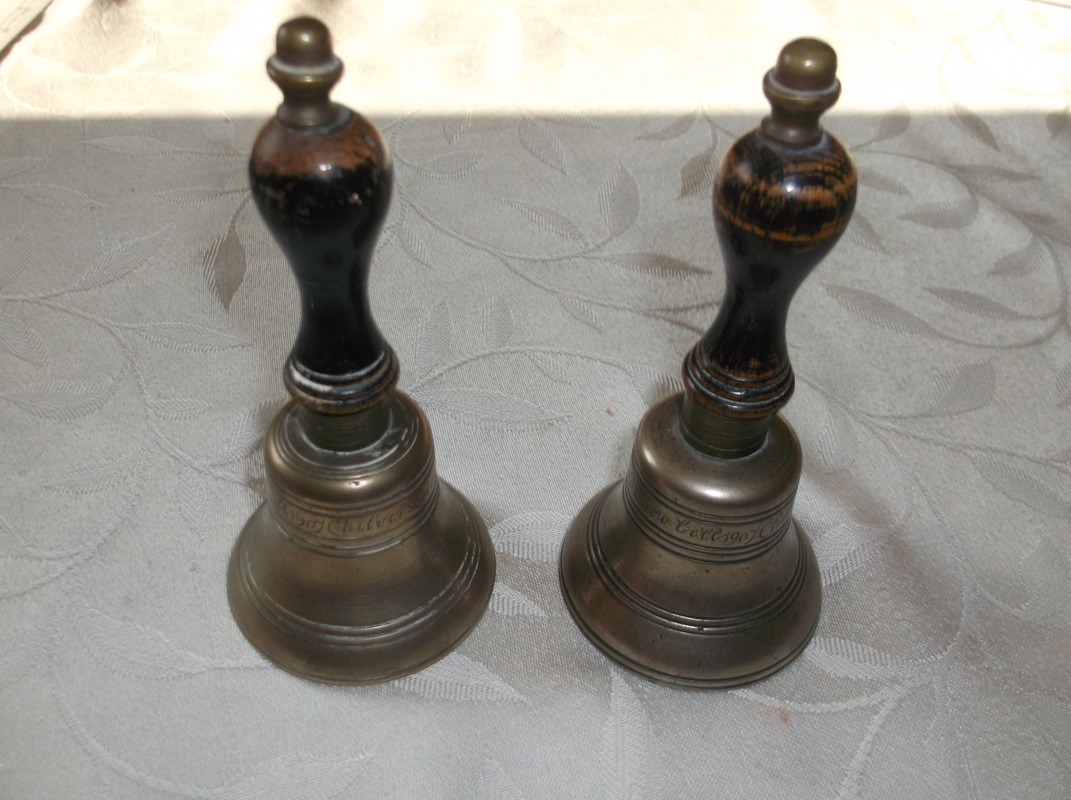
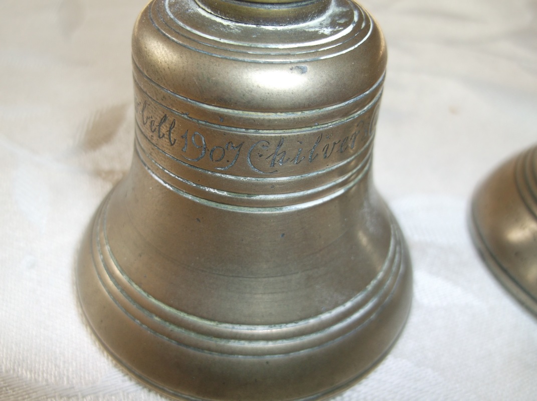
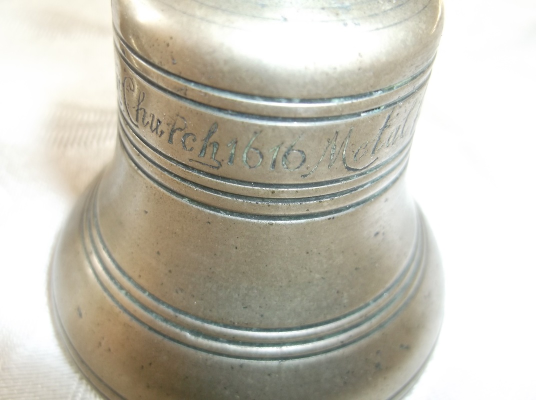
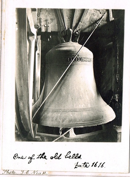
One of the old bells at Chilvers Coton church which was cast in the year 1616 (The same year William Shakespeare died). This was melted down and re-cast at the Loughborough bell foundry in 1909. For many years one of the peel of bells at Chilvers Coton church was cracked which led to them being called "Coton's discordant bells" but in the 1900's a money raising scheme was entered into by the bell ringers to replace the bells with a brand new set. Some of the metal left over from the re-casting was made into hand bells which were given to the bell ringers. Whilst the wooden frame taken down was re-fashioned into a number of wooden objects the most notable being a beautiful heavy table. Smaller pieces went into the handles for the hand bells, and other wooden objects. Nothing was wasted. (Thomas Courtenay Neath)
Picture
Picture
Picture
Two handbells cast in 1907 from the original bronze bell of Chilvers Coton church which dated from 1616. (Edmands Family Archives)
Picture
The handbells were given to the bell ringers of Chilvers Coton church as a memento of the date the new bells were cast in 1907. Here you can see the date on the bell. (Edmands Family Archive)
Picture
Both bells bear the date 1616 which was the date the original bells were cast. (Edmands Family Archives)
Picture
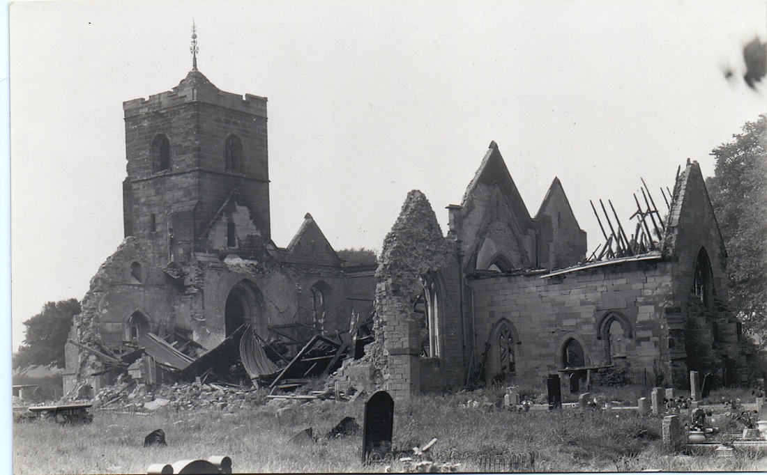
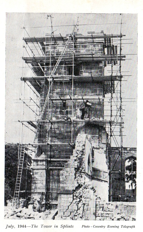
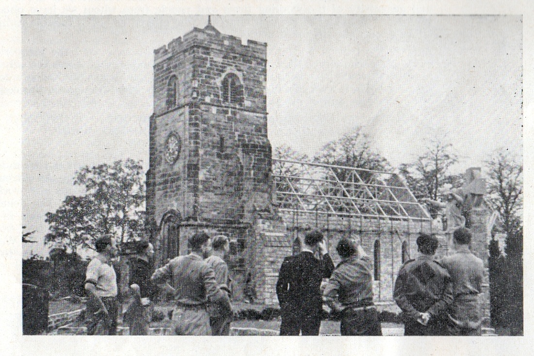
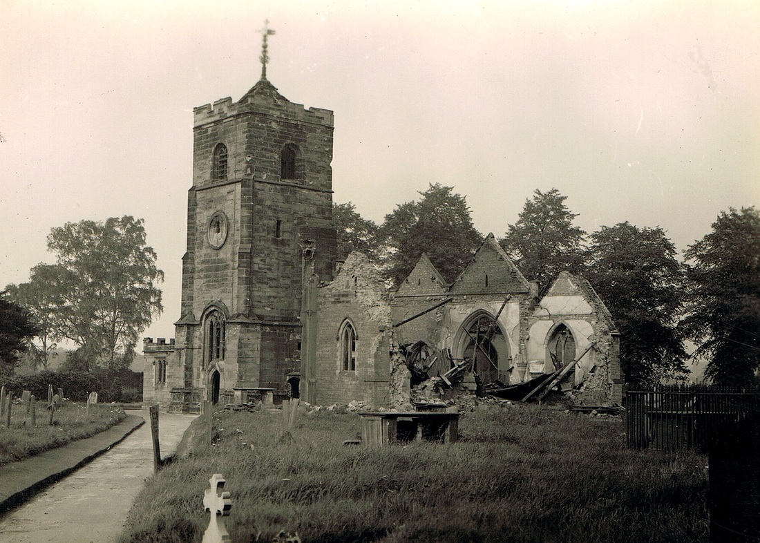
The day after the incendiary bombs clattered on to the roof of Chilvers Coton church and burnt it out. 17th May 1941. (David Gamston Collection)
Picture
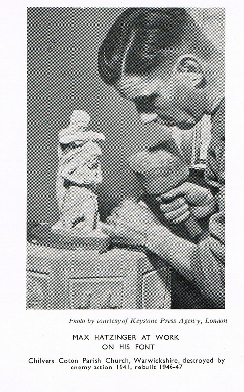
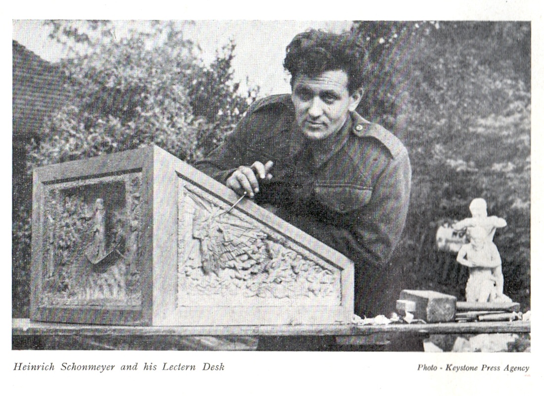
For a time Coton church looked like this. It was bombed in May 1941. The damage was caused by incendiary bombs that rained down on to its roof. The Luftwaffe were intent on bombing the railway lines in the area and the first wave of bombers dropped incendiaries to light the target. Unfortunately these incendiaries fell on to the roof of the church and despite fizzing away for some time they took hold and set the roof on fire and it fell in with the results you can see here. This scene was after the churchyard was tidied up because the debris outside the church has been cleared and in 1947 the church was entirely rebuilt. Unfortunately they did not rebuild it in the old style as it did not meet modern building regulations. A party of German PoW's at arbury camp assisted with the work which was an act of reconciliation. The Germans were, in the best English tradition, paid the same as the British workmen and had the same working conditions. (Geoff Edmands collection)
Picture
Picture
Picture
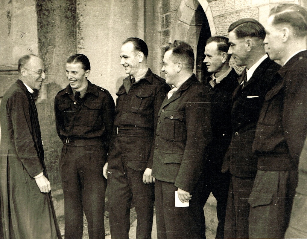
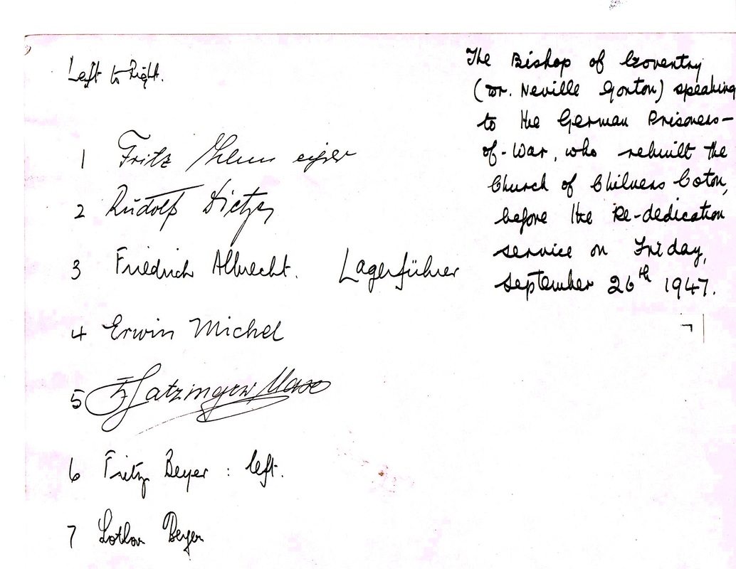
German PoW's who rebuilt Chilvers Coton Church (for their names and signatures see the document below) (Geoff Edmands collection)
Picture
The signatures on the rear of the photo above of the German Prisoners of War who rebuilt Chilvers Coton church after the war. After the end of the war it was impossible to return these prisoners to Germany until arrangements could be made for the vast number of displaced people in that country to be repatriated. Sending ex-German soldiers home would add to the turmoil so it took a couple of years for all the necessary arrangements to be made for these PoW's return to their homes back to their families. (that is, of course, if they still had families). In the meantime they were accommodated on the Arbury estate and these PoW's were tradesmen who were able to bring their great skills to bear in the construction of the church. They are: Fritz Thlur, Rudolf Dichter, Friederich Albrecht, Erwin Michel, Max Hatzinger, Fritz Beyer and Lother Beyer.
Picture
Picture
Picture
Picture
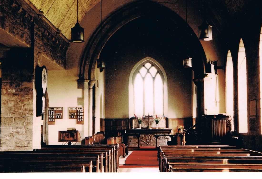
The interior of the reconstructed Chilvers Coton church June 1957. (Geoff Edmands)
Picture
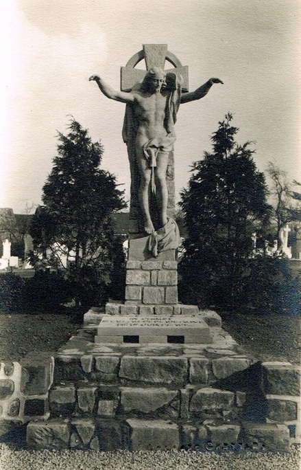
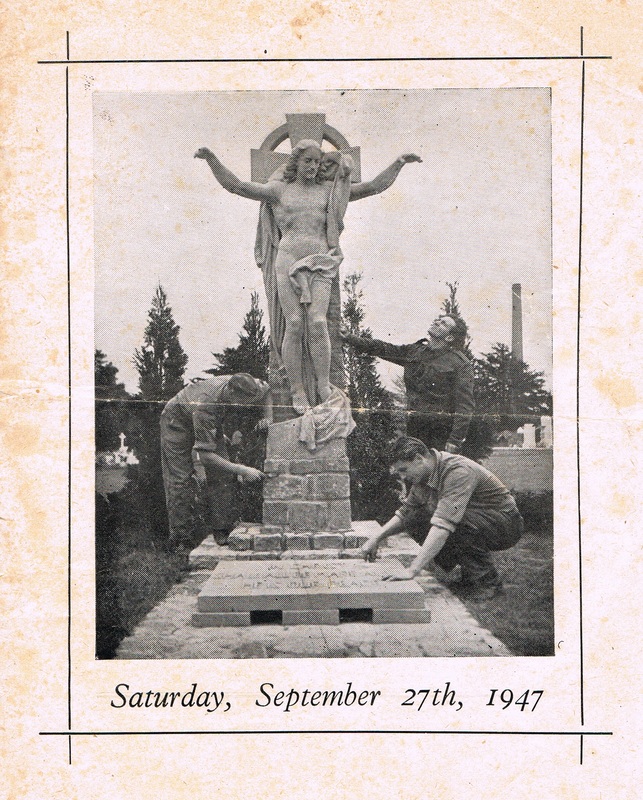
The most incredible work of art produced by Karl Weber which remains today in Chilvers Coton church yard is this statue. The remarkable thing about it is its made of concrete by hand over a wire mesh frame. (Geoff Edmands Collection)
Picture
A posed shot of the German PoW's who were involved in the erection of this fine monument. (The Edmands Family Archive)
Picture
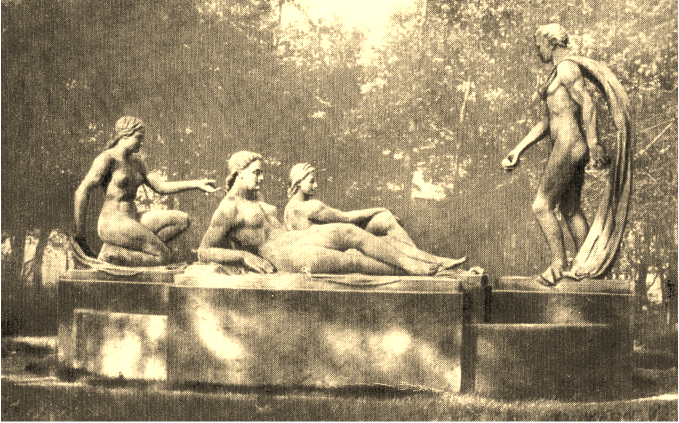
Another work by the German PoW, Karl Weber of Munich, was this statue "The Three Graces" which remained in Arbury Park after Karl Weber was repatriated to Germany. Its whereabouts today is unknown but one story is that a lorry collected it and took it to Coventry. If anyone knows its whereabouts, or its fate, I would be pleased to know.
Picture
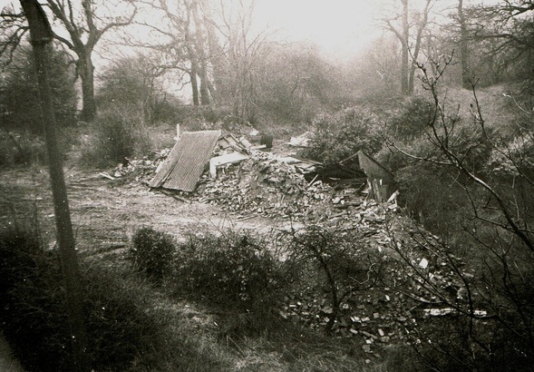
The famous cartographer Henry Beighton lived at Griff for many years in the cottage seen here as a pile of rubble. "Berresteads". No-one thought it might have been of historic importance back then. It looks as though a digger has simply gone in and trashed the place. (Geoff Edmands)
Picture
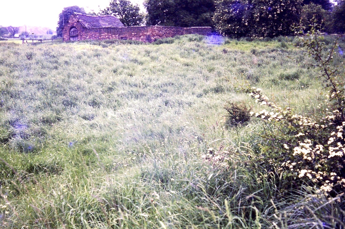
Old Griff countryside from the camera of Fred Phillips (Dr. Alan White Collection)
Picture
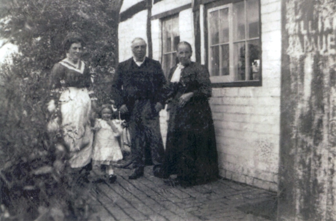
Griff - 1911/12. George Haslewood born in 1838 at Cropredy and Ellen (nee Lane) his wife born in Rowington in 1842 outside their tiny cottage at Griff. They were still working and living in three rooms with two grandchildren. (Jennifer Soan)
Picture
An old cottage at Griff by the Bottom River (part of the Arbury Communication Canal) [Fred Phillips from the Dr. Alan White Collection]
Picture
Old cottages at Griff (Fred Phillips in the Dr. Alan White Collection)
Picture
One of the old cottages which stood back from the Bull Ring at Chilvers Coton until the 1950's.
Picture
The workhouse in College Street, Chilvers Coton.
Picture
The Wharf Inn in Coventry Road, Chilvers Coton in the 1920's before the demolition and widening of the road bridge over the Coventry Canal.
Picture
The Wharf Inn in the 1950's. (Reg.Bull, courtesy Ruby Atkins)
Picture
Widening complete and the frontage of the Wharf Inn has been tidied up. On the extreme right of the picture is a building which used to be the boatmen's lodgings where the could stretch out after a night on the beer on straw mattresses.
Picture
Picture
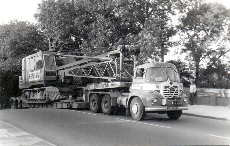
A heavy load grounded on the Wharfe canal bridge in 1974. (Geoff Edmands)
Picture
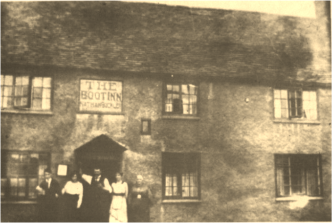
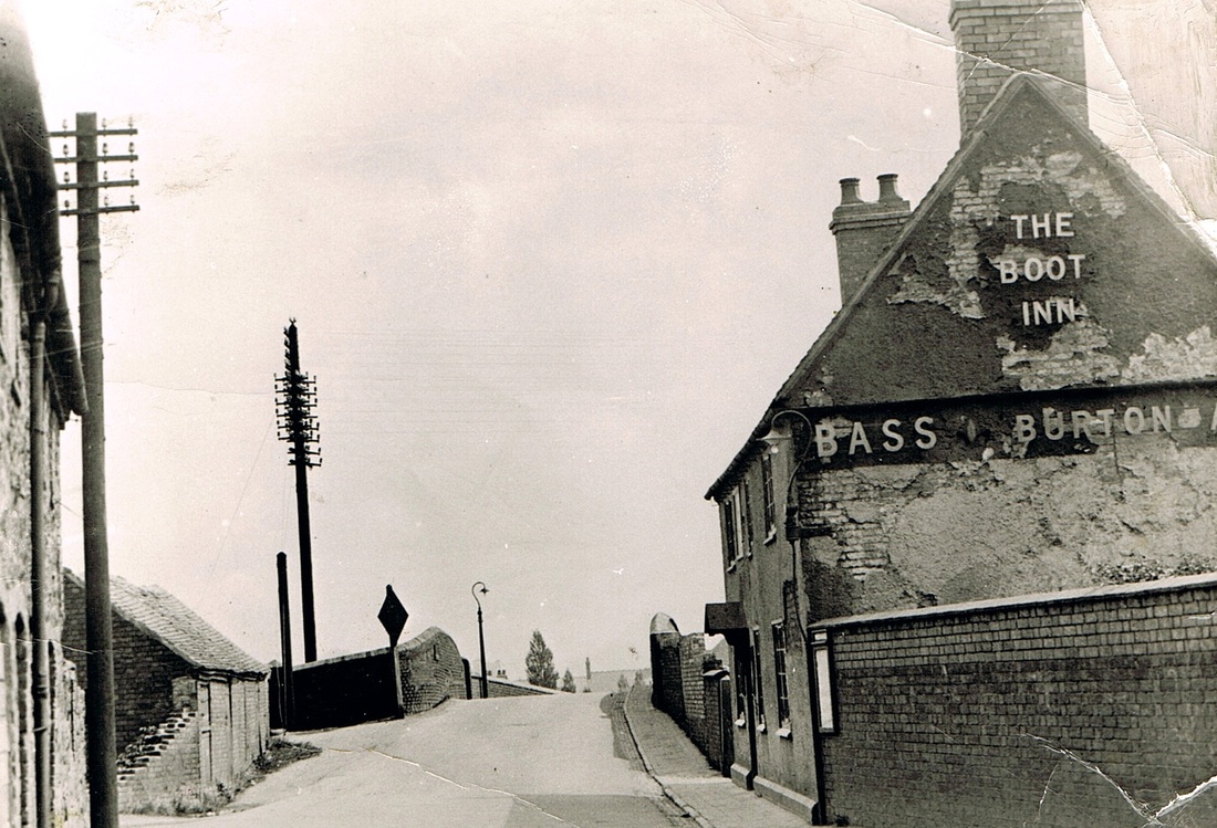
The old Boot Inn at Chilvers Coton by the canal bridge at the Bull Ring before demolition in 1939. There was a row of stone cottages on the left. Note the very narrow bridge over the Coventry Canal. The diamond shaped cast iron sign gave restrictions on axle loads for steam road engines traversing the bridge.
Picture
Picture
The old Boot Inn during the course of demolition for the widening of the Coventry Canal bridge. The new Boot takes shape behind.
Picture
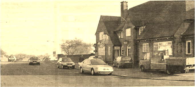
The replacement Boot Inn.
Picture
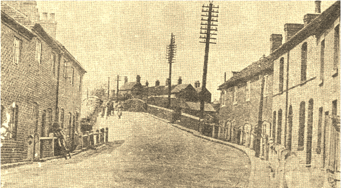
Bridge Street, Chilvers Coton before 1930. From an old newspaper cutting.
Picture
A front view of the "Horseshoes" pub. (Fred Phillips)
Picture
An old view of the Bull Ring at Chilvers Coton.
Picture
Heath End Road c. 1950 (Eileen Worthington)
Picture
A house in Heath End Road in the 1930's. (Anne Paling Lawson)
Picture
Heath End Road (a poor quality picture which I will replace when I can)
Picture
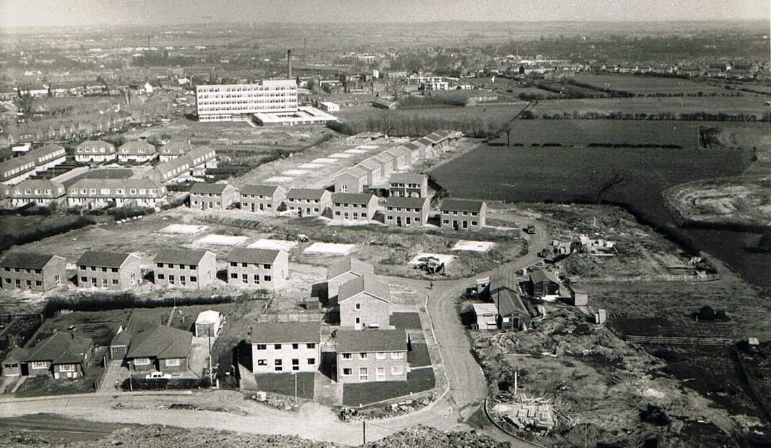
Heath End Road is on the extreme left and the multi story block is George Eliot Hospital (now the maternity block). New houses are going up on the old Paradise Colliery site which was once roughly in the centre of this picture. Somewhere under this estate there are coal shafts, but quite where is anyone's guess (Geoff Edmands).
Picture
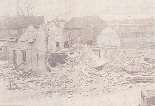
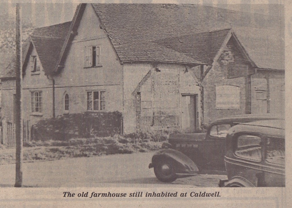
Caldwell Hall Farm just prior to demolition in 1949. The farm stood in what is now Franklin Road on the Caldwell estate. The farm was occupied for many years by the Buckler family who were butchers in Abbey Street. The last resident was Tony Morris who worked for Nuneaton council. The old Packard Straight Eight belonged to David Boffin, and was ultimately used in stock car racing after its glory days were over. (Noel Gordon-Dunbar)
Picture
A poor picture but worth reproducing of the demolition of Caldwell Hall Farm in 1949. (Noel Gordon-Dunbar)
Picture
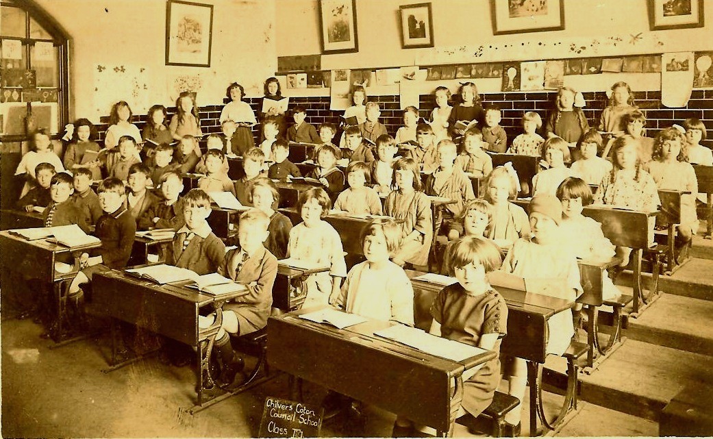
Chilvers Coton Council School note the glazed bricks - a Stanley Brothers speciality.
Picture
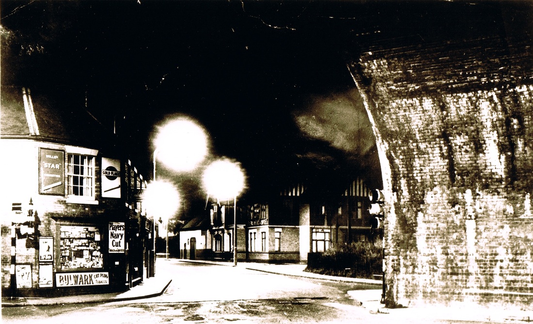
An atmospheric night photo of Coton Arches in the 1950's. Daulman's newspaper shop to the left and the Fleur de Lys pub in the centre.
Picture
Coton Arches during the opening out that saw the demolition of many of the old properties next to the bridge. In the 1970's (Geoff Edmands)
Picture
Another view of Coton Arches during the construction of the by pass. The original slide had chemical damage of some sort but felt this image worth including. (Geoff Edmands)
Picture
Chilvers Coton Liberal Club stands in splendid isolation as a Rover car turns into Edward Street. Coton Arches on the left. The old club would soon be a memory. 4th February 1973. (Geoff Edmands Nr. 4837)
Picture
One of three views of the old Chilvers Coton Foundry on Wednesday 18th August 1993. (Michael A Salter)
Picture
Picture
Picture
It is a complete miracle to see that the old foundry has been entirely rebuilt and was in magnificent condition in 2010. (Peter Lee)
Picture
A view down towards Coton Arches on the line of the new by pass road into Nuneaton. Note Listers mill with its tall chimney on the right. (Geoff Edmands)
Picture
The old turnpike house which stood by Coton Arches. The former Hinckley-Coventry turnpike road which ran from Hinckley through Nuneaton and had a gate here underneath Coton Arches extending to Bishop's Gate Toll House, Coventry. It was de-turnpike in 1878, and this house which projected into Coton Road lasted until 1914. Traffic was increasing in 1914 and it blocked the road so had to be demolished. (Dennis Labrum Collection)
Picture
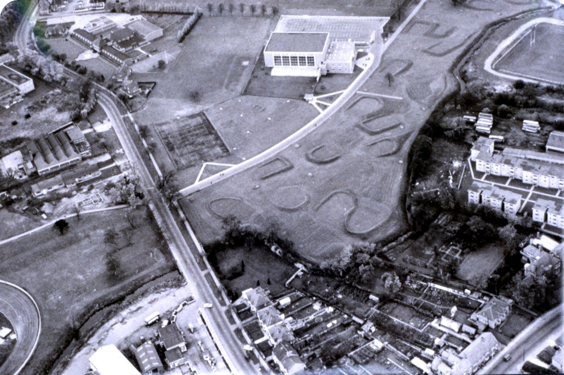
An aerial view of the Pingle fields c. 1965 with the old swimming baths then new in 1965. The golf course and on the left tennis courts and Avenue Road. On the right can be seen the Wem Brook which marks the boundary between Chilvers Coton parish and Attleborough. You can also see part of the Harry Cleaver Rugby Pitch as well as buses at the back of Monty Moreton's bus garage in Attleborough Road. (Reg. Bull)
Picture
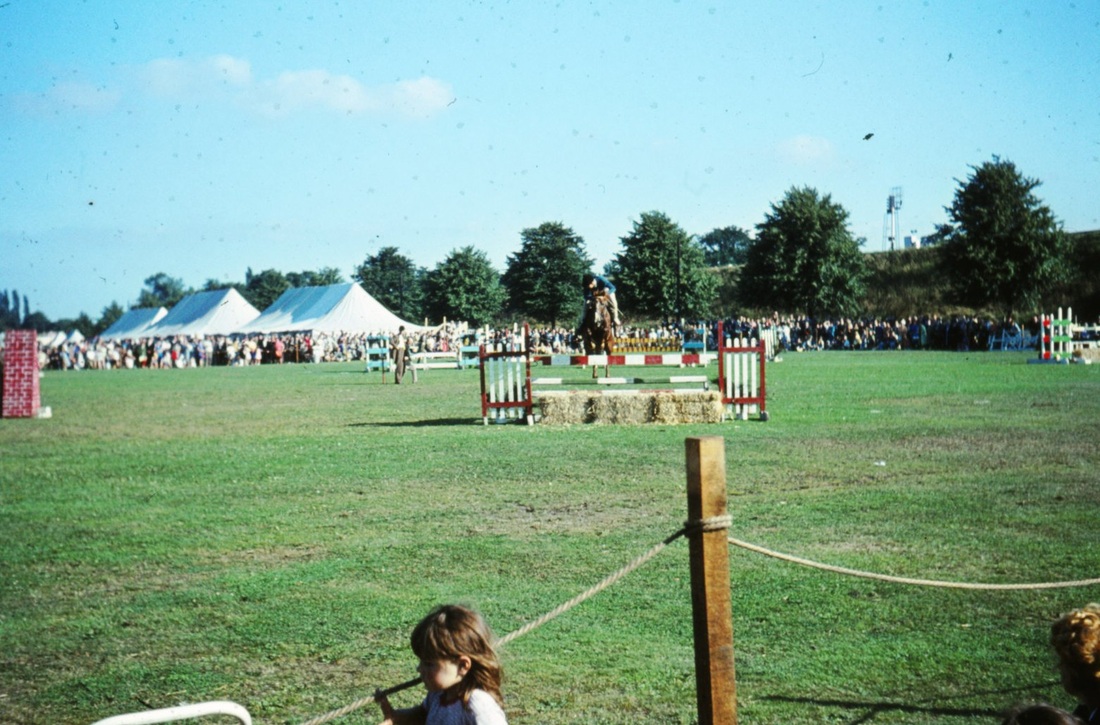
The Pingle Fields before the sports track was erected spoiling this huge swathe of clean open recreational ground. (Peter Bayly)
Picture
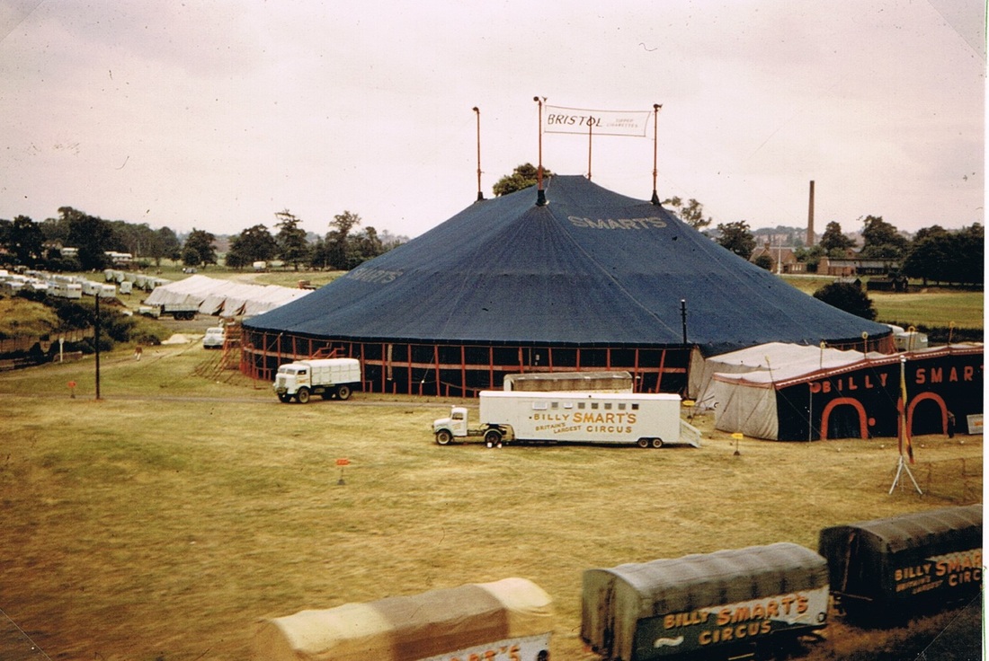
Remember Billy Smart's Circus set up here on the Pingles. We can see here how the old Pingles brought a swathe of green into the heart of Nuneaton.
Picture
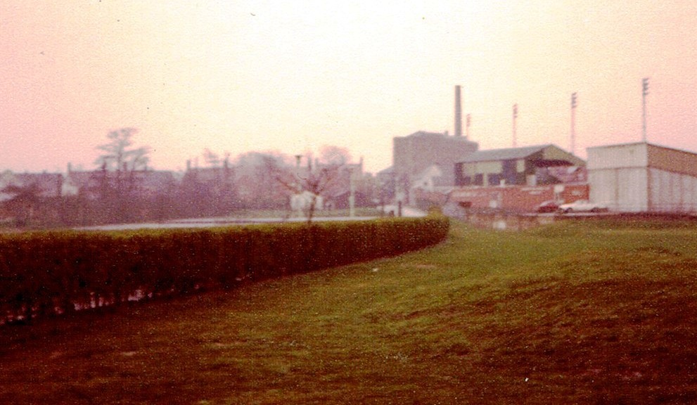
From the Pingle Fields looking towards Attleborough Fields. Lister's mill looms large in the background. The Harry Cleaver ground on the right. This is in the 1970's. (Peter Lee)

Coleshill

Picture
The River Blythe near Coleshill 28th April 1957. (Geoff Edmands - 1/50:F.10-639.)
Picture
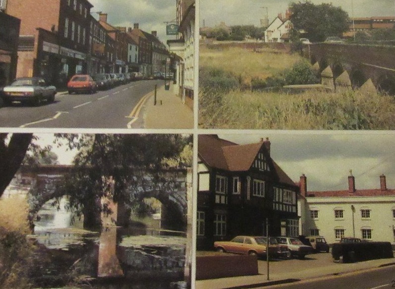
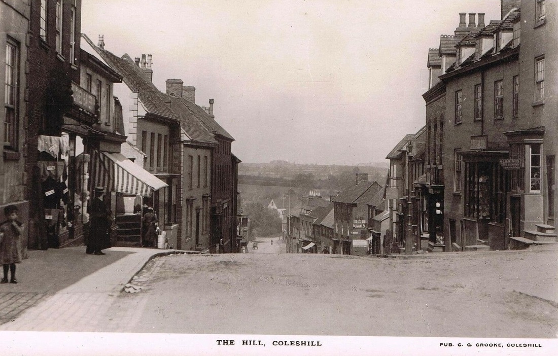
A Coleshill Picture Post Card
Picture
Picture
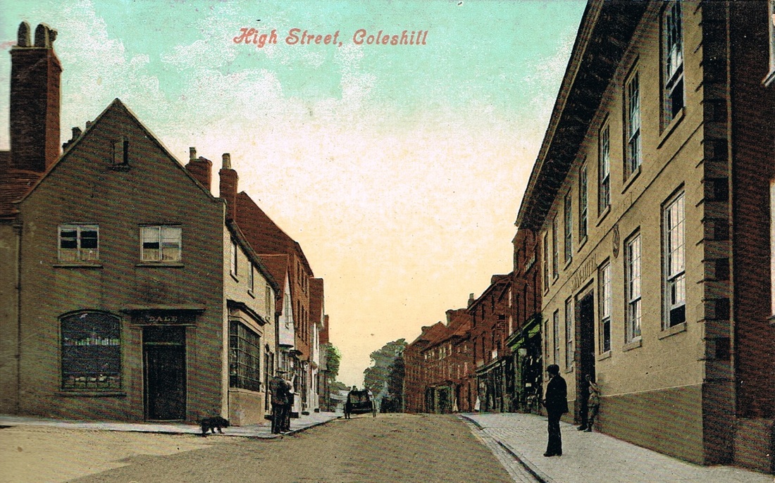
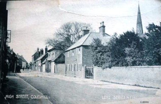
High Street, Coleshill. (The Harridan Online Collection)
Picture
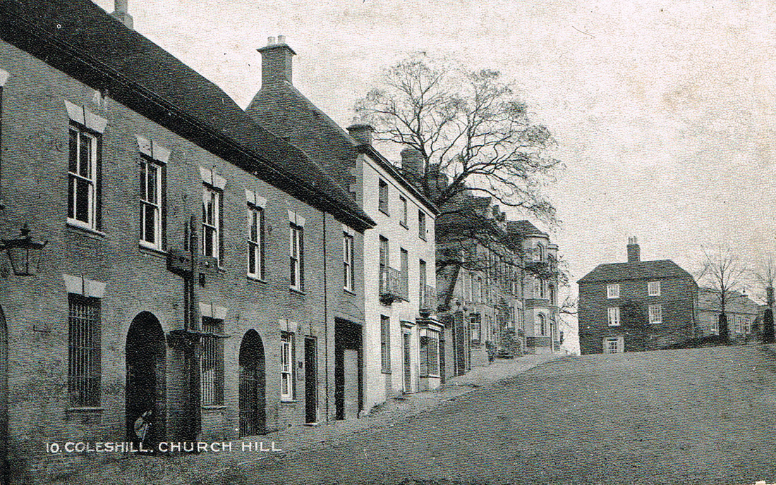
Church Hill, Coleshill (The Harridan On Line Collection)
Picture
Picture
Picture
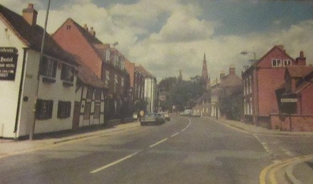
High Street, Coleshill.
Picture
Coleshill Station (Formerly Forge Mills) with the LURGI gas plant in the background. The station we see here including the vast gas plant has all been swept away but this view is great. The old station set against the background of the ultra modern plant. The two tracks heading in the direction of Birmingham remain but everything else has gone. (Roger Carpenter Collection)

​Corley

Picture
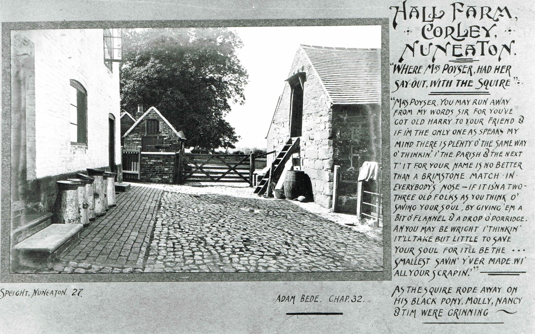
Corley Hall Farm, Mrs. Poyser's Farm in "Adam Bede" by George Eliot. (Postcard by Sidwell of Meriden, in the Fred Phillips Collection)
Picture

Exhall

Picture
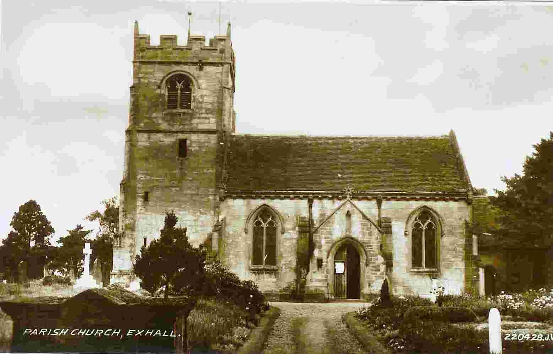
Exhall Parish Church (Alan Cook Collection)
Picture
St. Gile's Church, Exhall, 31st January 1956. (Geoff Edmands Catalogue Nr. 247 1/50:F.16)
Picture
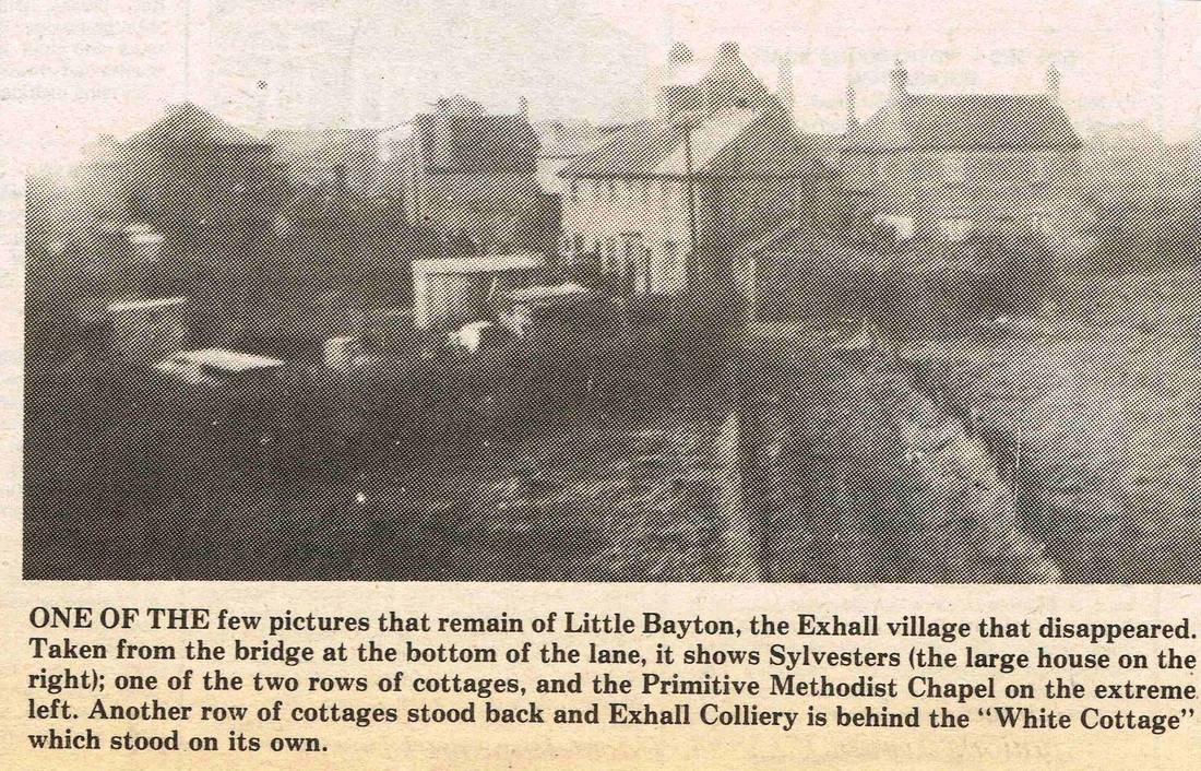
Little Bayton was a pit village associated with Exhall, Hawkesbury and Wyken Collieries, but when Exhall finally closed in the late 1940's the village was demolished as unfit to live in. The Bayton Road industrial estate has obliterated the site occupied by these houses. (Bedworth Echo)
Picture

Fenny Drayton

Picture

Fillongley

Picture
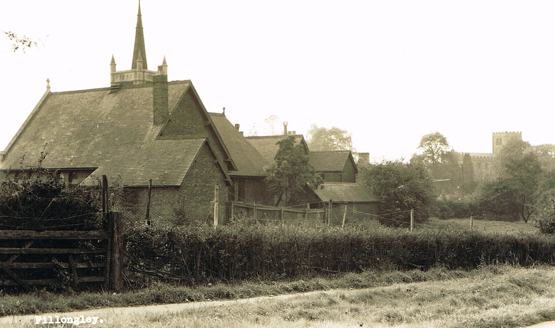
The school at Fillongley. Church in the distance. (Harraden Online Collection)
Picture
Picture
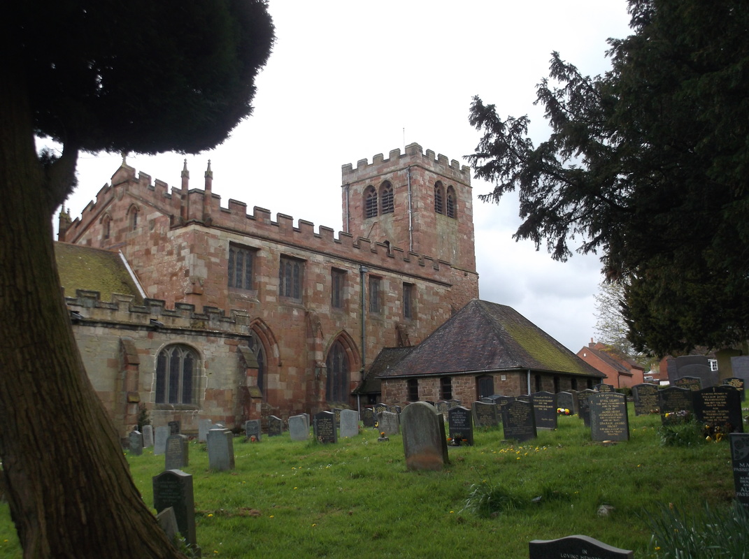
Fillongley Church 2.5.2015. (Peter Lee)
Picture
Fillongley Church. 2.5.2015. (Peter Lee)
Picture
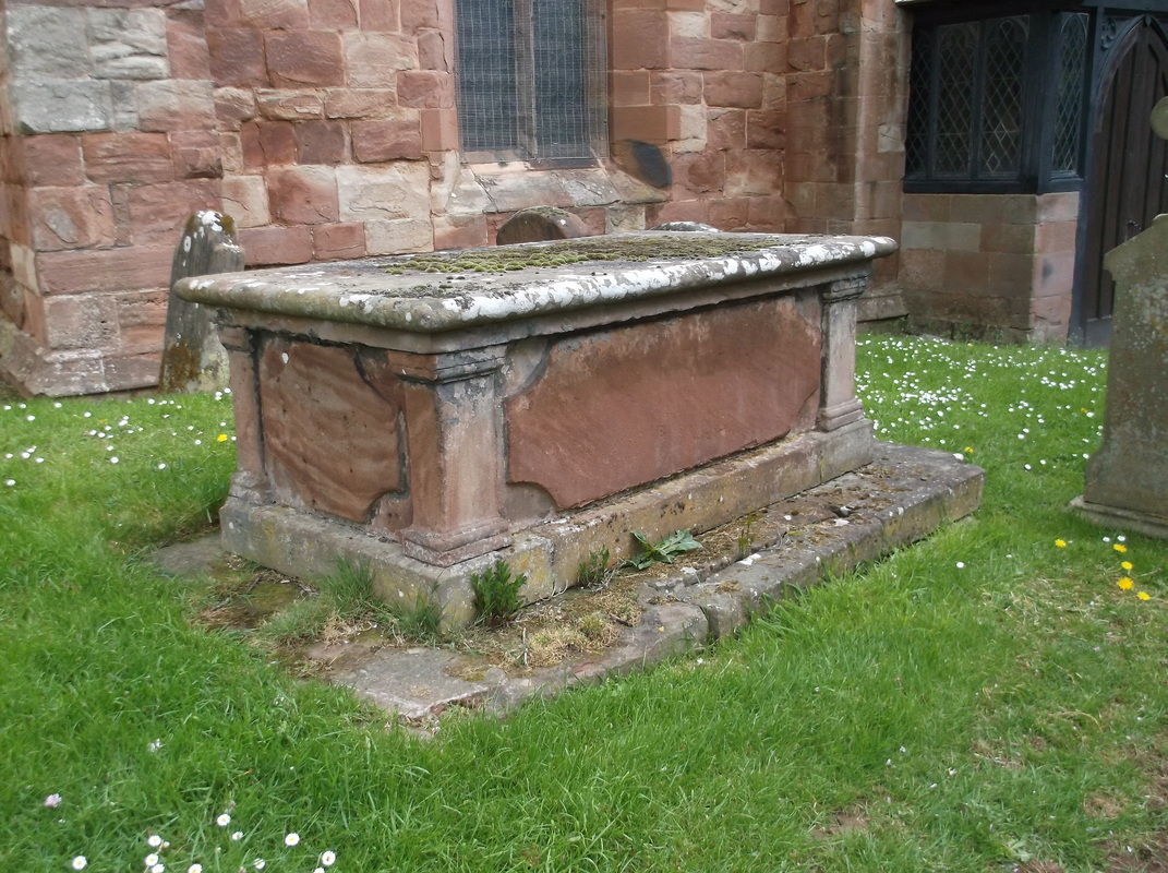
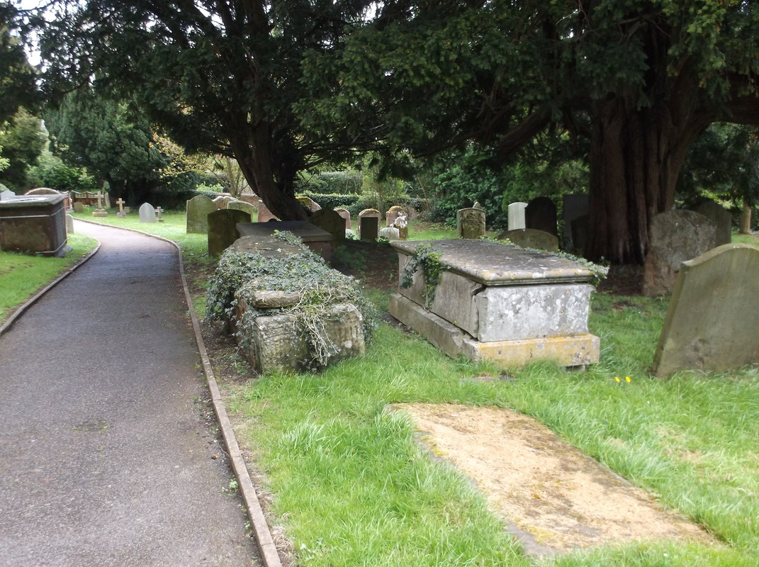
Old tomb, Fillongley Church. 2.5.2015. (Peter Lee)
Picture
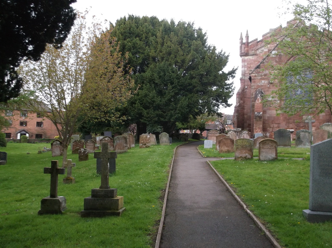
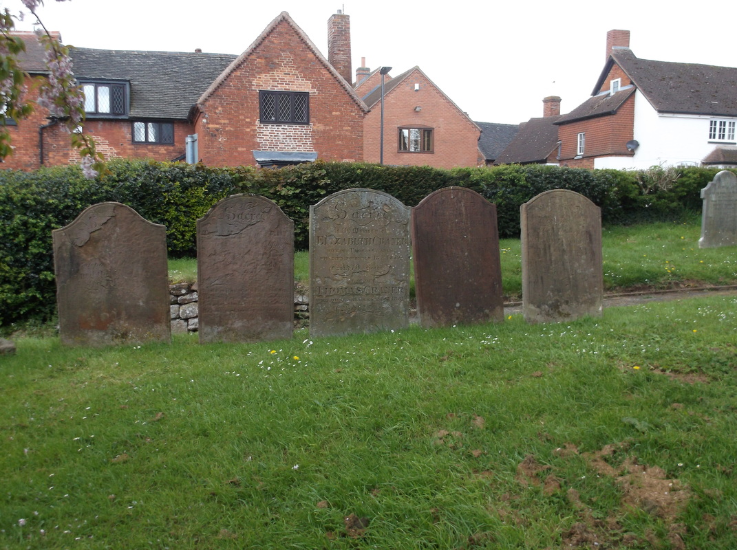
Fillongley churchyard. 2.5.2015. (Peter Lee)
Picture
Fillongley churchyard. 2.5.2015. (Peter Lee)

Galley Common

Picture

Grendon

Picture
All Saints Church, Grendon 20th July 1968 (Geoff Edmands)
Picture
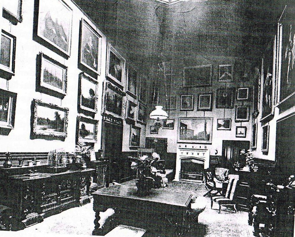
The interior of Grendon Hall. This was built in 1825 and was demolished in 1932. I wonder what happened to the paintings, furniture and fine porcelain?

Hampton in Arden

Picture
Picture
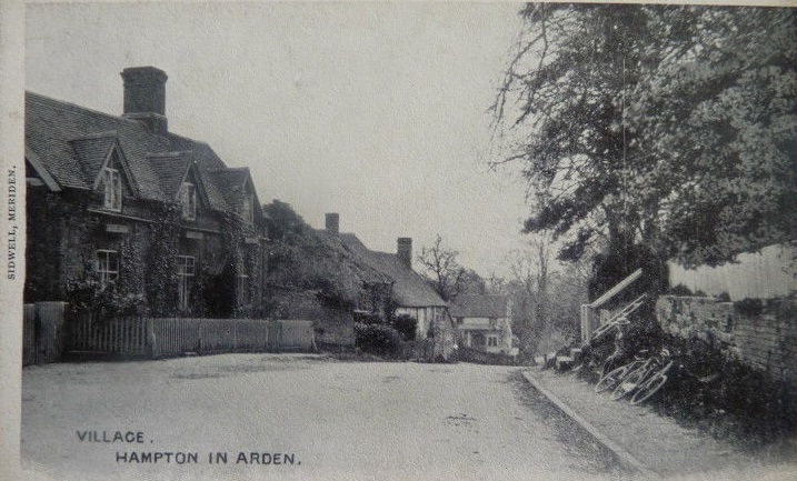
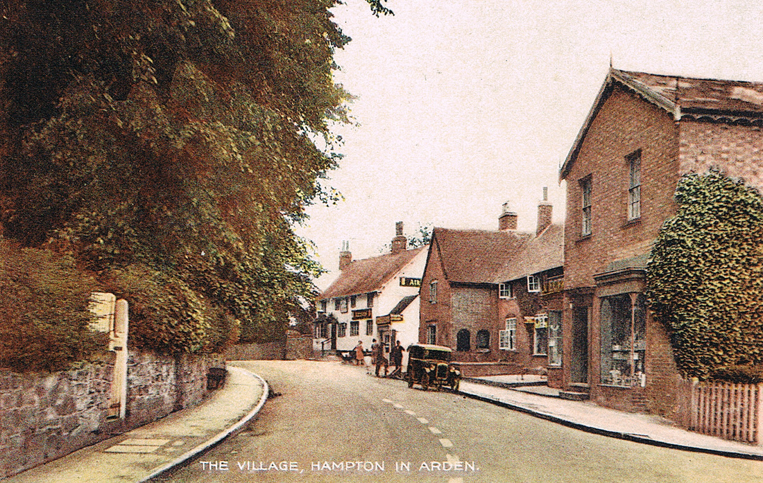
The main road through Hampton in Arden (The Harridan On Line Collection)
Picture
Hampton in Arden Post Office.

Hartshill

Picture
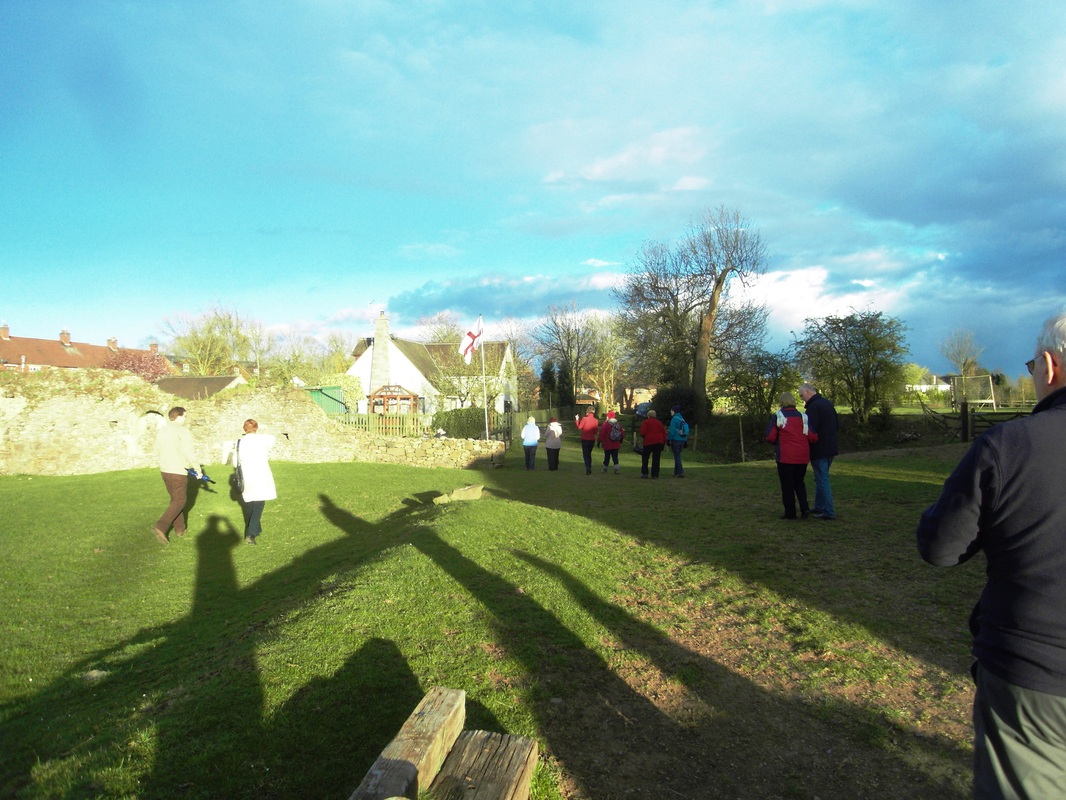
Members of the Nuneaton Local History Group visit Hartshill Castle 2010. (Peter Lee)
Picture
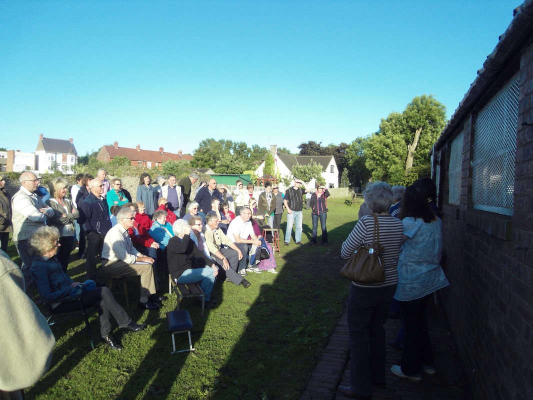
65 visitors on a visit organised by the Nuneaton Local History Group to Hartshill Castle are being briefed on its history by the owner - Jean Lapworth. The NLHG have organised three visits so far to this intriguing ancient monument as guests of Jean who is pleased to be involved with the Nuneaton Local History Group and encourage their studies. (Peter Lee).
Picture
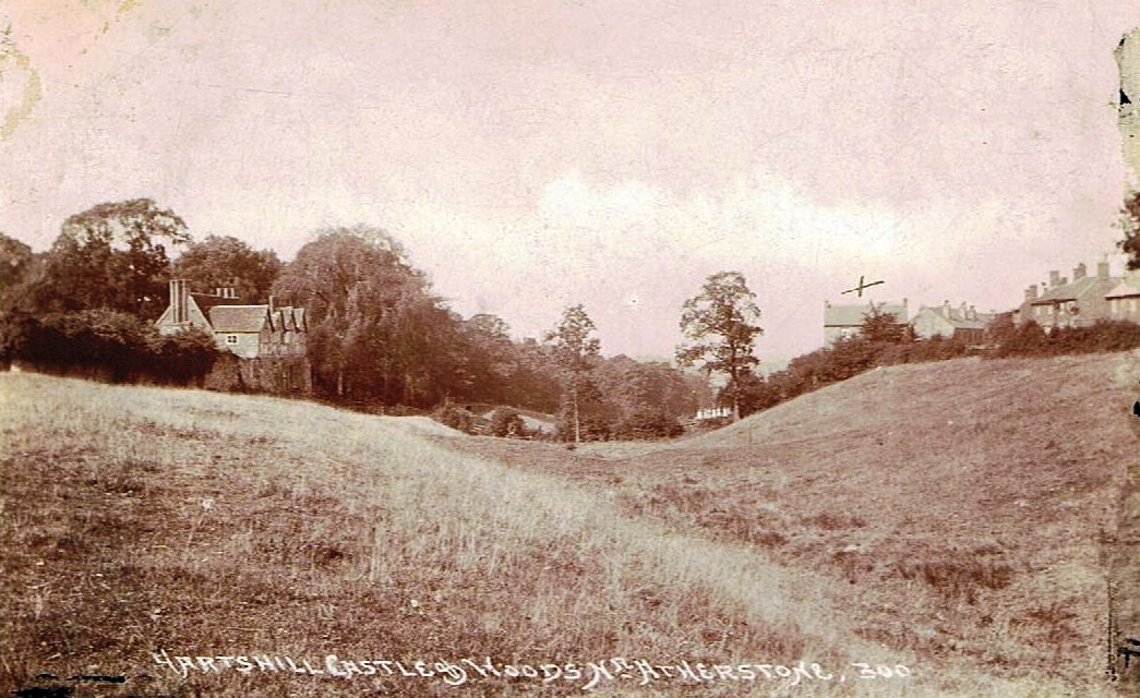
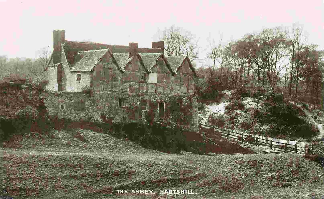
Hartshill Castle on the left in the early 1900's.
Picture
Picture
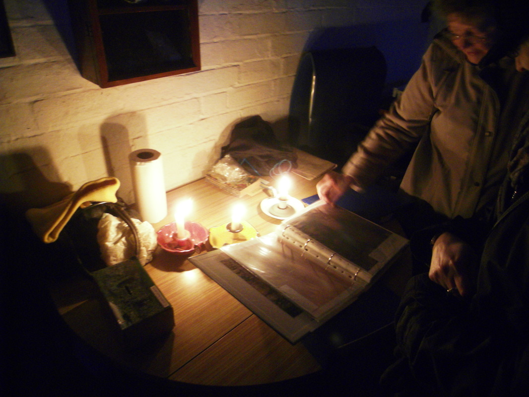
Nuneaton Local History Group participants in the 2013 visit to Hartshill Castle go through Jean Lapworth's archives in the castle's stable block which is the only standing structure within the curtilage of the walls. There is no electricity so Jean, the owner, uses candles to light the room. Very atmospheric in the fading light. (Peter Lee)
Picture
Members of Nuneaton Local History Group re-visit Hartshill in 2013 to see how Jean Lapworth, the owner, is getting on with her stone work. (Peter Lee)
Picture
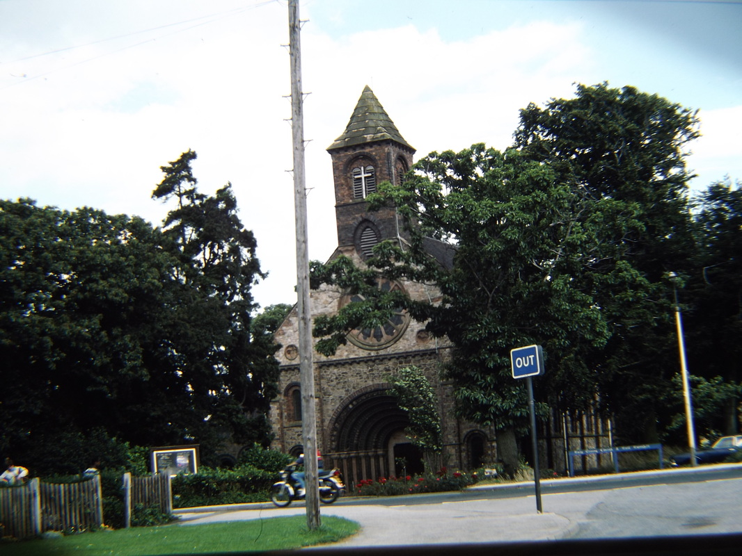
Hartshill Church 1982. Designed by the architect: Thomas Larkins Walker (1811-1860) in 1842. The church is built from the local very hard diorite stone used for metalling roads, railway ballast and other heavy uses. (Alan Cook)
Picture
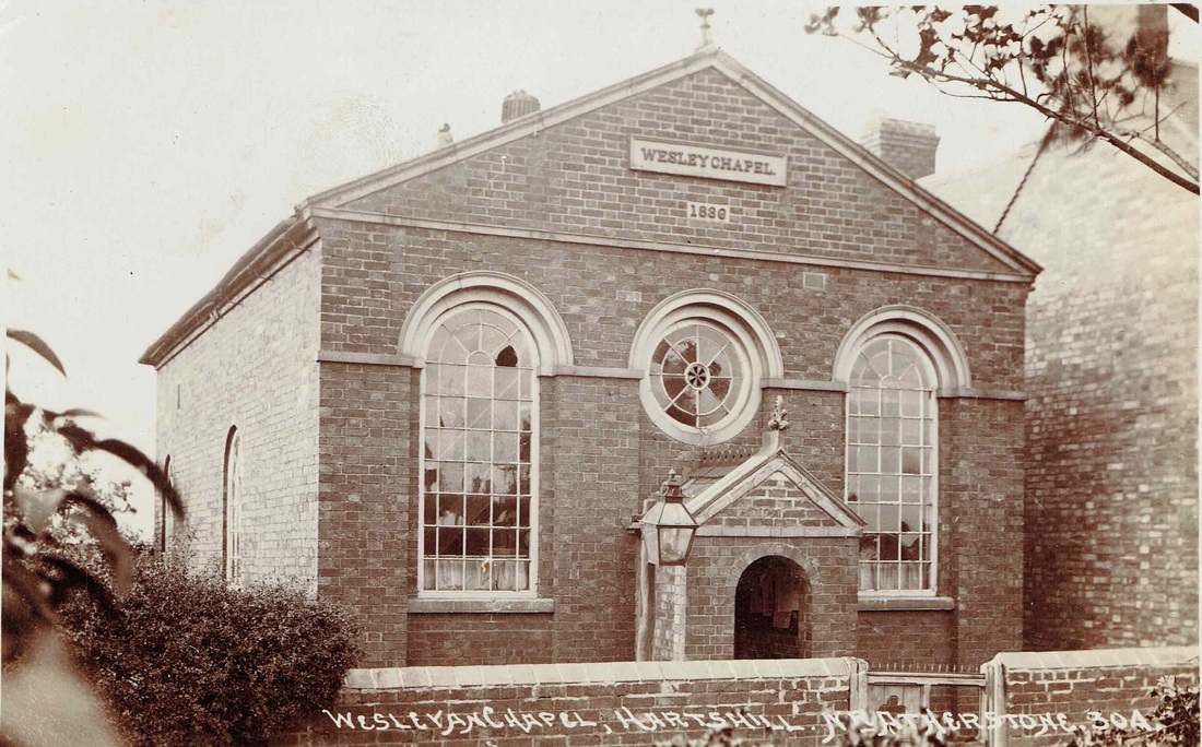
Hartshill Wesley Chapel (Photo by J. Bradbury of Stockingford, Tom Burgoyne Collection courtesy of Ian Burgoyne)
Picture
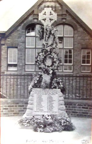
Hartshill War Memorial
Picture
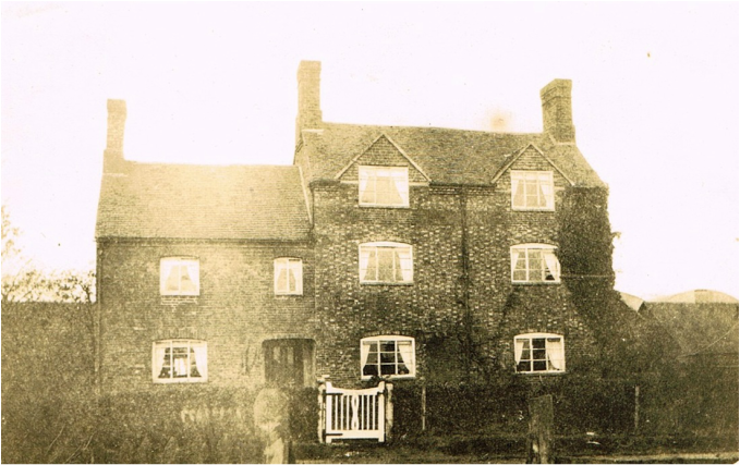
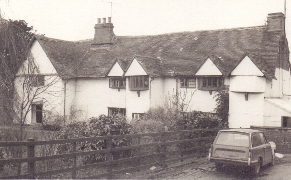
A Hartshill farm house.
Picture
Picture
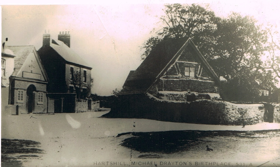
Hartshill Green with the old cottage reputed to be the birthplace of the eminent Elizabethan poet - Michael Drayton. A contemporary of William Shakespeare and who moved in the same circles in the London artistic scene of the late 16th and early 17th century but there is no hard evidence that Michael Drayton was a friend of Shakespeare although it is likely they knew each other as the London literary world was very close knit back then. The old cottage with its historic connections was demolished in the 1950's and replaced by a bus stop.
Picture
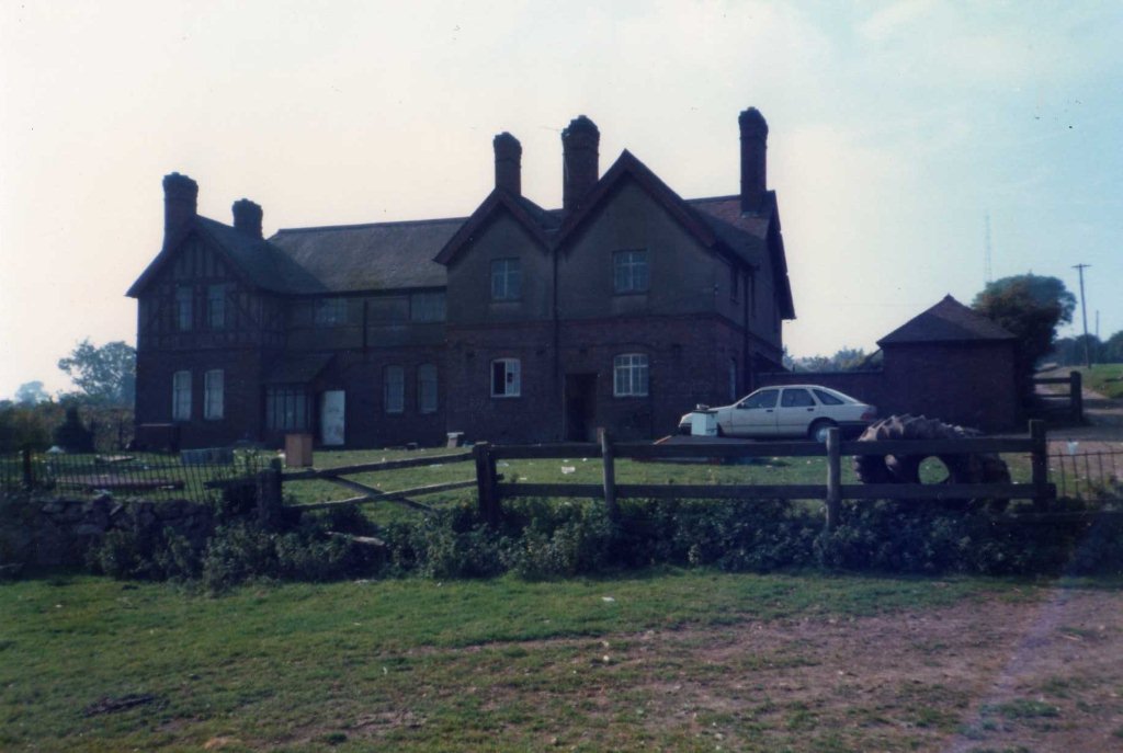
Whitehouse farm Hartshill shortly before demolition in the 1980's. Home of the Wright family for many years. (Ian Burgoyne Collection)
Picture
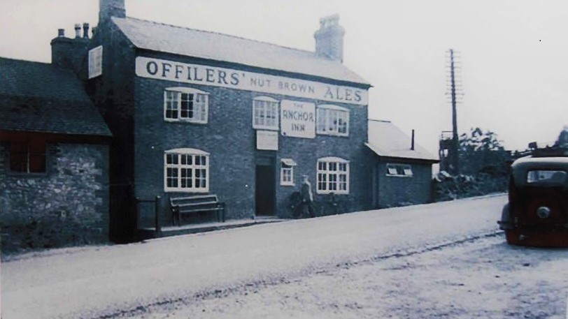
The Anchor Inn, Hartshill. In the 1930's. The pub was an Offilers Brewery Co. Ltd tied house. The brewery was based at Derby.
Picture
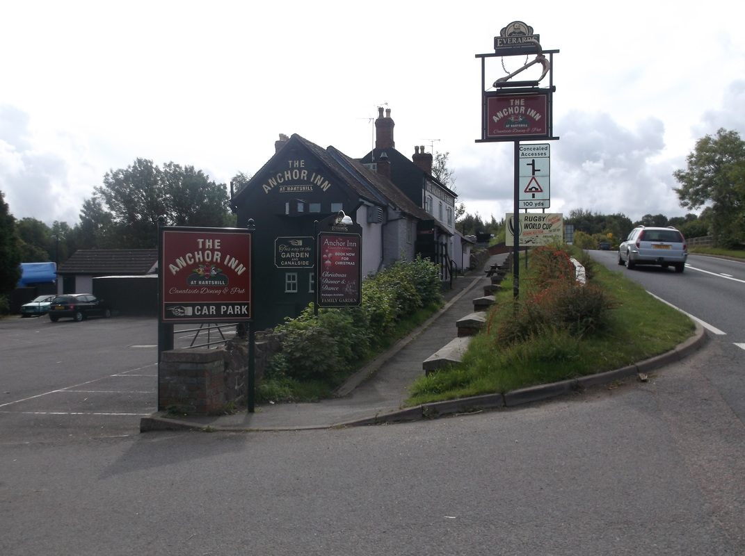
The Anchor Inn in September 2015. (Peter Lee)

Hawkesbury

Picture
Tolldish Hall, Hawkesbury. (Dr.A.W.A.White Collection)

Higham on the Hill

Picture
Higham Grange 1990 (Alan Cook)
Picture
Higham Grange as used as a National Coal Boards Rehabilitation Centre for Miners recovering from injuries or disease.
Picture
The Entrance Hall at Higham Grange during use as NCB Rehabilitation Centre.
Picture
Picture
A visit by Nuneaton Local History Group to Higham Hall arranged by Celia Hornbuckle of the Higham on the Hill Local History Group. It was a great opportunity to see this house which is not usually open to the public. (Peter Lee)
Picture
Higham on the Hill station house in the 50's or 60's. (Celia Hornbuckle)

Keresley

Picture

Kingsbury

Picture
Kingsbury village.
Picture
Kingsbury Village.
Picture
St. Paul's Church Kingsbury 29th June 1968. (Geoff Edmands)
Picture
Kingsbury churchyard. 1st November 2015. (Gavin Metcalfe - North Warwickshire Family History Project)
Picture
Kingsbury Church. 1st November 2015. (Gavin Metcalfe - North Warwickshire Family History Project)
Picture
The old Vicarage at Kingsbury. (Gavin Metcalfe)

Lea Marston

Picture
Picture

Lindley 

Picture
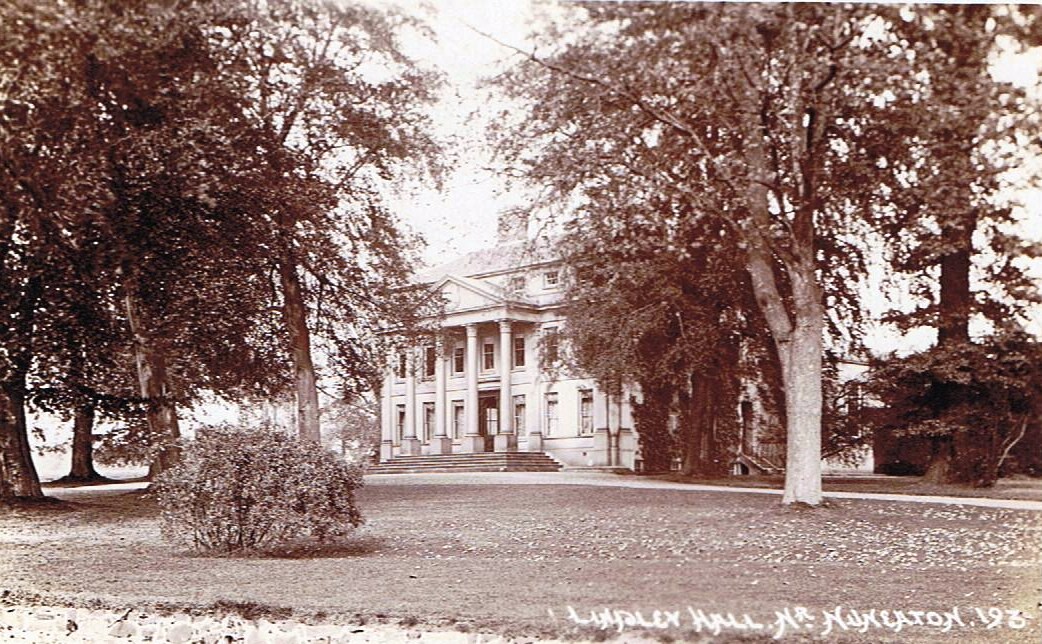
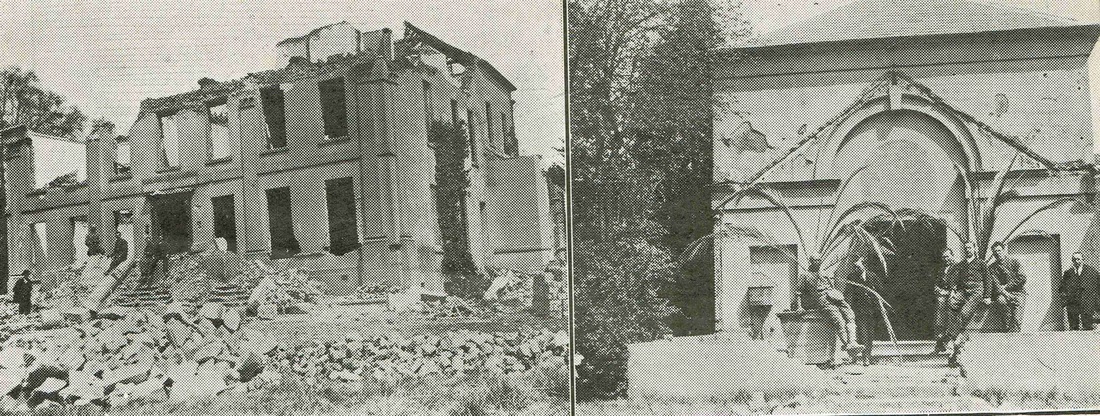
The fine Palladian mansion which was Lindley Hall stood in 1802 acres in beautiful grounds just off the Watling Street road down a long drive. The mansion we see here was Georgian and had been built on the site of a much earlier house which predated the 16th century. The earliest house was built for the Herdwick family, who then sold it to the Burton family, it passed to the Bracebridge's who rebuilt the Hall into the form we see here, who sold it to the Heming family. The estate was placed for sale by Lieutenant commander Reginald Francis Eyre R.N. in 1920. The house did not reach its reserve and five years later was demolished.
Picture
Another view of Lindley Hall. (courtesy Debbie Freeman)
Picture
Lindley Hall was demolished in 1925 as can be seen in this view. It did not reach its reserve when put on the market in 1920 and failed to find a buyer. In later years a new house was erected on the derelict footprint of the hall. The photo on the right is of the Roman Catholic chapel which was also demolished at the same time. (Warwickshire County Graphic)
Picture
The driveway up to the Hall as it is today. The gates at the perimeter of the site can be seen. A visit especially arranged for Ian Burgoyne and myself by Debbie Freeman and her Mum. 1st March 2015. (Peter Lee)
Picture
The house which stands on the site of Lindley Hall today. Photographed on 1st March 2015. (Peter Lee)
Picture
The frontage of the modern house on the footprint of the Hall. 1st March 2015 (Peter Lee)
Picture
The external paving is still evident underneath the grass on the site of the old hall gardens. 1st March 2015. (Peter Lee)
Picture
Demolition rubble from the Hall. 1st March 2015. (Peter Lee)
Picture
More external walls on the periphery of the garden at Lindley Hall. 1st March 2015. (Peter Lee)
Picture
Remains of the Lindley chapel in the grounds of the Hall. 1st March 2015. (Peter Lee)

Mancetter

Picture
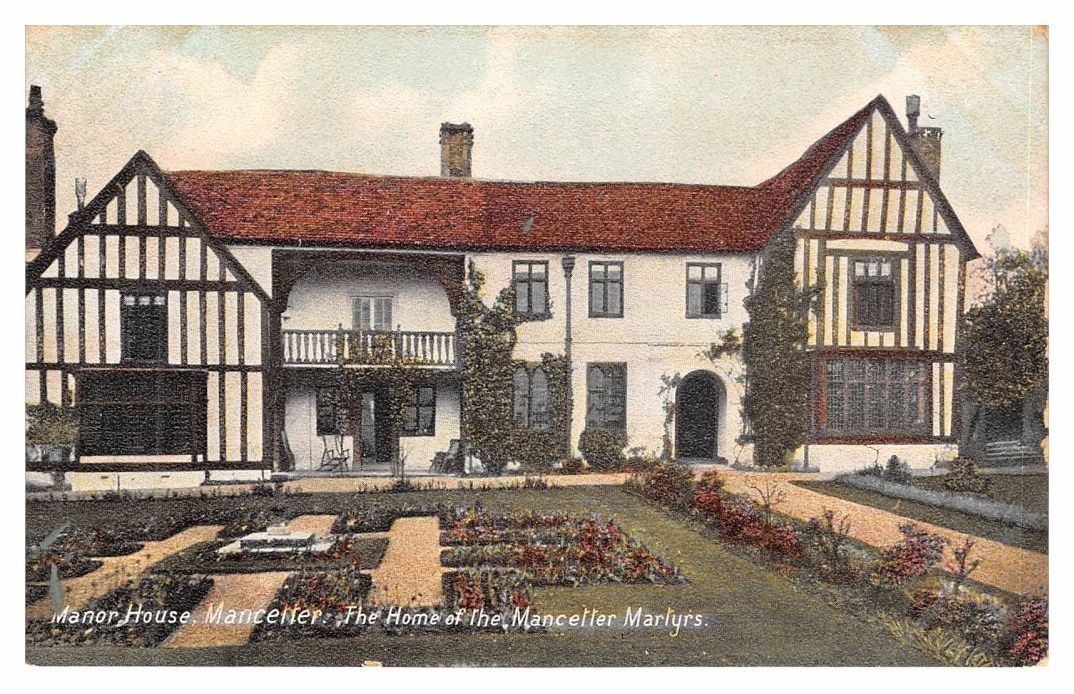
Mancetter Manor.
Picture
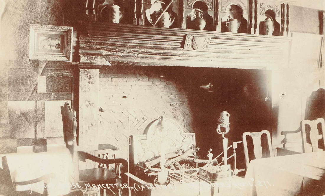
The main fireplace of Mancetter Manor before WW1. (Tom Burgoyne, courtesy of Ian Burgoyne)
Picture
Picture

Marston Green

Picture
Picture

Maxstoke

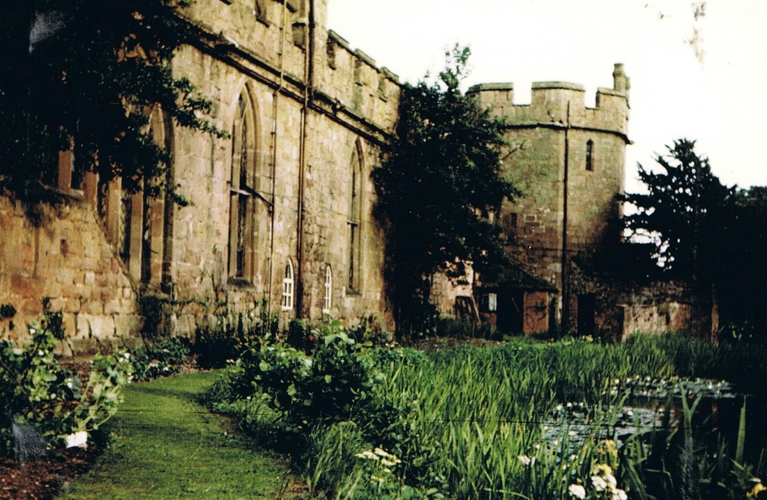
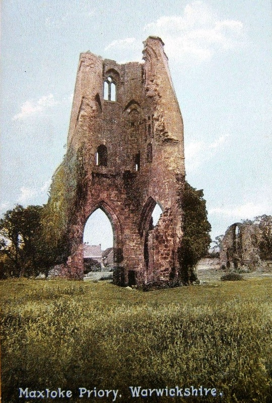
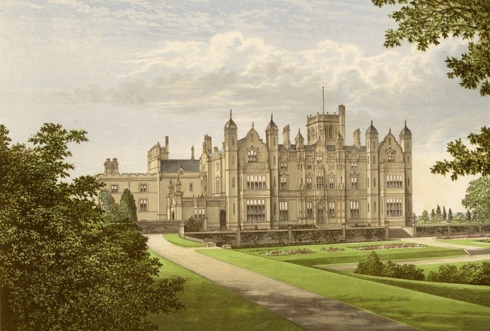
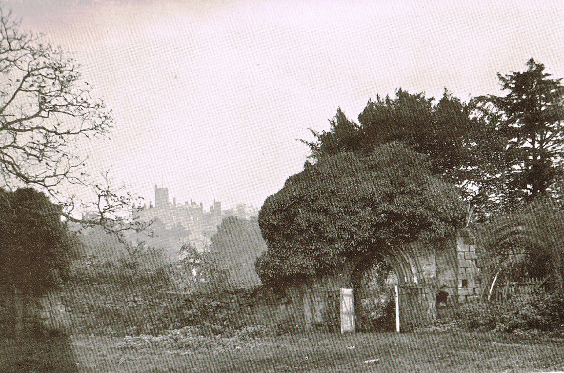
Picture
Picture
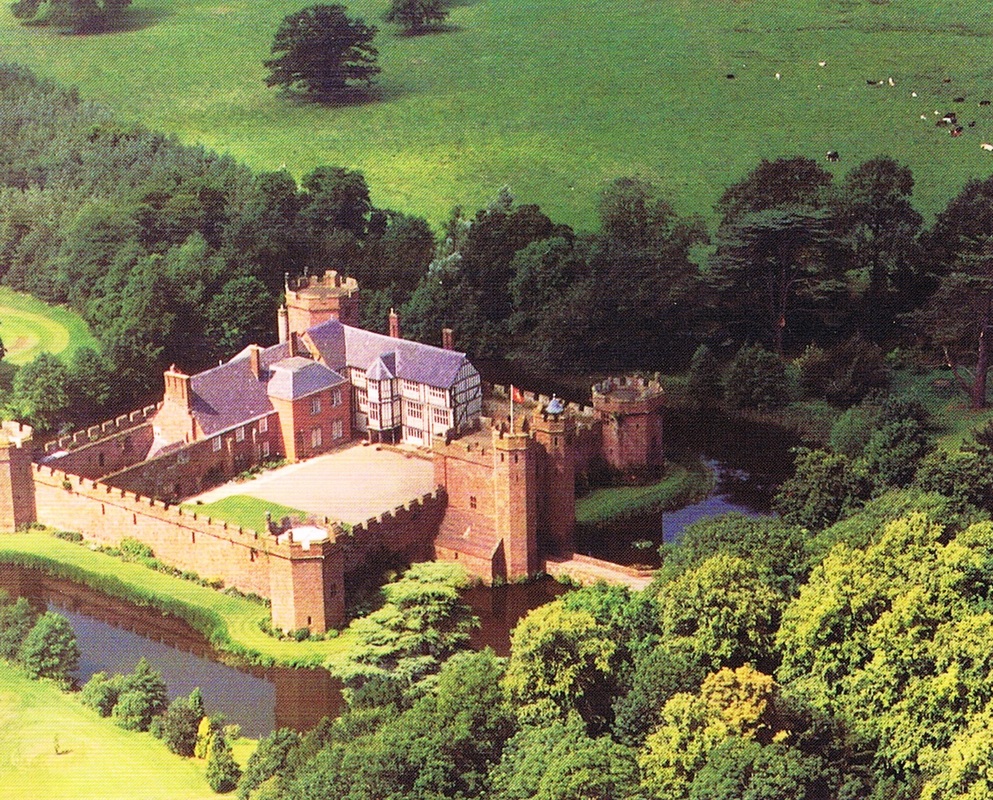
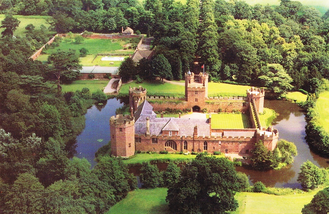
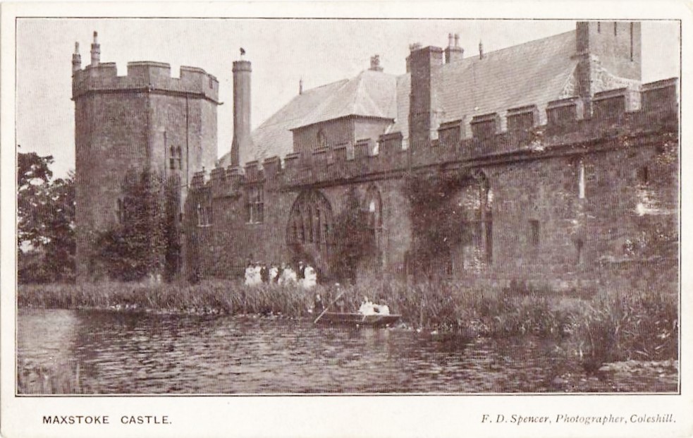
Two views of Maxstoke Castle from the air.
Picture
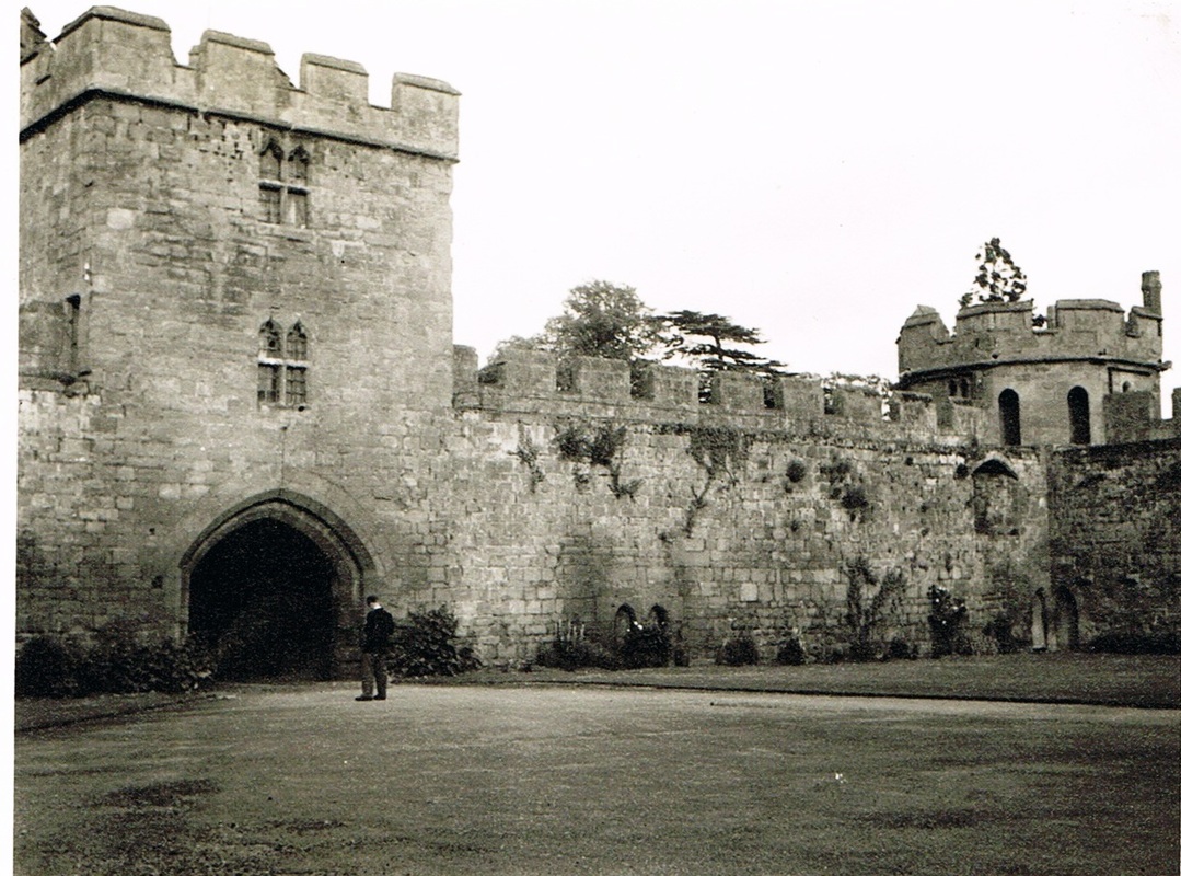
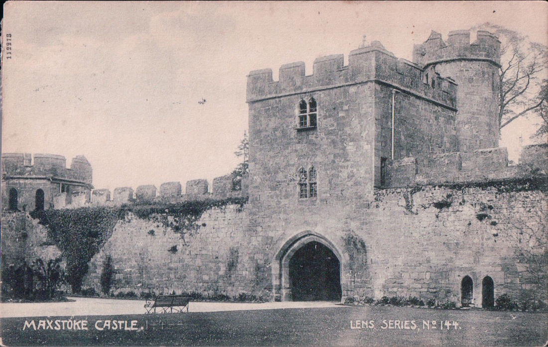
The heavily fortified wall and gatehouse of Maxstoke Castle. 27th June 1956. (Geoff Edmands)
Picture
Picture
Picture
Picture
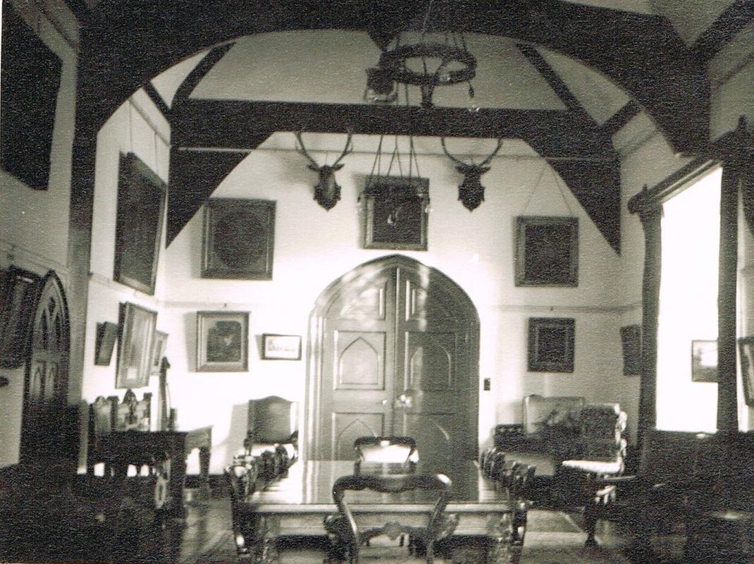
The dining room of Maxstoke Castle 27th June 1956. (Geoff Edmands)
Picture
The outer wall of Maxstoke Castle. 27th June 1956. (Geoff Edmands)
Picture

Merevale

Picture
Merevale Hall from a water colour painting.
Picture
Merevale Abbey Gate House. (Harridan On Line Collection)
Picture
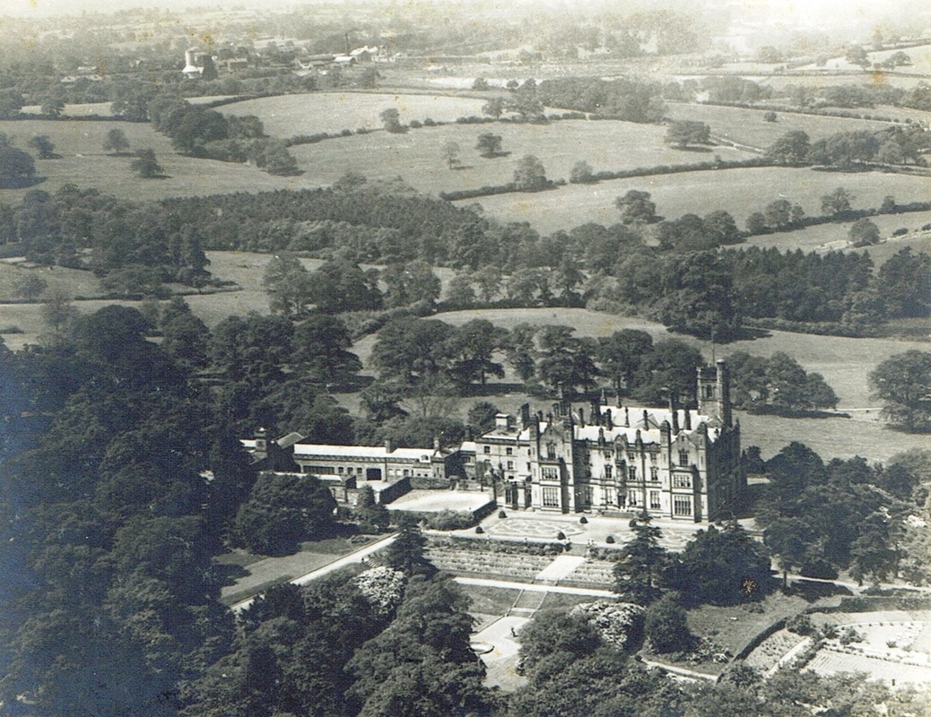
Merevale Hall from the air. (Jean Lapworth Collection)
Picture
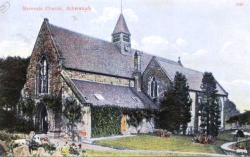
Merevale Church, Atherstone.
Picture
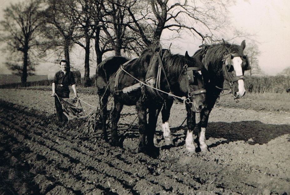
Ploughing on the Merevale Estate. (Wright Family North Warwickshire Collection)
Picture
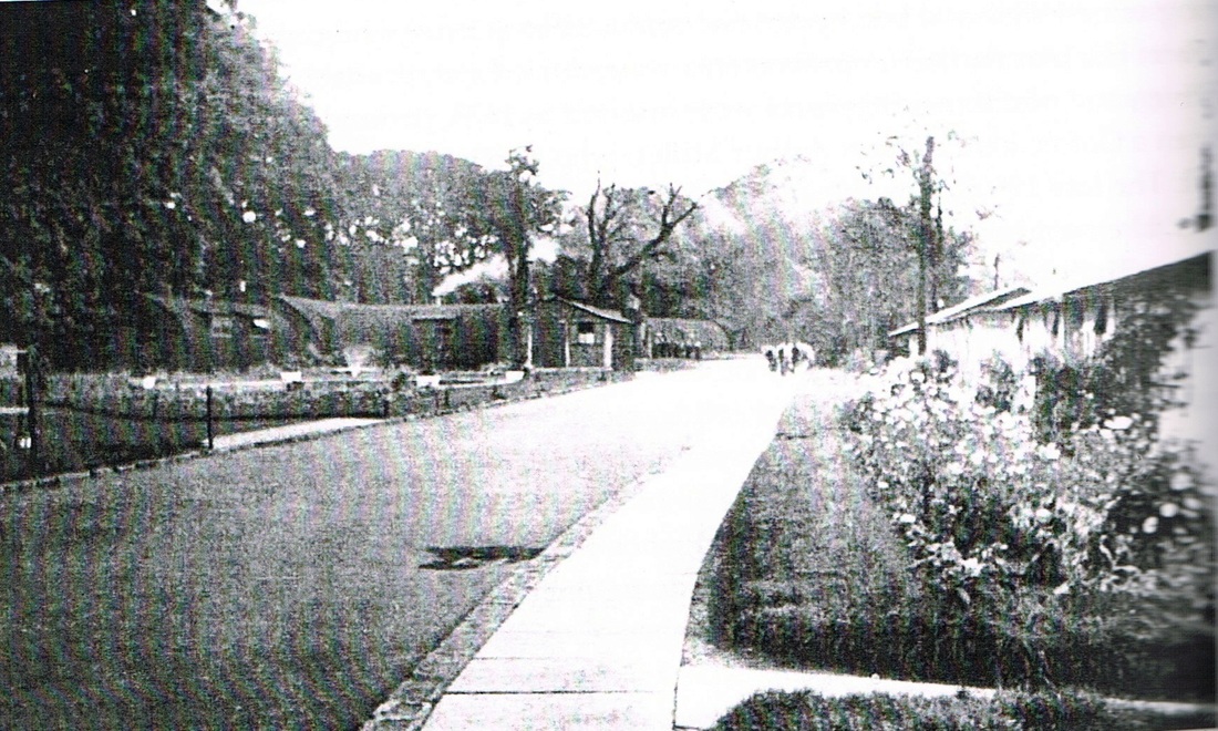
Merevale Prisoner of War Camp - World War 2. (For more photos see our WW2 section)

Meriden

Picture
(The Harriden Online Collection)
Picture
Picture
Picture
Picture
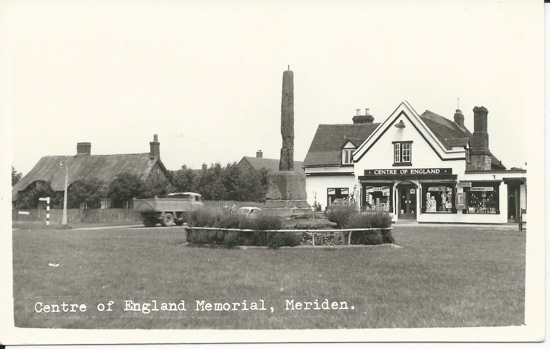
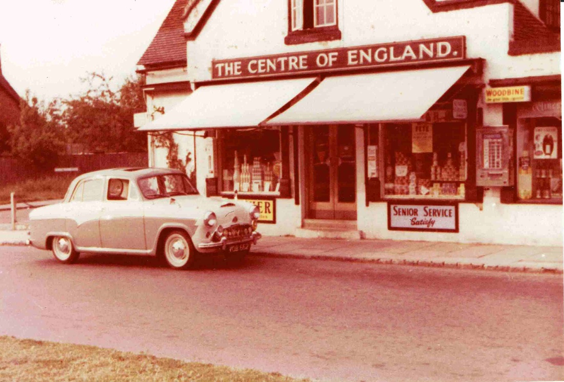
Geoff Edmands 1957 Austin Cambridge A55 parked outside the shop on Meriden green that was called "The Centre of England". 18th June 1960. (Geoff Edmands)
Picture
(The Harriden Online Collection)
Picture
Picture
Picture

Middleton

Middleton Hall and Park

Picture
Middleton Hall 1st November 2015. Gavin Metcalfe - North Warwickshire Family History Project)
Picture
Picture
Picture
Picture
Picture
Picture
Picture
Picture
Beautiful views taken around Middletion Hall on 1st November 2015. (Gavin Metcalfe)

Monks Kirby

Picture
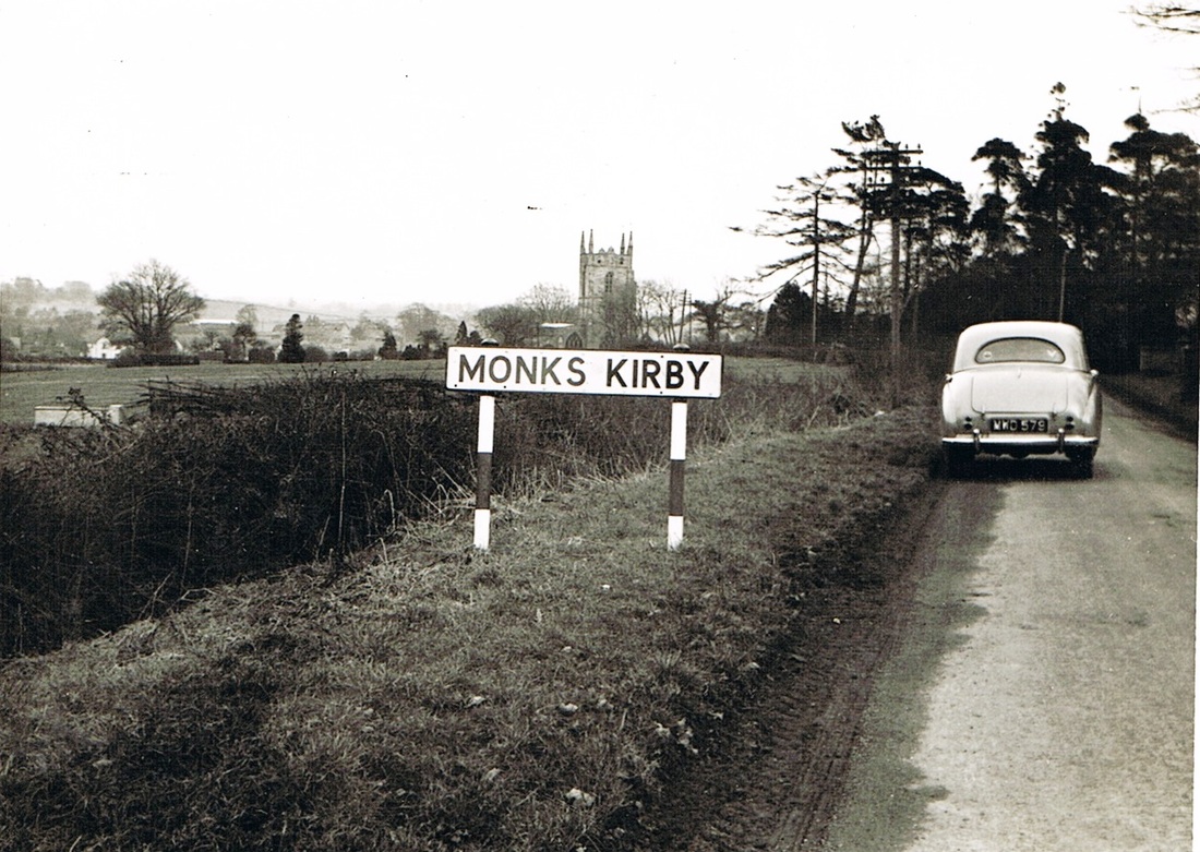
Monks Kirby 20th March 1955 (Geoff Edmands)
Picture
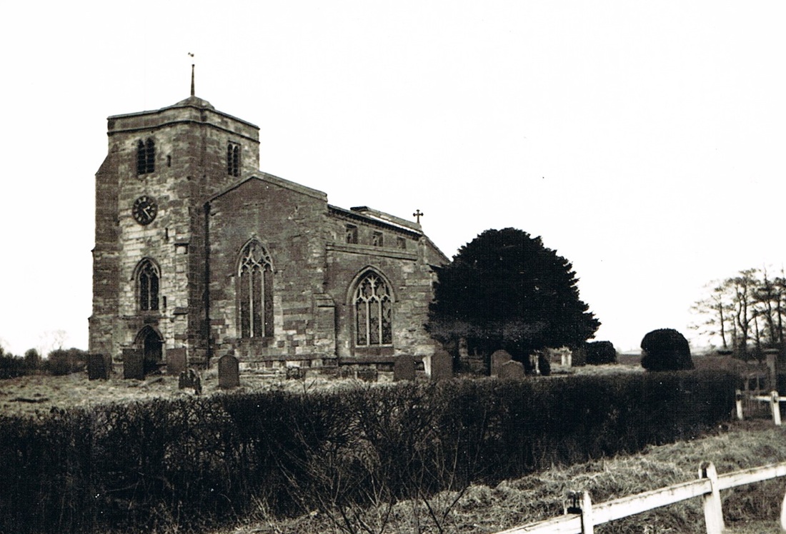
Monks Kirby church 20th March 1955 (Geoff Edmands)

Nether Whitacre

Picture
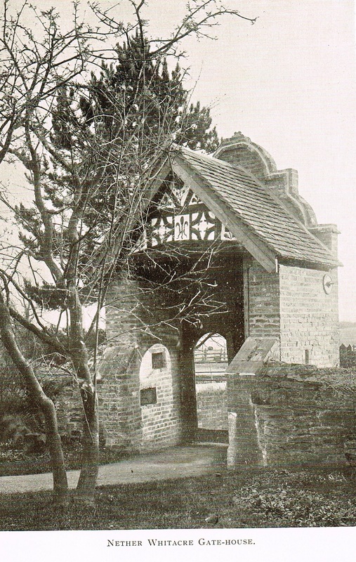
Picture
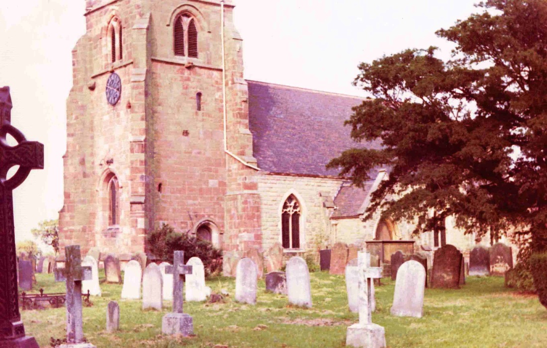
St. Giles Church, Nether Whitacre 22nd September 1970 (Geoff Edmands)
Picture
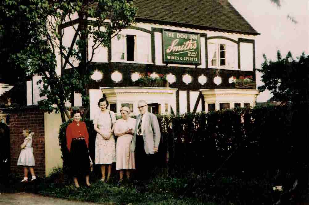
Dorothy and Muriel Edmands visit the Dog Inn at Nether Whitacre on the 22nd July 1956 with Mr. & Mrs. Reeve. The little girl is not recorded. (Geoff Edmands)

Newton Regis

Picture
Picture
Picture
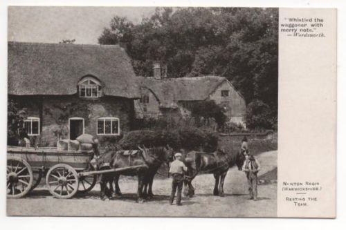
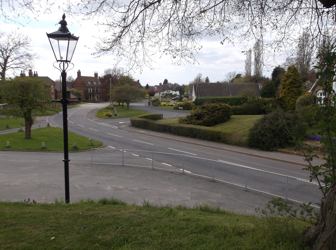
Newton Regis village April 2015. (Peter Lee)

Over Whitacre

Picture
Picture
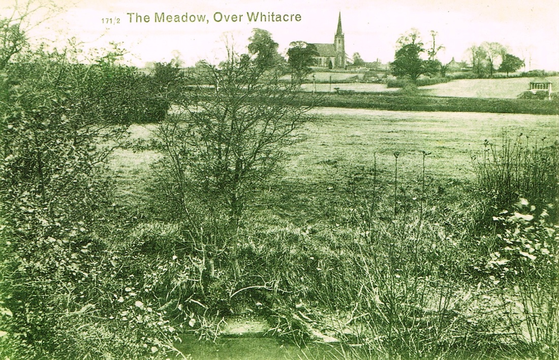
A delightfully rural scene at Over Whitacre across the meadow. The view is intersected left to right by the Nuneaton - Whitacre Junction railway line, and on the right a signal box which I suspect is associated with Shustoke station just off the picture. (The Wright Family Rural North Warwickshire Collection).
Picture
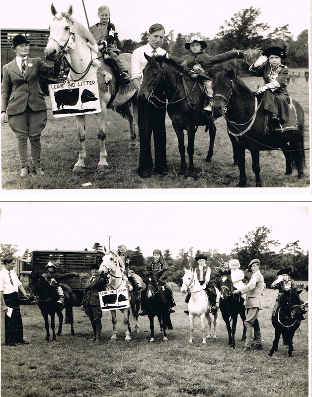
Over Whitacre Village Show (I assume in the 1960's). Does anyone recognise themselves? (The Wright Family Rural North Warwickshire Collection)

Packington

Picture
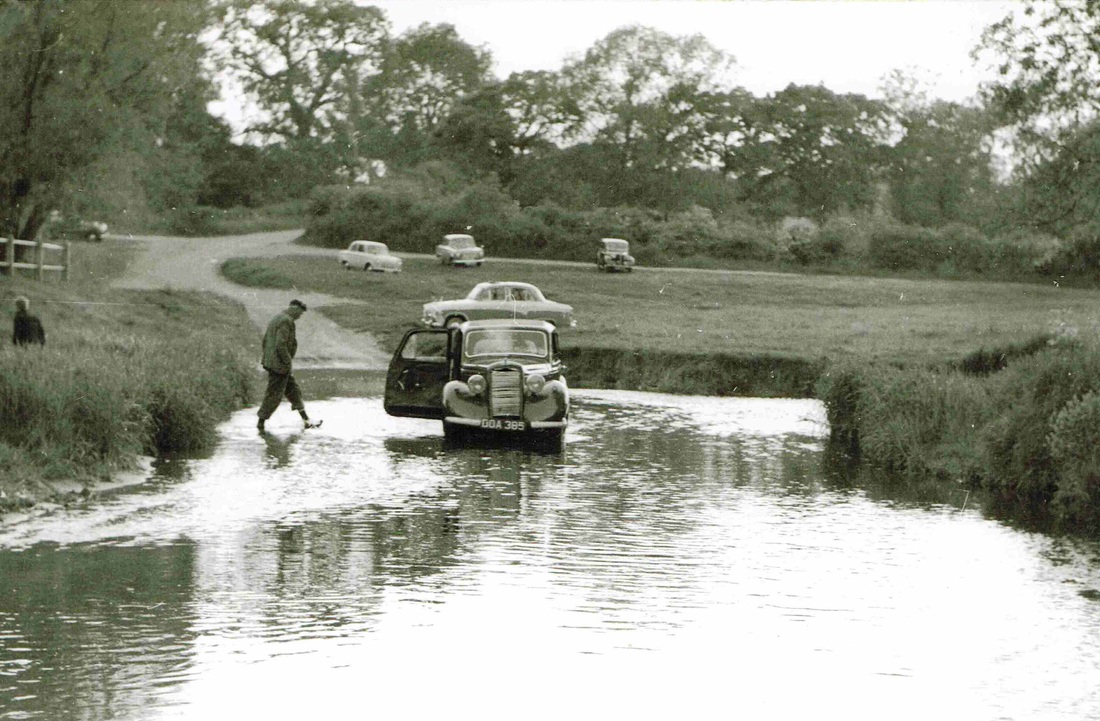
A minor incident at Packington Ford 28th May 1960. This Hillman Minx (DOA385) has become stuck in the River Blythe. (Geoff Edmands)
Picture
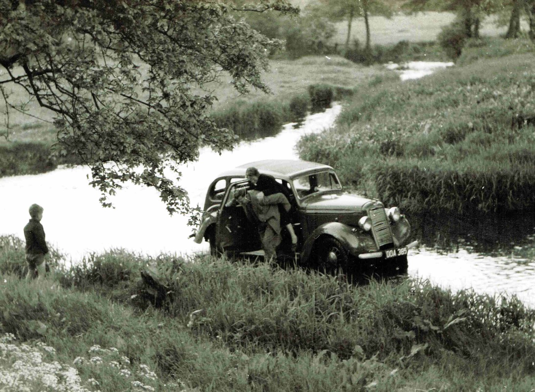
The motorist's kids are rescued from the flooded Hillman Minx in Packington Ford. (Geoff Edmands)

Polesworth

Picture
(Courtesy - John Mather)
Picture
Picture
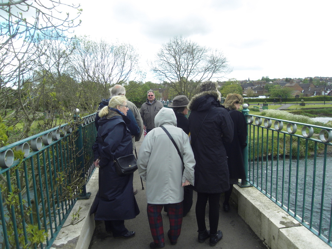
The River Anker at Polesworth during a visit by the Warwickshire Local History Society. (Peter Lee)
Picture
Picture
Picture
Polesworth Abbey gatehouse from an old postcard.
Picture
Picture
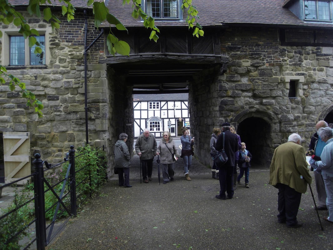
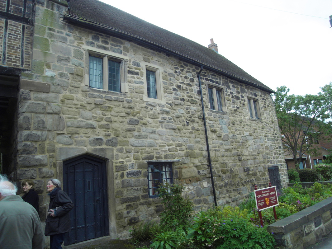
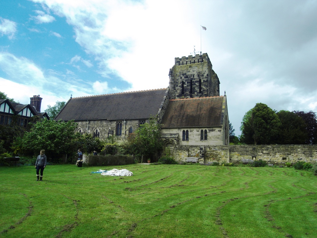
Polesworth and Polesworth Abbey were visited by the Warwickshire Local History Society including members of the local community on Saturday May 10th 2014. This is a record of their visit and the great welcome provided by Father Phillip. It was a memorable occasion. Here we are at the Polesworth gatehouse. A medieval structure with hidden rooms and a spooky atmosphere (Peter Lee)
Picture
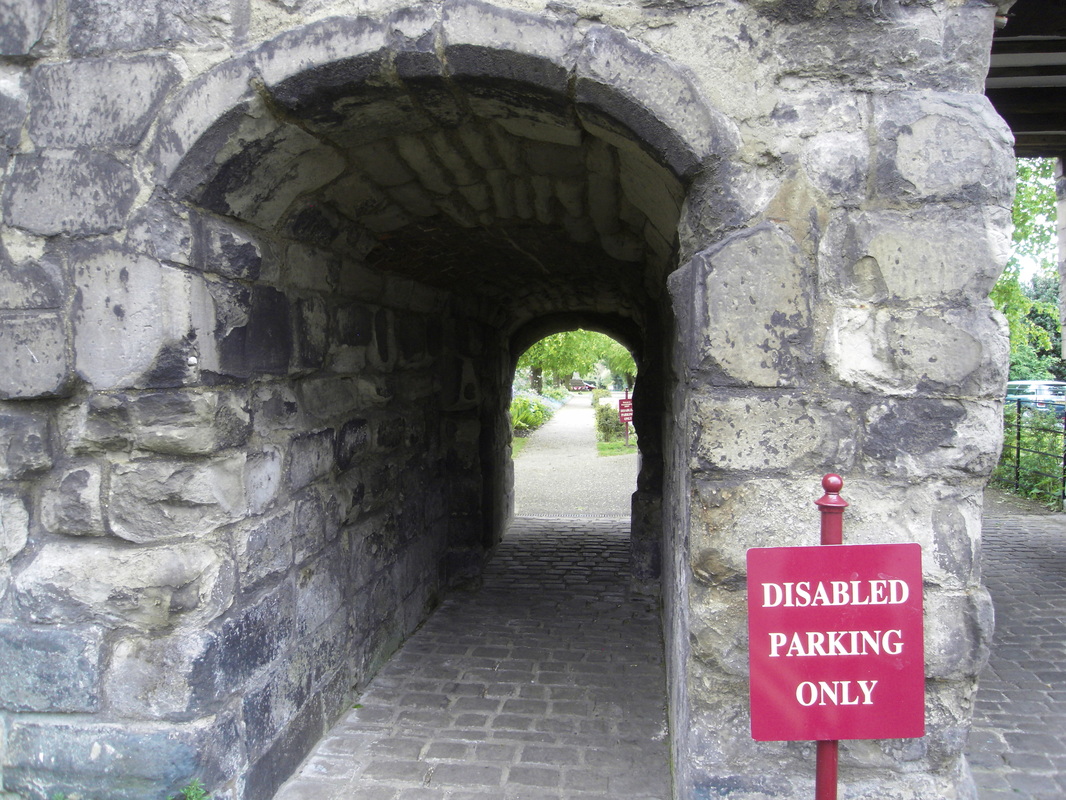
The narrow archway through the main gate at Polesworth. (Peter Lee)
Picture
Another view of the gateway at Polesworth. (Peter Lee)
Picture
(Peter Lee)
Picture
Father Phillip in the small chamber over the gatehouse where the Porter and his family used to live. We were treated to a magnificent and entertaining history by Father Phillip who is so passionate about the Abbey and its outstanding environment. (Peter Lee)
Picture
The driveway from the Abbey down to the gateway. In its leafy setting. (Peter Lee)
Picture
Polesworth Rectory Garden (Peter Lee)
Picture
An ancient sandstone column preserved in the garden of the Polesworth Rectory. (Peter Lee)
Picture
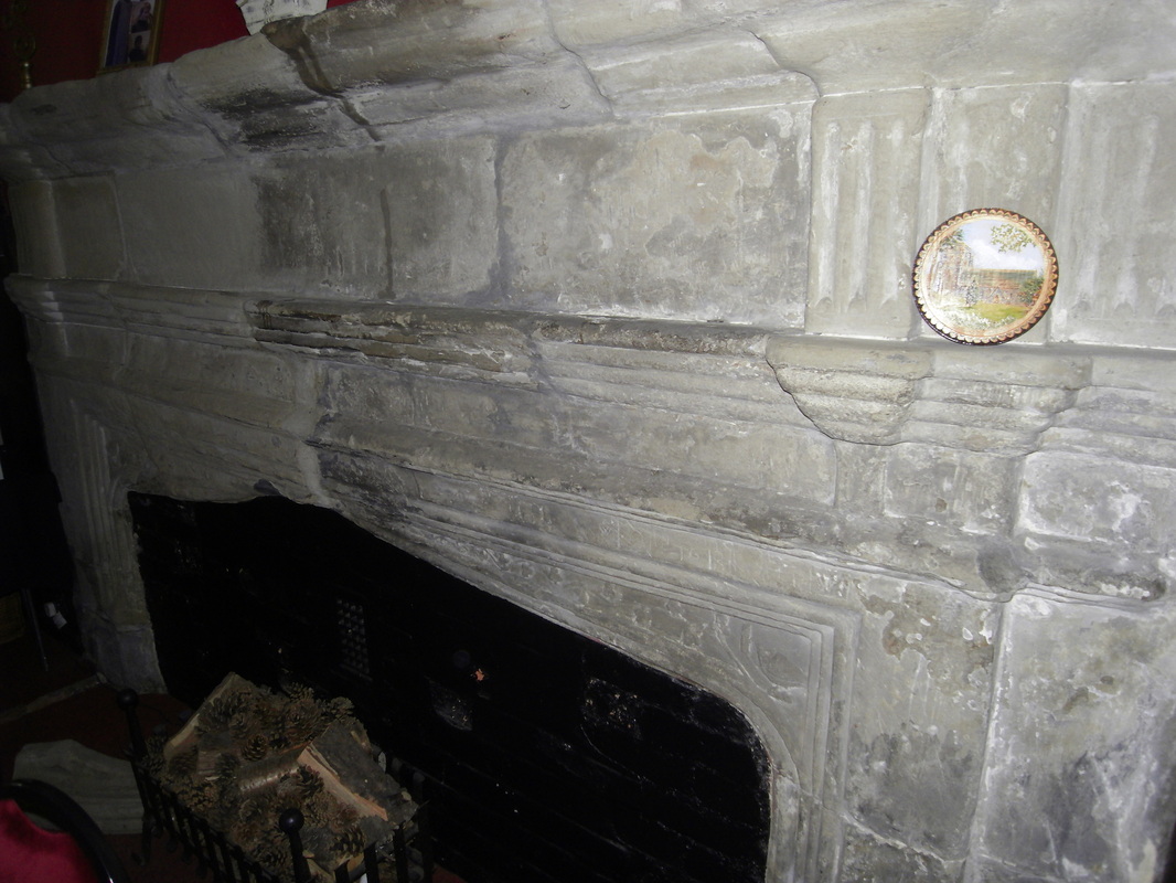
The ancient great fireplace at Polesworth Rectory where Henry Goodere entertained poets and playrights of 16th century England. John Donne, Michael Drayton, Ben Johnson and even William Shakespeare are believed to have stood by this fire place. (Peter Lee)
Picture
Polesworth Abbey (Peter Lee)
Picture
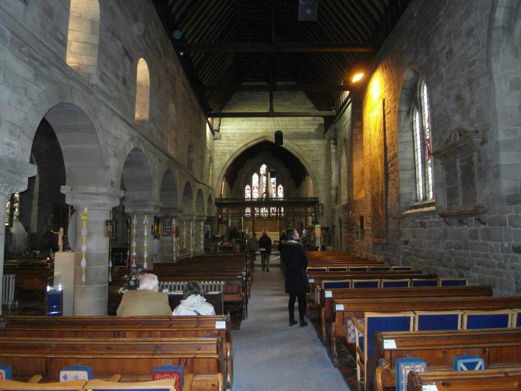
Inside Polesworth Abbey. (Peter Lee)
Picture
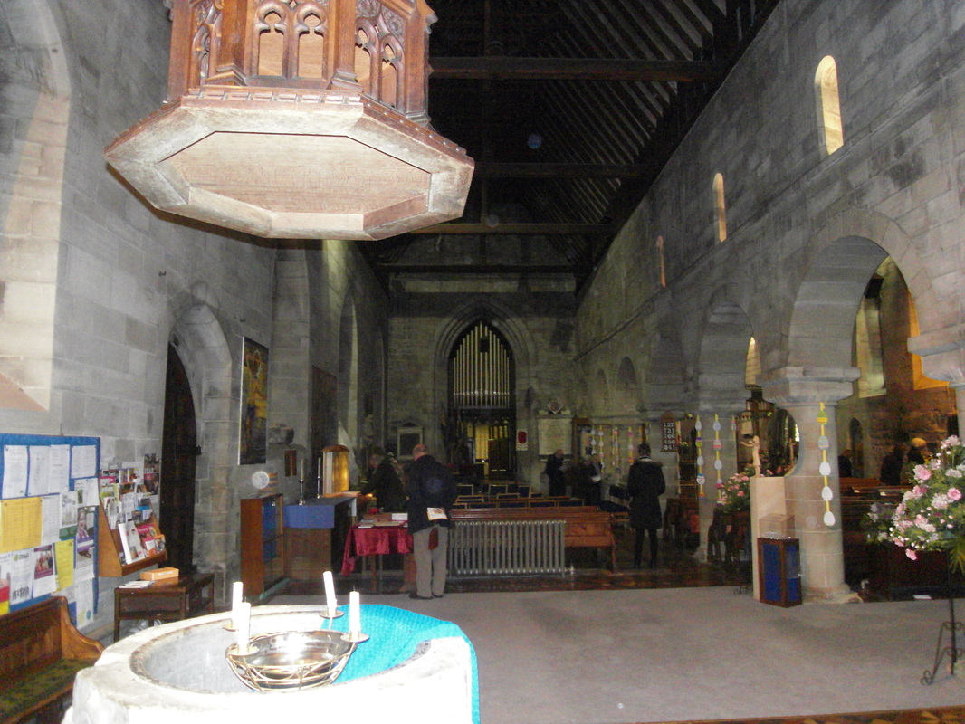
The Font at Polesworth Abbey. (Peter Lee)
Picture
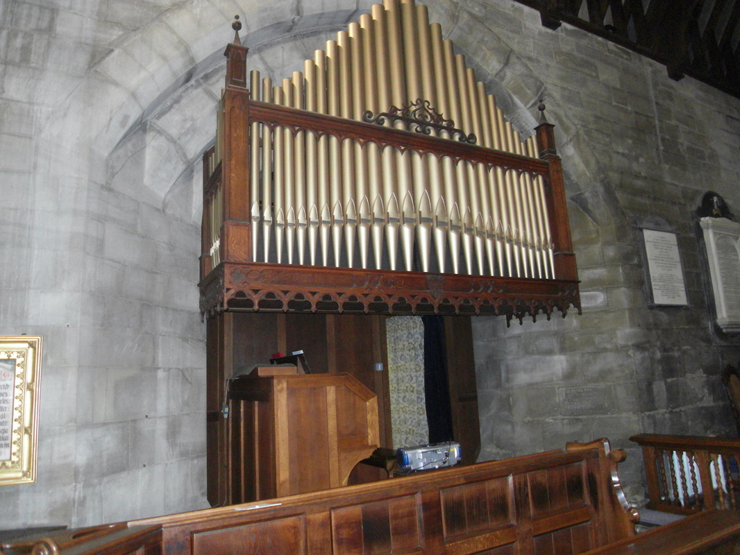
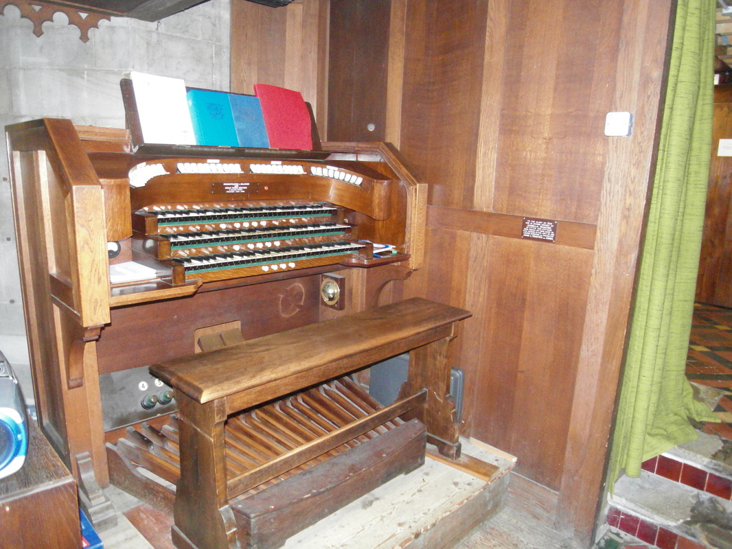
The organ at Polesworth Abbey. (Peter Lee)
Picture
Picture
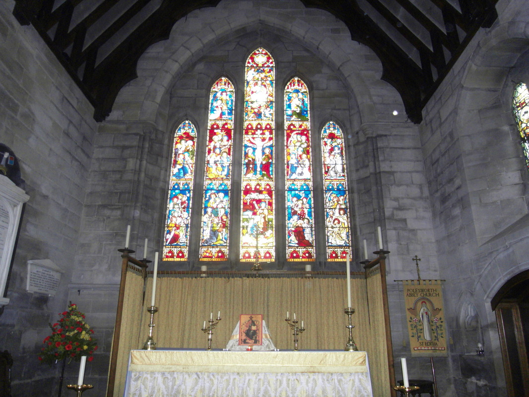
The Altar in Polesworth Abbey. (Peter Lee)
Picture
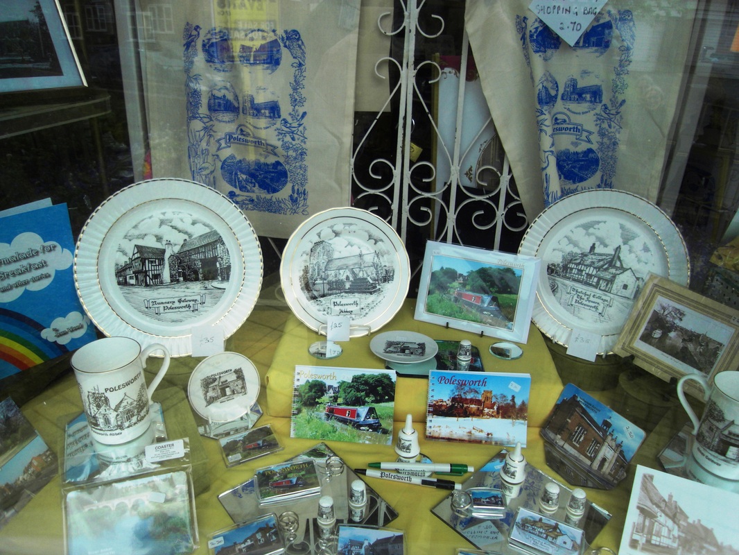
These Polesworth gifts are available from the gift shop near to Polesworth Abbey. (Peter Lee)
Picture
Picture
Polesworth Tithe Barn.
Picture

Seckington

Picture
The parish church of All Saints, Seckington dates back to the 13th century. It was extensively rebuilt in 1883. Today it only serves a population of 59 people and is in the Austrey/Newton Regis/Shuttington and Warton circuit. April 2015. (Peter Lee)
Picture
The captivating countryside around Seckington, from the graveyard. (Peter Lee)
Picture
Seckington village, there only 59 residents. April 2015 (Peter Lee)
Picture
Seckington rectory, April 2015. (Peter Lee)

​Shustoke

Picture

Stockingford, A hamlet of Nuneaton 

Picture
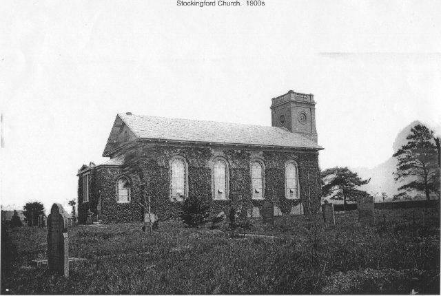
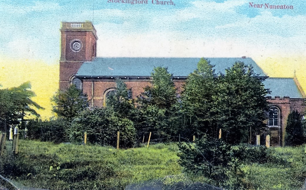
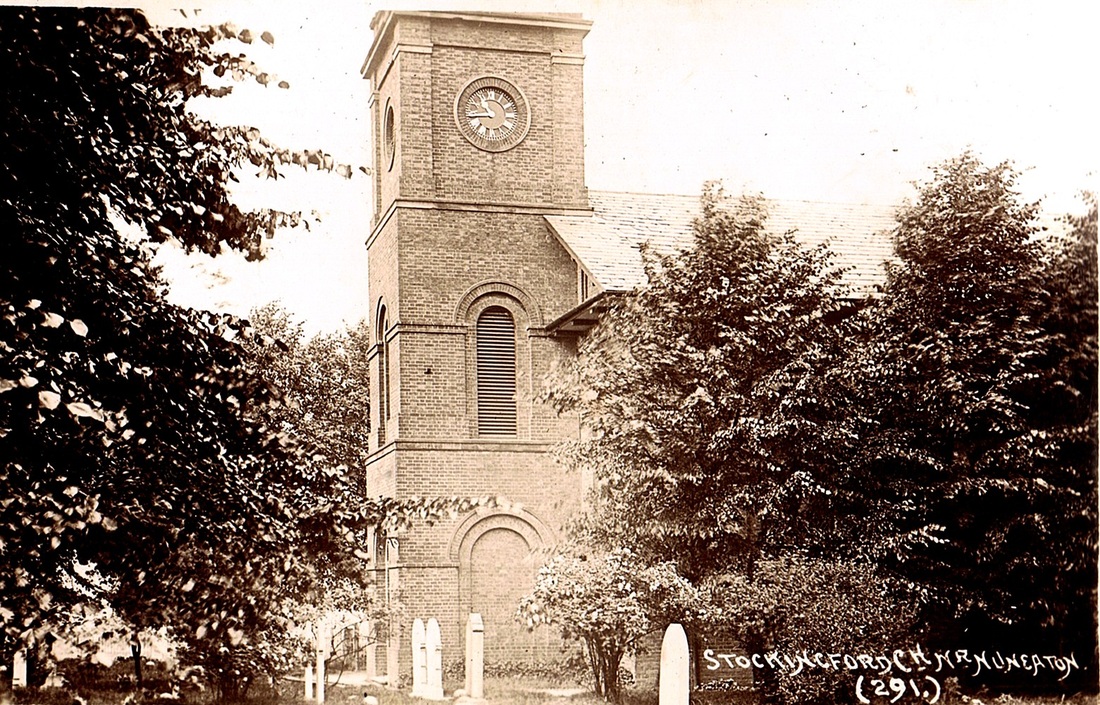
Stockingford Church. (Courtesy Geoff Ward)
Picture
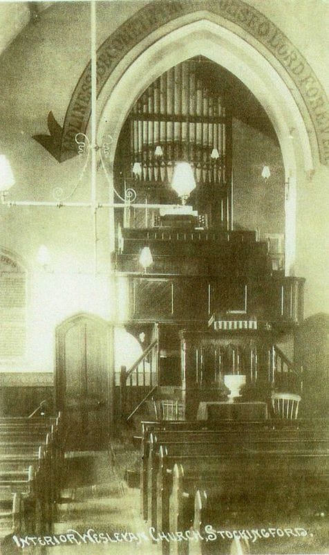
(Courtesy Glenn Noon)
Picture
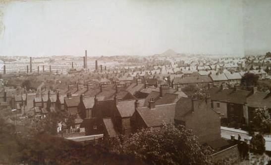
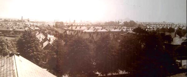
A selection of views from Stockingford church tower. This one shows Church Road and off to the left Haunchwood Brick & Tile Nr. 1 yard's chimneys. (Geoff Ward)
Picture
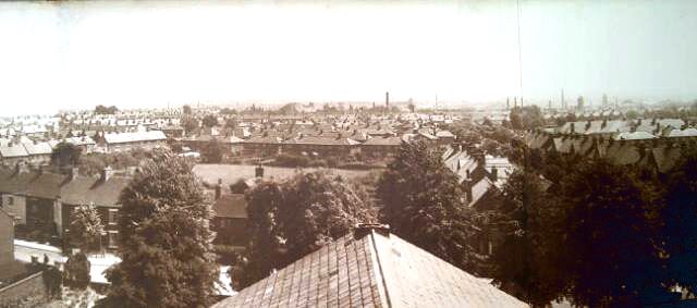
Looking back towards Stockingford over the Church Roof. (Geoff Ward)
Picture
(Geoff Ward)
Picture
Picture
Picture
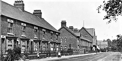
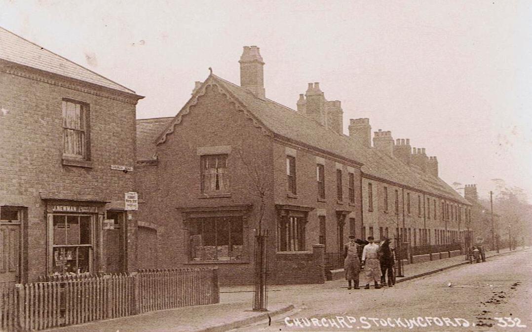
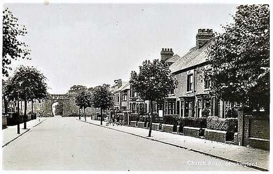
Church Road, Stockingford. (NLHG Collection)
Picture
Church Road Stockingford early 1900's. Webb Street on the left.
Picture
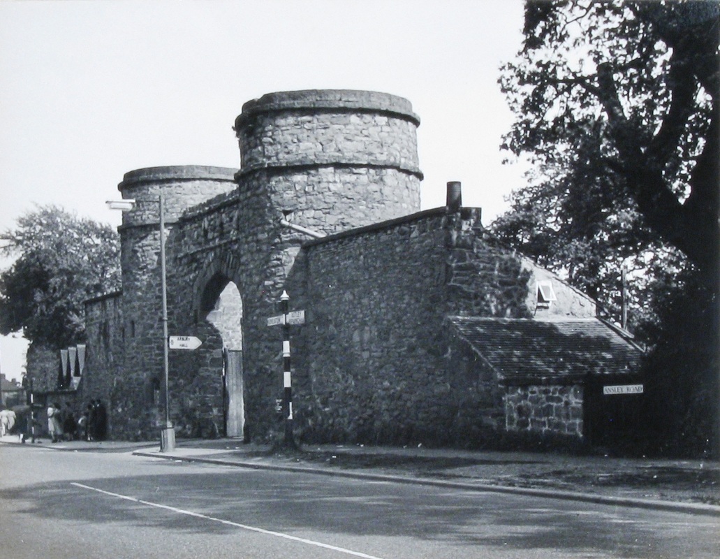
Church Road towards the Round Towers c. 1920.
Picture
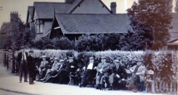
Old timers survey the passing scene diagonally opposite the Round Towers on the corner of Church Road which is off to the left. (Geoff Ward)
Picture
With its back towards us, the old Cherry Tree pub in Croft Road which was moved to Haunchwood Road in the 1930's. The year is 1925. Beyond is Stanley Brothers Nr. 1 yard.
Picture
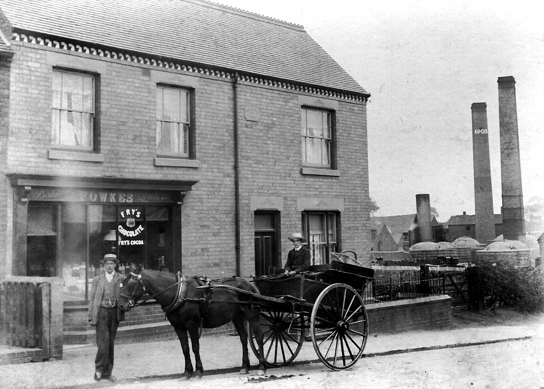
Fowkes family bakers - 253 Croft Road, Stockingford after 1903 with James George Fowkes in the cart. (1879-?) James was the son of James Fowkes (1842-1898) who was a banksman at Griff Colliery who was killed when a water barrel in a double deck cage fell on him whilst he was unloading the cage. Despite this the Fowkes family prospered, almost certainly Stanley Brothers brickyard contributed greatly to the firm's business success. (Clive Fowkes)
Picture
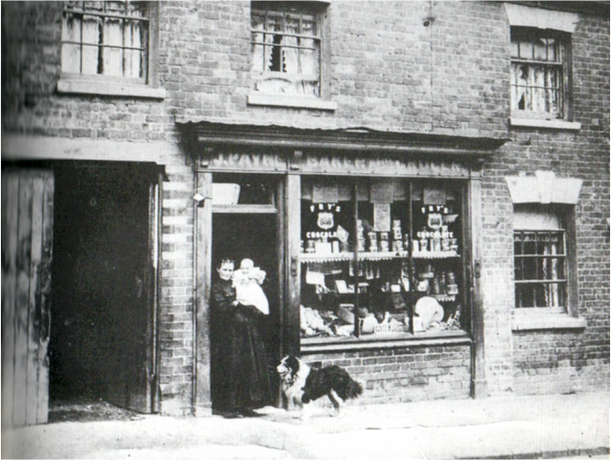
J. Payne was also a baker in Croft Road. There was more than enough business for them.
Picture
Picture
Picture
Picture
Picture
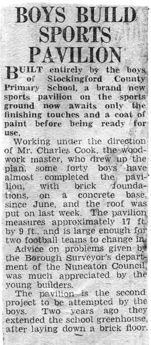
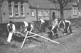
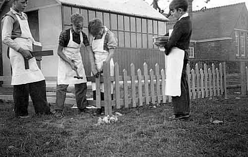
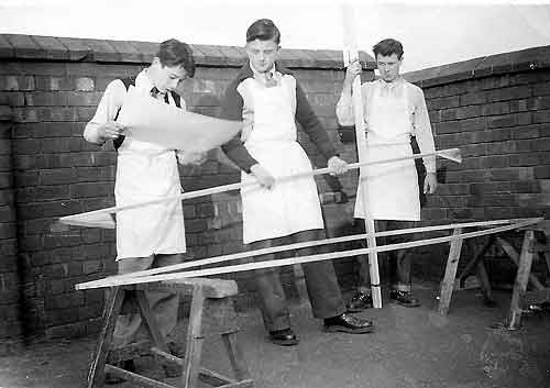
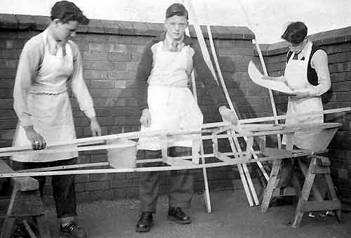
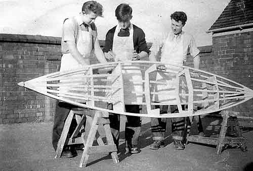
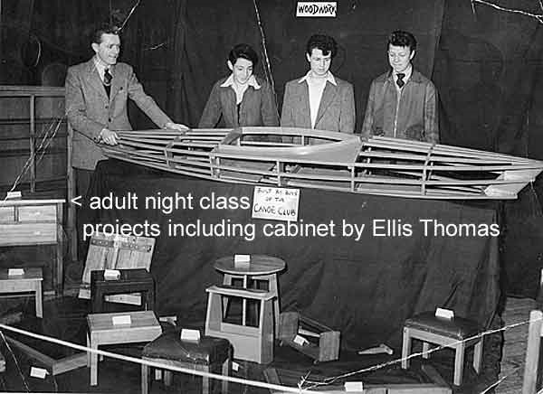
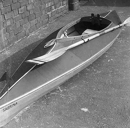
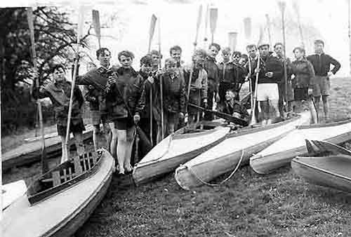
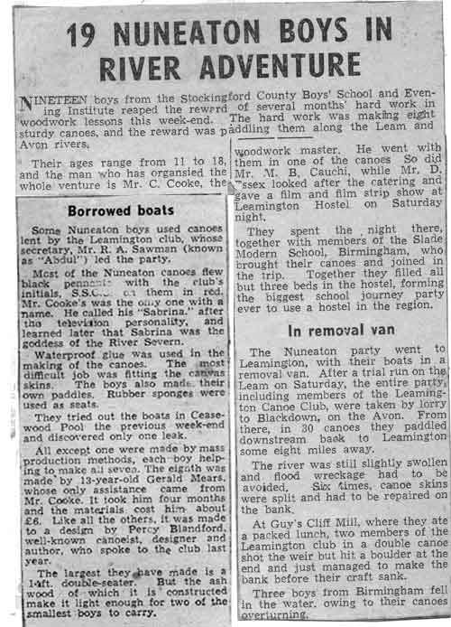
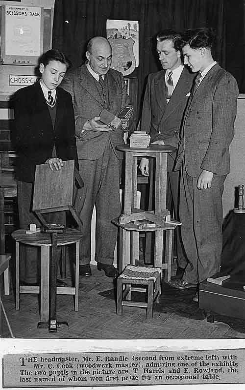
(The photos below of Stockingford County School Boys Dept. woodworking team were supplied by Charles Cook, their master in charge of their woodworking skills, and is a fine testimony to his teaching abilities.)
Picture
Picture
Picture
Picture
Picture
Picture
Picture
Picture
Picture
Picture
Picture
Picture
Picture
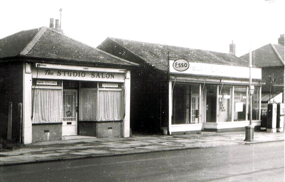
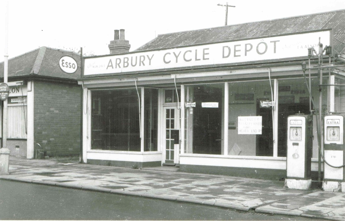
Premises in Arbury Road in the 60's or 70's. just prior to demolition. The building on the right was once a petrol station. These were just before you got to Heath End Road coming from the town on the left hand side.
Picture
Arbury Cycle Depot with its old fashioned petrol pumps from an era when stopping for a few gallons of petrol at the side of the road did not cause traffic jams or inconvenience people. (Ruby Atkins Collection)
Picture
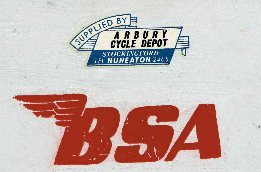
Arbury Cycle Depot were suppliers of BSA motorbykes and this is one of the water slide transfers they applied to the motorbykes they sold. (Jim Lee)
Picture
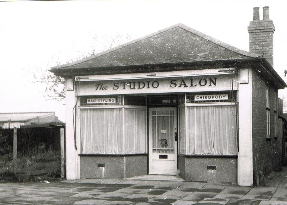
The hairdressers salon and Chiropodist in Arbury Road.
Picture
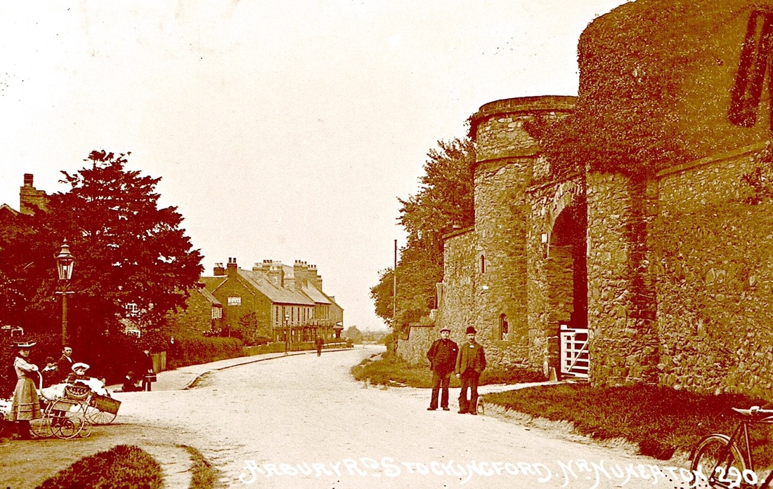
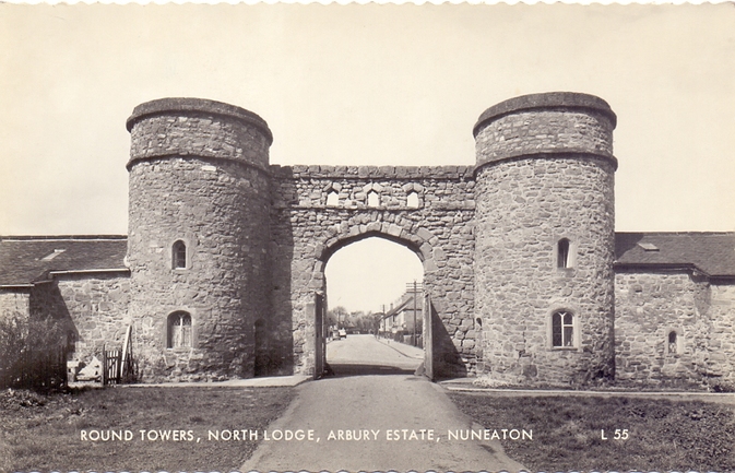
Arbury Road, Stockingford pre WW1. Church Road coming in from the left. The gates to Arbury Hall, commonly known as The Round Towers, on the right. Bucklers bakers shop on the left. Still trading today as a bakers with its distinctive Hovis sign. (J.Bradbury, Stockingford)
Picture
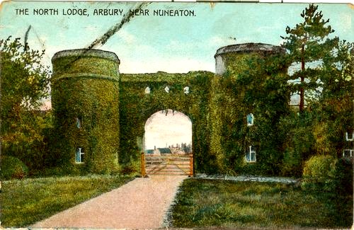
The "Round Towers" The distinctive gate house to the Arbury Estate. Church Road, Stockingford is beyond.
Picture
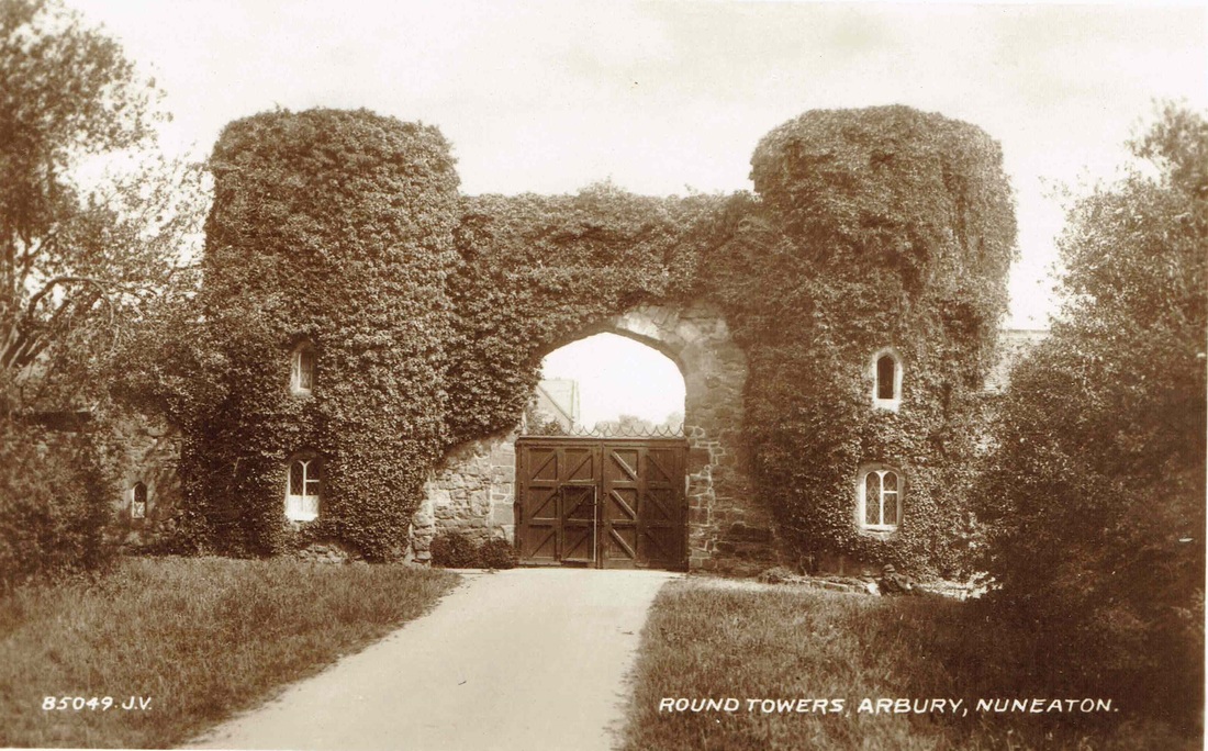
Framed in the archway of this view of the Round Towers you can see Church Road, Stockingford.
Picture
Picture
Picture
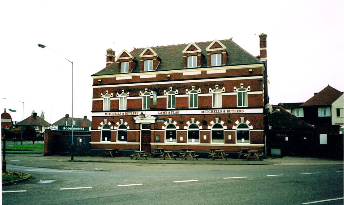
The Lamb & Flag pub at Stockingford is a great piece of architecture. (Victor Welland)
Picture
As new housing encroaches on its land an old farm is demolished at Bucks Hill. The chimneys of Haunchwood Brick & Tile can be seen in the distance. 17th April 1971. (Geoff Edmands 1/50:F.15 Nr. 4718)
Picture
The Single Tower farm in Ansley Road. (Reg. Bull)

Warton

Picture
Picture
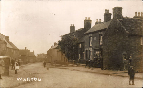
Warton Village

Weddington

Picture
​
weddington_walk.pdf
File Size: 2203 kb
File Type: pdf
Download File

Picture
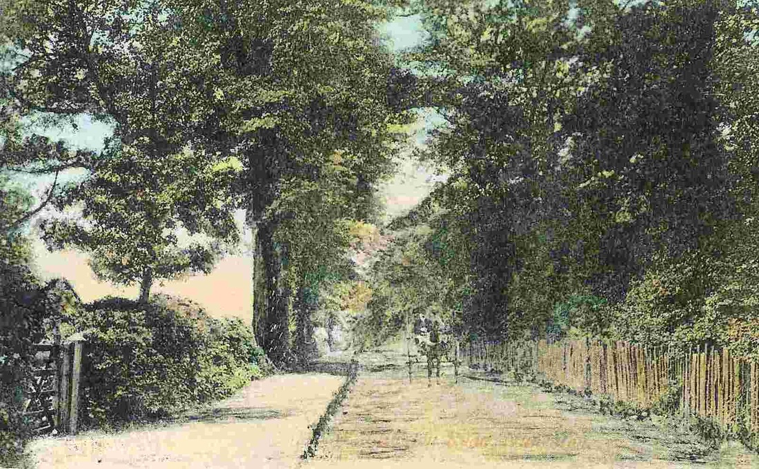
Weddington Lane, c. 1900's.
Picture
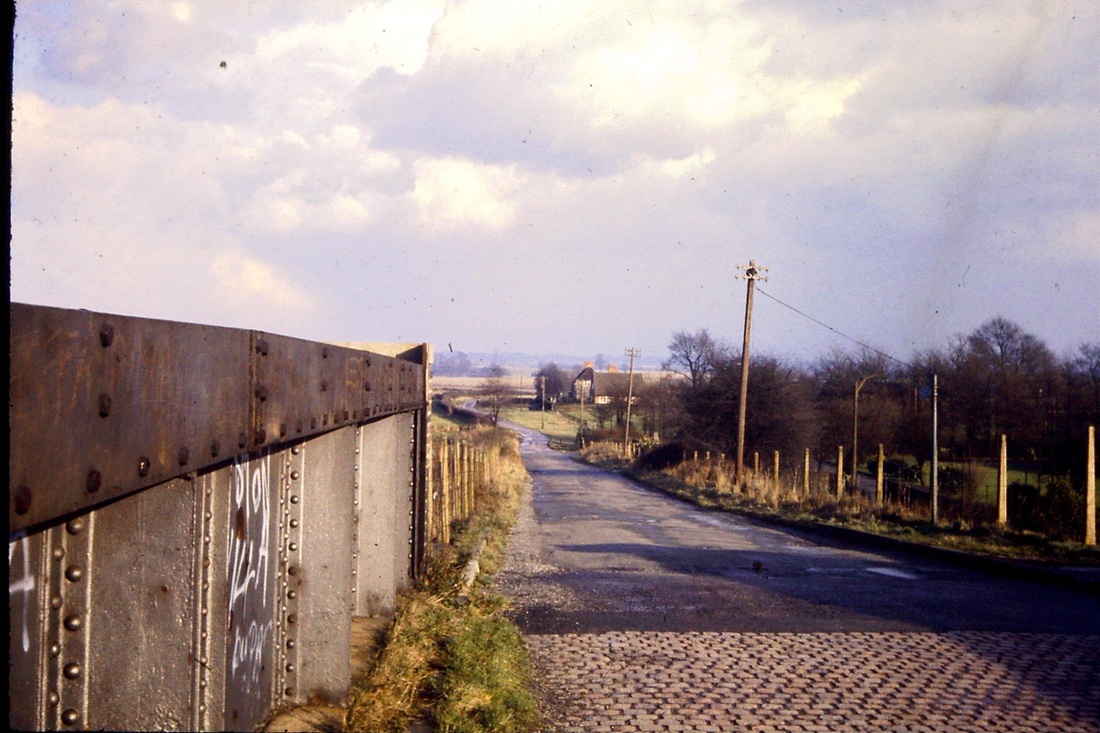
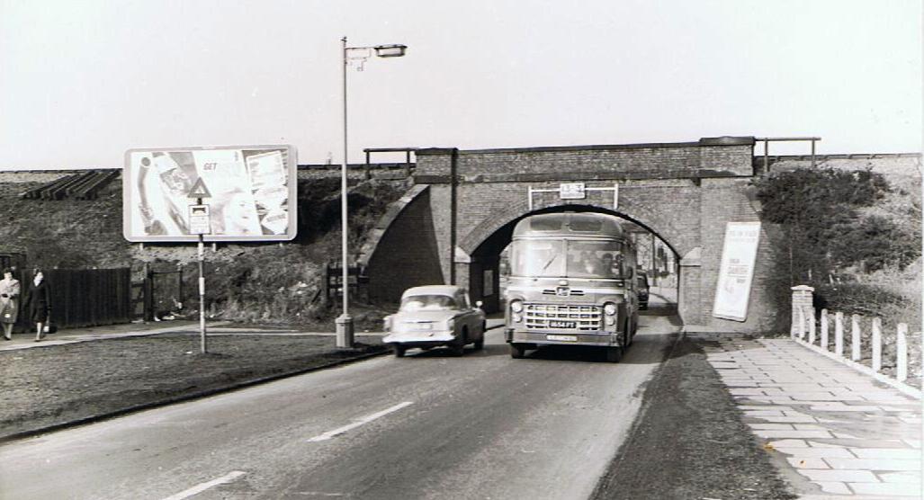
The old railway bridge in Weddington Road before it was replaced by a steel bridge c. 1960's (Geoff Edmands)
Picture
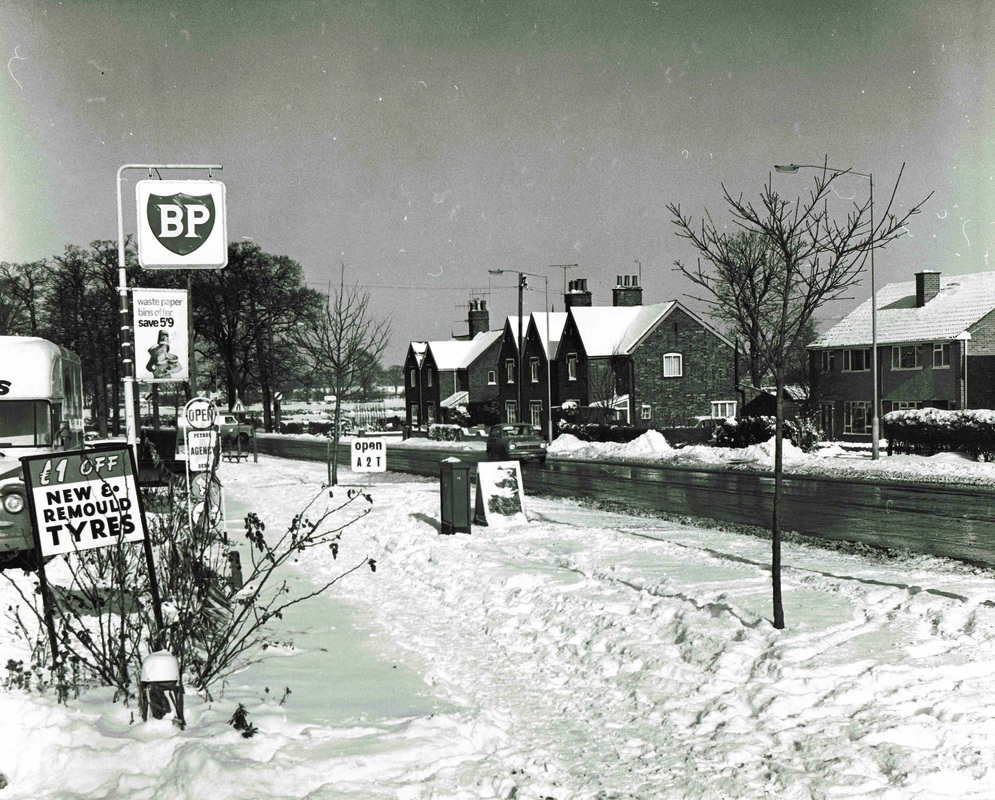
A wintry day in Weddington Road on the A444 heading out of Nuneaton. Sometime in the 1960's. Barry Farmer's BP petrol station on the left. Tyres were cheap back then. (Reg. Bull, Ruby Atkins Collection)
Picture
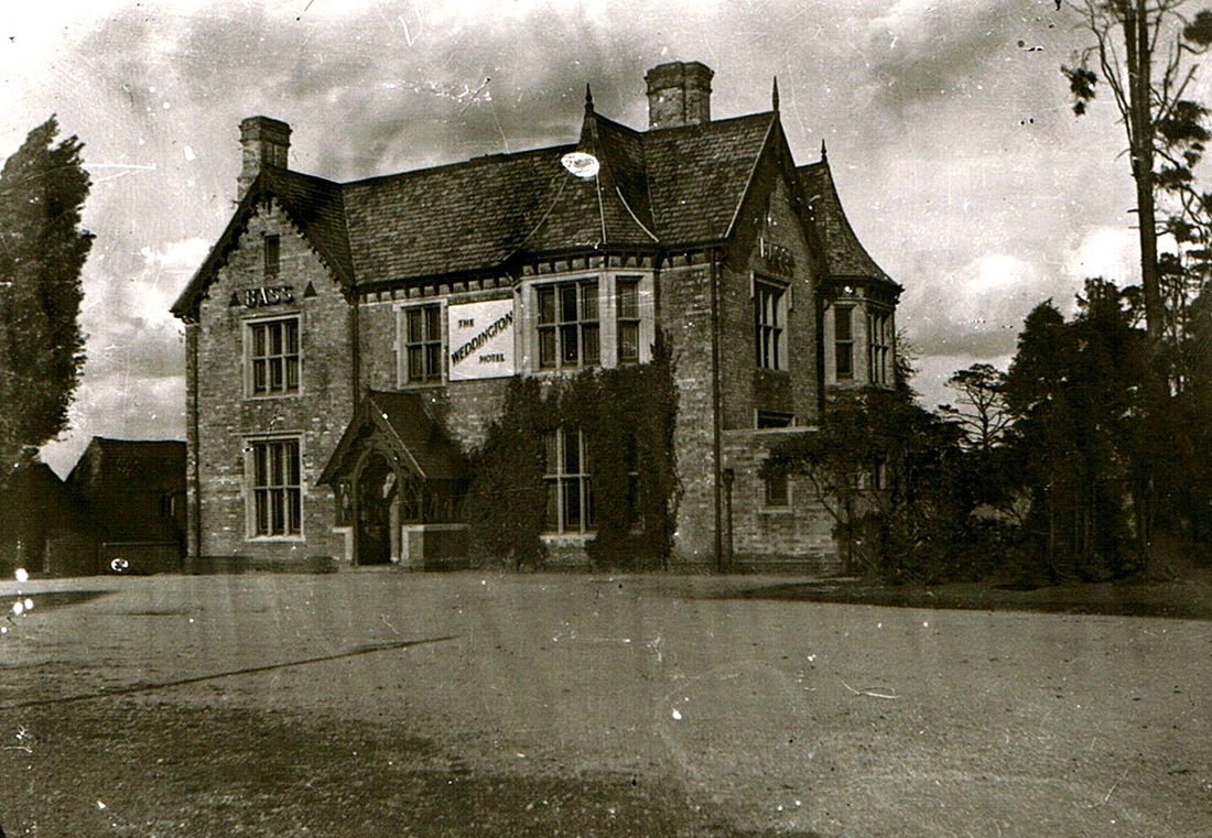
The Grove at Weddington was once part of the Weddington Hall estate and in 1934 it became the Weddington Hotel - in fact a pub when its licence was transferred from the Pheasant public house in Abbey Street which was closed that year. Later on it was renamed the Fox & Crane, but it is now being turned into apartments by a property developer.
Picture
The Weddington Hotel. (Nita Pearson)
Picture
Weddington Grove, 1988. (Alan Cook)
Picture
Another detail of Weddington Grove. 1988 (Peter Lee)
Picture
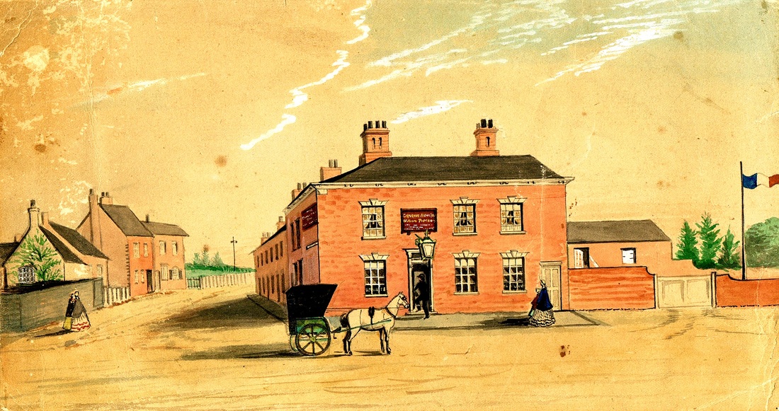
An old water colour painting of the Graziers Inn, with the original road to Weddington and ultimately Derby. (it was called Derby Lane in the late 19th century.) This road was by passed and the section we see here is now called Weddington Terrace, as you can see the terrace of houses beyond the pub to which the road derives its name from. The painting is undated but must be after 1847 as you can just see above the roadway to the right of the terrace of houses, a rotating banner signal on the former Trent Valley Railway (now the West Coast Main line). The buildings on the left, a short row of cottages may have housed a beer house called - "The Gardeners Arms" because this area of Nuneaton which stretched from the Weddington Terrace across to Higham Lane allowed the people of Nuneaton to graze their animals and sow crops (hence Graziers and Gardeners Arms). The left hand side row of cottages was demolished in the 1870's when the Nuneaton station was extended eastwards to accomodate new platforms and a marshalling yard expansion. I have no idea what the significance of the French flag was?
Picture
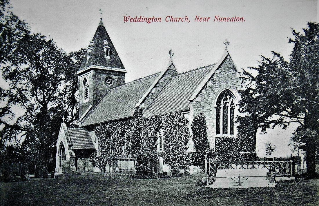
Weddington Church in the 1950's (Colin Yorke)
Picture
Picture
Picture
Picture
Picture
Picture
Picture
Picture
Picture
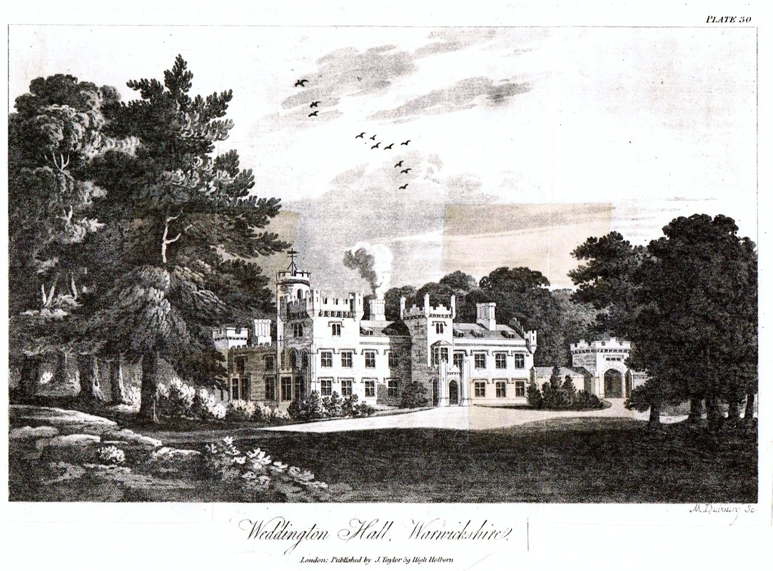
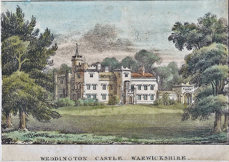
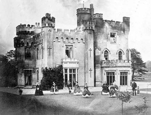
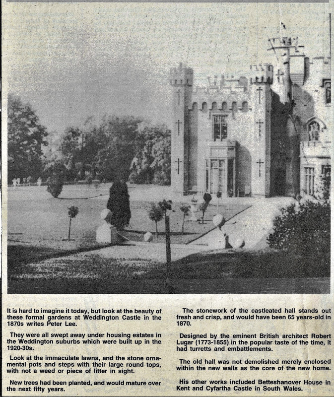
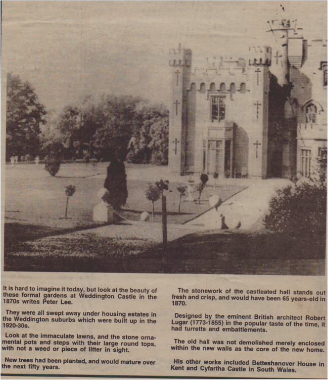
A garden party at Weddington Castle.
Picture
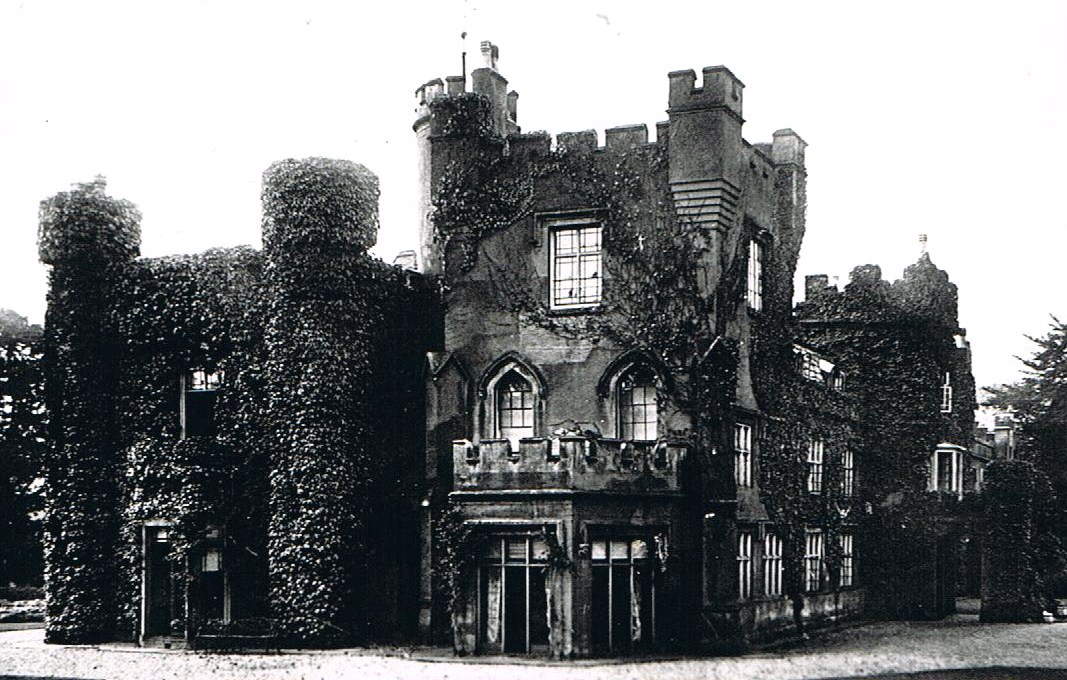
It is hard to imagine today that in Victorian times property owners thought it fashionable to thoroughly cover their buildings with ivy. Weddington Castle disappears into the Boscage.
Picture
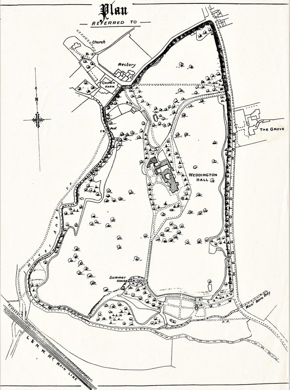
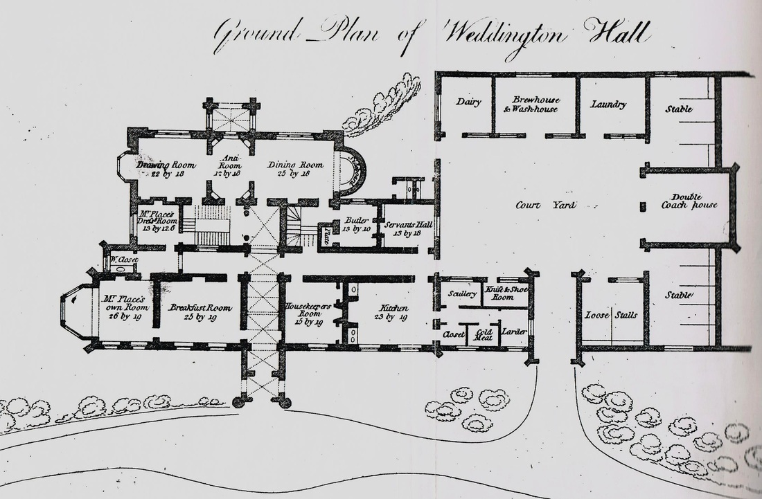
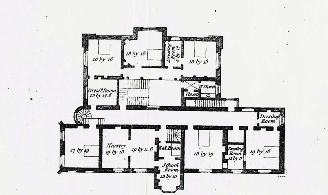
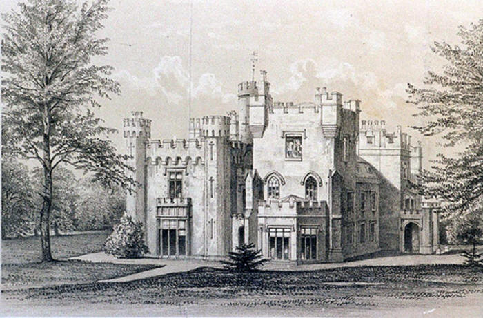
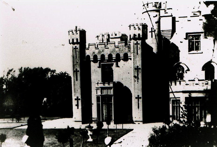
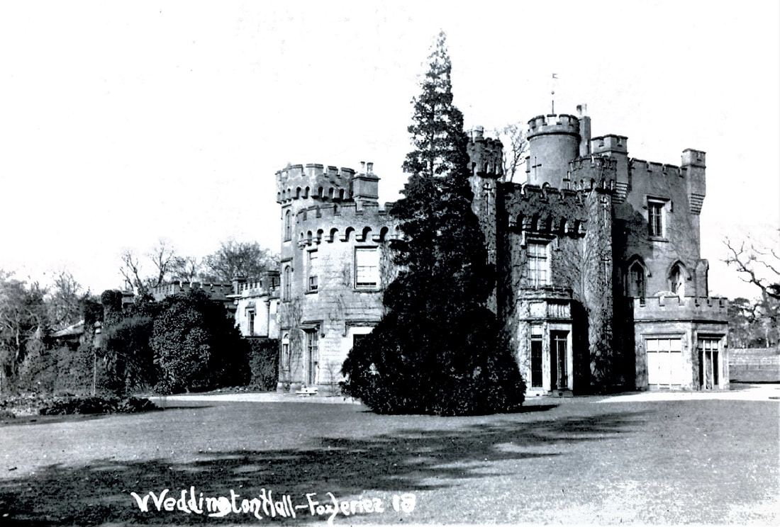
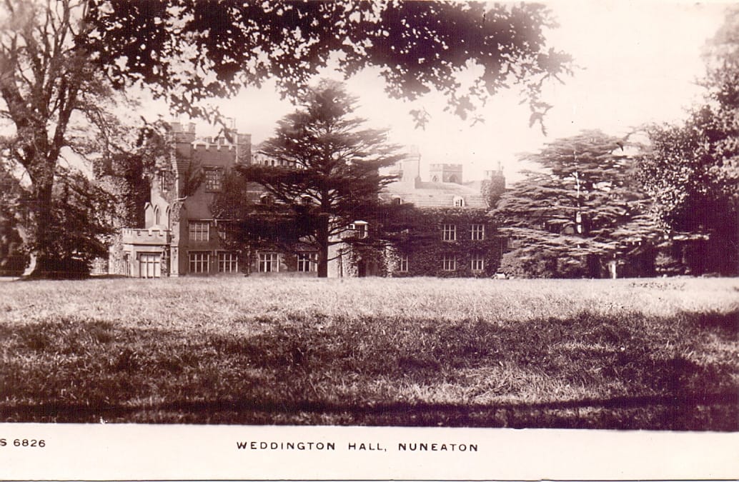
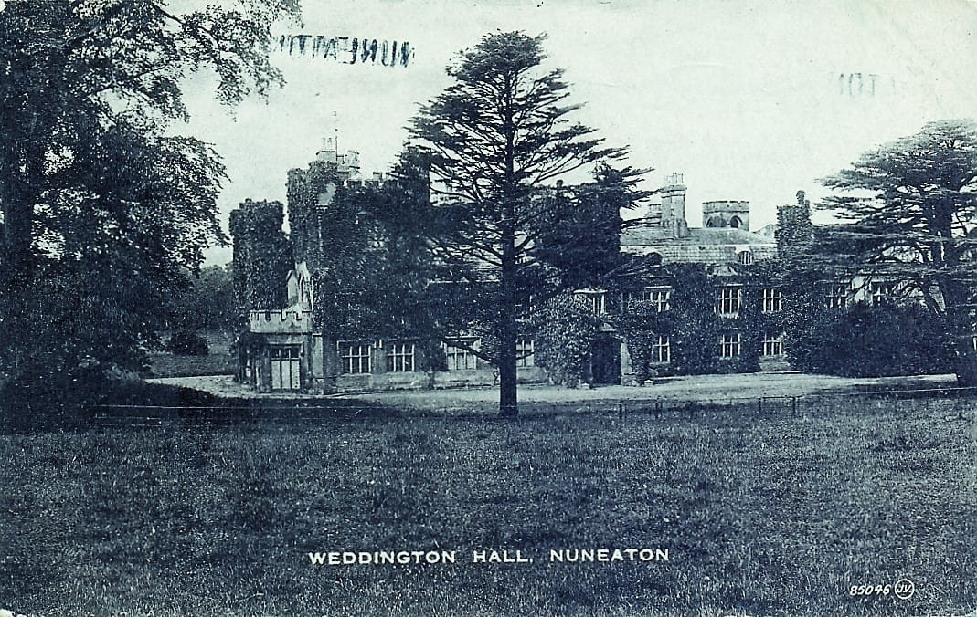
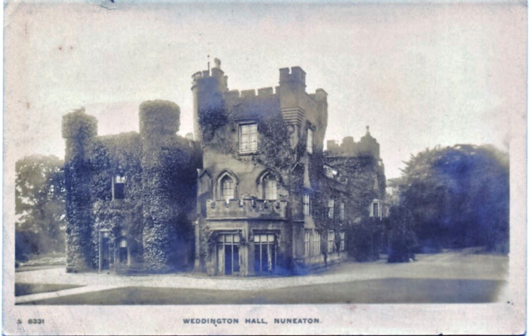
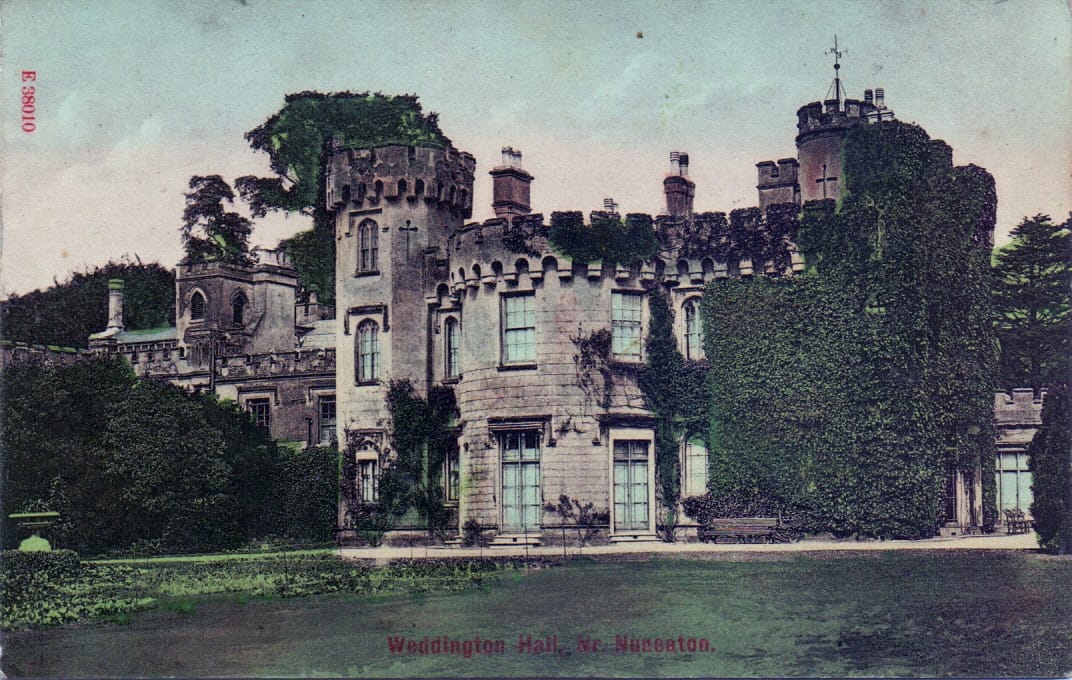
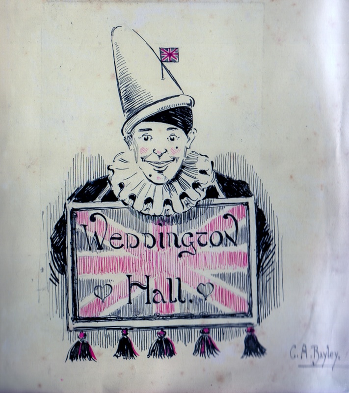
Weddington Hall
Picture
Picture
(Glenn Noon Collection)
Picture
(Glenn Noon Collection)
Picture
(Glenn Noon Collection)
Picture
(Glenn Noon Collection)
Picture
Picture
(Glenn Noon Collection)
Picture

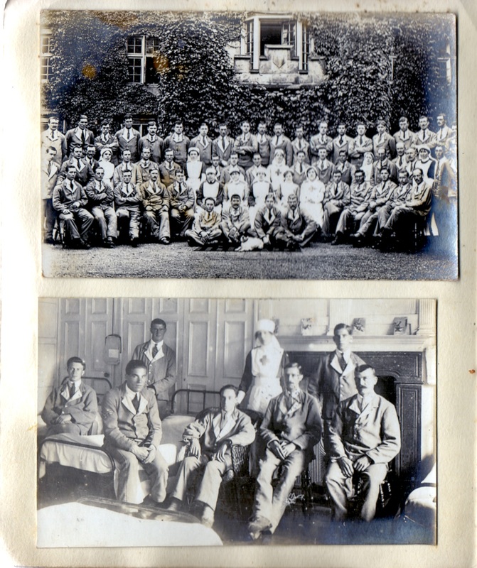
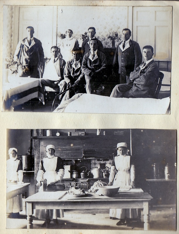
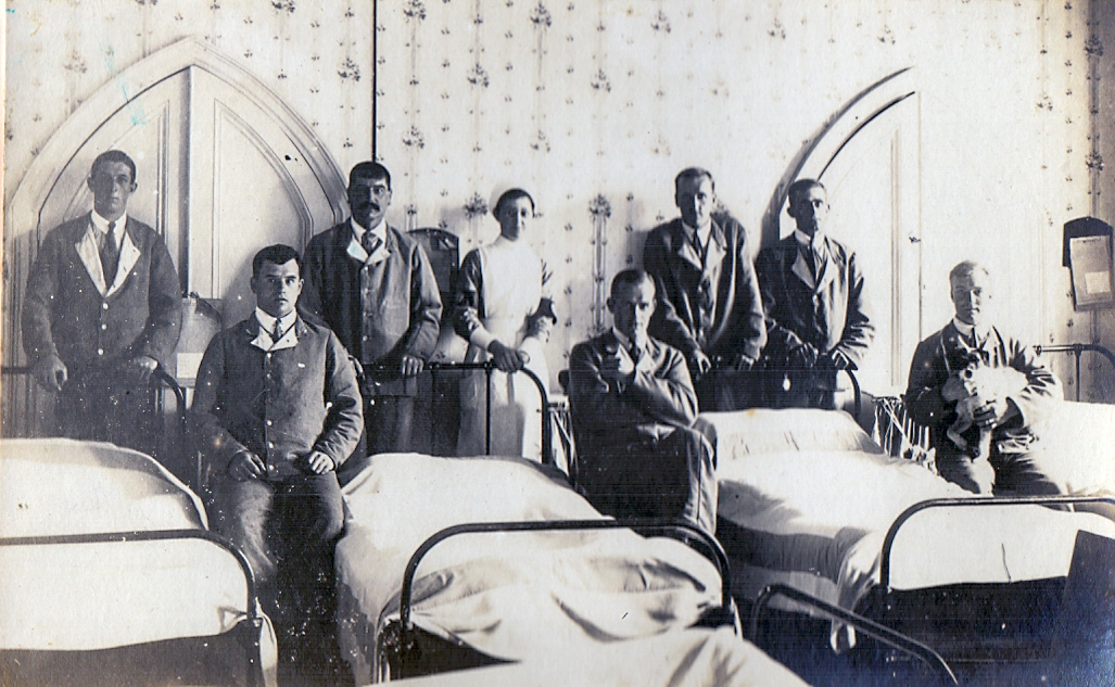
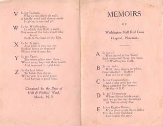
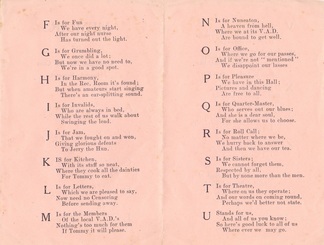
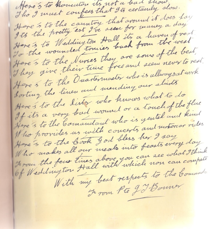
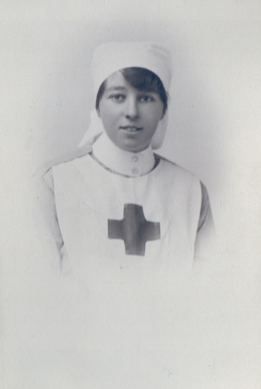
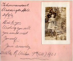
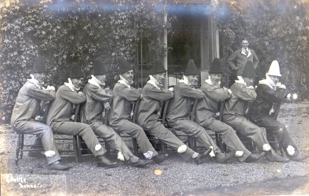
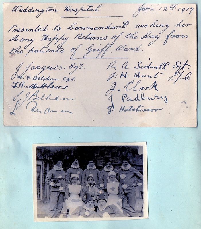
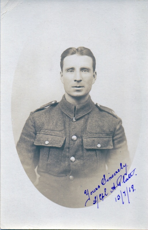
 ​Weddington Hall Red Cross Hospital 1916-1919
From the Archives of Mr. Peter Chater
​and the albums of Mrs. M.M.M. Fowler OBE Commandant of the Hospital

Picture
Picture
Picture
Picture
Picture
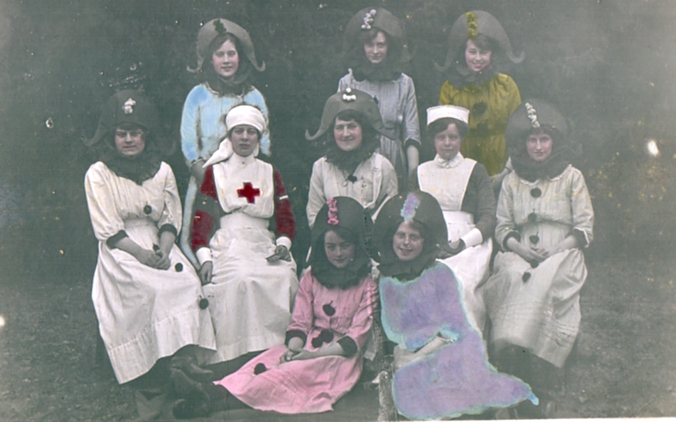
The Commandant, Mrs. M.M.M.Fowler OBE (with the red cross on her uniform) and her nurses entered into the spirit of the fun and frolics.
Picture
Picture
Picture
Picture
Picture
Picture
Picture
Picture
Picture
Weddington Gate August 1974 (Alan Cook)
Picture
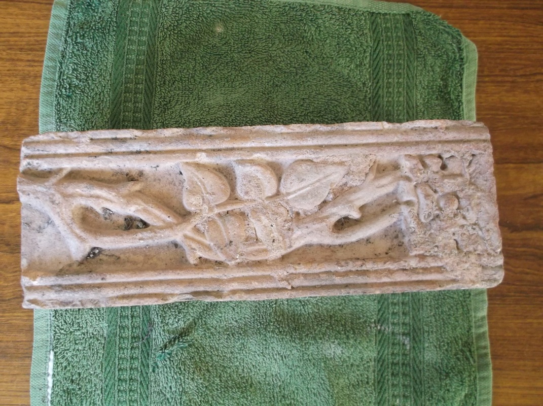
A finely decorated brick which is believed to be from Weddington Castle and was found in a house in Castle Road. (Peter Lee)
Picture
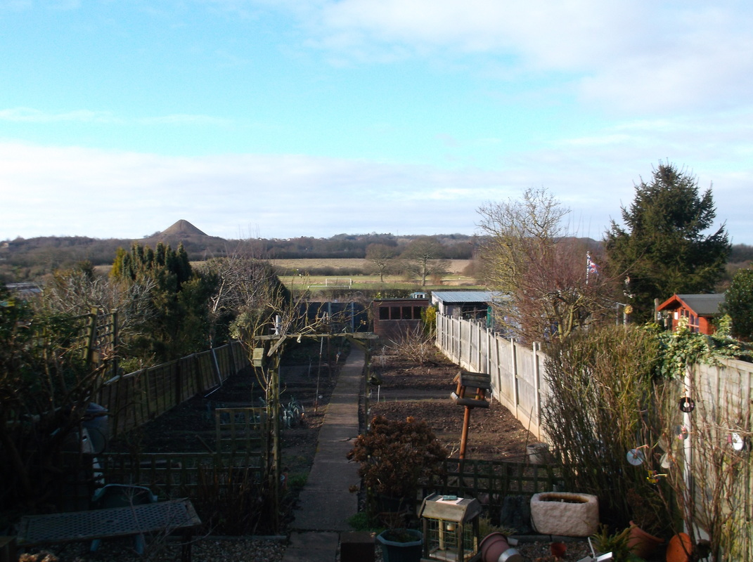
A view from a house in Castle Road looking towards Mount Jud on the Nuneaton ridge. This is an escarpment of hard diorite stone which was quarried in several place beyond the tree line on the horizon. (Peter Lee)
Picture
Cresswell's Dairy Farm, Weddington. (Jill Morrow Collection)
Picture
Richard Cresswell is driving the tractor. The cottages in the background front Weddington Road. All these fields are covered with houses today. (Jill Morrow Collection)
Picture
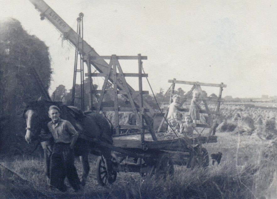
Children enoy a ride on a trailer in Weddington. Valerie Wilson, Mavis Cresswell and sitting Jill Cresswell (Morrow) left, Geoffrey Wilson and Teresa Diskin. (Jill Morrow Collection)
Picture
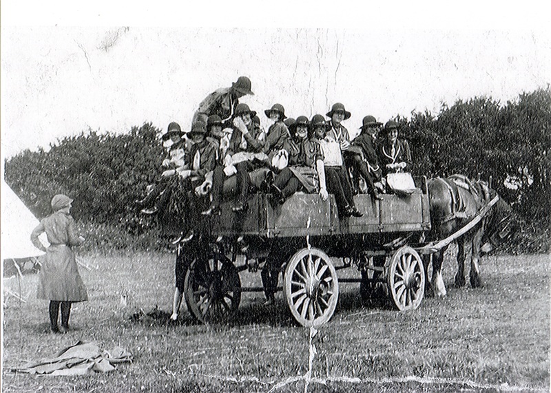
A Weddington cart load of girl guides. (Jill Morrow Collection)
Picture
Church Farm, Weddington. (Alan Cook)
Picture
Weddington parish church stands isolated and the River Anker meanders by in this May 1989 aerial view by Alan Cook. The former Ashby & Nuneaton Joint Line crosses at the top of the photo.

Whateley

Picture

Wilnecote

Picture
The Parish Church of Wilnecote. (North Warwickshire Villages Research Group)
Picture
Picture
Picture
Picture
Picture

Witherley

Picture
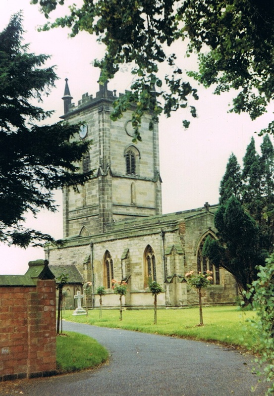
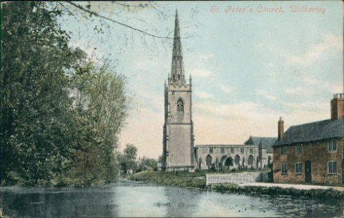
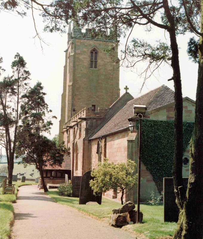
Witherley Church. This is still a beautiful setting today.
Picture
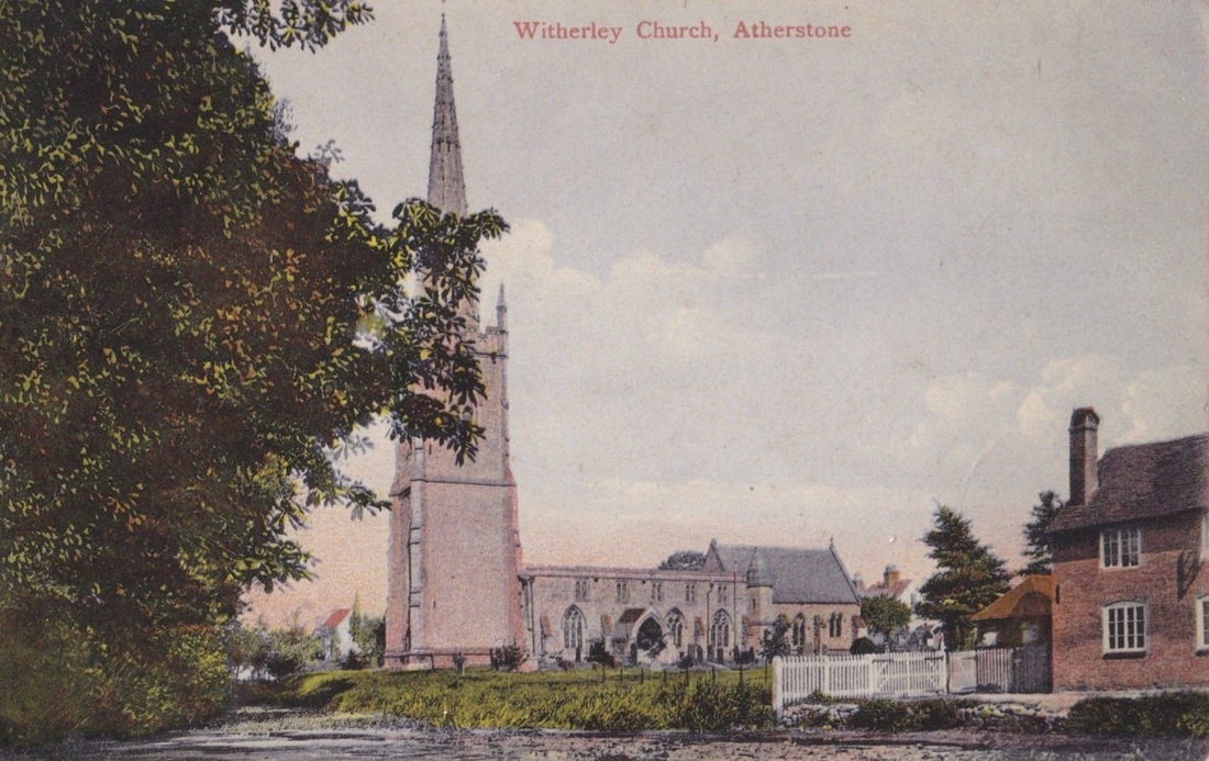
The same view from a slightly different angle.

Wolvey

Picture
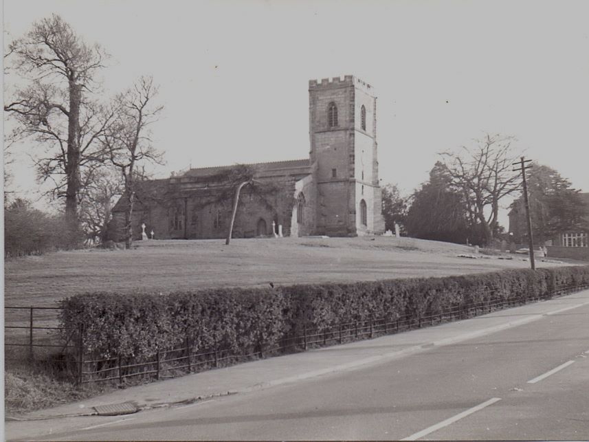
Wolvey Church 18th February 1961. (Geoff Edmands)
Picture
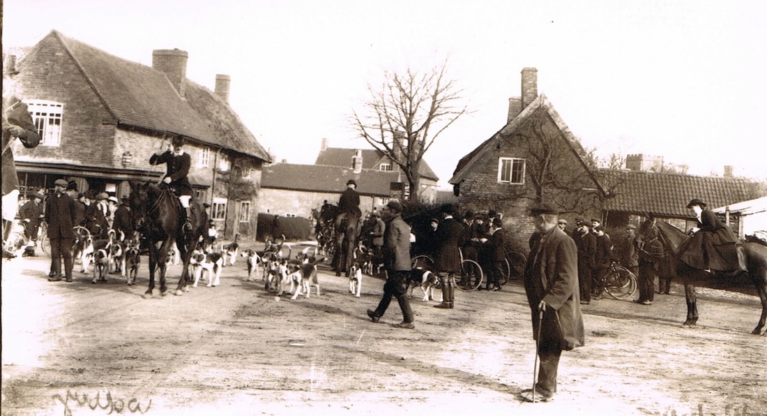
The hunt gathers at Wolvey. I am not sure whether this is the Atherstone Hunt?
Picture
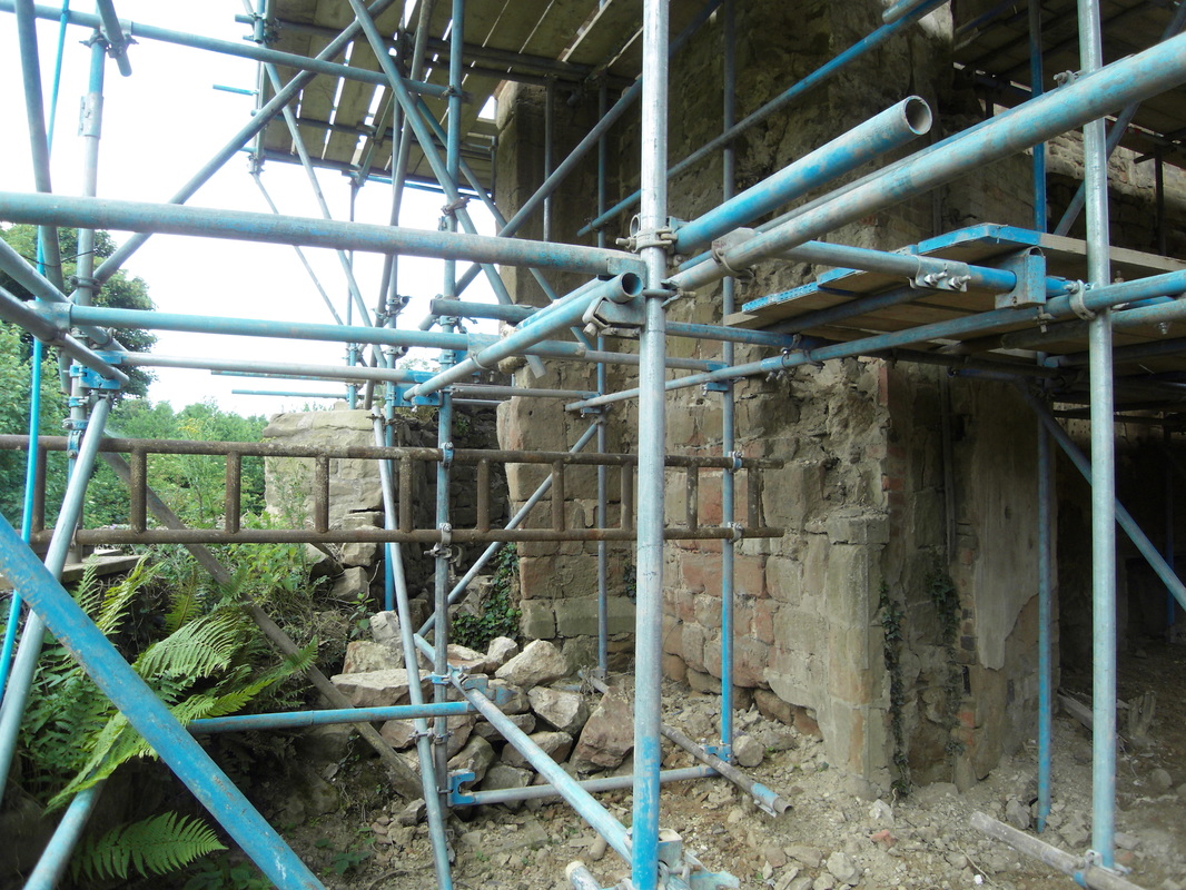
A Wolvey farm hand in traditional attire.